Intertill Evidence30867 BCE
Thirty thousand eight hundred and sixty-seven BCE is a modern label, not a recoverable Irish year. At Derryvree near Maguiresbridge, County Fermanagh, freshwater sediments between two tills demonstrate a local ice-free interval during climatically unstable MIS 3, broadly dated to 36,900–31,700 calibrated years BP. Plant and insect remains indicate cold, treeless wetland with sedges, mosses and aquatic flora. Southern Irish caves preserve MIS 3 animal remains, but do not reconstruct a single community. A possibly cut-marked reindeer bone suggests occasional human visits, not settlement. Later glaciation and rising seas destroyed evidence. Ireland’s geography, people and routes from Britain remain uncertain.
Dateline
30,867 BCE is not a recoverable Irish year. It is a modern calendar label for a point about 32,816 years before AD 1950, during the Late Pleistocene and Marine Isotope Stage 3 (MIS 3), a long and climatically unstable part of the last Ice Age. No people in Ireland named this year; there are no written records, annual deposits capable of identifying a single season, or securely dated settlement remains from which to construct an event-by-event history. The responsible account is therefore one of calibrated ranges, sediments, animal remains and cautious comparison.
The closest important evidence comes from Derryvree, near Maguiresbridge in County Fermanagh. There, a road cutting exposed freshwater silts, sands and organic sediments caught between two layers of glacial till. The lower till records an earlier passage of ice, the sediments a subsequent ice-free interval, and the upper till a later glacial advance which sealed the older landscape. A radiocarbon determination from the organic material, BIRM-166, was reported as 30,500 radiocarbon years BP, with a substantial error range. Radiocarbon years are not calendar years. When calibrated, the deposit has been placed broadly within late MIS 3, approximately 36,900–31,700 calibrated years BP in published discussions. The nominal date falls only towards the younger end of that wide interval. It cannot identify the moment when a particular pool formed, a plant flowered, or an animal passed by.
A Landscape Between Ice Advances
Derryvree matters because it refutes any simple picture of Ireland as either continuously glaciated or continuously open during this remote period. Its stratigraphy is direct evidence that, at one point during the dated interval, ground in Fermanagh lay free from overriding glacier ice long enough for freshwater sediment and organic matter to accumulate. It does not prove that all of Ireland was ice-free at the same time. Nor does it establish a uniform climate across the island. It documents a local environmental window in a landscape repeatedly transformed by ice.
The broader setting was one of cold variability. MIS 3 contained sharp climatic shifts, and the growth of the British–Irish Ice Sheet was uneven across regions and through time. Major modern reconstructions concentrate on the period from about 31,000 years BP onwards, when the final major expansion of the ice sheet accelerated, but they also emphasise differing local histories rather than a single, simultaneous advance. Around 30,867 BCE, Ireland was approaching a phase in which glacier ice would become increasingly dominant. Whether a particular valley, upland or coast was then occupied by ice, exposed as periglacial ground, or affected by meltwater cannot be stated with annual precision.
The later ice sheet did more than make life difficult: it removed evidence. Moving ice eroded soils, reworked sediments, transported stones and buried older surfaces beneath till. Rising sea levels after the Ice Age then drowned many former coastal plains. The scarcity of Palaeolithic traces in Ireland is consequently not proof that no person or animal ever entered every part of the island. It is also a consequence of preservation. Deep caves and exceptional deposits such as Derryvree survive precisely because they escaped complete destruction or were protected beneath later sediments.
Cold Water, Sedges and Open Ground
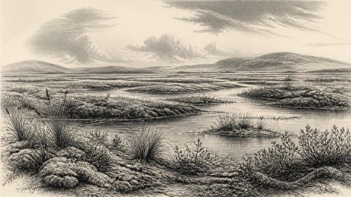
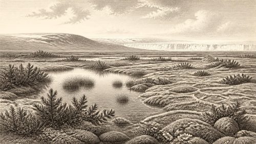
The Derryvree freshwater series preserves plant and insect evidence that gives this otherwise lost landscape some texture. Mosses, sedges, aquatic plants and cold-adapted herbs indicate wet ground around shallow fresh water. Finds reported from the sequence include bogbean (Menyanthes trifoliata), mountain-avens, dwarf willow and lesser clubmoss, alongside pollen and insect assemblages consistent with cold, largely treeless conditions. These are observations about organisms represented in the deposit. The wider image of a tundra-like mosaic of pools, sedge margins, herbs, low shrubs and exposed mineral ground is an interpretation built from that evidence and regional comparison.
It was not an Irish landscape of dense forest, farms or settled villages. Trees, if present locally, would have been sparse and low. Frost action, seasonal thaw, wind and fluctuating water levels probably shaped open ground around the wetland. Summer light could have supported a brief burst of plant growth; winter conditions would have been severe. Such habitats could sustain insects, water birds and grazing mammals, but the evidence does not permit a confident reconstruction of the full food web at Maguiresbridge in this particular year.
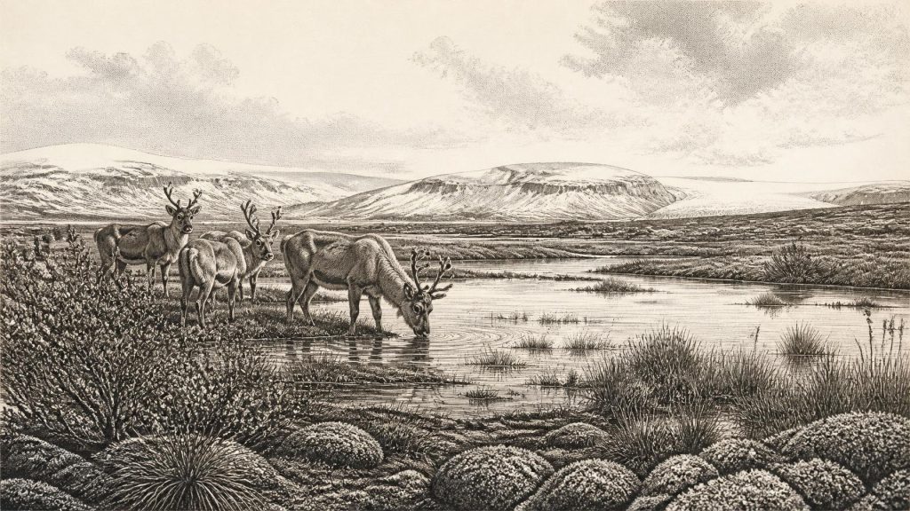
Southern Irish caves offer a complementary, though not synchronous, view of the wider late-Pleistocene animal world. Castlepook Cave, near Doneraile in County Cork, is especially important because it has yielded one of Ireland’s richest vertebrate assemblages. Reindeer, woolly mammoth, giant deer, brown bear, wolf, Arctic fox, mountain hare, lemming and spotted hyaena have all been identified among material from the cave or its deposits. Direct dating and reassessment have shown that some southern Irish fauna belong to MIS 3, before the Last Glacial Maximum. The cave collection should not, however, be treated as a census of one living community, nor placed automatically in the same season or century as Derryvree. Cave deposits often combine remains accumulated over long spans, by carnivores, natural death, water movement and excavation practices that were far less controlled than those used today.
The Human Question
The possibility of people in Ireland at this time requires particular restraint. A reindeer femur from Castlepook bears a deep incision interpreted by zooarchaeologist Ruth Carden as a possible cut made with a sharp stone tool during carcass processing. The bone has been associated in public discussion with an age of roughly 33,000 years ago. If the mark is securely anthropogenic, it may represent an exceptionally early human action in Ireland: perhaps the processing of meat, hide, sinew or marrow from a reindeer carcass.
That is a significant possibility, not proof of an established population. The bone derives from an old cave collection rather than a modern excavation with an intact occupation surface. No associated hearth, stone-tool assemblage, dwelling, burial or repeated sequence of food waste demonstrates a camp at Castlepook. The date of an animal’s death is not necessarily the date of a mark on its bone, and one marked specimen cannot tell us whether hunters killed the animal, found a carcass, or visited the cave itself. It certainly cannot supply a named group, language, social organisation or calendar year. The most careful conclusion is that Ireland may have received occasional human visitors during parts of MIS 3, but permanent occupation around 30,867 BCE remains unproven.
This distinction matters for everyday life. It is reasonable to say that any Upper Palaeolithic people who reached the island would have needed mobility, intimate knowledge of weather and animal behaviour, fire, stone tools, clothing and shelter. Those are inferences from contemporary hunter-gatherers elsewhere in north-west Europe, not directly observed Irish facts. Ireland presently lacks the artefacts and settlements needed to assign a specific Upper Palaeolithic culture to the island at this date. It is better to speak of possible short-lived visits than to imagine a resident “tribe”.
No Polities, No Diplomacy
There is no evidence for political institutions, chiefs, territorial kingdoms, formal diplomacy or organised warfare in Ireland at this date. Equally, there is no evidence for farming, herding, metalworking, long-distance trade networks or a built religious monument. These absences are not merely gaps in an otherwise familiar historical record: the appropriate social scale, if humans were present at all, would have been very small and highly mobile.
Religion and learning are beyond direct recovery. A cut-marked bone, a wetland plant remain or an animal tooth cannot disclose beliefs, stories or ritual. Material culture also remains almost entirely unknown. Stone, wood, hides and bone may once have been used, but none can responsibly be attributed to an Irish community in 30,867 BCE. The key cultural fact is therefore methodological: this is a past known principally through environmental archives, and the limits of those archives are part of its history.
An Island at the Edge
Lower global sea level altered the geography of north-west Europe, but it should not be assumed that Ireland had a simple, open land bridge to Britain at this time. Ice extent, sea level, local crustal movement and changing marine basins made the Irish Sea region complex. Later research on possible routes between Ireland and Britain has generally stressed uncertainty and the likelihood of restricted, temporary connections rather than an enduring highway. For animals or people, access would have depended on the conditions of a particular interval: exposed ground, ice, channels, coastlines and available food, not a map drawn from modern shorelines.
The best history for 30,867 BCE is thus not a story of an Irish kingdom or a dramatic first arrival. It is the history of a precarious environmental interval. Beneath what would later become Fermanagh’s drumlin country, freshwater silts retained evidence of sedges, mosses and cold-water life. Elsewhere, caves preserved fragments of animals adapted to open, harsh country. Around them, growing and shifting ice repeatedly erased the surfaces on which any people might have walked. Derryvree’s two tills and buried wetland remain valuable precisely because they allow that vanished Ireland to be described without claiming more certainty than the evidence can bear.

Primary Sources
- A Middle Midlandian Freshwater Series at Derryvree, Maguiresbridge, County Fermanagh, Northern Ireland
- Early Midlandian–Middle Midlandian, Pleistocene, Northern Ireland
- The Glacial Deposits of the Maguiresbridge Area, County Fermanagh, Northern Ireland
- Clogher Valley Earth Science Conservation Review
- Growth and Retreat of the Last British–Irish Ice Sheet, 31,000 to 15,000 Years Ago: the BRITICE-CHRONO Reconstruction
- Growth and Retreat of the Last British–Irish Ice Sheet, 31,000 to 15,000 Years Ago: the BRITICE-CHRONO Reconstruction
- A Reconsideration of the Radiocarbon Dating of the Marine Isotope Stage 3 Fauna from Southern Ireland
- Castlepook Cave: Cork County Geological Site Report
- Castlepook Caves
- The Irish Quaternary Fauna Project
- Preliminary Assessment of the Archive of Faunal Remains from Excavated Irish Cave Sites
- The Colonization of Ireland: A Human Ecology Perspective
- The Problem of a Late Quaternary Landbridge Between Britain and Ireland
- Dimensions and Chronology of the Last Ice Sheet in Western Ireland
- A Critical Review and Re-Investigation of the Pleistocene Deposits of the North Coast of Northern Ireland
- A Stratigraphic Investigation of the Celtic Sea Megaridges Based on Seismic and Core Data from the Irish-UK Sectors
- Figure 6.— The Subdivision of the Quaternary Period in Ireland
- References and Recommended Reading
- Prehistoric Details
- The IntCal20 Northern Hemisphere Radiocarbon Age Calibration Curve (0–55 cal kBP)