Mossy Silts30677 BCE
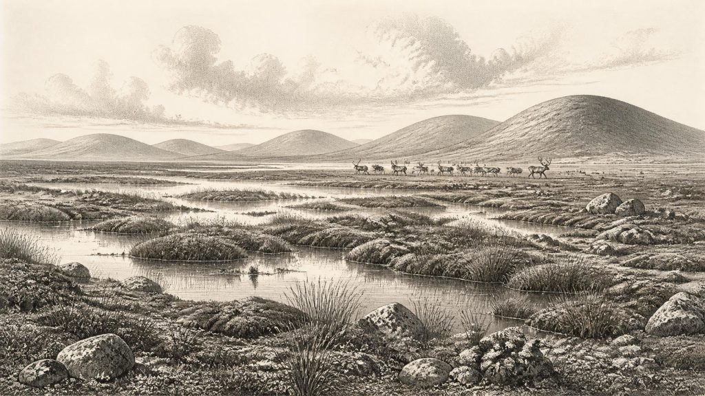
Thirty thousand, six hundred and seventy-seven BCE is a modern chronological label, not a recorded Irish year. At Derryvree, County Fermanagh, freshwater silts, organic deposits and sands lie between two glacial tills, demonstrating an ice-free interval during climatically unstable Marine Isotope Stage 3. Radiocarbon evidence broadly dates these deposits to 36,900–31,700 calibrated years BP. Mosses, sedges, aquatic plants and insects indicate cold, open periglacial wetland. Other records show fluctuating ice, water and fauna, including mammals from Castlepook Cave. A possibly cut-marked reindeer bone suggests human visits, but no settlement is proven. The evidence documents landscape, not society, in Ice-Age Ireland.
Dateline
The label 30,677 BCE is a modern way of locating a point roughly 32,626 years before AD 1950, the reference year conventionally used for “before present” dating. It must not be mistaken for a date recorded by people living in Ireland. No calendar, written account, settlement layer or individual action can be assigned to this particular year. For so remote a period, responsible history works with broad calibrated ranges, depositional sequences and environmental clues. The relevant setting is the Late Pleistocene, within Marine Isotope Stage 3: a long, climatically unstable part of the last Ice Age, before the greatest expansion of the final British–Irish Ice Sheet.
A Date Inside a Range
The most informative Irish evidence close to this notional year comes from Derryvree townland near Maguiresbridge, County Fermanagh. Road-cutting there in 1969 exposed a remarkable sequence through a drumlin. Two thick beds of till—unsorted material laid down by glacier ice—enclosed freshwater silts, fine sands and organic layers. The order of these deposits is secure: ice had crossed the district, an interval then allowed standing or slow-moving fresh water and wet ground to develop, and later glacial deposition buried the evidence beneath another till.
Organic material from the Derryvree freshwater series produced radiocarbon determination BIRM-166, conventionally dated to 30,500 radiocarbon years BP, with a substantial laboratory uncertainty. A radiocarbon measurement is not a calendar date. Because the amount of atmospheric carbon-14 has varied over time, measurements must be calibrated against independently dated records. Published calibrations place Derryvree broadly at about 36,900–31,700 calibrated years BP. The modern label 30,677 BCE falls within that wide span, but it cannot identify a particular season, pool edge, animal herd or human visit. The breadth of the range is not an inconvenience to be wished away; it is part of what the evidence honestly permits.
Fresh Water Between Glaciers
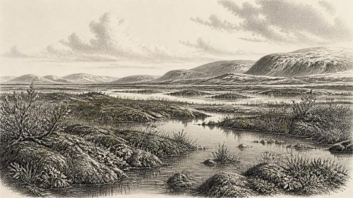
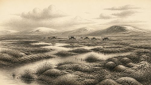
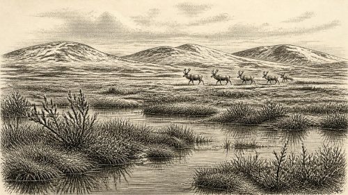
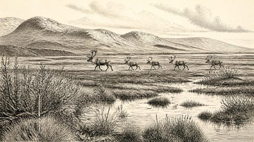
Derryvree is important because it disproves any simple picture of an Ireland locked continuously beneath ice throughout the late Ice Age. Its plant and animal remains indicate a cold, open, largely treeless landscape with local fresh water. Mosses, sedges, grasses and hardy herbs grew around pools and wet ground; aquatic plants, including water-milfoil and bogbean, show that at least some water remained unfrozen for part of the year. Insect evidence, together with the flora, points to severe conditions and a periglacial regime: ground affected by frost, short growing seasons and long winters, rather than a mild woodland landscape.
This was not necessarily a uniform scene across the island. A buried wetland at one Fermanagh locality cannot be inflated into a map of every valley, coast and upland. Yet the sequence gives direct local evidence for an ice-free interval between glacial advances. Related deposits at Greenagho, also in Fermanagh, and the wider cave and marine record reinforce a larger conclusion: ice cover, open terrain and water bodies changed markedly across Ireland during the later Pleistocene. At the scale of a single year, the precise distribution of ice cannot be recovered.
An Island Approaching Major Ice Growth
Modern reconstructions of the last British–Irish Ice Sheet place major growth across Ireland and Britain from roughly 31,000 to 26,000 years BP, with maximum ice volume later, around 23,000 years BP. The requested date precedes that main growth phase in the most recent large-scale reconstruction, although earlier ice had certainly affected parts of Ireland and local advances need not have followed one island-wide timetable. The Derryvree layers themselves preserve that complexity: glacier-laid deposits below and above a freshwater interval.
It would therefore be misleading to say simply that Ireland was either wholly ice-covered or wholly habitable in 30,677 BCE. The more defensible interpretation is of a changing northern Atlantic landscape, in which exposed ground and wetland survived in some places during portions of MIS 3 while ice occupied, advanced across or later reworked other areas. Greenland ice-core chronologies show abrupt stadial and interstadial shifts in the wider North Atlantic climate system. Irish cave deposits from Crag Cave, County Kerry, likewise show that liquid water and cave-calcite growth occurred episodically during MIS 3. These records provide climatic context, but they do not turn a continental signal into a precise local weather report for Derryvree.
Animals in a Fragmentary Record
Farther south, Castlepook Cave near Doneraile in north County Cork provides a different window on Ice-Age Ireland. It is the island’s richest cave assemblage for pre-Last Glacial Maximum vertebrate remains. Its fauna includes reindeer, woolly mammoth, giant deer, brown bear, wolf, Arctic fox, mountain hare, collared lemming and spotted hyaena. Such animals demonstrate that Ireland could, at various points during MIS 3, support or receive a distinctive cold-stage fauna. Reindeer and lemmings accord with open, cold environments; mammoth and giant deer evoke the broader mammoth-steppe world of north-west Europe.
But Castlepook is not a census for 30,677 BCE. Its bones accumulated through more than one process and from deposits whose original contexts were disturbed by early excavation, natural movement within the cave and later contamination. Recent reassessment of radiocarbon dates has shown why older cave chronologies require caution. The cave proves that a varied fauna was present in Ireland during broad intervals before the Last Glacial Maximum; it does not establish that every listed species lived together at the same moment, nor that their distributions were constant.
The Human Question
There is no excavated Irish camp, hearth, house, stone-tool workshop or burial securely dated to around this time. The most provocative object is a reindeer femur from Castlepook reported to bear a deep mark interpreted as having been made by a sharp stone tool on fresh bone. If that reading is correct, it may indicate that a person butchered or otherwise processed a reindeer in Ireland during the broader late-MIS-3 period. It would be an exceptionally early sign of human activity on the island. It does not, however, demonstrate permanent settlement, a population continuity, a named cultural group or a settlement economy.
The distinction matters. Later glaciation destroyed or buried much of the contemporary land surface, while lower sea levels and changing shorelines altered the geography through which animals and any people moved. Absence of a camp is not proof that no one ever entered Ireland; equally, a single modified bone cannot bear the weight of a national origin story. The cautious conclusion is that short-lived human visits remain possible, but that enduring occupation at this date has not been demonstrated.
No Polities, but a Living Landscape
Political affairs, diplomacy, warfare, religion and formal learning leave no identifiable record in Ireland at this depth of time. There are no monuments, graves, artworks, cultivated fields, domestic animals or traded objects from which to reconstruct institutions or beliefs. Nor is there evidence for farming, permanent villages or an economy that can responsibly be called “Irish”. If people were present, they would have depended on close knowledge of seasonal terrain, water, animal movements and shelter, as Upper Palaeolithic hunter-gatherers elsewhere did; that is a general comparison, not evidence for a documented community at Derryvree or Castlepook.
The history illuminated by 30,677 BCE is consequently environmental before it is social. Freshwater silts beneath a Fermanagh drumlin, cave bones in north Cork and records of advancing and retreating ice reveal an island repeatedly remade by climate. Derryvree’s moss-rich deposits preserve the most tangible image: not a kingdom or a village, but cold open ground beside shallow water, briefly supporting wetland plants and small creatures between episodes of glaciation. It is a sparse archive, yet a powerful one—evidence of an Irish landscape whose changes unfolded over millennia, not on the schedule of an annal.
Source References
Hover over a number to see the source. Select it to open the source.

- [1] A Middle Midlandian Freshwater Series at Derryvree, Maguiresbridge, County Fermanagh, Northern Ireland
- [2] Episodic Speleothem Deposition Tracks the Terrestrial Impact of Millennial-Scale Last Glacial Climate Variability in SW Ireland
- [3] A Reconsideration of the Radiocarbon Dating of the Marine Isotope Stage 3 Fauna from Southern Ireland
- [4] The Irish Quaternary Fauna Project
- [5] New Insights on the Fauna of Ireland's Younger Dryas and Early Holocene from Alice & Gwendoline Cave
- [6] Castlepook Cave
- [7] Occurrence of Mammalia Relicts at Site Castlepook Cave
- [8] Growth and Retreat of the Last British–Irish Ice Sheet, 31,000 to 15,000 Years Ago: The BRITICE-CHRONO Reconstruction
- [9] Early Deglaciation of the British-Irish Ice Sheet on the Atlantic Shelf Northwest of Ireland Driven by Glacioisostatic Depression and High Relative Sea Level
- [10] Timing and Pace of Ice-Sheet Withdrawal Across the Marine–Terrestrial Transition West of Ireland During the Last Glaciation
- [11] Stratigraphic and Palaeo-Geomorphological Evidence for the Glacial-Deglacial History of the Last British-Irish Ice Sheet in the North-Western Irish Sea
- [12] Radiocarbon Constraints on the Age of the Maximum Advance of the British–Irish Ice Sheet in the Celtic Sea
- [13] The IntCal20 Northern Hemisphere Radiocarbon Age Calibration Curve (0–55 kcal BP)
- [14] The Greenland Ice Core Chronology 2005, 15–42 ka. Part 1: Constructing the Time Scale
- [15] The Greenland Ice Core Chronology 2005, 15–42 ka. Part 2: Comparison to Other Records
- [16] Geology of Ireland
- [17] Quaternary
- [18] Ireland Through Geological Time
- [19] Prehistoric Details
- [20] 2022:564 – Castlepook Cave, Castlepook South, Cork
Primary Sources
- A Middle Midlandian Freshwater Series at Derryvree, Maguiresbridge, County Fermanagh, Northern Ireland
- Episodic Speleothem Deposition Tracks the Terrestrial Impact of Millennial-Scale Last Glacial Climate Variability in SW Ireland
- A Reconsideration of the Radiocarbon Dating of the Marine Isotope Stage 3 Fauna from Southern Ireland
- The Irish Quaternary Fauna Project
- New Insights on the Fauna of Ireland's Younger Dryas and Early Holocene from Alice & Gwendoline Cave
- Castlepook Cave
- Occurrence of Mammalia Relicts at Site Castlepook Cave
- Growth and Retreat of the Last British–Irish Ice Sheet, 31,000 to 15,000 Years Ago: The BRITICE-CHRONO Reconstruction
- Early Deglaciation of the British-Irish Ice Sheet on the Atlantic Shelf Northwest of Ireland Driven by Glacioisostatic Depression and High Relative Sea Level
- Timing and Pace of Ice-Sheet Withdrawal Across the Marine–Terrestrial Transition West of Ireland During the Last Glaciation
- Stratigraphic and Palaeo-Geomorphological Evidence for the Glacial-Deglacial History of the Last British-Irish Ice Sheet in the North-Western Irish Sea
- Radiocarbon Constraints on the Age of the Maximum Advance of the British–Irish Ice Sheet in the Celtic Sea
- The IntCal20 Northern Hemisphere Radiocarbon Age Calibration Curve (0–55 kcal BP)
- The Greenland Ice Core Chronology 2005, 15–42 ka. Part 1: Constructing the Time Scale
- The Greenland Ice Core Chronology 2005, 15–42 ka. Part 2: Comparison to Other Records
- Geology of Ireland
- Quaternary
- Ireland Through Geological Time
- Prehistoric Details
- 2022:564 – Castlepook Cave, Castlepook South, Cork