Glacial Marsh30672 BCE
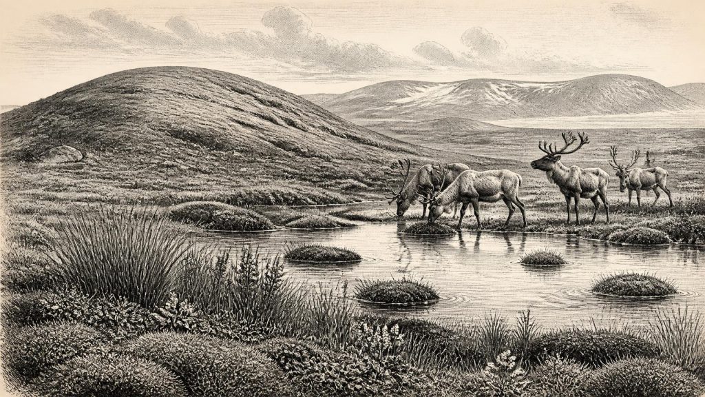
At 30,672 BCE, Ireland cannot be reconstructed as a single dated landscape or society. Derryvree, County Fermanagh, preserves freshwater silts between glacial tills, indicating a locally ice-free wetland during a broad MIS 3 interval, later sealed by renewed ice. Fossils indicate treeless, tundra-like vegetation, shallow water and cold-stage conditions. Cave remains at Castlepook, County Cork, attest to varied fauna, including mammoth, reindeer and hyaena, but not coexisting populations at one time. A possibly tool-marked reindeer bone suggests early human activity, although evidence remains uncertain. Lower seas altered connections, while advancing ice made environments regionally unstable across the island over millennia.
Dateline
30,672 BCE is a modern chronological label, not a recoverable Irish calendar year. No written record, settlement layer or scientific measurement can identify an event in Ireland during that single year. In radiocarbon convention it falls about 32,622 years before AD 1950, within the Late Pleistocene and broadly within Marine Isotope Stage 3 (MIS 3), an unstable portion of the last Ice Age. The responsible way to approach this point is through ranges: sediments at Derryvree, near Maguiresbridge in County Fermanagh, are broadly calibrated to c. 36,900–31,700 years before present, or approximately 34,950–29,750 BCE. The nominated year lies within that wide window, but cannot be tied to an individual season, animal or human action.
A Wetland Between Glaciers
Derryvree is exceptionally important because it preserves an environmental interval between two tills: dense, unsorted deposits laid down by glacier ice. Road works in 1969 cut through a drumlin and revealed freshwater silts and fine sands trapped between the lower and upper till sheets. The sequence is direct physical evidence that local ice had occupied the ground, then ceased to override it long enough for water and organic sediments to accumulate, before a later advance covered the site again. A radiocarbon determination from the organic deposit, Birm-166, was reported as 30,500 radiocarbon years before present, with a substantial error margin. Calibration converts such a result into a broad calendar probability range rather than a precise date.
The deposit has often been termed the Derryvree Cold Phase or a Middle Midlandian freshwater series. Those labels are useful geological shorthand, but they should not suggest a settled, uniform climate across the island. The evidence demonstrates an ice-free freshwater setting at this locality during part of the interval. It does not prove that every coast, valley and upland in Ireland was simultaneously free of ice, nor does it provide a map for 30,672 BCE. Later ice erosion and deposition removed or buried much of the older landscape, leaving a patchy archive. The striking lesson is regional instability: Ireland was being repeatedly remodelled by ice, meltwater, frost and sediment.
Treeless Ground and Shallow Water
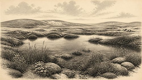
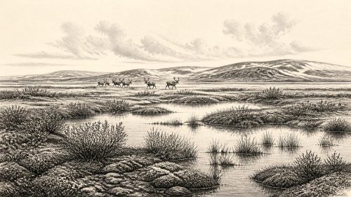
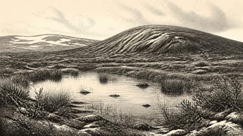
Plant macrofossils, pollen and insect remains from the Fermanagh deposits offer the closest view of everyday ecology. They indicate a largely treeless, cold-stage environment with wet ground and standing or slow-moving freshwater. Sedges, mosses and herbaceous plants, together with taxa associated with cold open habitats, point towards a tundra or muskeg-like mosaic rather than woodland. Aquatic plants show that shallow water persisted locally. Seasonal thaw evidently allowed pools, saturated margins and vegetation to develop, even though the wider climate was severe and the proximity of expanding ice shaped drainage and soils.
This was not the familiar green Ireland of later millennia. There is no evidence for forests, enclosed fields, crops or permanent villages. Wind-exposed mineral ground, marshy hollows, patches of low vegetation and frost-affected sediment would have created a varied but demanding landscape. The term ‘tundra’ is an interpretation based on the fossil assemblage and comparison with cold environments, not a claim that the precise modern Arctic was reproduced in Fermanagh. Atlantic moisture, local relief, snow cover and water conditions could make neighbouring places quite different. Nevertheless, the Derryvree fossils securely show that life survived in a freshwater refuge between glacial episodes.
Animals at Ireland’s Edge
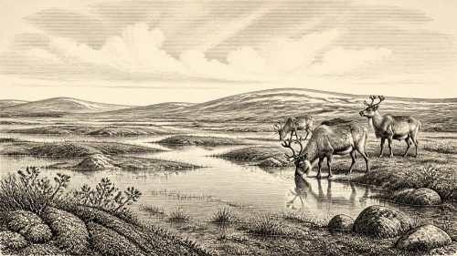
Cave deposits, especially those at Castlepook near Doneraile in north County Cork, add a broader faunal perspective. Reassessment and redating of Irish cave bones have shown that several mammals occupied, or at least reached, parts of Ireland during MIS 3. Castlepook has yielded remains of woolly mammoth, reindeer, giant deer, brown bear, fox, hare and spotted hyaena. Such species are evidence for changing cold-stage animal communities and for ecological links with Britain and continental north-west Europe when sea levels were much lower than today. They do not establish that every species lived together at Castlepook in the same year, still less that each was present in Fermanagh at the date used here.
Predators matter as much as herbivores in interpreting the caves. A cave may serve as a carnivore den, trap, shelter, drainage channel and sediment store across thousands of years. Hyaenas could accumulate bones; water and later excavation could move them; old collections frequently lack modern stratigraphic records. Castlepook therefore gives compelling evidence of Ice Age fauna, while also requiring caution about individual finds. The animal world was dynamic, its distribution responding to vegetation, snow, access routes and the waxing and waning margins of ice.
The Human Question
Political affairs, diplomacy, warfare and formal religion cannot be reconstructed for Ireland at this depth in time. There are no securely dated houses, hearths, tool assemblages, burials, monuments or art panels attributable to 30,672 BCE. Accordingly, there is no basis for naming an Irish people, describing a chiefdom, or imagining routine trade and territorial conflict. The absence of evidence is partly a consequence of later glaciation, which destroyed or concealed many surface deposits, but it remains an absence. Archaeology must not fill it with narratives imported from better-known Upper Palaeolithic regions of Europe.
There is, however, an important and unresolved clue. A reindeer femur from Castlepook has been reported as about 33,000 years old and bears a deep mark interpreted by zooarchaeologist Ruth Carden as damage from a sharp stone tool during carcass processing. If that interpretation is confirmed, it would be powerful evidence that people handled a reindeer in Ireland during the earlier Upper Palaeolithic. It would not demonstrate a permanent population, a camp at the cave, the size of a party, or continuous occupation. The bone derives from an old collection rather than a freshly excavated occupation surface, and its date concerns the animal’s death rather than every action subsequently affecting it. The find is best treated as a significant possibility under active archaeological scrutiny.
Movement Without Proven Routes
Lower global sea levels altered the geography around Ireland, exposing areas now submerged on the continental shelf. This likely changed the distance, terrain and ecological corridors between Ireland, Britain and mainland Europe. Yet it would be unsafe to draw a single land bridge, coastline or travel route for this precise year. Ice sheets, sea level, local basins and shorelines changed over long timescales, while the evidence for human movement is particularly thin. The Castlepook bone may indicate a brief visit or an episode of scavenging or hunting; it cannot establish how any visitors arrived or departed.
For animals, movement was equally contingent. Herds and predators may have followed suitable forage across open landscapes during favourable phases, only to be excluded when ice, deep snow, water barriers or ecological change intervened. The later expansion of the British–Irish Ice Sheet was approaching, although its maximum extent lay thousands of years ahead, broadly in the interval around 26,000–20,000 years ago. Research on the ice sheet continues to refine the timing of local advances and retreats. At 30,672 BCE, the safest picture is neither of a wholly ice-bound island nor a stable habitable plain, but of changing regional environments on the threshold of more extensive glaciation.
What Cannot Yet Be Seen
Society and everyday life remain almost entirely beyond direct observation. If people were present, they may have used perishable clothing, wooden implements, skin shelters and small stone tools, as Upper Palaeolithic communities elsewhere did; but those are analogies, not Irish discoveries. No evidence supports claims for farming, domestic animals, long-distance exchange, ritual institutions, named languages or learned traditions in Ireland at this date. Nor can the Derryvree wetland tell us what people believed. It records plants, water, sediments and climatic change, not speech or ceremony.
That limitation is not a failure of the record. Derryvree offers a rare, vivid archive of survival in an Ice Age landscape: freshwater gathered in a northern hollow; low vegetation occupied wet margins; animals moved through a fluctuating cold-world; glacier ice later returned and sealed the evidence. Castlepook preserves another fragment, a southern cave fauna whose possible modified reindeer bone raises profound questions about the first human arrivals. Around 30,672 BCE, Ireland’s history is therefore environmental before it is political: a history written in tills, silts, fossils and the careful uncertainty of scientific dating.
Source References
Hover over a number to see the source. Select it to open the source.

- [1] A Middle Midlandian Freshwater Series at Derryvree, Maguiresbridge, County Fermanagh, Northern Ireland
- [2] The Subdivision of the Quaternary Period in Ireland
- [3] The Quaternary of South Fermanagh
- [4] Growth and Retreat of the Last British–Irish Ice Sheet, 31,000 to 15,000 Years Ago: The BRITICE-CHRONO Reconstruction
- [5] Late Pleistocene Chronostratigraphy and Ice Sheet Limits, Southern Ireland
- [6] Last Glacial Maximum Cirque Glaciation in Ireland and Implications for Reconstructions of the Irish Ice Sheet
- [7] Dimensions and Chronology of the Last Ice Sheet in Western Ireland
- [8] A Reconsideration of the Radiocarbon Dating of the Marine Isotope Stage 3 Fauna from Southern Ireland
- [9] The Irish Quaternary Fauna Project
- [10] Reindeer Bone Found in Cork Cave Shows Human Activity in Ireland 33,000 Years Ago
- [11] 2022:564 - Castlepook Cave, Castlepook South, Cork
- [12] Archaeology Research Excavation Grant 2022
- [13] Heritage Artefacts of County Cork
- [14] Red Deer in Ireland: A Comparative Study of Cranial Morphology and Mitochondrial DNA
- [15] The IntCal20 Northern Hemisphere Radiocarbon Age Calibration Curve (0–55 cal kBP)
- [16] New Data for the Last Glacial Maximum in Great Britain and Ireland
- [17] Exploring Controls of the Early and Stepped Deglaciation on the Western Margin of the British–Irish Ice Sheet
- [18] The Geological Heritage of County Leitrim
- [19] Irish Quaternary Association Field Guides
- [20] Irish Quaternary Association: Outreach and Education Resources
Primary Sources
- A Middle Midlandian Freshwater Series at Derryvree, Maguiresbridge, County Fermanagh, Northern Ireland
- The Subdivision of the Quaternary Period in Ireland
- The Quaternary of South Fermanagh
- Growth and Retreat of the Last British–Irish Ice Sheet, 31,000 to 15,000 Years Ago: The BRITICE-CHRONO Reconstruction
- Late Pleistocene Chronostratigraphy and Ice Sheet Limits, Southern Ireland
- Last Glacial Maximum Cirque Glaciation in Ireland and Implications for Reconstructions of the Irish Ice Sheet
- Dimensions and Chronology of the Last Ice Sheet in Western Ireland
- A Reconsideration of the Radiocarbon Dating of the Marine Isotope Stage 3 Fauna from Southern Ireland
- The Irish Quaternary Fauna Project
- Reindeer Bone Found in Cork Cave Shows Human Activity in Ireland 33,000 Years Ago
- 2022:564 – Castlepook Cave, Castlepook South, Cork
- Archaeology Research Excavation Grant 2022
- Heritage Artefacts of County Cork
- Red Deer in Ireland: A Comparative Study of Cranial Morphology and Mitochondrial DNA
- The IntCal20 Northern Hemisphere Radiocarbon Age Calibration Curve (0–55 cal kBP)
- New Data for the Last Glacial Maximum in Great Britain and Ireland
- Exploring Controls of the Early and Stepped Deglaciation on the Western Margin of the British–Irish Ice Sheet
- The Geological Heritage of County Leitrim
- Irish Quaternary Association Field Guides
- Irish Quaternary Association: Outreach and Education Resources