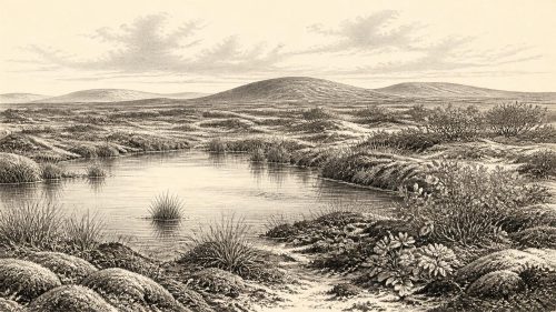
Derryvree’s Pre-Ice Pool30616 BCE
Thirty thousand six hundred and sixteen BCE is not a recoverable Irish historical year but falls within a broad late Pleistocene environmental range. At Derryvree, County Fermanagh, freshwater silts, sands and organic deposits between two tills show an ice-free local interval, radiocarbon-calibrated broadly to 34,950–29,750 BCE. Fossil plants indicate cold, treeless wetlands and tundra-like mosaics. Ireland’s ice, coasts and land connections varied regionally; no precise island-wide reconstruction is possible. Castlepook Cave fauna records cold-stage animals, but not a contemporary community. No secure evidence establishes resident humans, settlement, ritual or exchange. Derryvree instead preserves evidence of freshwater habitats between glacial episodes.
Dateline
The label 30,616 BCE is a modern way of placing a point in deep time, not a year that can be recovered from an Irish record. There were no written annals, named polities, dated monuments or known calendar systems in Ireland at this period. Modern calendar-year precision is therefore unavailable. The responsible history of this notional year is a history of evidence ranges: late Pleistocene sediments, fossil plants and animals, cave deposits, ice-sheet reconstructions and radiocarbon dates calibrated against changing atmospheric carbon levels.
In conventional archaeological terms, this was within the Upper Palaeolithic age elsewhere in Europe and within the Midlandian cold stage in Ireland. In climatic terms it belongs broadly to Marine Isotope Stage 3, an unstable part of the last glacial cycle that preceded the fullest expansion of the Last Glacial Maximum. Ireland was not yet a familiar island of woods, fields and settled communities. Nor can it safely be portrayed as one unbroken sheet of ice. The available evidence instead indicates a changing regional mosaic: advancing and retreating ice, exposed ground, freshwater basins, frost-shaped soils, sparse vegetation and animal habitats whose extent altered over centuries and millennia.
A Date Range, Not an Anniversary
The closest major Irish environmental archive is at Derryvree townland, about two kilometres north-east of Maguiresbridge in County Fermanagh. Roadworks in February and March 1969 cut through a drumlin and revealed an extraordinary sequence: a thick lower till, freshwater silts and fine sands with organic material, then a second thick till. Till is the unsorted clay, stones and debris laid down by glacier ice. The order of deposits supplies a firm relative sequence. Ice had occupied the locality; a period without ice at that particular place allowed water and organic sediments to accumulate; later glacial activity buried and protected the deposit.
The organic horizon produced radiocarbon determination BIRM-166, reported as 30,500 radiocarbon years before present, with a large uncertainty of +1,170 and −1,030 years. “Before present” conventionally means before AD 1950, but radiocarbon years are not calendar years. Carbon-14 concentrations in the atmosphere have varied, so dates must be calibrated using independently dated records. Modern calibration places the Derryvree material within a broad range of roughly 36,900–31,700 calibrated years BP, approximately 34,950–29,750 BCE.
The nominal date 30,616 BCE sits within that large calibrated interval. It cannot, however, be attached to a specific sediment layer, pool, season, herd or human generation. The date is useful only as a point within a long environmental window. Derryvree tells us that a freshwater landscape existed in this part of Fermanagh during an ice-free interval; it does not provide a weather report for every part of Ireland, nor does it prove that the whole island was free of ice at once.
Fresh Water Beneath the Drumlins
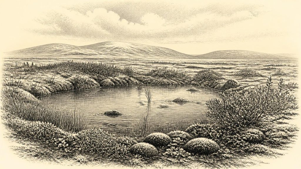
Derryvree is important because late glacial erosion and later ice advances have removed, reworked or concealed so much older Irish ground surface. Here, the later till sealed a deposit that retained evidence of open water and wet ground. Fine silts and sands, mosses, pollen, plant macrofossils and small animal remains preserve fragments of a local ecosystem rather than a human settlement.
The flora indicates cold, open, treeless conditions. Fossil evidence includes plants associated with wet or shallow fresh water, notably bogbean (Menyanthes trifoliata) and alternate water-milfoil (Myriophyllum alterniflorum), alongside mosses and sedges. Remains of mountain-avens (Dryas octopetala), dwarf willow and lesser clubmoss point towards the presence of Arctic-alpine and tundra-like vegetation in the wider landscape. These species should not be used to create a single uniform picture. A shallow pool, its muddy edge, a sheltered hollow, an exposed gravelly slope and frost-disturbed ground could each have sustained different plant communities.
The strongest conclusion is that Derryvree supported a wet, cold and largely treeless mosaic, with plants concentrated wherever water, sediment and a short growing season allowed them to flourish. The terms “tundra” and “periglacial” are helpful shorthand. They mean that severe seasonal cold and frost processes were influential, while the ground at this locality was not permanently covered by flowing glacier ice during the depositional interval. They do not mean that every acre resembled a modern Arctic landscape, or that conditions remained identical throughout the interval.
Ice, Sea and an Uncertain Island
At around this horizon, the British–Irish Ice Sheet was developing within a highly variable North Atlantic climate. The later Last Glacial Maximum, conventionally dated to roughly 26,000–19,000 calibrated years BP, would see much more extensive ice across Ireland. Yet evidence from Derryvree and other northern Irish intertill deposits demonstrates that the preceding Midlandian history was not a simple uninterrupted advance towards maximum glaciation.
What happened in Fermanagh cannot be mechanically extended to Munster, Connacht, Leinster or the Irish Sea basin. Uplands, western coasts, interior lowlands and continental-shelf areas experienced different combinations of ice, meltwater, erosion and sediment deposition. Sea level was much lower than today because vast volumes of water were held in continental ice sheets. Coastlines therefore lay beyond their modern positions in many places. But it would be misleading to draw a precise shoreline, assert a particular land bridge, or claim an easy route into Ireland in 30,616 BCE. Ice margins, river systems, sea level and terrain changed through time, and the relevant coastlines are now largely submerged or altered.
This regional uncertainty matters for every question of movement. There is no evidence for states, borders, diplomacy, warfare or organised political authority in Ireland at this date. There is equally no basis for describing permanent villages, farms, trade networks or seafaring communities. The physical landscape itself was the dominant force shaping what life could have been possible: winter cold, seasonal thaw, the availability of fresh water, the distribution of forage and the changing accessibility of routes across north-west Europe.
Animals of the Cold Landscape
Southern Irish caves provide a separate, though imperfect, window into the broader Pleistocene world. Castlepook Cave, near Doneraile in County Cork, has yielded one of Ireland’s most significant pre-Last Glacial Maximum faunal collections. Its assemblage includes remains attributed to reindeer, woolly mammoth, spotted hyaena, Arctic fox, wolf, hare, lemming and brown bear. These finds demonstrate that Ireland was connected ecologically to the wider cold-stage environments of Britain and continental Europe at different times.
They should nevertheless be used cautiously. Cave deposits commonly accumulate over long periods. Bones can be carried in by water, dragged in by carnivores, disturbed by burrowing animals or displaced by early excavators. A list of species from a cave is not a census from a single meadow, and it cannot prove that all those animals lived together in the same year. Mammoth remains, for example, establish that such animals occurred in the Irish Pleistocene record; they do not show a mammoth standing beside the Derryvree pool in 30,616 BCE.
Reindeer are especially relevant as a plausible component of open, cold-country ecosystems. Their presence, together with predators and scavengers, suggests food webs structured around seasonal movement and patchy forage. Wetlands may have been disproportionately important, supplying water and locally richer vegetation amid sparse open ground. That is an ecological interpretation based on the fossil and plant evidence, not proof of a mapped migration route or a stable animal population.
The Human Question
No securely excavated camp, hearth, stone-tool workshop, house, burial or occupation surface has been dated to this Irish horizon. There is no evidence for a resident human population in 30,616 BCE. This absence is historically important. It means that society and everyday life cannot responsibly be reconstructed as though Ireland had a known Upper Palaeolithic community comparable with those documented in parts of France, Iberia or central Europe.
Castlepook Cave has, however, raised an important possibility. A reindeer femur from older collections has been dated to about 33,000 years ago, and a deep surface mark has been interpreted as potentially resulting from processing with a stone tool. If the chronology and interpretation are confirmed through further research, it may indicate a brief human encounter with an animal carcass in Ireland during the broader period before the Last Glacial Maximum. It would not demonstrate a settlement, regular occupation, a named people or a continuing tradition on the island.
The caution is not mere academic reserve. Old collections often lack the tightly recorded excavation context expected today, while damage caused by carnivores, sediment movement, excavation tools and natural breakage can sometimes resemble human modification. Current work at Castlepook seeks undisturbed deposits, improved dating and decisive evidence such as in-situ stone tools, hearths or securely associated modified bones. Until such evidence is recovered and assessed, early human presence in Ireland at this depth of time remains a serious research question rather than an established chapter of settlement history.
No Known Ritual or Exchange
There is no evidence from Ireland around this date for religion, formal ritual, art, language, teaching institutions, trade goods or long-distance diplomacy. It would be unsafe to infer these from the impressive cave fauna or from the fact that Upper Palaeolithic societies elsewhere made art and maintained extensive social connections. Similarities in climate do not establish similarities in local human occupation.
What can be said is more modest and more revealing. The Derryvree sediments record the ingredients of a viable cold-stage habitat at one Fermanagh locality: fresh water, wetland plants, insects and seasonal biological productivity. Castlepook’s fauna records the wider presence, at varying times, of large herbivores and their predators in Ireland. Together they show an island-region whose opportunities for animal and perhaps occasional human movement were repeatedly reshaped by climate and ice.
Thus 30,616 BCE is not an Irish historical year in the ordinary sense. It is a point within a deep and uncertain interval, illuminated above all by a buried freshwater deposit under a Fermanagh drumlin. Derryvree’s value lies in its restraint: not a lost civilisation, not a dated event, but durable evidence that amid the gathering cold there were pools, plants and open ground between episodes of ice.
Primary Sources
- A Middle Midlandian Freshwater Series at Derryvree, Maguiresbridge, County Fermanagh, Northern Ireland
- Palaeoecology: Irish Quaternary Association Field Guide No. 16
- The Subdivision of the Quaternary Period in Ireland
- The IntCal20 Northern Hemisphere Radiocarbon Age Calibration Curve (0–55 cal kBP)
- IntCal20 Northern Hemisphere Radiocarbon Age Calibration Curve (0–55 cal kBP) PDF
- IntCal: Radiocarbon Calibration Curves
- The Timing and Magnitude of the British–Irish Ice Sheet Between Marine Isotope Stages 5d and 2
- Growth and Retreat of the Last British–Irish Ice Sheet, 31,000 to 15,000 Years Ago: the BRITICE-CHRONO Reconstruction
- New Data for the Last Glacial Maximum in Great Britain and Ireland
- Stratigraphic and Palaeo-Geomorphological Evidence for the Glacial-Deglacial History of the Last British-Irish Ice Sheet in the North-Western Irish Sea
- Maximum Extent and Dynamic Behaviour of the Last British–Irish Ice Sheet West of Ireland
- Trimlines, Blockfields and the Vertical Extent of the Last Ice Sheet in Southern Ireland
- A Geological View of Drumlins in Ireland
- The Irish Quaternary Fauna Project
- New Insights on the Fauna of Ireland’s Younger Dryas and Early Holocene from Alice and Gwendoline Cave, County Clare
- Ireland’s Palaeolithic Archaeology – Fleeting Footprints in a Frozen Land
- Archaeological Heritage of County Cork
- The Mesolithic in Ireland: When Was It?
- Anthropogenic Changes to the Holocene Nitrogen Cycle in Ireland
- Menyanthes trifoliata: Fossil Record in Fermanagh
- Selaginella selaginoides: Fossil Record in Fermanagh
- Dryas octopetala: Fermanagh Occurrence
- Myriophyllum alterniflorum: Fossil Occurrence
- Irish Quaternary Association: Outreach and Education Resources
- Field Guides: Irish Quaternary Association