Membership is completely free, giving members unlimited access to all available resources, services, features, and benefits without any restrictions or fees.
Welcome back. Sign in to continue enjoying unlimited access to all available resources, services, features, and member benefits at no cost.
Organic material from the Derryvree deposit produced the conventional radiocarbon determination BIRM-166: 30,500 radiocarbon years BP, with a large uncertainty of +1,170 and −1,030 years. That is not a calendar age. Atmospheric radiocarbon levels have varied substantially through time, so an old measurement must be calibrated, and its uncertainty remains broad. The original deposit is usually treated as belonging to the later part of Marine Isotope Stage 3, the long, climatically unstable middle phase of the last Ice Age. Modern modelling has used the Derryvree result cautiously as a legacy date, placing its central calendar estimate around 33,500 calibrated years BP, with uncertainty extending over more than a millennium.
Derryvree is therefore a window, not a complete map of Ireland. Its freshwater deposits demonstrate that the Fermanagh locality was not under glacier ice for part of this period. They do not prove that every coast, upland, valley and limestone cave across the island was similarly ice-free at the same moment. The survival of a wetland between two tills is itself a warning against simple descriptions of an all-white or all-green Ireland. Ice margins could advance, stagnate, retreat and re-form; lowland basins could collect water while nearby high ground or distant regions experienced very different conditions.
Derryvree is important precisely because it preserves an interval of living ground between episodes of glaciation. In 1969, roadworks cut through a drumlin and exposed organic silts and fine sands lying between two substantial sheets of till: sediment laid down directly by ice. The sequence establishes a clear relative history. An earlier glacier had occupied the locality; later, an ice-free freshwater environment formed there; eventually, ice returned and buried that environment beneath a further till sheet. The thin organic horizon is therefore a rare survival from a landscape that later glacial action largely removed, reworked or sealed.
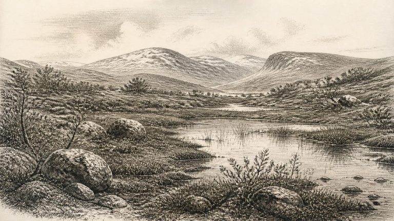
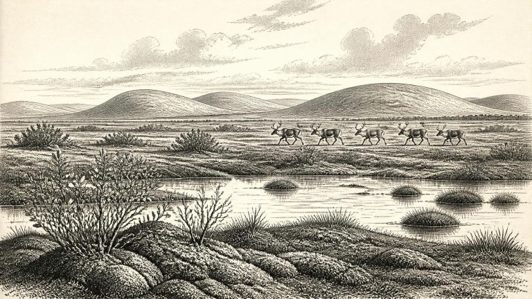
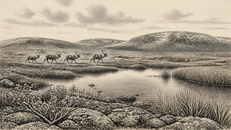
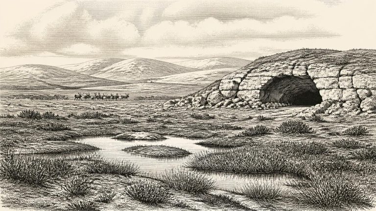
This was the Late Pleistocene, within Marine Isotope Stage 3 and the Irish sequence traditionally called the Midlandian cold stage. It was not yet the fullest extent of the Last Glacial Maximum, conventionally placed later, around 26,000–19,000 years ago. Nevertheless, the growth, retreat and reorganisation of ice across Ireland and the surrounding seas had already made the land a highly unstable environmental frontier. Ice did not advance evenly across every district at the same moment. Open ground, periglacial terrain, local wetlands and glacier-fed sedimentary basins could exist in some places while other areas were affected by ice or lay close to its margins.
Radiocarbon dating does not simply convert into a BCE year. The Derryvree organic material produced determination BIRM-166, conventionally reported as 30,500 radiocarbon years before present, with a substantial error range of +1,170 and −1,030 years. “Before present” means before AD 1950, and radiocarbon years differ from calendar years because atmospheric carbon-14 has varied through time. The internationally used IntCal20 curve permits calibration back to 55,000 calendar years before present, but it produces probability ranges, not a single exact year. A later review gives Derryvree an indicative age around 35.9 ± 1.1 thousand calibrated years before present. Thus the deposit is an essential guide to the wider cold-stage world, but probably predates the numbered year in this article by several millennia.
The most illuminating Irish evidence is the Derryvree sequence near Maguiresbridge, County Fermanagh. Roadworks in 1969 exposed a section through a drumlin: beneath a thick upper layer of glacial till lay organic freshwater silts and fine sands, and beneath those lay another till. The order matters. Till is debris laid down by glacier ice; the organic beds between the two tills accumulated during a period when the site was not overridden by ice and shallow freshwater conditions existed.
The closest major Irish environmental archive is Derryvree, near Maguiresbridge in County Fermanagh. Roadworks exposed freshwater silts, sands and organic deposits between two thick layers of till, the stony sediment laid down by glacier ice. The sequence records a local order of events: ice deposited the lower till; an interval followed in which water and vegetation accumulated sediment; and later ice sealed the deposits beneath another till. Organic material from the freshwater horizon produced the radiocarbon determination BIRM-166, conventionally reported as 30,500 ± about 1,100 radiocarbon years BP.
Ireland at this time was not a familiar island of woods, farms and coasts. Sea level was far lower than today because immense quantities of water were locked in continental ice sheets. The Irish Sea and adjacent shelves were correspondingly altered landscapes, while routes between Ireland, Britain and mainland Europe changed repeatedly as water, ice and exposed ground shifted. It would be unsafe to imagine a single permanent land bridge, or a straightforward route that people and animals could use at will. The physical geography of the north-west European margin was dynamic, and local access could be obstructed by sea ice, glacier margins, rivers, wetlands and barren terrain.
Radiocarbon dating is especially important, but its limits matter. Laboratories report radiocarbon years before present, where “present” is defined as AD 1950; these are not identical to calendar years. They must be calibrated against independently dated environmental records, and the resulting probability ranges can be wide at this depth of time. Modern calibration curves extend to this period, but they do not turn a sample into evidence for a particular spring, winter or human generation.
In 1969, roadworks cut through a drumlin at Derryvree and exposed an exceptional sequence. Beneath an upper layer of glacial till and above an older till were fine sands, silts and organic muds laid down in freshwater. The order of the deposits is crucial. Ice had first affected the locality; an interval then allowed open water, wetland vegetation and sediment to accumulate; finally, a renewed ice advance covered the deposit with more till. This stratigraphy is firmer evidence than any attempt to turn a radiocarbon result into an exact calendar date.
The number 30,482 BCE should therefore not be read as a date on which a named event occurred. It is a modern conversion of a point deep in prehistory, and the scientific evidence comes with margins of error, differing dating methods and complex depositional histories. The key Derryvree measurement, BIRM-166, was obtained from organic material in moss-rich mud and gave a conventional radiocarbon age of 30,500 years before present, with a substantial uncertainty. Calibration against changing atmospheric radiocarbon levels places the deposit in a much broader calendar-age interval. The target year falls within that interval, but neither begins nor ends it.
The most informative Irish environmental record close to this notional date is the Middle Midlandian freshwater sequence at Derryvree. Road works in 1969 cut through a drumlin about two kilometres north-east of Maguiresbridge and exposed silts, fine sands and organic material enclosed between two distinct tills: sediments deposited directly by glacial ice. The sequence gives an unusually clear order of events. Ice had affected the locality; a freshwater and wet-ground environment subsequently existed long enough for sediment and biological remains to accumulate; then later glaciation covered and preserved the deposit beneath another till.
The notional date falls about 32,481 years before AD 1950, the conventional “present” used in radiocarbon dating. That arithmetic does not make it a recoverable historical moment. A radiocarbon measurement is not a calendar date because atmospheric carbon-14 levels have varied over time. Results must be calibrated against independent records, and uncertainty increases markedly so far back in time. IntCal20, the principal Northern Hemisphere calibration curve, reaches to 55,000 calendar years before present, but its purpose is to provide probability ranges rather than false annual precision.
Modern calendar notation can create a misleading impression of precision. A bone dated by radiocarbon is not a timestamp for a historical occurrence: it may date when the animal died, while the sediment enclosing it may have been moved later. Calibration converts radiocarbon measurements into calendar-age probability ranges, rather than a single incontrovertible year. At more than 30,000 years ago, the calibration curve itself is built from several kinds of scientific archive and carries wider uncertainty than recent chronology.
Derryvree’s stratigraphy supplies the firmest conclusion. Ice had reached this part of Fermanagh and left a lower till. Afterwards, fine sands, silts and organic mud accumulated in freshwater and wet ground. Later ice again crossed or affected the locality, leaving the upper till that sealed the older wetland. This is powerful evidence for a non-glacial interval at Derryvree. It is not evidence that every region of Ireland was ice-free at the same time, nor that the island’s changing ice margins followed one simple advance-and-retreat sequence.
Around this notional date, Ireland belonged to Marine Isotope Stage 3, a cold and highly variable part of the last glacial cycle. Older Irish terminology places relevant deposits in the Middle Midlandian, while wider British and European scholarship more often uses Marine Isotope Stage terminology. Neither label means that conditions were uniform across the island. Temperatures, precipitation, sea level, vegetation and the extent of glacier ice altered repeatedly over centuries and millennia. A locality might be ice-free while another lay beneath, beside or downstream from ice.
Ireland was then part of the north-western fringe of Europe, exposed to rapid climatic shifts and to the growth and movement of the British–Irish Ice Sheet. The familiar coastline, woods, fields, bogs and settlements of later Ireland did not exist. Sea level was far lower than it is now because immense quantities of water were held in continental ice sheets. The extent of dry land, marine channels, seasonal sea ice and glacier margins changed through time, so it is unsafe to imagine a fixed modern island or a single permanent route into it. What is clear is that Ireland’s geography was environmentally connected to Britain and the wider European north-west in ways later seas would greatly reduce.
The period belongs to Marine Isotope Stage 3 (MIS 3), a long and climatically unstable part of the last Ice Age, conventionally spanning roughly 57,000–29,000 years ago. North Atlantic climate did not simply become steadily colder. Greenland ice-core records identify abrupt alternations between relatively milder interstadials and colder stadials; correlation between those distant records and Irish deposits is useful, but never exact. Around the numerical date represented here, Ireland stood close to a poorly resolved climatic and glacial transition. One broad synthesis describes the island as ice-free until about 32,000 calibrated years before present, while other research indicates that an Irish ice sheet had affected parts of the western margin before the Last Glacial Maximum. These statements are not necessarily contradictory: they reflect a fragmented record, changing regional ice margins and different meanings of “ice-free”.
Ireland lay on Europe’s far north-western edge during a period of sharp climatic instability. The great Last Glacial Maximum, when the Irish Ice Sheet expanded across much of the island and onto the continental shelf, belongs mainly to the later interval of about 26,500–19,000 calibrated years BP. Around the notional date used here, its growth lay ahead rather than behind. That does not mean a mild or uniform Ireland. Conditions could be severe, with long winters, short growing seasons, frost-shattered ground and a vegetation cover unlike the modern green island.
The closest important Irish environmental sequence is at Derryvree, near Maguiresbridge in County Fermanagh. Road works exposed fine sands and organic freshwater silts trapped between two tills: stony sediments left by glaciers. A radiocarbon determination from the organic deposits of c. 30,500 ± 1,100 radiocarbon years BP was historically calibrated to a wide interval of roughly 36,900–31,700 calendar years BP. That range encompasses the modern label 30,944 BCE, but does not date the entire deposit, still less an event in a particular year. Calibration itself has improved since the original research; IntCal20 confirms that radiocarbon ages must be converted through a curve and retain substantial uncertainty at this antiquity. Derryvree is consequently a securely valuable window on a broad cold-stage environment, not a diary of a single Irish year.
It is tempting to turn an ancient date into a conventional historical entry: to ask who ruled, where people lived, or whether a conflict occurred. None of those questions can be answered for Ireland at this point. There is no evidence for states, chiefs, diplomatic relations, permanent settlements, social ranks or named peoples. Nor is there a securely excavated dwelling, hearth, tool-making floor or burial that can be assigned to this modern calendar year. The absence is meaningful: later glaciation, erosion, changing shorelines and the very small scale of any possible human presence have left an exceptionally fragmentary record.
Ireland was not yet at the fullest extent of the last ice age. The Last Glacial Maximum developed later, broadly during the period after about 27,000 years ago, although the precise growth, thickness and margins of the Irish sector of the British–Irish Ice Sheet remain subjects of active research. Ice did not behave as a single, unchanging blanket: advances and retreats differed between regions, and evidence for its exact position at any one pre-maximum moment is limited. It would therefore be misleading to colour all of Ireland as either certainly frozen or certainly open country in 30,981 BCE.
Modern calendar-year precision is unavailable for 31,018 BCE. The date lies close to 33,000 years before present in simple numerical terms, but neither a radiocarbon determination nor an environmental sequence can identify what happened in a particular calendar year. A dated bone records, at best, when an animal died within a probability range; it does not automatically date a human action, a cave visit, or a settlement. Equally, a buried bed of plant-rich silt may represent years or centuries of deposition rather than a single episode.
In calibrated terms, 31,021 BCE lies roughly 33,000 years before the conventional radiocarbon reference year of 1950. It falls within Marine Isotope Stage 3 (MIS 3), a long interval of the last ice age extending broadly from about 59,000 to 28,000 years ago. MIS 3 was not uniformly frozen or uniformly mild. Greenland ice cores and North Atlantic records show repeated shifts between colder stadials and relatively less severe interstadials, sometimes on a millennial scale. Conditions in Ireland changed accordingly, and no single description can safely be applied to every region or every century.
31,025 BCE is a useful modern label, not a date at which Ireland can be described year by year. No calendar, written account, named community or securely dated occupation surface allows events to be fixed to this particular year. The responsible frame is the later part of Marine Isotope Stage 3, an unstable phase of the last Ice Age, before the Last Glacial Maximum. For this deep period, radiocarbon measurements must be calibrated into broad probability ranges, and those ranges can span centuries or millennia. The evidence therefore illuminates an interval around the date, rather than an anniversary within it.
The most important Irish environmental sequence relevant to this period was exposed during road works in 1969 at Derryvree, near Maguiresbridge in County Fermanagh. The cutting passed through a drumlin and revealed silts and fine sands, including organic layers, trapped between two separate tills: unsorted sediments deposited by glacier ice. The stratigraphy is clear in its relative order. Ice had formed the lower till; an interval without ice at the locality allowed freshwater sediment and plant remains to accumulate; then a later ice advance laid down the upper till and sealed the earlier wetland.
This was long before the Last Glacial Maximum, when the island was more extensively covered by ice and the ice sheet reached its greatest volume around 23,000 years ago. Yet it was not a benign pre-glacial countryside. Ice sheets and local glaciers had repeatedly altered the Irish landscape during earlier cold stages; permafrost, seasonal freezing, powerful meltwater and sparse vegetation were important agents of change. Recent reconstructions of the British–Irish Ice Sheet begin their detailed sequence at about 31,000 years before present, but they also emphasise that advance was uneven. Conditions at any one Irish locality depended on altitude, distance from the Atlantic, changing snowfall and whether ice margins lay nearby.
Ireland was then part of the wider north-west European world of Marine Isotope Stage 3, a long and climatically volatile portion of the last glacial cycle. The term “Midlandian” is often used for Ireland’s last cold stage. It should not conjure a simple image of an island permanently smothered in ice. Ice margins advanced and retreated over very long timescales; landscapes that were ice-covered in one phase could be open, frozen, waterlogged or sparsely vegetated in another. Around the notional date used here, the great late-glacial ice-sheet maximum still lay ahead. Reviews of the British–Irish Ice Sheet place its principal build-up after about 35,000–32,000 years ago and its maximum extent broadly between about 27,000 and 21,000 years ago.
This was part of Marine Isotope Stage 3, a long and unstable phase of the last Ice Age. The Irish landscape was not simply an island buried beneath permanent ice. Climate repeatedly swung between severe cold and comparatively milder interludes, while glaciers grew, shrank and altered their routes. Terms such as “Derryvree Cold Phase” are useful archaeological shorthand, but they should not suggest a neatly bounded historical era. They describe a set of deposits and environmental conditions whose beginnings and endings remain uncertain.
The date falls during the Midlandian, Ireland’s last major glacial stage. This was not a uniformly frozen era. Ice sheets advanced and retreated over long intervals, while local conditions changed with temperature, snowfall, sea level and the behaviour of glaciers. Research synthesising Irish evidence suggests that the island was still largely ice-free until about 32,000 calibrated years before present, before the ice sheet expanded towards its maximum extent. Thus 31,087 BCE should be imagined as close to a major environmental turning point, not as a time when the whole island can automatically be pictured beneath a single unbroken mass of ice.