Maguirebridge’s Open Mossland30399 BCE
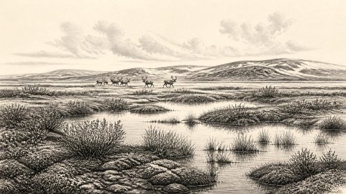
Around 30,399 BCE, Ireland’s evidence records a broad Late Pleistocene interval, not a precisely dated event. At Derryvree near Maguiresbridge, freshwater sediments between glacial tills indicate locally ice-free, harsh wetlands during the Derryvree Cold Phase. Fossils reveal sedges, grasses, mosses, aquatic plants and sparse tundra shrubs in a treeless landscape. Cave finds elsewhere show cold-adapted fauna, including mammoth, reindeer, giant deer, predators and smaller animals. A cut-marked reindeer bone from Castlepook may suggest human activity, but lacks secure contextual proof. No evidence establishes settlements, farming, polities or culture. Later ice advances buried this environmental archive, preceding the Last Glacial Maximum.
Dateline
Modern calendar-year precision is not available for Ireland in 30,399 BCE. This number is best treated as a convenient point within a much wider Late Pleistocene interval, rather than as a year in which a recoverable Irish event occurred. There were no written records, named communities or dated political acts. The evidence consists of buried sediments, fossil plants and insects, animal bones, glacial deposits and radiocarbon measurements. These can show what kinds of environments existed and what animals used them; they cannot provide an annal of a particular winter, hunt or household.
A Date Within a Wide Range
The closest important Irish environmental archive is at Derryvree, near Maguiresbridge in County Fermanagh. Road works in 1969 cut through a drumlin and exposed freshwater silts and fine sands trapped between two substantial layers of glacial till. Organic material from the deposit produced the radiocarbon determination Birm-166: 30,500 radiocarbon years before present, with a large uncertainty of +1,170 and −1,030 years. “Present” in radiocarbon convention is AD 1950, not today. Once calibrated against changing atmospheric carbon levels, that measurement corresponds to a broad calendar-age range, conventionally placed roughly between 36,900 and 31,700 calibrated years before present. The date 30,399 BCE, about 32,349 years before AD 1950, falls towards the younger end of that broad window, but cannot be matched to one layer, season or generation.
This distinction matters. Radiocarbon is not a clock with a single hand: at this depth in time, calibration ranges are often wide, and deposits may represent years or centuries of accumulation. Derryvree therefore illuminates an interval around the requested date, not the exact conditions across all Ireland in 30,399 BCE. It also records one lowland locality. A buried Fermanagh hollow cannot stand for every coast, upland, valley and exposed western headland.
Fresh Water Between Ice Advances
What Derryvree does establish is striking. At some point before the upper till was laid down, the site was not under overriding glacier ice. Fine sediment settled in fresh water or very slow-moving water. Its organic content preserves a local wetland community. Later ice advance buried and protected this evidence beneath the drumlin. The sequence is consequently a reminder that the last glacial cycle was not a single, unchanging blanket of ice. Ice margins advanced, retreated or altered in thickness; locally ice-free terrain, frost-shattered ground, pools and marshes could exist within a generally severe northern climate.
Researchers use the term Derryvree Cold Phase for this portion of Ireland’s Midlandian glaciation. It belongs broadly within Marine Isotope Stage 3, the long and climatically unstable part of the last glacial period before the Last Glacial Maximum. “Cold phase” is preferable to imagining an interstadial of modern mildness. The fossil evidence points to a harsh, open and treeless landscape. It does not support a picture of woodland, permanent green pasture or the settled island familiar from later prehistory.
Pools, Sedges and Low Shrubs
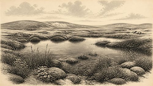
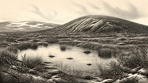
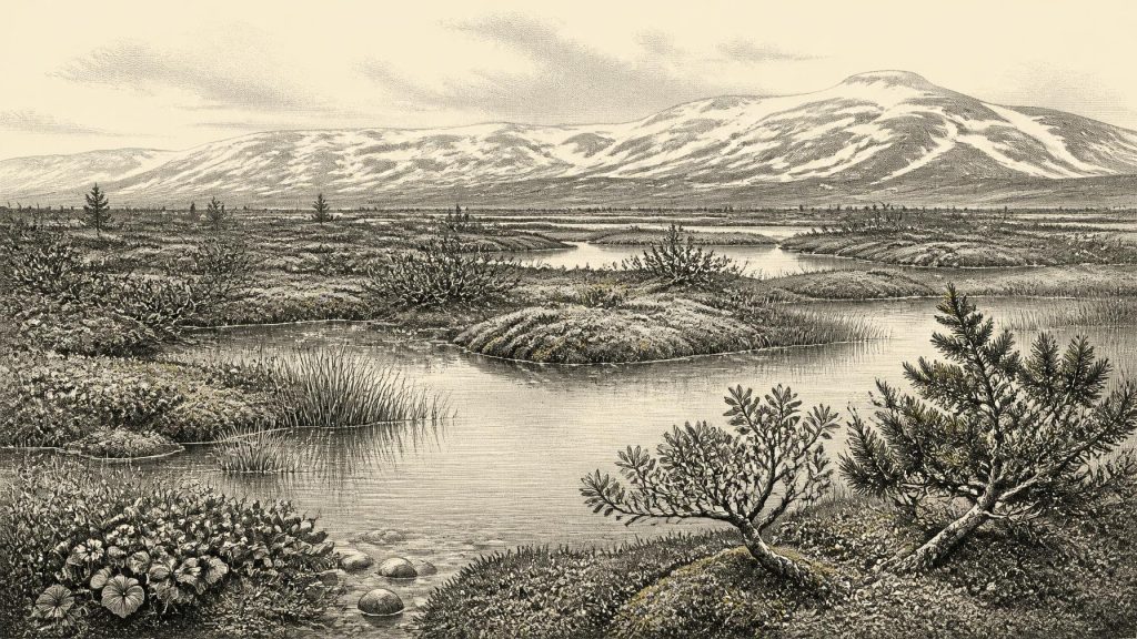
The Derryvree plant assemblage gives the clearest impression of everyday surroundings. Grasses and sedges were prominent, alongside herbs, juniper and an extensive moss flora. Plant macrofossils include bogbean, mountain avens and water-milfoil; dwarf willow is also represented in the wider interpretation of the deposit. Bogbean and water-milfoil indicate freshwater habitat, while mosses, sedges and grasses suggest damp margins, shallow pools and wet, peaty ground. Mountain avens and dwarf willow evoke exposed, cold-tolerant vegetation rather than forest.
This was a mosaic, not a uniform white desert. In the brief productive season, sheltered wet ground could sustain aquatic plants and mosses; nearby raised or better-drained ground could carry sparse tundra vegetation. Frost, seasonal thaw, wind and low temperatures would have structured the landscape. The insect evidence from Derryvree also supports a muskeg-like setting with plant-rich open pools ringed by mosses. Yet it would be unsafe to convert that description into a modern climate forecast. Fossil assemblages reveal ecological affinities, not a daily thermometer reading. Nor do they prove that every district of Ireland had identical vegetation.
Animals in a Changing Country
Cave bone assemblages provide the other major line of evidence. At Castlepook Cave near Doneraile, County Cork, antiquarian excavations recovered remains from a rich Pleistocene fauna, including woolly mammoth, reindeer, giant deer, brown bear, wolf, Arctic fox, hare, lemmings and spotted hyaena. Direct dates and the precise histories of individual bones have been re-examined as laboratory methods improve, so older published chronologies must be used with care. Nevertheless, the broader record demonstrates that Ireland could be entered by, and could sustain at least seasonally, a distinctive cold-stage animal community before the Last Glacial Maximum.
These animals should not be assembled into an imagined scene at Maguiresbridge on one particular day. Cave deposits are accumulated records, often altered by carnivores, water movement and nineteenth- or early twentieth-century excavation practices. A hyaena den tells a different story from a lakeside silt bed. Together, however, the evidence makes an important point: the Ireland of this period contained resources and hazards. Reindeer and giant deer were potential large herbivores; wolves and hyaenas were competitors and scavengers; mammoth remains show that very large grazing animals reached parts of the island during the wider late-glacial cycle.
The Human Question
The most consequential possible human evidence for this remote era is also from Castlepook. A reindeer femur in the historic collections has been reported by zooarchaeologist Ruth Carden as bearing a deep incision consistent with a sharp stone tool used during carcass processing. Public accounts have placed the bone broadly around 33,000 years old. If the mark is demonstrably anthropogenic and belongs to the bone’s original late-Pleistocene context, it would indicate that people handled a reindeer in Ireland long before the island’s well-established post-glacial settlement record.
That conditional wording is essential. Castlepook has not yielded a securely dated occupation surface of this age with a hearth, stone-tool assemblage, shelter, burial or human remains. The femur was recovered in historic excavation, not from a newly excavated, sealed activity floor. Its date concerns the animal’s death, not necessarily the instant at which a mark was made. Current research has therefore treated Castlepook as a compelling lead for an Irish Upper Palaeolithic, rather than proof of a permanent population or a particular cultural group in 30,399 BCE.
No Polities, No Diplomacy
There is no evidence for political institutions, territorial rulers, warfare, diplomacy or formal religion in Ireland at this date. Nor can archaeology identify language, kinship rules, law, artistic traditions or beliefs from Derryvree’s silts. The appropriate historical conclusion is not that such things certainly did not exist among any visitors, but that the Irish evidence does not reveal them. Importing the richly documented cave art, graves or lithic industries of France, Iberia or central Europe into Ireland would be analogy, not evidence.
Similarly, society and economy cannot responsibly be described as though there were known Irish camps. If people briefly reached the island, they may have moved in small mobile groups and might have used animal carcasses, hides, bone, antler and stone. That is an inference from Upper Palaeolithic lifeways elsewhere, not an excavated Irish household economy. No known site of this age in Ireland demonstrates farming, herding, pottery, trade routes, permanent villages or exchange partnerships. Any crossing from Britain or continental Europe would have depended on changing ice, sea level, terrain and weather; lower sea levels altered regional geography, but do not license an assumption of an easy, permanent land bridge.
Approaching a Larger Freeze
In the longer view, this interval preceded the Last Glacial Maximum, when the British–Irish Ice Sheet expanded over most or all of Ireland and far onto the surrounding shelf. The upper till at Derryvree is physical evidence that ice later returned over the freshwater landscape. Such advances transformed or erased many older soils and occupation surfaces, one reason why the early Irish archaeological record is so fragmentary. The survival of a small organic layer between tills is therefore unusually valuable: it preserves a fleeting environmental chapter that most subsequent glacial action removed.
Ireland around this approximate date was neither an empty abstraction nor a familiar human landscape. The defensible picture is of regional instability: a cold, open country with locally ice-free wetland basins, short seasons of biological productivity and animals adapted to northern conditions. Derryvree supplies direct evidence for pools, mosses, sedges and tundra plants. Castlepook supplies a wider, cautionary record of Ice Age fauna and a debated hint of human action. Beyond that, the historical record properly falls silent.
Primary Sources
- A Middle Midlandian Freshwater Series at Derryvree, Maguiresbridge, County Fermanagh, Northern Ireland
- Landscapes and Environments of the Last Glacial-Interglacial Transition: A Time of Amazingly Rapid Change in Ireland
- The Irish Quaternary Fauna Project
- Pleistocene Glaciations in Ireland
- The Subdivision of the Quaternary Period in Ireland
- References and Recommended Reading
- Middle Midlandian Interstadial Deposits at Greenagho, Near Belcoo, County Fermanagh, Northern Ireland
- The IntCal20 Northern Hemisphere Radiocarbon Age Calibration Curve (0–55 kcal BP)
- IntCal Publications
- A Stratigraphic Framework for Abrupt Climatic Changes During the Last Glacial Period Based on Three Synchronized Greenland Ice-Core Records: Refining and Extending the INTIMATE Event Stratigraphy
- A Stratigraphic Framework for Abrupt Climatic Changes During the Last Glacial Period Based on Three Synchronized Greenland Ice-Core Records: Refining and Extending the INTIMATE Event Stratigraphy
- Archaeology Research Excavation Grant 2022: Final Report
- Heritage Artefacts of County Cork 2021
- New Insights on the Fauna of Ireland's Younger Dryas and Early Holocene from Alice & Gwendoline Cave
- New Insights on the Fauna of Ireland's Younger Dryas and Early Holocene from Alice & Gwendoline Cave
- Radiocarbon Constraints on the Age of the Maximum Advance of the British–Irish Ice Sheet in the Celtic Sea
- Quaternary Geomorphology 50K Ireland Map Service
- Soils of Co. Waterford
- Menyanthes trifoliata L.
- Dryas octopetala L.
- Proceedings: Postglacial Colonisation Conference