Treeless Tundra31836 BCE
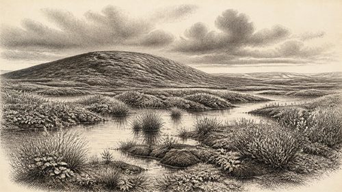
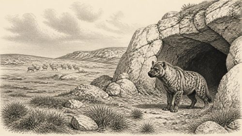
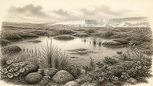
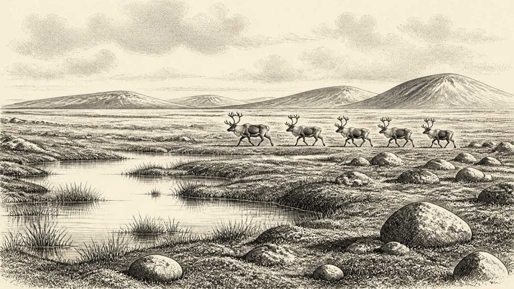
Around 31,836 BCE, Ireland lay in the later Marine Isotope Stage 3, before the Last Glacial Maximum, but evidence cannot describe a precise year or society. Derryvree, County Fermanagh, preserves silts dated broadly to 36,900–31,700 calibrated years BP, showing cold, treeless, wet tundra with hardy plants and seasonal periglacial conditions. Castlepook Cave, County Cork, records diverse fauna, including mammoth and reindeer, although species did not necessarily coexist. A possibly cut-marked reindeer bone may indicate brief human activity, but no settlement is proven. Lower seas enabled changing connections with Britain and Europe before advancing ice erased much evidence from this period.
Dateline
A Date Beyond Calendar Precision
The label 31,836 BCE gives a useful position on a modern timeline, but it cannot identify an event in Ireland during a particular year, season or generation. There are no written records, settlements, graves or securely dated occupation surfaces from which such precision could be claimed. In conventional “before present” notation, where present means 1950, the calendar arithmetic places this notional year at about 33,785 years BP. That is not itself a laboratory age. Radiocarbon measurements carry statistical uncertainty and must be calibrated against changing atmospheric carbon-14 levels; at this depth of time, their calendar ranges can span centuries or millennia.
The responsible setting is the later part of Marine Isotope Stage 3, within the Midlandian cold stage of Irish Quaternary history. Ireland was approaching, but had not yet reached, the Last Glacial Maximum, when the British-Irish Ice Sheet expanded dramatically between roughly 27,000 and 23,000 calibrated years BP. The evidence does not permit a single national weather report for 31,836 BCE. It does, however, reveal a cold, highly seasonal and environmentally varied Ireland in which some land was ice-free, large mammals moved through open country, and the next great advance of ice had not yet erased much of that world.
Silts Beneath a Drumlin
The closest dated environmental archive is at Derryvree near Maguiresbridge in County Fermanagh. Road works in 1969 cut through a drumlin and exposed freshwater silts and fine sands trapped between two separate tills: deposits left by ice before and after the sediments accumulated. The organic layer yielded a conventional radiocarbon determination of 30,500 years BP, with a substantial uncertainty. Later calibration places it broadly around 36,900–31,700 calibrated years BP. The notional year 31,836 BCE therefore falls near the younger end of that wide bracket, rather than at a point that can be singled out within it.
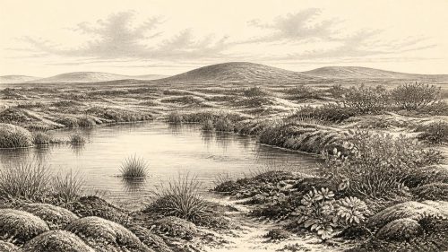
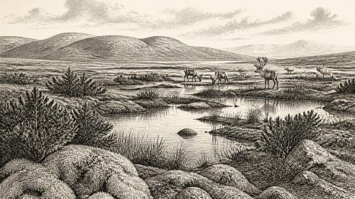
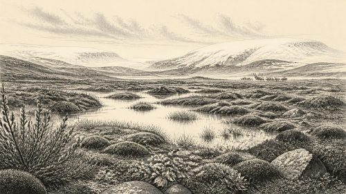
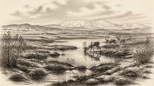
Derryvree is important because its pollen, plant macrofossils and insect remains record an actual local environment rather than merely an inferred climate. The assemblage indicates treeless tundra or muskeg: wet, mossy ground around shallow freshwater, with sedges and other hardy herbs, and sparse vegetation on drier surfaces. A few pollen grains from trees such as pine and hazel occur, but these may have been reworked from older deposits rather than proving nearby woodland. The stronger conclusion is that south Fermanagh was open, cold and periglacial. Winter freezing, thawing, poorly developed soils and seasonal meltwater mattered more to the shape of daily landscapes than any forest canopy.
This was not a featureless snow desert. Mosses, wetland plants and herb-rich patches could support invertebrates and grazing animals during favourable seasons. Yet the evidence also warns against an idyllic reconstruction. Vegetation was probably discontinuous, exposed ground was extensive, and conditions could change sharply over short distances according to drainage, aspect and shelter. The buried Derryvree sediments survive precisely because later ice and sediment sealed them; much comparable evidence elsewhere was scoured away by subsequent glaciation.
Castlepook and the Animal World
Over 300 kilometres to the south-west, Castlepook Cave near Doneraile in north County Cork supplies Ireland’s richest and most discussed pre-Last Glacial Maximum animal archive. Its nineteenth- and early twentieth-century excavations recovered a remarkable mixture of bones and teeth, including mammoth, reindeer, giant deer, brown bear, wolf, mountain hare, Arctic fox, lemmings and spotted hyena. The list conveys a world unlike modern Ireland, but it must not be converted into a single scene. Caves accumulate remains over long periods; animals may die in them, drag prey into them, den there, or have their bones moved by water, sediment and later excavators.
Modern redating has made that caution especially necessary. Improved collagen pretreatment showed that several earlier determinations on southern Irish cave fauna had produced ages that were too young, sometimes by thousands of radiocarbon years. The revised results strengthen the case for a diverse Irish MIS 3 fauna, while also suggesting that some animals once assumed to overlap may not have done so. In particular, giant deer and spotted hyena may have disappeared locally before about 40,000 calibrated years BP. They are therefore part of the longer pre-glacial record, not animals that can securely be placed together at 31,836 BCE.
Reindeer are more directly relevant. A Castlepook reindeer femur has been publicly reported as about 33,000 years old and to bear a deep incision interpreted as a cut made with a sharp stone tool on fresh bone. If that interpretation is upheld, it would be exceptionally early evidence that people handled or butchered a reindeer in Ireland. Its importance is obvious: it would shift the island’s known human story far beyond the better-supported terminal Pleistocene evidence from County Clare.
But the claim has limits. The bone came from a historically excavated cave collection, not from a newly excavated, intact camp floor. A radiocarbon date measures the death of the animal, not the precise instant at which any mark was made. Identifying a line on bone as a tool cut rather than carnivore damage, breakage or later abrasion is a separate specialist judgement. No securely associated hearth, stone-tool assemblage, dwelling, burial or repeated occupation horizon of this age has yet been demonstrated at Castlepook. The find may signal a brief visit or carcass-processing episode; it does not establish a permanent population, a named people, continuity with later inhabitants, or an Irish hunting society.
People, Power and Belief: What Cannot Be Seen
For this period, conventional headings such as politics, diplomacy, warfare, religion and learning largely describe absences in the record rather than recoverable institutions. There is no evidence for chiefs, kingdoms, borders, treaties, organised conflict, monuments, formal ritual places, writing, named languages or social ranks in Ireland around this date. It would be misleading to supply them by analogy with later prehistoric Ireland or with the rich Upper Palaeolithic records of France and Iberia.
If people did reach Ireland, their likely social world can be discussed only at the most general level. Elsewhere in north-west Europe, small mobile groups used stone tools, shared practical knowledge through face-to-face networks and followed seasonal opportunities involving animals, plants, fuel and shelter. Such comparisons help explain what a short Irish visit might have involved, but they are not evidence that every practice, technology or artistic tradition was present here. Ireland currently offers no securely dated cave art, portable art, house, hearth or lithic assemblage attributable to about 33,800 calibrated years BP.
Movement Across a Changing Geography
Nor should modern geography be projected backwards without qualification. Global sea level was lower during the glacial world, and large parts of the continental shelf that are now submerged formed dry land or were affected by ice. Ireland, Britain, the Irish Sea basin and the Atlantic shelf were being reshaped by fluctuating ice margins, rivers, marine waters and crustal movement. Lower sea level made animal and possible human movement less improbable than it would be today, but it does not prove a broad, stable land bridge or a particular route from Britain or continental Europe.
The animal evidence demonstrates that dispersal occurred at some points during MIS 3. Mammoth and reindeer did not originate in an isolated modern island ecosystem. Yet animals could have moved during different climatic episodes and across different routes, while a human party could have arrived by a route no longer visible. The prudent conclusion is one of connectivity, not certainty: Ireland was tied to a changing north-west European landscape, but the precise corridors, duration and frequency of those connections remain contested.
An Economy of Survival, Not a Reconstructable Society
There is no evidence for farming, stock-keeping, pottery, metalworking, permanent houses, managed fields, formal trade or long-distance exchange in Ireland at this time. Any human economy, if humans were present, would have depended on immediate survival in an unstable cold environment: finding food, usable stone, fuel, water and shelter, and responding to animal movements and weather. The possible reindeer cut mark is relevant to hunting or scavenging, but it cannot tell us whether the animal was killed nearby, transported to the cave, shared among a group, or processed by one individual.
For the non-human inhabitants, the landscape was itself an economy of movement. Grazers and browsers exploited patchy plant resources; predators and scavengers followed them; caves and limestone fissures became accidental archives of those relationships. Hyena-chewed bones at Castlepook remind us that people, if present, were not necessarily the principal agents behind bone accumulations. The Ice Age environment was not a backdrop awaiting human history. It was an active force, setting the limits within which animals and any visitors could survive.
Approaching Erasure
The greatest development relevant to Ireland around 31,836 BCE was not a datable political event but an environmental trajectory. Within several millennia, the Last Glacial Maximum would transform much of the island and its surrounding shelf under the British-Irish Ice Sheet. Glacial erosion removed or disturbed many older deposits, helping to explain why the record is so fragmentary. Derryvree survived beneath later till; cave deposits survived in protected chambers; scattered bones survived because collectors recovered them before quarrying and natural decay destroyed them.
Thus Ireland at this notional year is best understood through carefully bounded evidence. Derryvree provides a calibrated window onto cold, treeless, wet tundra in Fermanagh. Castlepook documents an extraordinary MIS 3 fauna in Cork and preserves a potentially momentous, but still limited, clue to human activity. Together they show an Ireland that was environmentally inhabited, regionally connected and on the threshold of profound glacial change. They do not yet reveal a calendar-year event, a settled community or a political history. The uncertainty is not a failure of the story; it is the central historical fact of this deep past.
Source References
Hover over a number to see the source. Select it to open the source.

- [1] A reconsideration of the radiocarbon dating of the Marine Isotope Stage 3 fauna from southern Ireland
- [2] The Irish Quaternary Fauna Project
- [3] A Middle Midlandian Freshwater Series at Derryvree, Maguiresbridge, County Fermanagh, Northern Ireland
- [4] Irish Pleistocene biostratigraphy
- [5] Palaeoecology: Irish Quaternary Association Field Guide
- [6] Episodic speleothem deposition tracks the terrestrial impact of millennial-scale last glacial climate variability in SW Ireland
- [7] Rapid response of climatic conditions during the last glacial: evidence from U-series dated Irish speleothems
- [8] Dimensions and chronology of the last ice sheet in Western Ireland
- [9] Trimlines, blockfields and the vertical extent of the last ice sheet in southern Ireland
- [10] Late Pleistocene chronostratigraphy and ice-sheet limits, southern Ireland
- [11] New data for the Last Glacial Maximum in Great Britain and Ireland
- [12] Pattern and timing of retreat of the last British-Irish Ice Sheet
- [13] New age constraints for the maximum extent of the last British-Irish Ice Sheet (NW sector)
- [14] Stratigraphic and palaeo-geomorphological evidence for the glacial-deglacial history of the last British-Irish Ice Sheet in the north-western Irish Sea
- [15] Deglaciation, Earth crustal behaviour and sea-level changes in the determination of insularity: A perspective from Ireland
- [16] The problem of a late Quaternary landbridge between Britain and Ireland
- [17] Ireland: Submerged Prehistoric Sites and Landscapes
- [18] The IntCal20 Northern Hemisphere Radiocarbon Age Calibration Curve (0–55 cal kBP)
- [19] New insights on the fauna of Ireland's Younger Dryas and Early Holocene from Alice & Gwendoline Cave
- [20] Archaeological Heritage of County Cork: A Guide
Primary Sources
- A reconsideration of the radiocarbon dating of the Marine Isotope Stage 3 fauna from southern Ireland
- The Irish Quaternary Fauna Project
- A Middle Midlandian Freshwater Series at Derryvree, Maguiresbridge, County Fermanagh, Northern Ireland
- Irish Pleistocene biostratigraphy
- Palaeoecology: Irish Quaternary Association Field Guide
- Episodic speleothem deposition tracks the terrestrial impact of millennial-scale last glacial climate variability in SW Ireland
- Rapid response of climatic conditions during the last glacial: evidence from U-series dated Irish speleothems
- Dimensions and chronology of the last ice sheet in Western Ireland
- Trimlines, blockfields and the vertical extent of the last ice sheet in southern Ireland
- Late Pleistocene chronostratigraphy and ice-sheet limits, southern Ireland
- New data for the Last Glacial Maximum in Great Britain and Ireland
- Pattern and timing of retreat of the last British-Irish Ice Sheet
- New age constraints for the maximum extent of the last British-Irish Ice Sheet (NW sector)
- Stratigraphic and palaeo-geomorphological evidence for the glacial-deglacial history of the last British-Irish Ice Sheet in the north-western Irish Sea
- Deglaciation, Earth crustal behaviour and sea-level changes in the determination of insularity: A perspective from Ireland
- The problem of a late Quaternary landbridge between Britain and Ireland
- Ireland: Submerged Prehistoric Sites and Landscapes
- The IntCal20 Northern Hemisphere Radiocarbon Age Calibration Curve (0–55 cal kBP)
- New insights on the fauna of Ireland's Younger Dryas and Early Holocene from Alice & Gwendoline Cave
- Archaeological Heritage of County Cork: A Guide