Seasonal Pools31471 BCE
31,471 BCE is a modern retrospective date, not an identifiable Irish event. Derryvree, County Fermanagh, preserves freshwater sediments between glacial tills, dated broadly to 36,900–31,700 years before present. Its plants, insects and sediments indicate an ice-free but cold periglacial wetland of pools, sedges, mosses, herbs and open ground during an unstable Ice Age. Lower sea levels reshaped Ireland and surrounding routes, while later ice expansion transformed the landscape. Castlepook Cave, County Cork, records diverse cold-adapted fauna, including mammoth and reindeer. A possibly stone-cut reindeer bone suggests brief Upper Palaeolithic human visitation, but neither settlement nor social organisation is securely evidenced.
Dateline
The label 31,471 BCE is useful only as a modern point on a retrospective timescale. Nobody in prehistoric Ireland marked years in this fashion, and archaeology cannot identify an event that happened in this particular calendar year. In conventional archaeological terms, the date falls roughly 33,400 calendar years before 1950, during the Late Pleistocene and Marine Isotope Stage 3. The appropriate evidence is therefore regional and environmental: dated sediments, pollen, plant macrofossils, insects, animal bones, cave stratigraphy and the changing footprint of ice. These sources provide calibrated ranges, not an annual chronicle.
The most important Irish evidence close to this point comes from Derryvree, near Maguiresbridge in County Fermanagh. Road works in 1969 cut through a drumlin and revealed freshwater silts and fine sands enclosed between two substantial layers of glacial till. The deposit yielded the radiocarbon determination BIRM-166, 30,500 radiocarbon years before present, with a large laboratory uncertainty. Later calibration places the deposit broadly within about 36,900–31,700 calibrated years before present. That range includes the modern date represented by 31,471 BCE, but it emphatically does not prove that the Derryvree sediments formed in that one year. It is a rare window on an interval, rather than a dated day in Irish history.
A Wetland Between Ice Advances
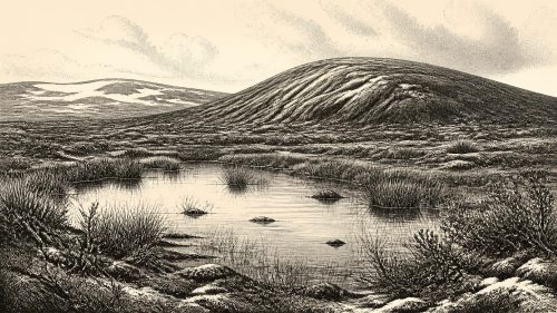
Derryvree is significant because its organic layer lay between tills. The lower and upper tills record separate episodes in which glacier ice reached the locality; the intervening freshwater material records a period in which ice was absent there and plants, insects and shallow water could sustain a living community. Subsequent ice helped seal the older sediments beneath the drumlin. What appears today as an ordinary rounded hill in the Fermanagh countryside thus preserved a fragment of a much older landscape that would otherwise almost certainly have been destroyed.
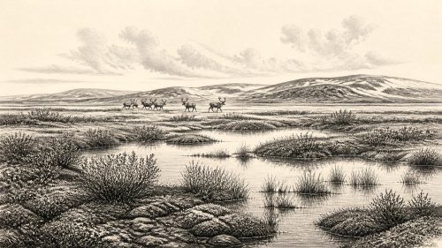
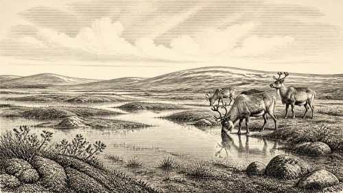
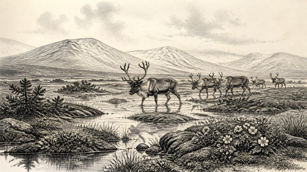
The original investigators interpreted the Derryvree flora and fauna as evidence for open tundra and a periglacial regime. Periglacial does not mean that the ground was permanently buried beneath ice. It denotes a cold environment strongly affected by frost, thaw, snow, seasonal waterlogging and sparse plant cover near an ice-sheet world. Fine sediment could accumulate in pools or slow-moving water during the growing season; winters were likely severe enough for repeated freezing of soil and surface water. The evidence is for a hard, seasonal landscape, not an empty frozen desert.
Plant remains make that point vividly. Herb pollen was poorly preserved, so it cannot furnish a complete map of local vegetation. Yet the assemblage included grasses, sedges, herbs, juniper and a notable moss flora, while macrofossils included mountain avens (Dryas octopetala) and bogbean (Menyanthes trifoliata). These are cold-tolerant plants associated with open ground, wet hollows or northern and alpine settings. Insects likewise point towards cold-climate conditions and plant-rich wet ground. Taken together, the evidence suggests a mosaic of mossy, sedgy margins, shallow pools, exposed mineral ground and low vegetation rather than the oak, hazel and elm woodland that would characterise Ireland much later.
There are important limits to this reconstruction. Derryvree is one basin in south Fermanagh, not a complete survey of the island. A few pollen grains from trees such as pine or hazel need not demonstrate nearby woodland: pollen can travel far, and older material can be reworked. Nor should a cold wetland near Maguiresbridge be assumed to have looked exactly like limestone country in Cork, a coastal shelf plain, or an upland valley. The secure conclusion is local but valuable: at Derryvree, an ice-free freshwater habitat existed within a generally cold interval.
Ireland in an Unstable Ice-Age World
At this date Ireland was part of the north-western fringe of Upper Palaeolithic Europe, but it was not yet the island familiar from later prehistory. Sea level was far below the modern shoreline, exposing extensive continental shelf around Britain and Ireland and changing the shape of coasts, river systems and possible animal routes. The precise availability of dry routes varied with sea level, glaciers and local topography. The evidence does not allow a simple statement that people could freely walk from continental Europe into every part of Ireland. It does show that the physical geography of the Irish Sea region was radically different and repeatedly changing.
The wider British–Irish Ice Sheet was also dynamic rather than static. Derryvree and other pre-Last Glacial Maximum deposits indicate that north-central Ireland had ice-free ground during parts of Marine Isotope Stage 3. Major ice expansion came later. Reconstructions of the last British–Irish Ice Sheet focus on its growth after about 31,000 years before present and its much fuller development during the succeeding millennia; the maximum extent in many sectors belongs broadly to the period around 27,000–21,000 years ago. Thus the landscape represented by Derryvree was vulnerable to a future advance that would transform drainage, strip and redeposit sediment, and cover large areas in ice.
This environmental instability is the nearest equivalent to regional affairs at 31,471 BCE. There were no Irish kingdoms, borders, diplomatic agreements, written laws or institutions that can responsibly be projected into the period. The decisive forces arranging territory were climate, ice, sea level and animal movement. Wetlands appeared and vanished; local forage changed with snow cover and summer growth; ice margins redirected routes across land and shelf. Such changes would have mattered more to any human visitors than any political boundary could have done.
Castlepook and the Animal World
Far to the south, Castlepook Cave near Doneraile in County Cork preserves another essential archive. Known historically as Mammoth Cave, it is Ireland’s richest cave site for vertebrate remains from the period leading towards the Last Glacial Maximum. Its assemblage includes woolly mammoth, reindeer, giant deer, brown bear and spotted hyaena, alongside wolf, Arctic fox and lemmings in portions of the sequence. Modern re-dating has demonstrated that the cave contains material from more than one phase of the Ice Age, and that several older determinations required revision. It should therefore not be treated as a single, neatly sealed moment.
Even with that caution, Castlepook demonstrates that cold-adapted and open-country mammals reached Ireland during the broader period. Reindeer are especially relevant to a tundra and steppe-tundra setting, while mammoth and hyaena show that the island’s Pleistocene fauna was far more varied than its later historic fauna. The animals’ presence does not mean that every species occupied every Irish region at once, or that their numbers were large. Caves are selective archives: carnivores, water, roof collapse, scavenging and early excavation practices all influence what survives and where it is found.
The spotted hyaena is a particular warning against simplistic readings. A cave containing bones is not automatically a human hunting camp. Hyaenas can transport and modify carcass parts, and cave deposits may mix remains accumulated over long periods. Castlepook’s antiquarian excavations also removed much material before modern recording methods existed. Archaeologists can identify species, examine bone surfaces, date surviving collagen and reassess old collections, but they cannot restore every lost relationship between a bone, a layer and the people or animals that once handled it.
The Human Question
A reindeer femur from Castlepook has been reported as bearing a deep mark interpreted as having been made on fresh bone with a stone tool. Public and heritage reporting has associated it with a date of about 33,000 years ago, making it potentially relevant to the broad span in which 31,471 BCE falls. If that interpretation is sustained, it would be striking evidence that one or more people processed a reindeer in Ireland during the Upper Palaeolithic. It would push Irish evidence for human activity much earlier than the formerly accepted terminal-Pleistocene traces and vastly earlier than the well-attested Mesolithic settlement of the early Holocene.
But this is evidence of a possible episode of carcass processing, not proof of a settled population. No securely associated stone-tool assemblage, hearth, dwelling, cemetery, artwork, named group or continuous occupation has yet been established for Ireland at this date. A directly dated animal bone and an interpretation of a surface modification answer different questions: one concerns the age of the animal; the other concerns how the bone was altered. Both matters require careful taphonomic assessment. The responsible conclusion is that Upper Palaeolithic human visitation is plausible and potentially evidenced at Castlepook, but the scale, duration and frequency of such presence remain unresolved.
Comparative evidence from north-west Europe helps explain what a brief visit might have involved, without filling Ireland’s evidential silence with imagined detail. Upper Palaeolithic hunter-gatherers elsewhere used stone implements, fire, clothing, hides and close knowledge of seasonal animal behaviour. If people reached Ireland, a reindeer carcass could have supplied meat, marrow, fat, hide, sinew, antler and bone. Yet the Irish record does not reveal whether the animal was hunted, found dead, scavenged from a predator, or processed by a party staying for hours, days or longer. It cannot identify family structures, languages, ritual practices or social rank.
Life Without a Chronicle
For society and everyday life, restraint is therefore more informative than invention. There is no evidence for farming, permanent villages, fields, livestock, pottery, monuments, metalworking, formal religion, schools, trade institutions or long-distance diplomacy in Ireland around this date. Agriculture and the familiar monument-building cultures of Ireland lay tens of millennia in the future. Nor is there evidence for a local political community that could be called Irish in any cultural or linguistic sense. The modern island’s later identities have no recoverable counterpart here.
Economy, if human visitors were present, would have been an immediate economy of mobility and survival: finding fuel and shelter, maintaining tools, reading snow and ground conditions, and exploiting seasonally available animal and plant resources. Exchange networks may have existed among Upper Palaeolithic communities elsewhere in Europe, but no Irish artefact of this date establishes their reach into the island. Religion and learning are equally beyond direct recovery. A cut bone cannot disclose a belief system; a wetland seed cannot disclose a story, song or teaching tradition.
Yet the absence of such evidence should not make the period seem insignificant. Derryvree records flowing or standing freshwater, flowering plants, mosses, sedges and insects surviving amid intense cold. Castlepook records a food web in which large herbivores, predators and scavengers moved through an Irish landscape whose coastlines and ice margins were unlike those of today. Together, they show that Ireland around the modernly assigned date of 31,471 BCE was neither a blank space nor a settled historical society. It was a changing cold-region environment, intermittently habitable for specialised animals and perhaps briefly visited by people, on the threshold of a later and more extensive glaciation.
Source References
Hover over a number to see the source. Select it to open the source.

- [1] A Middle Midlandian Freshwater Series at Derryvree, Maguiresbridge, County Fermanagh, Northern Ireland
- [2] Palaeoecology
- [3] The Subdivision of the Quaternary Period in Ireland
- [4] Growth and Retreat of the Last British–Irish Ice Sheet, 31,000 to 15,000 Years Ago: The BRITICE-CHRONO Reconstruction
- [5] Trimlines, Blockfields and the Vertical Extent of the Last Ice Sheet in Southern Ireland
- [6] A Reconsideration of the Radiocarbon Dating of the Marine Isotope Stage 3 Fauna from Southern Ireland
- [7] Castlepook Cave: Cork County Geological Site Report
- [8] Archaeology Research Excavation Grant 2022: Castlepook Cave Final Report
- [9] 2022:564 - Castlepook Cave, Castlepook South, Cork
- [10] The Irish Quaternary Fauna Project
- [11] New Insights on the Fauna of Ireland’s Younger Dryas and Early Holocene from Alice & Gwendoline Cave
- [12] The IntCal20 Northern Hemisphere Radiocarbon Age Calibration Curve (0–55 cal kBP)
- [13] Composition and Consequences of the IntCal20 Radiocarbon Calibration Curve
- [14] Karst of Ireland
- [15] Mammoth Cave
- [16] Menyanthes trifoliata
- [17] Dryas octopetala
- [18] Deposits of the Last Glaciation
- [19] Cenozoic: Tertiary and Quaternary
- [20] Occurrence of Mammalia Relicts at Site Castlepook Cave
Primary Sources
- A Middle Midlandian Freshwater Series at Derryvree, Maguiresbridge, County Fermanagh, Northern Ireland
- Palaeoecology
- The Subdivision of the Quaternary Period in Ireland
- Growth and Retreat of the Last British–Irish Ice Sheet, 31,000 to 15,000 Years Ago: The BRITICE-CHRONO Reconstruction
- Trimlines, Blockfields and the Vertical Extent of the Last Ice Sheet in Southern Ireland
- A Reconsideration of the Radiocarbon Dating of the Marine Isotope Stage 3 Fauna from Southern Ireland
- Castlepook Cave: Cork County Geological Site Report
- Archaeology Research Excavation Grant 2022: Castlepook Cave Final Report
- 2022:564 – Castlepook Cave, Castlepook South, Cork
- The Irish Quaternary Fauna Project
- New Insights on the Fauna of Ireland’s Younger Dryas and Early Holocene from Alice & Gwendoline Cave
- The IntCal20 Northern Hemisphere Radiocarbon Age Calibration Curve (0–55 cal kBP)
- Composition and Consequences of the IntCal20 Radiocarbon Calibration Curve
- Karst of Ireland
- Mammoth Cave
- Menyanthes trifoliata
- Dryas octopetala
- Deposits of the Last Glaciation
- Cenozoic: Tertiary and Quaternary
- Occurrence of Mammalia Relicts at Site Castlepook Cave