Castlepook Hyaenids31376 BCE
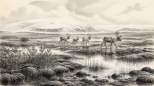
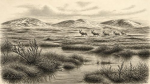
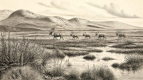
Labelled 31,376 BCE, this period cannot be reconstructed as a single Irish year, but falls within the climatically unstable Late Pleistocene. Derryvree, County Fermanagh, preserves an ice-free interval between glaciations, when cold, treeless wetlands supported freshwater plants and insects. Growing ice, altered coastlines and later erosion produced a patchy, seasonal landscape and destroyed much evidence. Castlepook Cave, County Cork, contains time-averaged remains of mammoth, reindeer, giant deer, hyaena and other cold-adapted fauna, indicating intermittent animal movements. No secure human settlement is known. A possibly cut-marked reindeer bone suggests provisional human activity. Its record survives in sediments, fossils and glacial landforms.
Dateline
“31,376 BCE” is a modern chronological label, not a year that can be recovered from Irish evidence. No calendar, written record, named community or archaeological sequence can identify what happened in one particular year at this depth of time. In calendar arithmetic the label falls about 33,325 years before AD 1950, within the Late Pleistocene and Marine Isotope Stage 3 (MIS 3), a climatically unstable part of the last Ice Age. The responsible way to approach it is through broad calibrated ranges, geological layers and directly dated animal remains, not an invented annual chronicle.
The closest useful Irish evidence places this notional date in a period of cold, open landscapes and changing ice margins. It preceded the fullest expansion of the British–Irish Ice Sheet, generally placed later, around 27,000–21,000 calibrated years before present, although regional ice advances and retreats did not occur everywhere at once. Around the date represented here, some areas of Ireland could support freshwater habitats and large mammals, while others may have been exposed to severe periglacial conditions or affected by growing ice. Ireland was not the familiar green island of later history: its environments were sparse, mobile and highly seasonal.
A Date Within a Range
Radiocarbon years are not calendar years. The amount of carbon-14 in the atmosphere changed through time, so laboratory measurements on bone or peat must be calibrated against internationally maintained curves. At more than 30,000 years ago, the resulting calendar estimates are necessarily broad. The matter is especially important at Derryvree, near Maguiresbridge in County Fermanagh, where an organic deposit yielded the conventional radiocarbon determination BIRM-166, 30,500 ± 1,100 radiocarbon years before present. A later Bayesian regional model places that evidence around 33,500 ± 1,200 calibrated years before present.
That modelled range embraces the modern label 31,376 BCE, but it does not turn the label into a date for a particular event. The Derryvree material accumulated over an interval; its calibrated range has statistical uncertainty; and one locality cannot serve as an island-wide weather report. Nevertheless, it is exceptionally valuable. It shows that, during part of later MIS 3, northern Ireland had an ice-free interval between separate glacial episodes. A landscape existed there long enough for water, sediment, plants and insects to leave a record before renewed ice buried it.
Derryvree’s Wet Ground
The Derryvree sequence was exposed in a road cutting through a drumlin, one of the streamlined hills so characteristic of Ireland’s glacial terrain. Below and above the organic beds lay till: unsorted sediment deposited directly by glacier ice. Between those tills were freshwater silts, fine sands and organic material. This order of layers is firm evidence. First, ice crossed the district; then there was a non-glacial interval in which wet ground and shallow water developed; later, ice again overrode or approached the area closely enough to deposit another till.
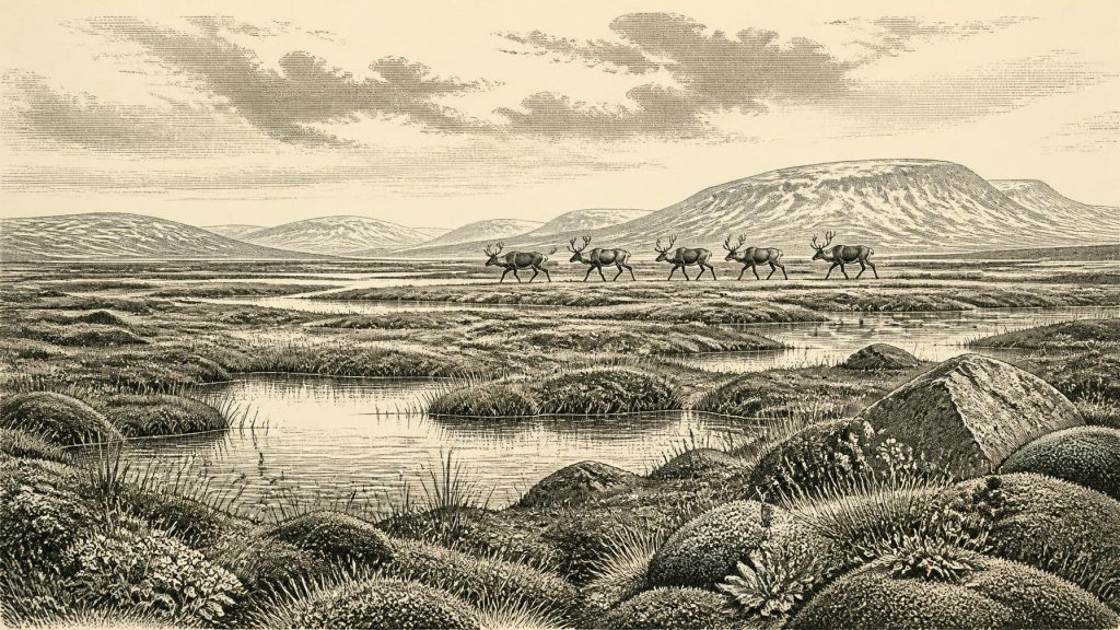
Plant remains, pollen and insect fossils indicate a treeless, cold wetland mosaic rather than dense woodland. Sedges and grasses were important, with mosses, small herbs and aquatic plants occupying pools and saturated margins. Finds associated with bogbean, water-milfoil, mountain avens, Arctic willow and lesser clubmoss have been used to reconstruct freshwater and tundra-like habitats. These observations are evidence from particular sediments. The wider description of a periglacial muskeg—a waterlogged, peaty terrain with open pools and frost-affected ground—is an interpretation based on the ecology of those organisms and the glacial setting.
The word “tundra” should therefore be used carefully. It is helpful shorthand for an open, cold and largely treeless environment, but Derryvree was not a photograph of the whole island and need not have resembled any one modern Arctic region. Water can persist locally even in severe climates, especially in shallow basins and poorly drained hollows. The survival of plant and insect communities in such places is a reminder that an Ice Age Ireland was not simply a blank expanse of ice. It was instead a patchwork whose habitable places could expand, contract or disappear as climate and ice changed.
Ice, Sea and Changing Routes
At this point in MIS 3, Ireland was approaching a major reorganisation of its landscape. Reconstructions of the British–Irish Ice Sheet place substantial build-up after roughly 35,000–32,000 years ago, with the later maximum occurring millennia afterwards. Offshore work west and north-west of Ireland shows that the ice sheet eventually advanced far across the continental shelf, but the timing and exact geometry of earlier growth remain less secure. It would be misleading to draw a single neat ice edge across the island for 31,376 BCE.
What can be said is that ice was a decisive environmental force. Glaciers eroded exposed surfaces, diverted drainage, carried rock debris and repeatedly removed or disturbed evidence of earlier landscapes. This destructive power explains the scarcity of surviving pre-maximum sites. Caves and protected sediment pockets are disproportionately important because they could preserve bone and organic material that open-air places lost. It also means absence of evidence must be interpreted cautiously: a missing camp or animal bone may reflect later erosion rather than a genuinely empty landscape.
Sea level was substantially lower than today during the broader glacial cycle, altering coastlines and narrowing some sea crossings. Yet lowered sea level alone does not demonstrate a dry land bridge linking Ireland, Britain and continental Europe at this exact time. Ice, marine basins, shifting shorelines and regional topography all mattered. For animals or people, movement into Ireland may have required crossing water, travelling over seasonal ice, or exploiting temporary routes whose details are now submerged or erased. Claims of easy, permanent overland access go beyond the surviving evidence.
Castlepook’s Animal Archive
The strongest evidence for animal life close to this broad horizon comes from Castlepook Cave, near Doneraile in north County Cork, within the Blackwater catchment. Excavations there between 1904 and 1913 recovered a large and varied bone collection. Later re-examination and improved radiocarbon methods have shown that the cave contains remains from different parts of MIS 3, rather than one single occupation episode. It is an archive accumulated over long periods, with bones brought in by carnivores, water and other processes.
The fauna includes woolly mammoth, reindeer, giant deer, brown bear, wolf, Arctic fox, mountain hare, collared lemming and spotted hyaena. This combination supports the interpretation of open, cold environments with grazing animals, smaller tundra-adapted mammals and large predators or scavengers. A hyaena scapula has returned a radiocarbon age of 33,240 ± 220 years before present, remarkably close to the nominal period considered here in radiocarbon terms, though calibration and cave context still prevent any claim that it represents the exact year. Reindeer and mammoth bones likewise show that large herbivores reached Ireland during parts of MIS 3.
These animals should not be imagined as a permanently coexisting herd wandering a settled Irish plain. Direct dates show that the Castlepook assemblage is time-averaged; some species may have visited the region centuries or millennia apart. Nor does a cave bone necessarily show where an animal lived, died or was eaten. Hyaenas could carry prey remains into dens; floodwater could mix deposits; early excavations did not meet modern stratigraphic standards. Castlepook nevertheless demonstrates that the island was, at intervals, part of the wider north-west European world of cold-adapted mammals.
The Human Question
There is no secure evidence for a settlement, house, hearth, burial, stone-tool assemblage or enduring community in Ireland at 31,376 BCE. That absence is crucial when discussing society, economy, religion, culture or political affairs. No polity, leader, alliance, conflict or diplomatic relationship can responsibly be identified. There is equally no basis for describing farming, trade networks, ritual monuments, language or formal learning. If people entered Ireland during this period, they left no securely excavated evidence sufficient to reconstruct a social world.
One object makes the question harder to dismiss, but not settled. A reindeer femur from Castlepook has been publicised as about 33,000 years old and bears a deep mark interpreted by zooarchaeologist Ruth Carden as a possible cut made with a stone tool during carcass processing. If that interpretation is correct, it would indicate a brief Upper Palaeolithic human presence and the practical use of a sharp stone edge to obtain meat, hide, sinew or another resource. It would not prove that people hunted the animal, lived in the cave, or established a population in Ireland.
The distinction between the bone’s age and the meaning of its mark matters. Direct dating can establish when the animal died within a range; identifying a surface modification as human rather than carnivore damage, breakage or later abrasion is a separate specialist judgement. The old collection lacks an in-situ occupation surface associating the femur with tools, hearth ash and other food waste. Recent work at Castlepook has sought undisturbed Pleistocene deposits precisely because such contextual evidence would transform the debate. Until then, the marked femur is best described as important but provisional evidence for human activity.
History Before History
For Ireland around 31,376 BCE, the most important development was environmental rather than political: a volatile cold-stage landscape in which ice-free wetlands, cave refuges and mammal corridors existed between glacial advances. Derryvree records local freshwater life in Fermanagh; Castlepook preserves a much broader Cork faunal archive; offshore landforms document the ice sheet that would later remodel the island and destroy much of its earlier surface record.
The period has no recoverable Irish kings, battles, shrines or settlements. Its human history, if there was one, may be represented only by a debated incision on a reindeer bone. Its firmer history is written in till, silt, pollen, beetle fragments and collagen: evidence of organisms adapting to an unstable world at Europe’s Atlantic edge. That is not a lesser history. It is the deep environmental precondition from which the much later, better documented peopling of Ireland emerged.
Source References
Hover over a number to see the source. Select it to open the source.

- [1] The IntCal20 Northern Hemisphere Radiocarbon Age Calibration Curve (0–55 cal kBP)
- [2] IntCal Publications
- [3] A Middle Midlandian Freshwater Series at Derryvree, Maguiresbridge, County Fermanagh, Northern Ireland
- [4] Figure 6: The Subdivision of the Quaternary Period in Ireland
- [5] Aghnadarragh
- [6] Early Midlandian–Middle Midlandian, Pleistocene, Northern Ireland
- [7] Freshwater Organic Deposits and Stratified Sediments Between Early and Late Midlandian (Devensian) Till Sheets, at Aghnadarragh, County Antrim, Northern Ireland
- [8] Extent and Timing of the Last Glacial Maximum (LGM) in Britain and Ireland: A Review
- [9] Dimensions and Chronology of the Last Ice Sheet in Western Ireland
- [10] Maximum Extent and Dynamic Behaviour of the Last British–Irish Ice Sheet West of Ireland
- [11] Marine Geophysical Evidence for Late Pleistocene Ice Sheet Extent and Recession off Northwest Ireland
- [12] Exploring Controls of the Early and Stepped Deglaciation on the Western Margin of the British Irish Ice Sheet
- [13] Maximum Extent and Readvance Dynamics of the Irish Sea Ice Stream and Irish Sea Glacier Since the Last Glacial Maximum
- [14] Character of Advance and Retreat of the Southwest Sector of the British-Irish Ice Sheet During the Last Glaciation
- [15] Stratigraphic and Palaeo-Geomorphological Evidence for the Glacial-Deglacial History of the Last British-Irish Ice Sheet in the North-Western Irish Sea
- [16] BRITICE Glacial Map, Version 2: A Map and GIS Database of Glacial Landforms of the Last British–Irish Ice Sheet
- [17] A Reconsideration of the Radiocarbon Dating of the Marine Isotope Stage 3 Fauna from Southern Ireland
- [18] Phylogeographic, Ancient DNA, Fossil and Morphometric Analyses Reveal Ancient and Modern Introductions of a Large Mammal: The Complex Case of Red Deer (Cervus elaphus) in Ireland
- [19] The Irish Quaternary Fauna Project
- [20] New Insights on the Fauna of Ireland’s Younger Dryas and Early Holocene from Alice & Gwendoline Cave
- [21] Radiocarbon Dates I
- [22] Archaeological Heritage of County Cork
- [23] Castlepook Cave, Co. Cork, 2022
- [24] Prehistoric Details
Primary Sources
- The IntCal20 Northern Hemisphere Radiocarbon Age Calibration Curve (0–55 cal kBP)
- IntCal Publications
- A Middle Midlandian Freshwater Series at Derryvree, Maguiresbridge, County Fermanagh, Northern Ireland
- Figure 6: The Subdivision of the Quaternary Period in Ireland
- Aghnadarragh
- Early Midlandian–Middle Midlandian, Pleistocene, Northern Ireland
- Freshwater Organic Deposits and Stratified Sediments Between Early and Late Midlandian (Devensian) Till Sheets, at Aghnadarragh, County Antrim, Northern Ireland
- Extent and Timing of the Last Glacial Maximum (LGM) in Britain and Ireland: A Review
- Dimensions and Chronology of the Last Ice Sheet in Western Ireland
- Maximum Extent and Dynamic Behaviour of the Last British–Irish Ice Sheet West of Ireland
- Marine Geophysical Evidence for Late Pleistocene Ice Sheet Extent and Recession off Northwest Ireland
- Exploring Controls of the Early and Stepped Deglaciation on the Western Margin of the British Irish Ice Sheet
- Maximum Extent and Readvance Dynamics of the Irish Sea Ice Stream and Irish Sea Glacier Since the Last Glacial Maximum
- Character of Advance and Retreat of the Southwest Sector of the British-Irish Ice Sheet During the Last Glaciation
- Stratigraphic and Palaeo-Geomorphological Evidence for the Glacial-Deglacial History of the Last British-Irish Ice Sheet in the North-Western Irish Sea
- BRITICE Glacial Map, Version 2: A Map and GIS Database of Glacial Landforms of the Last British–Irish Ice Sheet
- A Reconsideration of the Radiocarbon Dating of the Marine Isotope Stage 3 Fauna from Southern Ireland
- Phylogeographic, Ancient DNA, Fossil and Morphometric Analyses Reveal Ancient and Modern Introductions of a Large Mammal: The Complex Case of Red Deer (Cervus elaphus) in Ireland
- The Irish Quaternary Fauna Project
- New Insights on the Fauna of Ireland’s Younger Dryas and Early Holocene from Alice & Gwendoline Cave
- Radiocarbon Dates I
- Archaeological Heritage of County Cork
- Castlepook Cave, Co. Cork, 2022
- Prehistoric Details