Maguirebridge’s Frostwater Flora31261 BCE
31,261 BCE is a modern label within unstable Marine Isotope Stage 3, not a precisely datable Irish event. At Derryvree, County Fermanagh, freshwater sediments between tills indicate a temporary ice-free interval, supporting tundra vegetation, pools, mosses and cold, frost-affected ground. Castlepook Cave, County Cork, preserves diverse Ice Age fauna, including reindeer, mammoth, predators and cold-adapted species, though dates and contexts require caution. A possibly cut-marked reindeer bone suggests, but cannot prove, early human visits. Ireland lacked evidenced settlements, polities or trade. Changing ice, sea levels and ecological routes shaped Ireland’s fragmentary landscape before later extensive glaciation and erased older evidence.
Dateline
The label 31,261 BCE is a modern chronological convenience, not a year that anyone in Ireland could have counted or recorded. It corresponds approximately to 33,210 calibrated years before present, using the archaeological convention in which “present” is AD 1950. At this depth of time, neither radiocarbon dating nor glacial stratigraphy can identify an event within a particular twelve-month span. The responsible approach is therefore to examine the Late Pleistocene landscape of Ireland during the broader interval in which this nominal date falls: Marine Isotope Stage 3 (MIS 3), a climatically unstable part of the last Ice Age.
This was not an Ireland of kingdoms, farms, monuments, villages or written tradition. It was an intermittently habitable northern landmass whose landscapes were repeatedly altered by cold, ice, meltwater and changing sea levels. The surviving record is fragmentary because later glaciers eroded, buried and redeposited older sediments across much of the island. Yet a handful of caves, buried organic beds and glacial landforms allow a careful reconstruction of conditions. They reveal local environments and broad phases of change, rather than a national scene frozen at one precise date.
A Freshwater Interval at Derryvree
The strongest Irish environmental evidence relevant to this period comes from Derryvree townland, near Maguiresbridge in County Fermanagh. Roadworks in 1969 cut through a drumlin and exposed a remarkable sequence. Organic freshwater silts and fine sands lay between two separate deposits of till, the unsorted debris left by moving glacier ice. The order of the layers is itself important evidence. Ice had occupied the locality before the organic sediments formed; then a period without local glacier cover allowed water, mud, plants and small animals to accumulate; later ice advanced again and sealed the deposit beneath fresh till.
Organic material from the Derryvree bed produced a conventional radiocarbon result of about 30,500 radiocarbon years BP, with a substantial uncertainty. When considered through modern calibration, discussion of the deposit places it broadly within roughly 36,900–31,700 calibrated years BP, or approximately 34,950–29,750 BCE. The nominal year considered here falls within that wide range. That overlap is useful, but limited: it means Derryvree can illuminate the kind of Irish environment that may have existed around 31,261 BCE; it does not date every grain of silt, plant fragment or pool at the site to that year.
The Derryvree sequence also supplies an essential corrective to a simple image of an entirely ice-covered Ireland. It demonstrates that, during part of the Middle Midlandian glaciation, this area of Fermanagh contained a freshwater environment between glacial advances. It does not demonstrate that all parts of Ireland were simultaneously free of ice, nor does it establish a stable island-wide climate. Ice-sheet margins and local conditions changed through time, and the evidence for the earlier stages of the last glaciation remains much less secure than that for its later maximum.
Tundra, Pools and Frozen Ground
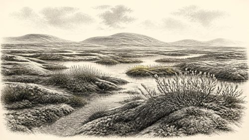
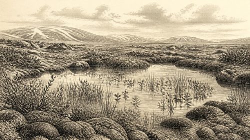
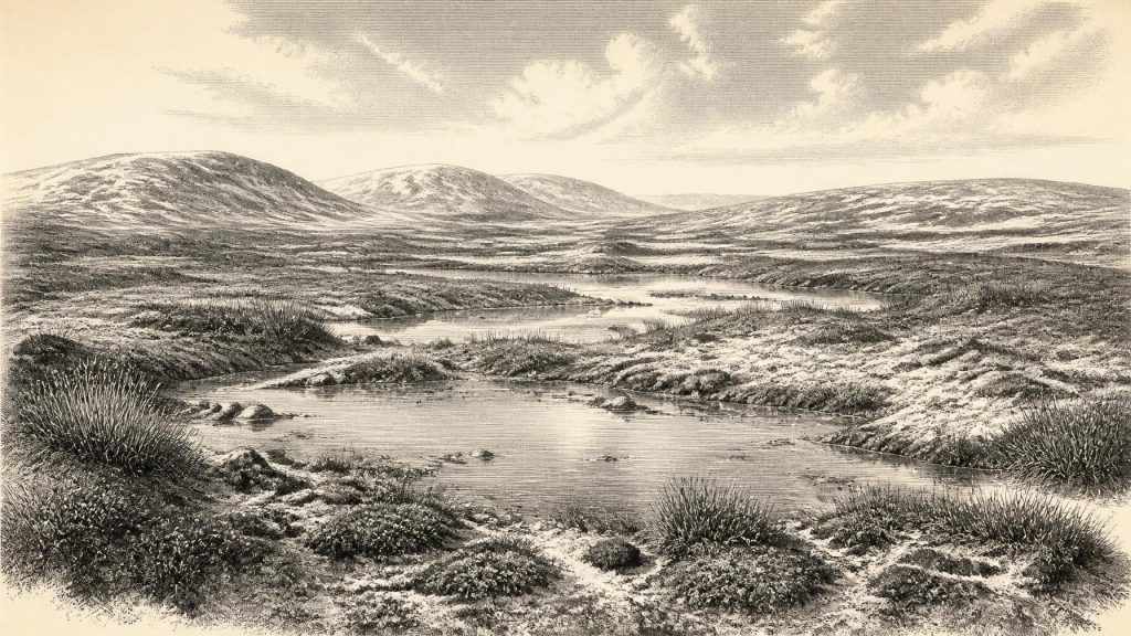
The biological remains at Derryvree point to open tundra-like vegetation and a periglacial climate. Pollen of herbaceous plants, mosses, plant macrofossils and insect remains indicate a landscape with wet ground, shallow water and sparse dry-land cover. Sedges and mosses could thrive around pools and saturated hollows; cold-adapted plants occupied exposed ground. Such a setting was not a lifeless white desert. It was a working ecosystem, with seasonal growth and freshwater habitats, but one constrained by a short growing season, harsh winters and ground affected by frost.
Small quantities of tree pollen should not be turned into evidence for local woodland. Pollen can travel considerable distances, and the wider assemblage is overwhelmingly consistent with treeless or near-treeless country. Nor should the word “tundra” suggest a single uniform surface. The Derryvree evidence instead implies a mosaic: wetter margins, pools, silty shallows, mossy ground and more open, drier patches. The contrast between the freshwater sediment and the tills above and below it reminds us that even this mosaic was temporary on geological timescales.
Climate across the North Atlantic during MIS 3 was marked by abrupt shifts, recorded especially clearly in Greenland ice cores. Ireland stood at the Atlantic edge of that volatile system. It would have experienced the consequences in temperature, precipitation, snow persistence, vegetation and the extent of ice. The landscape around 33,000 calibrated years ago should therefore be understood as part of a changing sequence rather than as the opening stage of a settled, predictable climatic regime.
The Cave-Bone Record in Cork
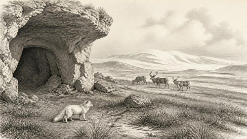
In north County Cork, Castlepook Cave near Doneraile provides a very different archive. The cave, also known as Mammoth Cave, has yielded one of Ireland’s richest Pleistocene vertebrate assemblages. Finds from its chambers and deposits include remains attributed to animals such as reindeer, giant deer, wolf, brown bear, Arctic fox, hare, lemmings, woolly mammoth and spotted hyaena. Together, these remains show that Ireland was connected ecologically, at least at intervals, to the wider north-west European Ice Age world.
That statement needs caution. Cave collections were often recovered during early excavations, when recording methods were uneven by modern standards. Bones may have been moved by animals, water, excavation or later disturbance; specimens from different episodes can become mixed. Recent reassessment of radiocarbon measurements has shown why older determinations require renewed scrutiny. A species found in Castlepook Cave cannot automatically be placed at Derryvree, nor can every animal in the cave fauna be assigned to 31,261 BCE.
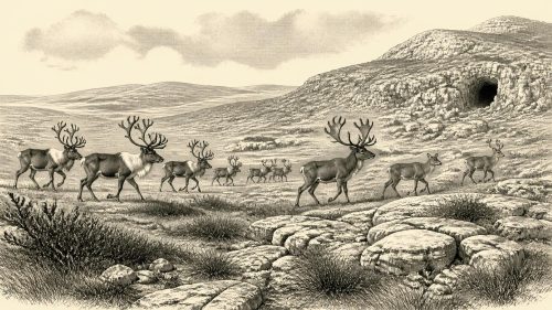
Nonetheless, the faunal evidence makes the cold landscape more tangible. Reindeer and hare suit open country; lemmings and Arctic foxes indicate severe climatic conditions; large herbivores could exploit the seasonal productivity of steppe-tundra vegetation. Predators and scavengers, including wolf and spotted hyaena, belonged to the same food web. A hyaena den is not evidence of human habitation, but it does show that caves were contested or repeatedly used refuges within an animal landscape. The remains offer a picture of ecology, not a list of creatures seen together on one day.
The Human Question
The possibility of people in Ireland during this broader period is one of the most important and least settled questions. A reindeer femur from Castlepook has been reported as bearing an incision consistent with a stone-tool cutmark and has been associated with an age of roughly 33,000 years. If its context, date and interpretation are confirmed together, it would be exceptionally early evidence for human activity in Ireland, long before the well-attested post-glacial settlement of the island.
For this particular nominal year, however, the claim must remain carefully phrased. The bone is not a house, hearth, tool assemblage, human burial or securely excavated camp. It cannot demonstrate a permanent population, a named group, or continuous occupation. Nor can it establish that people were present in 31,261 BCE itself. At most, it raises the possibility that small Upper Palaeolithic parties reached, crossed or used parts of Ireland during a broader MIS 3 interval. Such visitors may have been highly mobile hunters following animal resources, but that is an interpretation based on the wider European archaeological context rather than a fact directly demonstrated by an Irish settlement site.
The distinction matters because later evidence is clearer. The butchered bear bone from Alice and Gwendoline Cave in County Clare dates to the terminal Pleistocene, around 12,800–12,600 calibrated years BP, and provides evidence for human activity many millennia after the period considered here. Substantial evidence for more enduring settlement belongs later still, in the Mesolithic. The great chronological gap warns against projecting later communities, identities or technologies backwards into the Middle Midlandian.
No Polities, No Diplomacy
There is no evidence for political institutions, rulers, territorial states, warfare between organised Irish communities, diplomacy, religion or formal learning in Ireland at this date. It would be misleading to fill those headings with imagined clans or rituals. If humans did occasionally enter the island during MIS 3, their social organisation cannot be recovered from the current Irish evidence. The same restraint applies to economy and trade. No Irish evidence demonstrates farming, metalworking, long-distance exchange networks, permanent markets or maritime commerce around 31,261 BCE.
There were, however, ecological connections. The presence of continental-style Ice Age fauna implies routes by which animals could disperse between Ireland, Britain and mainland Europe during suitable phases of low sea level and changing ice extent. The exact geography and timing of those routes remain debated. Lower sea levels did not automatically create a simple dry land bridge, and glacial ice, cold seas, rivers and exposed coastal plains could each facilitate or obstruct movement. For animals and any human visitors, access was a shifting geographical problem rather than a permanent corridor.
Approaching a Greater Freeze
The landscape represented by Derryvree belongs before the fullest expansion of the later British–Irish Ice Sheet, conventionally associated with the Last Glacial Maximum. Reconstructions increasingly show that this ice sheet developed asynchronously: different sectors advanced, merged, thickened and retreated at different times. By the later part of the glacial cycle, extensive ice reshaped much of Ireland and removed or concealed earlier evidence. The survival of the Fermanagh freshwater bed is therefore especially valuable, precisely because it records a local interruption in glacial conditions.
Ireland around 31,261 BCE was thus a place of environmental possibility and deep uncertainty. At Derryvree, freshwater and cold-adapted vegetation existed during a broad ice-free interval. At Castlepook, cave deposits preserve evidence of a rich, changing Ice Age fauna and a tantalising but still limited question about early human activity. These are not foundations for an annual political narrative. They are the surviving traces of tundra pools, animal movements and advancing ice: enough to show that the island had a history at this depth of time, but not enough to turn one modern calendar year into a recorded human episode.
Primary Sources
- A Middle Midlandian Freshwater Series at Derryvree, Maguiresbridge, County Fermanagh, Northern Ireland
- Palaeoecology: Irish Quaternary Association Field Guide 16
- Figure 6.—The Subdivision of the Quaternary Period in Ireland
- A Reconsideration of the Radiocarbon Dating of the Marine Isotope Stage 3 Fauna from Southern Ireland
- The Irish Quaternary Fauna Project
- Castlepook Cave, County Geological Site Report CK032
- Occurrence of Mammalia Relicts at Site Castlepook Cave
- Excavations 2022: Castlepook Cave, County Cork
- New Insights on the Fauna of Ireland’s Younger Dryas and Early Holocene from Alice and Gwendoline Cave
- First Evidence of a Late Upper Palaeolithic Human Presence in Ireland
- Excavations 2019: Alice and Gwendoline Cave, County Clare
- The Colonization of Ireland: A Human Ecology Perspective
- Growth and Retreat of the Last British-Irish Ice Sheet, 31,000 to 15,000 Years Ago: the BRITICE-CHRONO Reconstruction
- Growth and Retreat of the Last British-Irish Ice Sheet, 31,000 to 15,000 Years Ago: the BRITICE-CHRONO Reconstruction
- Last Glacial Maximum Cirque Glaciation in Ireland and Implications for Reconstructions of the Irish Ice Sheet
- Maximum Extent and Dynamic Behaviour of the Last British-Irish Ice Sheet West of Ireland
- Character of Advance and Retreat of the Southwest Sector of the British-Irish Ice Sheet During the Last Glaciation
- New Data for the Last Glacial Maximum in Great Britain and Ireland
- The IntCal20 Northern Hemisphere Radiocarbon Age Calibration Curve (0–55 cal kBP)
- IntCal: International Radiocarbon Calibration
- A Stratigraphy Framework for Abrupt Climatic Changes During the Last Glacial Period Based on Three Synchronized Greenland Ice-Core Records
- A Pliocene-Pleistocene Stack of 57 Globally Distributed Benthic δ18O Records