Disputed Modification30973 BCE
30,973 BCE is a modern label for a late MIS 3 interval, not a recorded Irish year. Derryvree, County Fermanagh, preserves freshwater sediments beneath till, indicating an ice-free, cold wetland with open, treeless vegetation during a broadly dated interval. Castlepook Cave, County Cork, contains diverse pre-Last Glacial Maximum fauna, including mammoth, reindeer, giant deer and spotted hyaena, reflecting connection with north-west European cold-stage ecosystems. A cut-marked reindeer femur may indicate Upper Palaeolithic human processing, but cannot prove settlement, hunting, or permanent population. Glaciation, erosion and rising seas destroyed evidence; Ireland remained a landscape of wetlands, open ground and mobile animals.
Dateline
30,973 BCE is not a year for which Ireland has an annal, a named people or an identifiable event. It is a modern calendar label projected deep into the Late Pleistocene. No calendar was used in Ireland, and archaeological dating at this depth of time cannot isolate a particular season, generation or year. In the archaeological convention of years before AD 1950, the label falls at roughly 32,900 years before present. The responsible subject is therefore Ireland during the later part of Marine Isotope Stage 3 (MIS 3), a long and climatically unstable stretch of the last Ice Age, rather than an invented episode in a single year.
The evidence is fragmentary but important. It comes chiefly from buried freshwater sediments at Derryvree near Maguiresbridge in County Fermanagh, and from the rich animal-bone assemblage of Castlepook Cave, also called Mammoth Cave, near Doneraile in north County Cork. Together they show that parts of Ireland supported cold-adapted plants and animals before the Last Glacial Maximum. One marked reindeer femur from Castlepook also raises the possibility of a far earlier human presence than was once accepted. Yet possibility must not be mistaken for proof of settlement.
A Date Range, Not a Dated Event
The closest dated environmental sequence is Derryvree. Roadworks in 1969 exposed fine sands, freshwater silts and organic material lying between two thick sheets of till, the unsorted debris deposited by glacier ice. The sequence records a clear order of events: ice affected the locality; an ice-free freshwater environment later developed; and a renewed advance of glacier ice buried the deposit. It does not provide a diary of a single year, but it is powerful evidence that this part of Fermanagh was not continuously overridden by ice throughout the later Pleistocene.
The organic bed produced a conventional radiocarbon determination of 30,500 +1,170/−1,030 radiocarbon years BP. Radiocarbon years are not calendar years, particularly so far back in time, because atmospheric carbon-14 levels changed. Calibration using modern northern-hemisphere curves gives a broad calendar range, commonly expressed at approximately 36,900–31,700 calibrated years BP. The nominal year 30,973 BCE falls within that span, but the overlap is broad: it cannot tell us what happened at Derryvree in that particular year, or even prove that all districts of Ireland shared its conditions simultaneously.
This distinction is fundamental. Derryvree is a local archive sealed beneath later ice deposits, not a weather station for the whole island. The age range nevertheless places its freshwater ecosystem in the same wider late-MIS 3 world as the year under consideration: a cold, variable Ireland in which ice margins, wetlands, open ground and animal ranges changed over centuries and millennia.
Derryvree’s Cold Wetland
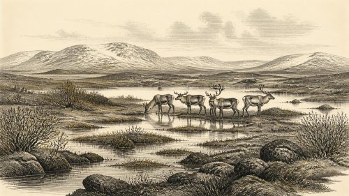
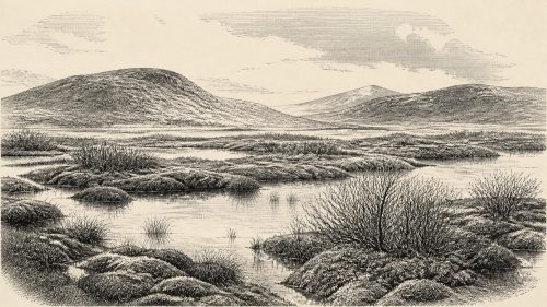
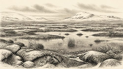
The Derryvree fossils replace the misleading image of an Ice Age Ireland as either uniformly ice-covered or lifeless. Pollen, plant macrofossils, mosses and insects indicate open, treeless terrain with wet ground, shallow pools and freshwater channels. Sedges and grasses grew with herbs and low shrubs. Finds reported from the deposit include bogbean, alternate water-milfoil, dwarf willow and mountain-avens: plants consistent with cold, damp, periglacial conditions but also with standing or slow-moving water and a short productive season.
The older term muskeg, used by researchers for this sort of moss-rich wetland, is useful if it is not allowed to suggest a modern landscape reproduced exactly in the past. Derryvree was probably a shifting mosaic. Frost, seasonal freezing and sparse tree cover shaped exposed ground; pools and saturated margins gave shelter to aquatic plants and insects; nearby drier patches could support herbs and grazing. The evidence directly establishes species and depositional conditions near one body of water. Reconstructing its wider appearance as a tundra-like landscape is a reasonable interpretation, but one that should retain that local limit.
Climate was harsh. Earlier analysis of the plant and insect evidence inferred severe winters and relatively cool summers. Yet harsh did not mean permanently frozen. Freshwater sediment accumulated, plants flowered and mosses spread. Such habitats mattered because they offered water, forage and cover within an exposed northern environment. They also show why the history of glaciation cannot be reduced to a simple story of an ice sheet arriving once and covering every part of Ireland continuously until its final retreat.
Castlepook’s Animal World
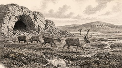
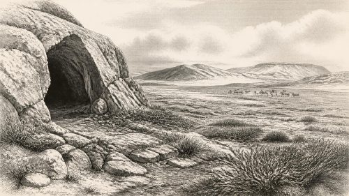
In County Cork, Castlepook Cave preserves Ireland’s most substantial assemblage of vertebrate remains from the period before the Last Glacial Maximum. Excavations undertaken mainly between 1904 and 1913 recovered more than 2,000 bones from galleries given evocative names including Hyenahall and Elephant Hall. The cave’s fauna includes woolly mammoth, reindeer, giant deer, brown bear, wolf, foxes, hare, stoat, lemmings and spotted hyaena. It is evidence that Ireland was connected ecologically to the wider north-west European cold-stage world, even though the precise routes, timings and durations of individual animal movements remain difficult to reconstruct.
The animal list should not be read as a photograph of one living herd gathered outside the cave. Castlepook was a cave repository used and disturbed over a long period. Carnivores could carry in bones; water could move sediments and remains; collapse, frost and early excavation could disturb their original relationships. Modern re-dating has also shown that some older radiocarbon determinations from Irish caves were too young, because improved pretreatment removes contaminants from ancient bone collagen more effectively. Individual Castlepook remains now demonstrate a long chronological spread rather than a single occupation horizon.
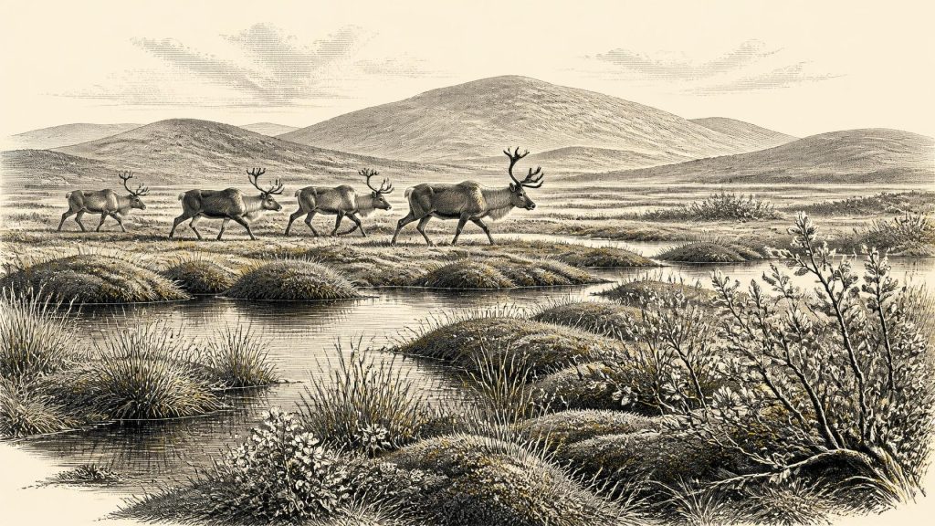
Even so, the fauna supports an image of open country able to sustain large grazers and browsers, alongside formidable predators and scavengers. Reindeer fit cold, open landscapes and may have ranged seasonally; mammoth and giant deer attest to an ecological richness now wholly absent from Ireland. Spotted hyaena is particularly significant. Castlepook is its only known Irish site, and hyaenas may themselves explain part of the bone accumulation. A cave full of bones is therefore not automatically a human hunting camp.
The Mark on One Bone
The most consequential possible human evidence is a fragment of reindeer femur from Castlepook. Public heritage material places it broadly around 31,000 BC and identifies a deep linear mark which zooarchaeologist Ruth Carden has interpreted as damage made by a sharp stone implement while fresh bone was being processed. If that interpretation is sustained, it would indicate that a person used a cutting edge on a reindeer carcass in Ireland during the Upper Palaeolithic, vastly earlier than the formerly accepted evidence for human activity after the final glacial retreat.
That is a major claim, but it is a narrow one. The bone does not come from a modern, sealed excavation trench containing associated flint tools, hearths, dwelling traces, human remains and a complete butchered assemblage. Its radiocarbon age dates the animal’s death within a scientific range; it does not automatically identify the maker of the mark, establish where the carcass was processed or demonstrate that hunters killed the reindeer at the cave. County Cork heritage interpretation reasonably suggests that a carnivore may have transported discarded limb material into a den after people had processed the animal elsewhere.
No securely contemporary stone-tool assemblage, camp floor, burial, shelter, art or repeated food-processing area has yet been identified in Ireland. The careful conclusion is therefore that the Castlepook femur may record a human encounter with a reindeer, not that Ireland had a permanent or numerous population. It may represent a short visit by a small mobile group, one episode within a longer pattern of visits, or an activity whose original location has been lost. Further work on intact deposits, microscopic surface analysis and securely recorded finds is needed before stronger claims can be made.
People Without a Recorded Society
If people were present, their likely technology was perishable or portable: sharp stone edges, wooden shafts and clothing or bindings made from hide, sinew and plant fibres are plausible within the wider Upper Palaeolithic world. But none can presently be demonstrated from Ireland at this date. It would be unjustified to assign them a language, ethnic name, artistic tradition, social hierarchy or ancestry among later Irish populations. There is no basis for identifying a polity, chiefdom, territory or diplomatic relationship.
The same restraint applies to conflict and religion. Reindeer, wolves and hyaenas shared a dangerous landscape, and a hunting group would have needed knowledge, co-operation and mobility; those are general inferences from survival in cold environments, not discoveries about a named Irish community. There is no Irish evidence of weapons, organised violence, shrines, graves, ritual deposits or symbolic art from around this time. Silence in the evidence is not proof that such practices did not exist, but it prevents responsible description of them.
Movement, Exchange and Loss
Lower global sea levels altered the geography of north-west Europe, exposing areas now submerged around Ireland and Britain. But no surviving Irish evidence can show exactly how any human visitors reached the island, whether they travelled over connected lowlands, crossed water, followed animal movements or arrived during a particular climatic interval. Nor is there evidence for trade: no imported tools, shells, pigments or other exchange goods can be securely assigned to Ireland around 30,973 BCE.
What can be said is that animal populations repeatedly reached Ireland during MIS 3, while later ice advances transformed or destroyed much of the contemporary landscape. This helps explain the archaeological imbalance. A mobile party may have left little behind; subsequent glaciation, erosion, rising seas and the patchy survival of caves reduced the chance that traces endured. Castlepook and Derryvree are exceptional precisely because they preserve indirect evidence where most open-air ground surfaces have vanished.
Ireland around this notional date was thus neither a blank frozen void nor a settled prehistoric country. It was a changing cold-stage landscape of wetlands, open ground and large mammals, subject to the advance and retreat of ice. Derryvree provides firm environmental evidence for an ice-free freshwater interval in Fermanagh; Castlepook documents a diverse southern fauna and preserves a provocative reindeer bone. The marked femur may be the earliest sign that people entered this landscape. For now, however, it remains a singular clue rather than the foundation for a full human history.
Source References
Hover over a number to see the source. Select it to open the source.

- [1] A Middle Midlandian Freshwater Series at Derryvree, Maguiresbridge, County Fermanagh, Northern Ireland
- [2] A reconsideration of the radiocarbon dating of the Marine Isotope Stage 3 fauna from southern Ireland
- [3] The Irish Quaternary Fauna Project
- [4] Irish Pleistocene biostratigraphy
- [5] Exploring controls of the early and stepped deglaciation on the western margin of the British-Irish Ice Sheet
- [6] The timing and magnitude of the British-Irish Ice Sheet between Marine Isotope Stages 5d and 2
- [7] Castlepook Cave: County Geological Site Report
- [8] Spotted Hyena Skull
- [9] Heritage Artefacts of County Cork 2021
- [10] 2022:564 – Castlepook Cave, Castlepook South, Cork
- [11] Phylogeographic, ancient DNA, fossil and morphometric analyses reveal ancient and modern introductions of a large mammal: the complex case of red deer in Ireland
- [12] New insights on the fauna of Ireland’s Younger Dryas and Early Holocene from Alice & Gwendoline Cave
- [13] The IntCal20 Northern Hemisphere Radiocarbon Age Calibration Curve (0–55 cal kBP)
- [14] Menyanthes trifoliata
- [15] Dryas octopetala
- [16] Salix herbacea
- [17] Myriophyllum alterniflorum
- [18] Freshwater organic deposits and stratified sediments between early and late Midlandian (Devensian) till sheets, at Aghnadarragh, County Antrim, Northern Ireland
- [19] Maximum extent and dynamic behaviour of the last British-Irish Ice Sheet west of Ireland
- [20] Occurrence of mammalia relicts at site Castlepook Cave
- [21] Trimlines, blockfields and the vertical extent of the last ice sheet in southern Ireland
- [22] Irish Association for Quaternary Studies Field Guide 16
Primary Sources
- A Middle Midlandian Freshwater Series at Derryvree, Maguiresbridge, County Fermanagh, Northern Ireland
- A reconsideration of the radiocarbon dating of the Marine Isotope Stage 3 fauna from southern Ireland
- The Irish Quaternary Fauna Project
- Irish Pleistocene biostratigraphy
- Exploring controls of the early and stepped deglaciation on the western margin of the British-Irish Ice Sheet
- The timing and magnitude of the British-Irish Ice Sheet between Marine Isotope Stages 5d and 2
- Castlepook Cave: County Geological Site Report
- Spotted Hyena Skull
- Heritage Artefacts of County Cork 2021
- 2022:564 – Castlepook Cave, Castlepook South, Cork
- Phylogeographic, ancient DNA, fossil and morphometric analyses reveal ancient and modern introductions of a large mammal: the complex case of red deer in Ireland
- New insights on the fauna of Ireland’s Younger Dryas and Early Holocene from Alice & Gwendoline Cave
- The IntCal20 Northern Hemisphere Radiocarbon Age Calibration Curve (0–55 cal kBP)
- Menyanthes trifoliata
- Dryas octopetala
- Salix herbacea
- Myriophyllum alterniflorum
- Freshwater organic deposits and stratified sediments between early and late Midlandian (Devensian) till sheets, at Aghnadarragh, County Antrim, Northern Ireland
- Maximum extent and dynamic behaviour of the last British-Irish Ice Sheet west of Ireland
- Occurrence of mammalia relicts at site Castlepook Cave
- Trimlines, blockfields and the vertical extent of the last ice sheet in southern Ireland
- Irish Association for Quaternary Studies Field Guide 16