Organic Mud30686 BCE
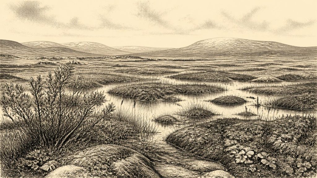
Around 30,686 BCE, Ireland lay within the fluctuating cold conditions of late MIS 3, not a date recoverable as an annual history. At Derryvree near Maguiresbridge, freshwater silts, organic mud and tundra vegetation between glacial tills show a locally ice-free wetland interval, radiocarbon dated broadly to 36,900–31,700 calibrated years BP. Mosses, sedges, aquatic plants and insects indicate cold, treeless but living habitats. Castlepook Cave preserves varied cold-stage fauna, including mammoth, reindeer and predators, although its mixed deposits cannot represent one moment. A possibly cut-marked reindeer bone suggests, but cannot prove, an early human visit. Later glaciation erased much earlier evidence.
Dateline
Modern calendar precision cannot be recovered for Ireland in 30,686 BCE. The label is useful only as a point of reference: expressed in the archaeological convention of “before present”, with present fixed at AD 1950, it falls about 32,635 calendar years BP. No Irish community is known to have used a calendar here, and there are no written records, settlements or securely dated events that can be assigned to this individual year. The responsible account is therefore of a broad Late Pleistocene interval, using deposits, fossils and radiocarbon ranges to describe conditions that may illuminate Ireland around this nominal date.
A Date Within a Long Cold Phase
This was late Marine Isotope Stage 3 (MIS 3), part of the last Ice Age. In Irish Quaternary terminology it belongs to the Middle Midlandian, an era of sharp climatic fluctuation before the greatest expansion of the last British–Irish Ice Sheet. It was not a single, uniformly frozen Ireland. Ice margins advanced and retreated over long timescales; local relief, drainage and distance from the sea mattered. The ice-sheet maximum, conventionally placed much later, broadly between 26,500 and 19,000 years ago, still lay ahead. Yet glacial conditions already shaped the island’s soils, waterways, vegetation and possibilities for animal movement.
The best Irish environmental evidence close to this point comes from Derryvree townland near Maguiresbridge, County Fermanagh. Roadworks in 1969 cut through a drumlin and exposed a striking sequence: thick glacial till below, freshwater silts and fine sands with organic material in the middle, and another body of glacial sediment above. Till is the unsorted mixture of clay, stones and debris laid down directly by glacier ice. The order of these layers is compelling evidence for change at this particular place: ice had affected the ground; a period followed in which fresh water and plants accumulated sediment; and a later glacial advance sealed the deposit.
Organic material from the moss-rich mud produced the radiocarbon determination BIRM-166, 30,500 radiocarbon years BP, with a substantial uncertainty of +1,170 and −1,030 years. A radiocarbon age is not identical to a calendar age, because atmospheric carbon-14 has varied through time. Published calibration discussions place this deposit broadly around 36,900–31,700 calibrated years BP. Thus 30,686 BCE lies within the wide chronological window represented by Derryvree, not at a date that can be pinned to an individual sediment layer, season or event. The breadth of the range is not an inconvenience to be ignored; it is central to what the evidence can honestly say.
Fresh Water Between the Tills
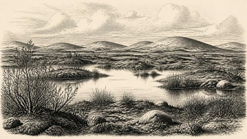
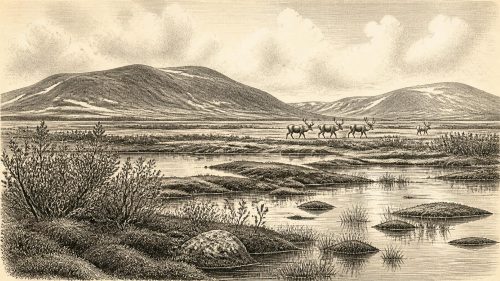
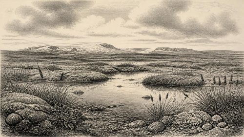
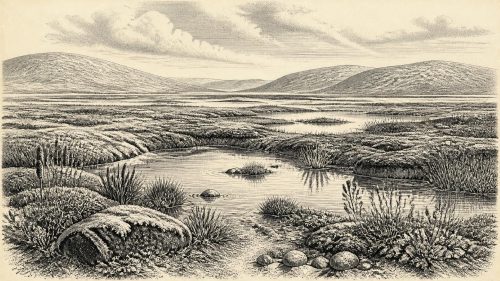
Derryvree offers an unusually vivid glimpse of a locally ice-free part of northern Ireland during a cold phase. Its plants and small animal remains point to open, wet, treeless ground rather than woodland. Mosses, sedges and hardy herbs occupied saturated margins; fossil remains of bogbean, water-milfoil, dwarf willow, mountain-avens and lesser clubmoss reveal a mixture of shallow or slow-moving fresh water, marshy ground and exposed cold-country vegetation. Insect evidence likewise supports a periglacial environment. “Periglacial” does not simply mean buried under ice: it describes ground strongly affected by cold, frost and seasonal thaw around glacial regions.
The landscape should not be imagined as featureless white wilderness. The freshwater deposit records a working ecosystem. Water carried fine sediment into a basin; aquatic plants grew in it; mosses and sedges rooted along its margins; insects found niches in water and on land. During the warmer part of a short growing season, such places could have formed patches of food and shelter for animals. Severe winters, frozen ground and restricted plant growth would nevertheless have imposed stringent limits. This was not the green, wooded Ireland of later millennia, nor was it an environment capable of supporting farming, permanent villages or the familiar landscapes of fields and hedges.
Evidence from one Fermanagh basin cannot provide a map of the entire island. Derryvree tells us that this locality supported freshwater and tundra-like vegetation during the interval represented by its deposits. It does not demonstrate that all of Ireland was ice-free, wetland or inhabited at the same moment. The later ice sheet eroded, reworked and buried many earlier landscapes, leaving a fragmentary archive. That destruction is one reason why deep Irish prehistory has so few sites and why reconstructions of pre-Last Glacial Maximum ice cover remain subject to revision.
Animals at the Atlantic Edge
County Cork’s Castlepook Cave, near Doneraile, provides a complementary but more complicated record. Its old collections and cave deposits have yielded remains of mammoth, giant deer, reindeer, brown bear, wolf, Arctic fox, mountain hare, lemmings and spotted hyaena. Modern redating has shown that some Castlepook fauna belongs much earlier than older measurements suggested, within MIS 3. The cave therefore establishes that Ireland was reached, at different times within this long period, by a varied cold-stage fauna with clear links to the wider north-west European world.
That list must be handled carefully. Cave bone assemblages are not census lists of a single living landscape. Carnivores may drag prey into dens; animals can die in caves or fall into openings; water may move bones; nineteenth- and early twentieth-century excavation methods removed much of the original stratigraphic context. The mammals do not prove that every species lived together, beside Derryvree, or in 30,686 BCE itself. They do, however, show that open habitats and changing corridors could sustain large herbivores and formidable predators in Ireland before the later, more extensive glaciation transformed the country again.
One reindeer femur from Castlepook has special importance. It bears a deep modification interpreted by researchers as a possible cut or chop mark made while the bone was fresh, perhaps with a stone tool. If that interpretation is confirmed, it would be evidence that people processed a reindeer in Ireland roughly 33,000 years ago, far earlier than the well-established terminal-Pleistocene human trace from Alice and Gwendoline Cave in County Clare. But it is a single object from an old, disturbed cave collection, not a hearth, camp, tool assemblage or burial. It cannot establish a continuous human population, a settlement, a hunting territory or a route of arrival. The possibility of an Upper Palaeolithic visit is significant; certainty about its scale is not yet warranted.
No Recoverable Society
There is no direct Irish evidence from this interval for political authority, diplomacy, warfare, named peoples or territorial boundaries. Nor is there evidence for houses, clothing, language, religion, visual art, formal learning, trade or exchange. It would be tempting to borrow the rich record of Upper Palaeolithic communities in France, Iberia or central Europe and place comparable societies in Ireland. That would be analogy, not evidence. Even if people did reach Ireland, the surviving Irish record cannot identify their group size, kinship, beliefs, social rules or length of stay.
The same restraint applies to economy and everyday life. There was no agriculture, animal husbandry, pottery or metalworking. Any human visitors would necessarily have depended on immediate knowledge of weather, animal behaviour, fuel, shelter and workable stone, but this is an inference from hunter-gatherer lifeways elsewhere rather than a documented Irish economy. Reindeer and other large mammals may have been attractive prey or scavenging opportunities, yet the evidence does not demonstrate organised seasonal hunting on the island. There is also no basis for describing commerce across the Irish Sea or diplomatic contacts with Britain and continental Europe.
Changing Land and Sea
The wider geography was unlike that of modern Ireland. Global sea level was lower during the Ice Age, exposing parts of the continental shelf and altering the shape of coasts, estuaries and channels. This increased ecological connectivity across north-west Europe, helping to explain how cold-adapted animals reached Ireland during favourable intervals. It does not, however, prove a permanent dry land bridge, or a straightforward human route, at this particular date. Ice, sea, rivers and exposed ground changed repeatedly; any passage into Ireland would have depended on conditions that cannot be reconstructed year by year.
The major historical development around this point was environmental instability. At Derryvree, fresh water and marsh vegetation existed after one phase of glacial influence and before another. Across Ireland, the advance towards the Last Glacial Maximum would later remodel valleys, scour bedrock, redistribute sediment and destroy or conceal habitats. The wetland lens beneath the drumlin is valuable precisely because it escaped complete obliteration. It preserves evidence of a cold but living landscape at the Atlantic fringe: pools, mosses, low plants, insects and, elsewhere in Ireland, mobile herds and predators.
For 30,686 BCE, then, Ireland has no recoverable annual chronicle. There is no battle, ruler, treaty or foundation to record. What survives is more elemental: freshwater sediment trapped between tills at Derryvree; a fauna assembled in Castlepook Cave; and a disputed marked reindeer bone that keeps open the question of very early human presence. Together they reveal not an empty island, nor a known society, but a dynamically changing Pleistocene environment whose sparse archives set firm limits on imagination while enlarging Ireland’s deepest past.
Source References
Hover over a number to see the source. Select it to open the source.

- [1] A Middle Midlandian Freshwater Series at Derryvree, Maguiresbridge, County Fermanagh, Northern Ireland
- [2] A Reconsideration of the Radiocarbon Dating of the Marine Isotope Stage 3 Fauna from Southern Ireland
- [3] New Insights on the Fauna of Ireland's Younger Dryas and Early Holocene from Alice & Gwendoline Cave
- [4] First Evidence of a Late Upper Palaeolithic Human Presence in Ireland
- [5] On the Cave of Castlepook, Near Doneraile, Co. Cork
- [6] The Exploration of Castlepook Cave, County Cork
- [7] Occurrence of Mammalia Relicts at Site Castlepook Cave
- [8] The Irish Quaternary Fauna Project
- [9] Figure 6: The Subdivision of the Quaternary Period in Ireland
- [10] Cenozoic: Tertiary and Quaternary
- [11] Growth, Dynamics and Deglaciation of the Last British-Irish Ice Sheet: the Deep-Sea Ice-Rafted Detritus Record
- [12] Late Pleistocene Chronostratigraphy and Ice Sheet Limits, Southern Ireland
- [13] Dimensions and Chronology of the Last Ice Sheet in Western Ireland
- [14] Exploring Controls of the Early and Stepped Deglaciation on the Western Margin of the British-Irish Ice Sheet
- [15] Reconstruction and 36Cl Based Geochronology of the Deglaciation of Central Ireland
- [16] The IntCal20 Northern Hemisphere Radiocarbon Age Calibration Curve (0–55 cal kBP)
- [17] BSBI: Menyanthes trifoliata
- [18] BSBI: Salix herbacea
- [19] BSBI: Dryas octopetala
- [20] BSBI: Myriophyllum alterniflorum
- [21] BSBI: Selaginella selaginoides
- [22] Castlepook Cave, Co. Cork, 2022
Primary Sources
- A Middle Midlandian Freshwater Series at Derryvree, Maguiresbridge, County Fermanagh, Northern Ireland
- A Reconsideration of the Radiocarbon Dating of the Marine Isotope Stage 3 Fauna from Southern Ireland
- New Insights on the Fauna of Ireland's Younger Dryas and Early Holocene from Alice & Gwendoline Cave
- First Evidence of a Late Upper Palaeolithic Human Presence in Ireland
- On the Cave of Castlepook, Near Doneraile, Co. Cork
- The Exploration of Castlepook Cave, County Cork
- Occurrence of Mammalia Relicts at Site Castlepook Cave
- The Irish Quaternary Fauna Project
- Figure 6: The Subdivision of the Quaternary Period in Ireland
- Cenozoic: Tertiary and Quaternary
- Growth, Dynamics and Deglaciation of the Last British-Irish Ice Sheet: the Deep-Sea Ice-Rafted Detritus Record
- Late Pleistocene Chronostratigraphy and Ice Sheet Limits, Southern Ireland
- Dimensions and Chronology of the Last Ice Sheet in Western Ireland
- Exploring Controls of the Early and Stepped Deglaciation on the Western Margin of the British-Irish Ice Sheet
- Reconstruction and 36Cl Based Geochronology of the Deglaciation of Central Ireland
- The IntCal20 Northern Hemisphere Radiocarbon Age Calibration Curve (0–55 cal kBP)
- BSBI: Menyanthes trifoliata
- BSBI: Salix herbacea
- BSBI: Dryas octopetala
- BSBI: Myriophyllum alterniflorum
- BSBI: Selaginella selaginoides
- Castlepook Cave, Co. Cork, 2022