Hyaena Hall’s Reindeer31824 BCE
31,824 BCE is not a recoverable historical year but a point within unstable Marine Isotope Stage 3, before the Last Glacial Maximum. Ireland’s ice, coastlines and possible routes from Britain changed regionally, while evidence is fragmentary. Derryvree, County Fermanagh, preserves older deposits showing treeless, wet tundra with sedges, pools and cold-adapted life. Castlepook Cave, County Cork, yielded mammoth, reindeer, giant deer, bear and Ireland’s only spotted hyaena remains, though its bones span different periods. An incised reindeer femur may indicate human butchery, but lacks secure context. No settlements, tools, institutions or beliefs can be identified; research may clarify human presence.
Dateline
“31,824 BCE” is a modern chronological label, not a year that anyone in prehistoric Ireland could have named or recorded. It falls roughly 33,770 years before the conventional radiocarbon reference year of 1950, but archaeology cannot isolate a political event, a particular season, or even a securely identified generation on the island at that precision. The responsible setting is the later part of Marine Isotope Stage 3 (MIS 3), an unstable interval of the last Ice Age before the Last Glacial Maximum. Evidence is sparse, unevenly dated and often recovered from caves excavated long ago. It can illuminate an Ice-Age environment and the possibility of fleeting human activity; it cannot furnish a conventional annual history.
Before the Ice Sheet’s Maximum
Ireland was not yet at the fullest extent of the last British–Irish Ice Sheet. Earlier syntheses place the broad build-up of that ice sheet after about 35,000–32,000 years ago, with its maximum extent later, broadly around 27,000–21,000 years ago. More recent work has stressed that growth was regionally uneven and that evidence for pre-maximum ice is difficult to reconcile into one simple island-wide map. Thus it would be misleading to imagine either a wholly ice-covered Ireland or a uniformly open land in this nominal year. Ice margins, frozen ground, snow cover and drainage conditions changed across relatively short geological timescales.
The landscape known to geology was profoundly unlike modern Ireland. Repeated glacial action had already stripped, moved and buried sediments; subsequent advances would further erode the evidence. Valleys, limestone cave systems and lowland basins were potential repositories for bones, silts, pollen and plant remains, but also places where water, frost, scavengers and later excavation could mix material from different moments. This is why a fossil’s presence in a cave does not by itself prove where an animal died, how it entered, or whether people occupied the cave.
Sea level was far lower than today because much water was locked in northern ice sheets, altering the outlines of coasts and shelves. Yet lower sea level alone does not settle the question of access to Ireland. Palaeogeographers have long debated when, where and whether dry or partly dry connections existed between Ireland and Britain. Models for the later Last Glacial Maximum commonly show much more exposed terrain, while other work warns that local crustal movement, ice and water depths made any route contingent and short-lived. For this much earlier MIS 3 setting, a firm route for people or animals should not be asserted from sea-level change alone.
A Tundra Archive in Fermanagh
The clearest Irish environmental evidence relevant to this wider cold-stage world comes not from a settlement but from buried deposits. At Derryvree near Maguiresbridge, County Fermanagh, roadworks exposed freshwater silts and fine sands between glacial tills. Their radiocarbon age, 30,500 ± c.1,000 radiocarbon years BP, calibrates broadly to about 37,200–35,700 calendar years BP. That range predates the nominal year here, so it must not be presented as a snapshot of 31,824 BCE. It nevertheless provides important evidence for the kind of Middle Midlandian environment that could occur in Ireland during this general phase of the last glaciation.
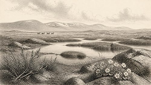
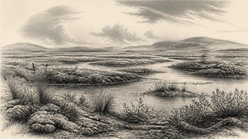
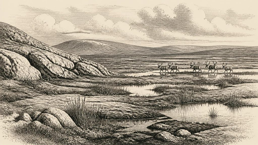
Pollen, mosses, plant macrofossils and invertebrate evidence at Derryvree indicate open tundra or muskeg: wet, sedge-rich ground with pools, sparse dry-land vegetation and a periglacial climate. The record does not support a forested Ireland. A few tree pollen grains may have travelled far or been redeposited; they are not proof that woodland stood beside the basin. The strongest observation is of treeless, cold-adapted wetland vegetation. Such places could have been seasonally productive for grazing animals and birds, while remaining exposed, windswept and difficult country for human travellers.
This environmental reconstruction has a regional limit. Derryvree lay in the north-western part of the island and represents a particular basin over a dated interval, not every shore, upland or limestone plateau. Nonetheless, it is a useful corrective to the empty-white-map image often attached to the Ice Age. Even in cold stages, ice-free or lightly vegetated zones could contain water, plants, insects and animals. They were ecosystems, though not landscapes that supported farming villages or the dense woods familiar from later prehistory.
Castlepook’s Mixed Bone Record
County Cork provides the most evocative, and most contested, evidence. Castlepook Cave near Doneraile—also known as Mammoth Cave—produced an important collection during antiquarian excavations in the early twentieth century and later work. Its Pleistocene fauna includes woolly mammoth, reindeer, giant deer, brown bear and spotted hyaena. Spotted hyaena is especially significant: Castlepook remains the only Irish site currently known to have yielded it. Bones and tooth-marked material show that large scavenging carnivores used, or affected material entering, this karst landscape.
Radiocarbon reassessment has shown why the collection requires care. Improved pretreatment of bone samples produced dates considerably older than some earlier determinations and demonstrated that material assigned to a single cave context may not share one age. Faunal remains from Castlepook span a substantial part of MIS 3, rather than forming a neatly sealed deposit from one episode. A reindeer bone date tells us when that animal lived and died within a calibrated probability range; it does not automatically date a human action, a cave occupation or the entire assemblage.
One reindeer femur has nevertheless transformed discussion of early Ireland. A deep incision on it has been interpreted by Ruth Carden as a cut made with a sharp stone tool during carcass processing. County Cork heritage material consequently identifies the object as possible evidence that Palaeolithic hunters handled reindeer in the Doneraile area around 31,000 BCE. If the interpretation is confirmed, it would be extraordinarily important: human activity in Ireland would extend far earlier than the previously secure terminal-Pleistocene evidence from County Clare.
The conclusion must remain deliberately modest. The femur originated in an old collection, not an intact modern excavation of a camp floor. There is no securely associated hearth, dwelling, stone-tool assemblage, burial, butchered bone concentration or dated occupation surface of comparable age. A cave can function as a carnivore den, trap, water channel and sediment store as well as a human shelter. The mark is evidence for a specialist assessment of surface modification; it is not an excavated hunting scene. The most that can responsibly be said is that a reindeer carcass may have been cut with a lithic edge by one or more people during the wider MIS 3 period.
Animals, Movement and Survival
The animals represented at Castlepook make better evidence for ecology than for a complete local food web. Reindeer imply open, cold-adapted terrain and seasonal mobility; mammoth, giant deer and hyaena indicate that Ireland could at times sustain or receive large mammals whose ranges are now continental memories. Their coexistence in museum collections does not prove they all met in one valley in one year. Different species may belong to different phases, and bones could have been transported before burial. Still, the assemblage decisively rejects any notion that Ice-Age Ireland was biologically vacant.
If people did reach the island, their presence was probably intermittent and small in scale. A group able to obtain or process a reindeer carcass would have required knowledge of animal movements, sharp stone edges and the practical skills of cold-weather travel. Those are reasonable inferences from Upper Palaeolithic lifeways elsewhere in north-west Europe, but they are not directly documented in Ireland by a camp, toolkit or house. It cannot be established whether hunters crossed during a particular season, followed herds, scavenged an already-dead animal, or returned repeatedly.
There is no evidence at this date for settled communities, agriculture, herding, pottery, metalworking or managed landscapes. Food production lay tens of millennia in the future. Nor can archaeology identify trade routes. Flint and other stone might have travelled with mobile people, but no securely dated Irish lithic assemblage demonstrates an exchange network around this point. The appropriate economic vocabulary is therefore subsistence and mobility, not farming, markets or commerce.
No Kings, No Borders, No Recorded Faith
Political affairs cannot be reconstructed. There were no Irish kingdoms, dynasties, frontiers, treaties or diplomatic institutions that can be identified from evidence of this antiquity. Nor is there archaeological basis for describing warfare, leadership ranks or territorial claims. Hunting animals and crossing a difficult landscape necessarily involved social cooperation, but the size, organisation and language of any human party are unknown. To supply named peoples or political structures would be invention.
The same restraint applies to religion, culture and learning. There are no recognised Irish cave paintings, formal burials, portable artworks, ritual deposits or inscriptions demonstrably belonging to this period. An incision on a reindeer bone is potentially evidence of practical butchery, not symbolic art. Knowledge certainly existed wherever people travelled: knowledge of weather, animal behaviour, stone and safe routes is indispensable to survival. Yet its content can only be inferred generally from human capability, not recovered as an Irish intellectual tradition.
For Ireland around this nominal date, the principal historical development is therefore environmental rather than institutional. The island lay within a changing north-west European Ice-Age world, approaching a more severe glacial maximum. Derryvree preserves a dated image of cold wet tundra within the broader period; Castlepook preserves a remarkable but complicated record of large animals and a possible humanly modified reindeer bone. Together they reveal an inhabited ecological frontier in the broad sense, while leaving unanswered the question most tempting to ask: whether people were actually present in Ireland in this exact notional year.
That uncertainty is not a failure of the evidence. It is the evidence’s central lesson. Ireland’s deep past survives in layers, dates and bones rather than chronicles. Future controlled excavation at Castlepook, improved dating, microscopic study of bone surfaces and recovery of securely stratified tools may strengthen, qualify or overturn present interpretations. Until then, 31,824 BCE should be understood not as a dated episode in a national narrative, but as a point within a long, cold and only partly visible Ice-Age landscape.
Primary Sources
- A reconsideration of the radiocarbon dating of the Marine Isotope Stage 3 fauna from southern Ireland
- The Irish Quaternary Fauna Project
- Growth and retreat of the last British–Irish Ice Sheet, 31,000 to 15,000 years ago: the BRITICE-CHRONO reconstruction
- Pattern and timing of retreat of the last British-Irish Ice Sheet
- Extent and timing of the Last Glacial Maximum in Britain and Ireland: a review
- The timing and magnitude of the British–Irish Ice Sheet between Marine Isotope Stages 5d and 2
- Trimlines, blockfields and the vertical extent of the last ice sheet in southern Ireland
- Maximum extent and dynamic behaviour of the last British–Irish Ice Sheet west of Ireland
- Palaeoecology
- Figure 6.— The subdivision of the Quaternary Period in Ireland
- Quaternary Site Descriptions
- 2022:564 – Castlepook Cave, Castlepook South, Cork
- Heritage Artefacts of County Cork
- New insights on the fauna of Ireland’s Younger Dryas and Early Holocene from Alice & Gwendoline Cave
- The problem of a late Quaternary landbridge between Britain and Ireland
- Deglaciation, Earth crustal behaviour and sea-level changes in the determination of insularity: A perspective from Ireland
- Ireland: Submerged Prehistoric Sites and Landscapes
- Land-bridge, relative sea-level change and palaeogeography of Ireland and Britain
- Occurrence of mammalia relicts at site Castlepook Cave
- Exhibition Galleries: National Museum of Ireland – Natural History
- Classroom Activity: Ice Age Ireland – Cool Fossils