Derryvree’s Tundra Seed30638 BCE
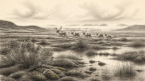
Although 30,638 BCE cannot identify a specific Irish event, Derryvree, County Fermanagh, records a later Marine Isotope Stage 3 ice-free interval. Freshwater sediments, bracketed by glacial tills and radiocarbon dated to about 30,500 BP, preserve tundra wetland plants, insects and pollen, indicating treeless, seasonal landscapes of pools, sedges and hardy shrubs. Faunal remains elsewhere, notably Castlepook Cave, show that mammoth-steppe animals, including reindeer, sometimes reached Ireland, but provide no population census. A possibly cut-marked reindeer bone suggests early human visits, not settlement. Subsequent ice buried Derryvree, foreshadowing the expanding glaciation that later profoundly reshaped Ireland during the Last Glacial Maximum.
Dateline
Modern calendar precision cannot responsibly be applied to Ireland in 30,638 BCE. This numbered year is a convenient point in a much longer Ice Age interval, not a date at which a recorded Irish event occurred. It falls broadly within the later part of Marine Isotope Stage 3, a period of abrupt climatic oscillation before the Last Glacial Maximum. The evidence does not permit a narrative of named communities, rulers or incidents. It does, however, permit a closely grounded account of an Irish landscape in which cold-climate wetlands, tundra plants and large mammals existed during intervals between advances of ice.
Dates Measured in Ranges
The closest exceptionally informative Irish archive is at Derryvree, near Maguiresbridge in County Fermanagh. Roadworks in 1969 cut through a drumlin and revealed a remarkable sequence: a lower glacial till, freshwater silts and fine sands containing organic remains, and an upper till. The order of events is clear. Ice deposited the lower till; later, in an ice-free local interval, water and sediment accumulated in a hollow; subsequently, another ice advance sealed the deposit beneath fresh glacial material.
Organic material from the freshwater beds produced the conventional radiocarbon determination Birm-166: 30,500 radiocarbon years before present, with a large uncertainty of +1,170/−1,030 years. In radiocarbon usage, “present” means AD 1950. That result is not equivalent to 30,500 calendar years ago, and it cannot be converted into one exact BCE year. Calibration against changing atmospheric radiocarbon levels produces broad probability ranges, especially at this depth of time. Derryvree therefore illuminates conditions across a substantial part of the later thirty-fifth to thirty-third millennia before present, rather than conditions on one particular day, season or year.
The relationship between the deposit and 30,638 BCE should consequently be stated with care. Derryvree is a nearby chronological and environmental guide to the wider interval, not proof that its pond was open, or its plants growing, in that exact calendar year. This distinction matters because the Irish record is sparse, its surviving deposits are discontinuous, and later glaciers removed or disturbed much of what once existed.
A Wet Hollow Between Ice Advances
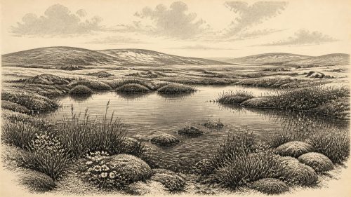
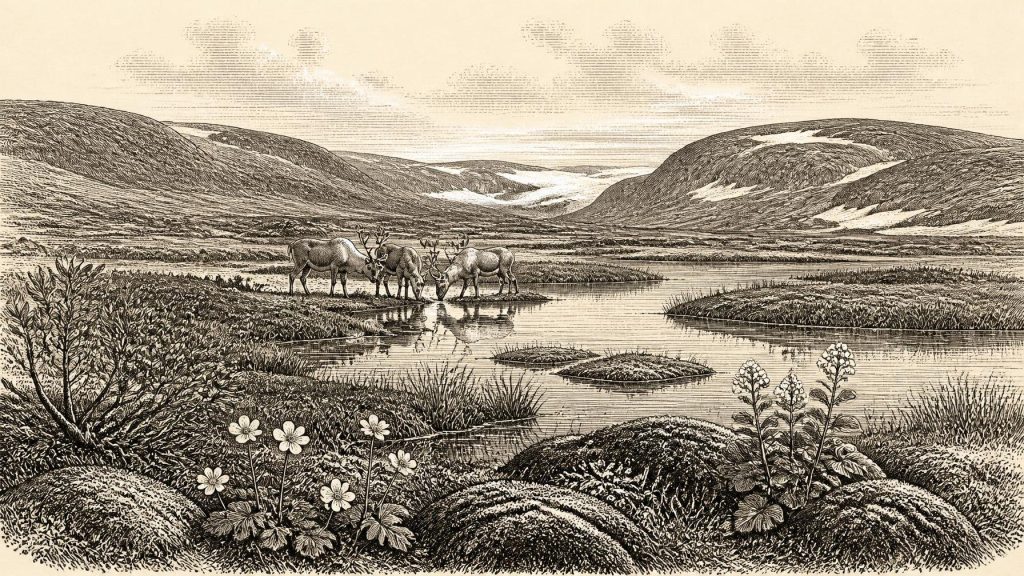
Derryvree’s value lies in its combination of stratigraphy and biological remains. The organic silts preserve a freshwater environment in a landscape otherwise known largely through glacial deposits. Mosses, sedges, grass pollen, dwarf shrubs and herbs point to open, treeless vegetation. Finds cited from the assemblage include mountain-avens, bogbean, water-milfoil, dwarf willow, juniper and other plants capable of surviving short growing seasons, cold ground and exposed conditions. Insects reinforce the picture of a northern, periglacial setting with wet ground, plant litter and small pools.
This was not a featureless white desert. The evidence supports a patchwork of shallow water, mossy margins, sedge-rich ground, damp organic mud and drier stony tundra beyond. In favourable summer weeks, low-growing plants could flower, insects could breed and water plants could occupy open pools. Yet the absence of woodland is important: there is no basis for imagining the familiar wooded Ireland of the Holocene. Winters were severe, and the ground was likely affected by seasonal freezing and thawing. The older term “muskeg”, used by researchers for the Derryvree setting, usefully conveys a cold, waterlogged mosaic rather than a modern raised bog.
Such a wetland was also local. It should not be expanded uncritically into a map of the whole island. Elevation, drainage, proximity to ice and the shifting paths of cold winds could create markedly different habitats over relatively short distances. The drumlin itself is evidence of powerful glacial processes before and after the freshwater episode. What Derryvree securely demonstrates is that part of northern Ireland was ice-free long enough for a functioning freshwater ecosystem to develop before later ice buried it.
Animals on the Cold Plain
Irish cave and open-air faunal evidence supplies the broader animal context, though it is uneven in date and preservation. At Castlepook Cave near Doneraile in County Cork, old excavations recovered remains of woolly mammoth, reindeer, spotted hyaena, brown bear, wolf or fox, hare, lemmings and giant deer. Direct dating and later reassessment show that some bones belong to periods before the Last Glacial Maximum, while also demonstrating why cave collections need caution: animals, carnivores, water movement and early excavators all mixed material accumulated over long spans.
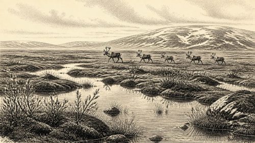
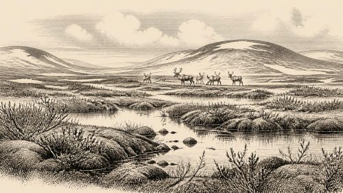
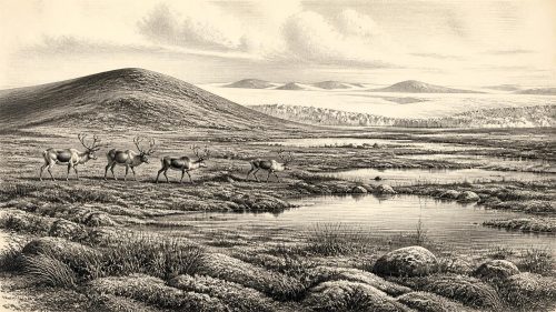
The presence of mammoth and reindeer remains establishes that Ireland could at times support, or receive, elements of the mammoth-steppe fauna familiar from north-west Europe. Reindeer in particular suit an open, productive but intensely seasonal terrain. Their movements need not have followed modern geographical boundaries, because coastlines and sea levels differed greatly from those of today. Nevertheless, no single bone assemblage proves a continuous resident herd in every region, still less a stable island-wide ecosystem. It records animal presence, not a census.
Predators also complicate the picture in a useful way. Hyaenas and other carnivores could carry bones into caves; water could redeposit them; scavenging and frost could alter surfaces. Consequently, the animal record is strongest when used to identify possible habitats and ecological connections, rather than when pressed into overly exact stories of individual hunts or migrations. The chief conclusion remains striking enough: Ireland was not biologically empty throughout this part of the last glacial cycle.
The Uncertain Human Question
Human affairs are the least secure aspect of this date. Castlepook has produced a reindeer femur, reported as roughly 33,000 years old, bearing a deep mark interpreted by zooarchaeologist Ruth Carden as a possible cut or chop made with a sharp stone tool during carcass processing. If that interpretation is confirmed, it would indicate a human encounter with an animal in pre-Last Glacial Maximum Ireland and would push Irish evidence for people much further back than the securely established Mesolithic settlement record.
For 30,638 BCE, however, this cannot responsibly be turned into a settled population, a camp at Castlepook, a named culture or a continuous occupation. The bone’s age is not the exact date of the mark; its old excavation context is disturbed; and one modified specimen cannot reveal population size, language, kinship, territory or a route into Ireland. No contemporary dwelling floor, hearth, stone-tool assemblage, burial, art site or repeated settlement sequence has yet been demonstrated for this Irish interval.
The cautious interpretation is therefore that brief human visits remain possible and scientifically important, but unproven as a sustained presence. If people did reach Ireland in this cold phase, they would have been highly mobile hunter-gatherers operating within the broader Upper Palaeolithic world of north-west Europe. Their subsistence might plausibly have included large game and opportunistic use of animal carcasses, but this is an inference from comparative archaeology, not direct evidence from Derryvree or a confirmed Irish camp.
No Politics, but Powerful Constraints
There is no evidence for political institutions, diplomacy, warfare, formal religion, trade networks or learned traditions in Ireland at this point. It would be misleading to fill those silences with later Gaelic ideas, Celtic labels or assumptions drawn from farming societies thousands of years in the future. The available record concerns climate, sediment, plants and animal bone. Even the evidence for people is presently too slight to support claims about social organisation or belief.
That silence is itself historically meaningful. Everyday life, if humans were present at all, would have been governed above all by weather, animal movement, safe routes, fuel, shelter and access to fresh water. Any exchange with neighbouring regions would have depended on changing exposed shelves, sea crossings, ice margins and seasonal mobility. These are environmental possibilities, not documented commercial or diplomatic relations.
Approaching a Larger Glaciation
The broader trajectory was towards more extensive ice-sheet growth. The Last Glacial Maximum reached its principal expression later, broadly around 26,500–19,000 years ago globally, with regional Irish advances and retreats varying in timing. Offshore and terrestrial reconstructions show that the British–Irish Ice Sheet eventually extended far beyond modern Irish coasts in several sectors. At Derryvree, the upper till is physical evidence that the local freshwater refuge did not endure indefinitely.
For this reason, Derryvree is both an environmental archive and a lesson in survival of evidence. A small wetland happened to be buried beneath later sediment, preserving seeds, mosses, pollen and insects that erosion might otherwise have erased. Around 30,638 BCE, Ireland’s best-supported story is not one of kingdoms or monuments. It is the story of a cold, open land, intermittently freed from ice, where shallow water and hardy plants briefly made a living landscape beneath an increasingly glacial sky.
Primary Sources
- A Middle Midlandian Freshwater Series at Derryvree, Maguiresbridge, County Fermanagh, Northern Ireland
- Early Midlandian–Middle Midlandian, Pleistocene, Northern Ireland
- Irish Pleistocene Biostratigraphy
- Figure 6.— The Subdivision of the Quaternary Period in Ireland
- The Irish Quaternary Fauna Project
- A Reconsideration of the Radiocarbon Dating of the Marine Isotope Stage 3 Fauna from Southern Ireland
- New Insights on the Fauna of Ireland’s Younger Dryas and Early Holocene from Alice & Gwendoline Cave
- Archaeological Excavations at Killuragh Cave, Co. Limerick: A Persistent Place in the Landscape from the Early Mesolithic to the Late Bronze Age
- Dimensions and Chronology of the Last Ice Sheet in Western Ireland
- Reconstructing the Last Irish Ice Sheet 2: A Geomorphologically-Driven Model of Ice Sheet Growth, Retreat and Dynamics
- Last Glacial Maximum Cirque Glaciation in Ireland and Implications for Reconstructions of the Irish Ice Sheet
- Sedimentology and Chronology of the Advance and Retreat of the Last British-Irish Ice Sheet on the Continental Shelf West of Ireland
- The Deglaciation of the Western Sector of the Irish Ice Sheet from the Inner Continental Shelf to its Terrestrial Margin
- Stratigraphic and Palaeo-Geomorphological Evidence for the Glacial-Deglacial History of the Last British-Irish Ice Sheet in the North-Western Irish Sea
- Timing and Pace of Ice-Sheet Withdrawal Across the Marine–Terrestrial Transition West of Ireland During the Last Glaciation
- The Timing and Magnitude of the British–Irish Ice Sheet Between Marine Isotope Stages 5d and 2
- Exploring Controls on the Last Glacial Cycle of the British–Irish Ice Sheet
- Menyanthes trifoliata
- Dryas octopetala
- Myriophyllum alterniflorum