The Derryvree Bogbean Bed30654 BCE
30,654 BCE is a modern label within a broad Late Pleistocene range, not a date for recorded Irish events. Roadworks at Derryvree, County Fermanagh, exposed freshwater sediments between glacial tills, proving a cold, locally ice-free interval with pools, sedges, mosses, bogbean and insects. Comparable northern deposits confirm fluctuating Midlandian glaciation, without establishing island-wide conditions. Lower sea levels connected Ireland ecologically to north-west Europe, though routes varied. Castlepook Cave, County Cork, preserves cold-adapted mammals, including mammoth, reindeer and hyaena. A cut-marked reindeer bone may indicate Upper Palaeolithic butchery, but cannot demonstrate settlement, population, society or beliefs with certainty at this horizon.
Dateline
30,654 BCE is a modern chronological label, not a year for which Ireland preserves an event, a ruler, a settlement diary or even a securely datable human lifetime. At this depth in time, calendar-year precision is unavailable. The label corresponds approximately to 32,603 years before AD 1950, the conventional archaeological “present”, and belongs to the Late Pleistocene, within Marine Isotope Stage 3. The responsible history is therefore a broad, evidence-led reconstruction of Ireland during a changing Ice Age, not an account of one particular season or generation.
The best Irish evidence relevant to this horizon comes from a small locality in County Fermanagh rather than from a monument or inhabited camp. At Derryvree, near Maguiresbridge, roadworks cut through a drumlin in 1969 and exposed freshwater deposits trapped between two thick beds of till, the unsorted sediment left directly by glacier ice. The discovery showed a clear sequence: ice had first occupied the site; then a period without local glacier cover allowed water, sediment and living organisms to accumulate; later ice sealed the deposits beneath a further till sheet.
A Date Range, Not a Date
Organic material from the Derryvree freshwater series produced the radiocarbon determination BIRM-166, conventionally reported as 30,500 radiocarbon years before present, with an uncertainty of a little over a millennium. A radiocarbon age is not a calendar date. Atmospheric carbon-14 levels have varied greatly through time, especially during the last Ice Age, so such measurements must be calibrated against independently dated records. Modern calibration places the Derryvree horizon broadly within about 36,900–31,700 calibrated years before present, approximately 34,950–29,750 BCE. The nominal year 30,654 BCE lies within that broad span, but it cannot be attached to one layer, pool, animal or episode in the deposit.
This is more than a technical warning. The Fermanagh evidence offers a securely ordered local environmental history, but it is not a photograph of the whole island. It demonstrates that the Derryvree locality experienced a cold, non-glacial interval between episodes of glaciation. It does not prove that every region of Ireland was ice-free at the same moment, nor that conditions stayed unchanged throughout thousands of years represented by the calibrated range. Ireland’s ice margins, coastlines, vegetation and animal populations were mobile features in a climate that repeatedly altered on scales far shorter than traditional historical periods.
Fresh Water Beneath the Drumlin
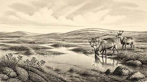
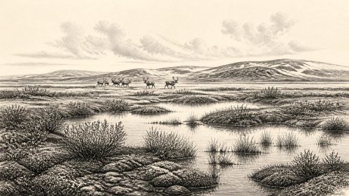
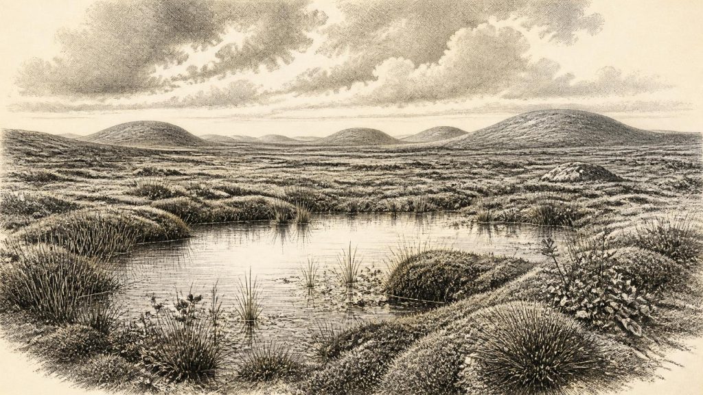
What did Derryvree preserve? Fine sands, silts and organic deposits accumulated in freshwater conditions. Plant remains included mosses and sedges, alongside aquatic and wet-ground species such as bogbean, the three-leaved plant that gives this article its title. Fossil insects indicated a cold northern environment. Together these remains point to shallow water, wet margins and open ground rather than the dense temperate woodland familiar in modern Ireland. Water and vegetation could persist in protected basins even amid a wider landscape shaped by frost, sparse cover and nearby ice.
That environment should not be imagined as a featureless white wilderness. The evidence instead suggests a patchwork: pools and sedge-rich margins; saturated ground; exposed mineral soils; low plant cover; and, beyond favourable hollows, terrain vulnerable to wind, seasonal freezing and thawing. In such a setting, local variation mattered. A sheltered wetland could support plants and insects unavailable on drier, windswept slopes. Yet the term “interstadial” should not be mistaken for warm or comfortable. It identifies a relative climatic improvement or ice-free interval within a long cold stage, not a return to Holocene conditions.
Other northern Irish sequences add perspective. Inter-till organic deposits at Hollymount near Maguiresbridge, Greenagho near Belcoo, and Aghnadarragh near Lough Neagh likewise record complex environmental changes between glacial phases. Their dating and correlation remain difficult, and scholars do not treat them as a simple island-wide timetable. Nevertheless, they establish an essential point: the Midlandian cold stage was not a single, uniform blanket of ice. There were episodes and places in which freshwater ecosystems developed, only to be overridden, eroded or buried as glaciers later advanced.
An Island on an Ice-Age Frontier
Across the wider north-west European region, 30,654 BCE fell in an unstable part of the last glacial cycle, before the Last Glacial Maximum. The British–Irish Ice Sheet did not attain its later maximum extent everywhere at one instant; modern reconstructions instead show different sectors advancing, reaching maxima and retreating at different times. Evidence from western Ireland indicates that ice later extended well offshore during the Last Glacial Maximum, while research on the western shelf dates an outer-shelf ice margin to roughly 26,800 calibrated years before present. Those later events help explain why Ireland has such a broken record for the preceding millennia: advancing ice eroded older surfaces and buried surviving deposits.
At the date considered here, sea levels were much lower than today because vast quantities of water were locked in global ice sheets. Ireland’s relationship with Britain and the European mainland consequently differed from the familiar island geography of the present. But neither low sea level nor animal movement authorises a simple claim that a particular land bridge was open at 30,654 BCE. The pattern of channels, shallow seas, exposed land and ice margins changed through time. The secure conclusion is more modest: Ireland formed part of a connected or near-connected north-west European ecological zone in which large mammals and, potentially, people could move under changing conditions.
Castlepook’s Animal World
The most striking southern Irish evidence comes from Castlepook Cave, also called Mammoth Cave, near Doneraile in north County Cork. Antiquarian excavations there between 1904 and 1908 recovered a substantial Pleistocene bone collection, now including remains of woolly mammoth, reindeer, giant deer, brown bear, wolf, Arctic fox, mountain hare, lemmings and spotted hyaena. The National Museum of Ireland describes Castlepook as Ireland’s most important site for mammal remains from the last cold stage. Re-dating has shown that some old radiocarbon results from the cave were substantially too young, demonstrating both the importance of modern analytical methods and the hazards of relying uncritically on legacy dates.
This fauna indicates that parts of Ireland could support a cold-adapted community of grazers, browsers, scavengers and predators during Marine Isotope Stage 3. Reindeer are especially evocative because their presence implies open country with seasonal food resources, while hyaenas remind us that caves were not automatically human shelters. Carnivores, natural deaths, water movement and later excavation all helped create the cave assemblage. Animal bones in a cave are therefore not a straightforward list of creatures seen together on one day, nor evidence that the cave was a settled hunting camp.
A reindeer femur from Castlepook has particular importance. Zooarchaeologist Ruth Carden has interpreted a deep linear mark on it as damage made by a sharp stone tool during the processing of a fresh carcass. County Cork heritage material assigns the bone broadly to around 31,000 BCE, close to the chronological horizon considered here. If the interpretation is upheld, it is potentially Ireland’s earliest evidence that people handled an animal during the Upper Palaeolithic.
People: A Possibility, Not a Population
The Castlepook bone warrants attention precisely because the claim is so limited. It is not accompanied by a securely associated lithic assemblage, hearth, built shelter, burial, human bone, artwork or stratified camp floor. The cave collection was recovered during early twentieth-century excavations, before modern standards of context recording. Nor can a single marked limb reveal whether people killed the reindeer, butchered it at the cave, visited in a small party, remained for weeks, or returned regularly. The bone may preserve a moment of human activity; it does not demonstrate continuous occupation or a resident population across Ireland.
Accordingly, political affairs, diplomacy and organised conflict cannot responsibly be reconstructed for Ireland in 30,654 BCE. There are no named communities, territories, leaders, alliances or battle sites. Religion is equally beyond the evidence: no ritual deposits, shrines, graves or symbolic works can be assigned to this Irish horizon. Nor is there evidence for trade in the historical sense. If people did reach the island, their most plausible economy would have involved mobile hunter-gatherer subsistence, making use of animal carcasses and the seasonal resources of an open, cold landscape. That is an inference from the ecology and from wider Upper Palaeolithic lifeways, not a demonstrated Irish social system.
Culture and learning must be treated with the same restraint. The cutting of a carcass with a sharp stone implement, if that is what Castlepook records, would imply practical knowledge of tools, animal anatomy and food processing. It does not allow us to identify language, identity, kinship, artistic traditions or beliefs. No certain Irish stone tools of this age have yet been found. The absence is meaningful but not conclusive: later ice, erosion, sea-level change and the limited survival of exposed sites have all reduced the archaeological record.
What Can Be Said
Around this notional year, then, Ireland was an Ice-Age landscape in transition rather than an empty stage awaiting history. Derryvree provides firm evidence for cold freshwater life in a Fermanagh basin between glacial episodes. Castlepook provides compelling evidence for a varied cold-stage mammal community in Cork and a possible trace of human butchery. Together they reveal an Ireland shaped by ice and thaw, wetland and open ground, animal migration and ecological opportunity.
They also define the limits of knowledge. We cannot write a year-specific narrative for 30,654 BCE, name its inhabitants, or populate its landscape with imagined camps and ceremonies. The most accurate account is both richer and more cautious: a bogbean-bearing freshwater deposit beneath a Fermanagh drumlin, and a marked reindeer bone from a Cork cave, are fragile surviving witnesses to a much larger world whose human history remains only partly visible.
Primary Sources
- A Middle Midlandian Freshwater Series at Derryvree, Maguiresbridge, County Fermanagh, Northern Ireland
- Early Midlandian–Middle Midlandian, Pleistocene, Northern Ireland
- Aghnadarragh
- Clogher Valley
- Middle Midlandian Interstadial Deposits at Greenagho, Near Belcoo, County Fermanagh, Northern Ireland
- Freshwater Organic Deposits and Stratified Sediments Between Early and Late Midlandian (Devensian) Till Sheets, at Aghnadarragh, County Antrim, Northern Ireland
- Figure 6: The Subdivision of the Quaternary Period in Ireland
- The Geological Heritage of County Leitrim
- A Reconsideration of the Radiocarbon Dating of the Marine Isotope Stage 3 Fauna from Southern Ireland
- Heritage Artefacts of County Cork
- Spotted Hyena Skull
- Learn About: The Ice Age
- New Insights on the Fauna of Ireland’s Younger Dryas and Early Holocene from Alice & Gwendoline Cave
- Dimensions and Chronology of the Last Ice Sheet in Western Ireland
- Vertical Dimensions and Age of the Wicklow Mountains Ice Dome, Eastern Ireland, and Implications for the Extent of the Last Irish Ice Sheet
- Growth and Retreat of the Last British–Irish Ice Sheet, 31,000 to 15,000 Years Ago: The BRITICE-CHRONO Reconstruction
- Timing and Pace of Ice-Sheet Withdrawal Across the Marine–Terrestrial Transition West of Ireland During the Last Glaciation
- The Timing and Magnitude of the British–Irish Ice Sheet Between Marine Isotope Stages 5d and 2
- The IntCal20 Northern Hemisphere Radiocarbon Age Calibration Curve (0–55 cal kBP)
- The Archaeology of Caves in Ireland: Advice to the Public
- A North-Western Habitat: the Paleoethology and Colonisation of a European Peninsula