Glacial Reshaping30272 BCE
Although 30,272 BCE cannot identify a precise Irish event, it frames a late Marine Isotope Stage 3 environment. At Derryvree in Fermanagh, freshwater wetland sediments between glacial tills preserve evidence of treeless tundra, cold-adapted plants and locally ice-free conditions before renewed glaciation. A radiocarbon result indicates a broad earlier interval, not a date-stamped scene. Castlepook Cave in Cork produced remains of reindeer, mammoth, giant deer and predators, though mixed contexts prevent a single chronological reconstruction. A possibly tool-marked reindeer bone suggests human butchery, but no secure settlement evidence exists. Growing ice reshaped Ireland, eroding traces of earlier landscapes and occupations.
Dateline
The label 30,272 BCE gives a useful point of orientation, but it must not be mistaken for a date at which an Irish event can be placed. There was no written calendar in Ireland, no recorded population, and no archaeological sequence fine enough to distinguish one year from the next. In modern chronological terms, 30,272 BCE falls roughly 32,221 years before the radiocarbon convention’s reference year of AD 1950. That arithmetic does not produce a securely calibrated archaeological date. For this depth of time, evidence is expressed through broad calibrated ranges, stratigraphic order and environmental phases rather than annual history.
The appropriate setting is the later part of Marine Isotope Stage 3, within the last Ice Age. Ireland was approaching the major glacial expansion that would culminate in the Last Glacial Maximum, conventionally dated in Ireland to roughly 27,000–23,000 calibrated years BP, when ice covered the island and much of its continental shelf. Around the early thirty-second millennium BCE, however, the sequence was neither uniform nor simple: different regions experienced changing combinations of ice, exposed ground, cold-water basins and periglacial tundra. The best responsible history is therefore not a story of rulers, wars or settlements, but one assembled from sediments, fossil plants, animal bones, cave deposits and imperfect scientific dates.
A Date Without a Dated Event
The closest major Irish environmental archive is at Derryvree townland near Maguiresbridge, County Fermanagh, in the civil parish of Aghavea. Roadworks in 1969 cut through a drumlin and revealed a remarkable sequence: glacial till below, freshwater silts and fine sands containing organic matter in the middle, and further glacial deposits above. The ordering is secure even where the absolute dating remains broad. Ice had previously occupied the site; for a time, water and wetland vegetation accumulated in a basin; later glacier ice advanced across the locality and sealed the deposits beneath another till.
A sample from the organic bed, BIRM-166, returned a conventional radiocarbon age of 30,500 years BP, with a substantial uncertainty of +1,170/−1,030 years. “BP” here means before AD 1950, not before today, and a radiocarbon age cannot be read directly as a calendar age because atmospheric carbon-14 concentrations have varied. Later compilations have treated the determination as broadly around 35,900 calibrated years BP, with an uncertainty of about 1,100 years. It is consequently older than 30,272 BCE when converted into ordinary calendar arithmetic. Yet it remains highly relevant: Derryvree records the cold, ice-free or locally ice-free world from which the next expansion of Irish glaciation developed.
The distinction matters. BIRM-166 does not prove that a particular marsh existed in 30,272 BCE, nor that every feature found in its sediments was alive together. It establishes an environmental interval, not a date-stamped scene. The later till demonstrates that conditions changed decisively after the wetland formed. At the requested point in time, Ireland may already have been moving into the more extensive glaciation represented by that later cover, but the exact timing, pace and local extent of advance remain matters of reconstruction rather than annual certainty.
Cold Water Beneath Later Ice
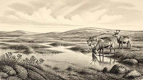
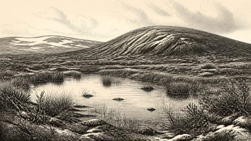
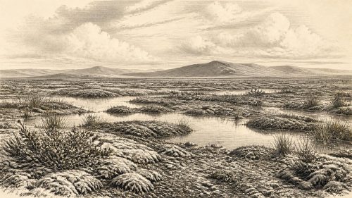
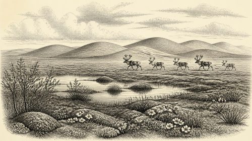
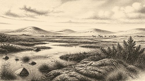
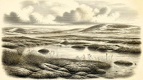
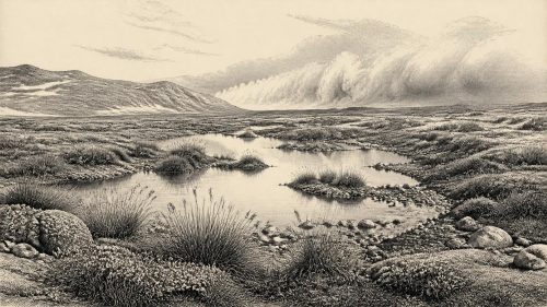
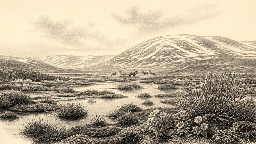
The Derryvree assemblage gives unusually direct evidence of the landscape that preceded the final overrun. Fine sediment settled in standing or slowly moving freshwater. Mosses and macrofossils, together with pollen that survived preservation, indicate a largely treeless, open vegetation. Sedge-like plants, grasses, dwarf shrubs and cold-adapted herbs belonged to a tundra or muskeg landscape: wet, mossy ground interspersed with shallow pools and patches of sparse drier vegetation. Finds reported from the deposit include plants now associated with Arctic-alpine conditions, among them mountain avens, dwarf willow, juniper and bogbean or buckbean. Their presence should not be turned into a painted botanical inventory for a single day; rather, it shows that a cold-climate plant community could persist around freshwater margins.
Such evidence qualifies a familiar but misleading image of an Ireland buried wholly and continuously under ice. The island’s last glacial cycle contained shifts in ice extent, temperature and moisture. A drumlin is itself a reminder of this dynamic history: the landform visible today is the product of moving ice, but its interior can preserve a short-lived non-glacial episode. Derryvree’s organic bed survived precisely because later sediment protected it. Much evidence from exposed ground would have been eroded, reworked or carried away by the advancing ice sheet.
The environment was severe, but it was not lifeless. Open vegetation could provide summer forage for herbivores, while freshwater and wet ground created a local ecological focus. Winters were evidently harsh, growing seasons short and trees absent or extremely scarce. There is no basis for imagining familiar wooded Ireland, settled fields, coastlines or rivers in their modern form. Sea level was much lower than today because enormous volumes of water were locked in continental ice; the surrounding shelf was correspondingly more exposed, although ice, sea and land connections changed through time and place. Ireland’s geographical isolation was therefore not equivalent to the modern island’s.
Castlepook and the Animal World
County Cork offers a complementary but more difficult record. Castlepook Cave, also called Mammoth Cave or Doneraile Cave, near Doneraile, yielded a rich collection of Late Pleistocene animal remains during nineteenth- and early twentieth-century excavation. The collection, much of it held by the National Museum of Ireland, includes evidence for reindeer, woolly mammoth, giant deer, wolf, fox, Arctic fox, brown bear, spotted hyaena, mountain hare and lemmings. This is compelling evidence that Ireland, over a broad part of the Middle to Late Pleistocene, was visited or inhabited by an animal community radically different from that of later historical Ireland.
It is not, however, a census for 30,272 BCE. The cave deposits were excavated before modern standards of recovery and recording, and the bones came from complex contexts. Some remains may have been brought in by carnivores, introduced through fissures or mixed with material of different ages. Radiocarbon results obtained in the 1990s have also been reassessed as laboratory methods improved, particularly through ultrafiltration designed to remove contamination from old bone collagen. Recent scholarship therefore treats exact dates from the older programme cautiously. The broad conclusion remains sound: cold-stage mammals used the wider Irish landscape before the Last Glacial Maximum, but individual species cannot simply be assembled into one simultaneous herd outside Castlepook.
Reindeer are especially evocative because their presence fits the open, cold conditions suggested at Derryvree. Mammoth and giant deer indicate that large herbivores could reach Ireland during favourable intervals; hyaenas and wolves show that carnivores were part of the food web. Their routes remain uncertain. Lower sea levels altered the Irish Sea basin, and periods of ice or exposed shelf may have reduced barriers, but neither a particular continuous land bridge nor a single colonisation event can be assumed for every species. Animal populations could have arrived repeatedly, disappeared locally, or survived only briefly.
The Human Question
Human history at this date is even more tentative. A reindeer femur from Castlepook has been identified as bearing a deep modification plausibly made by a sharp stone tool while the bone was fresh. County Cork heritage publications and researchers have presented this as potential evidence of butchery about 33,000 years ago, making it an important challenge to the former assumption that people first reached Ireland only near the end of the Ice Age. It demonstrates why museum collections and old cave finds deserve renewed study.
But the evidence cannot sustain a settled Palaeolithic Ireland in 30,272 BCE. No securely stratified camp, hearth, stone-tool assemblage, dwelling, grave, artwork or human bone has been recovered for this interval. The marked femur was found in an old cave collection rather than a newly excavated, tightly controlled occupation layer. Even if the modification is correctly interpreted as butchery, it supports only a modest conclusion: people may have reached or used part of Ireland during the broad late-MIS 3 period. It does not identify their language, ancestry, numbers, technology beyond a possible sharp tool, season of visit or duration of stay.
For that reason, political affairs, diplomacy and organised conflict are beyond recovery. There are no polities to name, no borders to trace and no evidence for warfare. Nor can religion, ritual or learning be responsibly reconstructed. If hunters were present, they may have travelled in small mobile groups familiar with the seasonal behaviour of large animals, as other Upper Palaeolithic communities did in north-west Europe; but this is an inference from the wider continental context, not direct evidence from Ireland. It must remain clearly separate from the bones and sediments themselves.
Economy, Society and Regional Change
The only economy visible is ecological subsistence at its most provisional. A possible cut-marked reindeer bone suggests carcass processing: meat, fat, hide, sinew and marrow would all have been valuable to mobile foragers in a cold climate. Yet one modified bone cannot show whether an animal was hunted, scavenged, butchered at the cave, or carried there in pieces. It does not establish regular hunting territories, exchange networks or a resident community. There is likewise no direct evidence for trade. The term “economy” must be used here in the narrowest sense: the relationship between living creatures and scarce seasonal resources.
The greatest regional development was climatic and glacial. The wetland recorded at Derryvree belonged to an interval of exposed terrain in Fermanagh, while the subsequent deposits testify to renewed ice advance. Across Ireland, the build-up of the British–Irish Ice Sheet reshaped valleys, basins and shelves, scouring or burying older landscapes. By the Last Glacial Maximum, several millennia later, ice had achieved its broadest documented extent. This transformation helps explain the scarcity of human evidence: any shallow campsites of the earlier cold stage were exceptionally vulnerable to erosion beneath moving ice and to later sea-level change.
Thus Ireland around 30,272 BCE is best understood as a threshold, not a conventional historical year. The tangible record is a buried Fermanagh wetland, a complex Cork cave fauna and one provocative possible trace of human handling. The interpretation is that changing cold environments supported plants and animals, and perhaps occasional people, before expanding ice profoundly altered the island. The responsible conclusion is both modest and remarkable: beneath Ireland’s later glacial landscape survive fragments of a much older, open and intensely cold world.
Source References
Hover over a number to see the source. Select it to open the source.

- [1] A Middle Midlandian Freshwater Series at Derryvree, Maguiresbridge, County Fermanagh, Northern Ireland
- [2] Palaeoecology
- [3] Exploring controls of the early and stepped deglaciation on the western margin of the British-Irish Ice Sheet
- [4] Growth and Retreat of the Last British–Irish Ice Sheet, 31,000 to 15,000 Years Ago: The BRITICE-CHRONO Reconstruction
- [5] Pattern and Timing of Retreat of the Last British-Irish Ice Sheet
- [6] Last Glacial Maximum Cirque Glaciation in Ireland and Implications for Reconstructions of the Irish Ice Sheet
- [7] Dimensions and Chronology of the Last Ice Sheet in Western Ireland
- [8] Radiocarbon Constraints on the Age of the Maximum Advance of the British–Irish Ice Sheet in the Celtic Sea
- [9] Ireland: Submerged Prehistoric Sites and Landscapes
- [10] Anthropogenic Changes to the Holocene Nitrogen Cycle in Ireland
- [11] The Colonization of Ireland: A Human Ecology Perspective
- [12] The Irish Quaternary Fauna Project
- [13] A Reconsideration of the Radiocarbon Dating of the Marine Isotope Stage 3 Fauna from Southern Ireland
- [14] Pleistocene Vertebrates in the British Isles
- [15] Heritage Artefacts of County Cork
- [16] Archaeology Research Excavation Grant 2022: Castlepook Cave, Co Cork
- [17] 2022:564 - Castlepook Cave, Castlepook South, Cork
- [18] New Insights on the Fauna of Ireland's Younger Dryas and Early Holocene from Alice & Gwendoline Cave
- [19] Dryas octopetala
- [20] Advances in Irish Quaternary Studies
Primary Sources
- A Middle Midlandian Freshwater Series at Derryvree, Maguiresbridge, County Fermanagh, Northern Ireland
- Palaeoecology
- Exploring controls of the early and stepped deglaciation on the western margin of the British-Irish Ice Sheet
- Growth and Retreat of the Last British–Irish Ice Sheet, 31,000 to 15,000 Years Ago: The BRITICE-CHRONO Reconstruction
- Pattern and Timing of Retreat of the Last British-Irish Ice Sheet
- Last Glacial Maximum Cirque Glaciation in Ireland and Implications for Reconstructions of the Irish Ice Sheet
- Dimensions and Chronology of the Last Ice Sheet in Western Ireland
- Radiocarbon Constraints on the Age of the Maximum Advance of the British–Irish Ice Sheet in the Celtic Sea
- Ireland: Submerged Prehistoric Sites and Landscapes
- Anthropogenic Changes to the Holocene Nitrogen Cycle in Ireland
- The Colonization of Ireland: A Human Ecology Perspective
- The Irish Quaternary Fauna Project
- A Reconsideration of the Radiocarbon Dating of the Marine Isotope Stage 3 Fauna from Southern Ireland
- Pleistocene Vertebrates in the British Isles
- Heritage Artefacts of County Cork
- Archaeology Research Excavation Grant 2022: Castlepook Cave, Co Cork
- 2022:564 – Castlepook Cave, Castlepook South, Cork
- New Insights on the Fauna of Ireland's Younger Dryas and Early Holocene from Alice & Gwendoline Cave
- Dryas octopetala
- Advances in Irish Quaternary Studies