Derryvree’s Living Basin30453 BCE
About 30,453 BCE is not a recoverable Irish historical year but falls within broad Late Pleistocene dating ranges. At Derryvree, County Fermanagh, sediments between two tills record a locally ice-free freshwater basin before renewed glaciation. Pollen, plants, mosses and insects indicate cold, treeless tundra-like wetlands rather than a frozen wasteland. Climate during Marine Isotope Stage 3 fluctuated sharply, while later ice obscured much evidence. Castlepook Cave, County Cork, preserves a mixed, time-averaged fauna including mammoth, reindeer and hyena. A cut-marked reindeer femur may indicate Upper Palaeolithic butchery, but cannot prove permanent settlement. Evidence supports changing environments and possible human visits.
Dateline
“30,453 BCE” is a modern chronological label, not a year that can be recovered from Ireland’s archaeological record. No documentary calendar existed, and neither a settlement nor an event can be assigned responsibly to this particular year. In calendar terms the label falls roughly 32,400 years before AD 1950, within the Late Pleistocene and Marine Isotope Stage 3. The evidence is instead measured in wide radiocarbon and calibrated ranges. Its most useful Irish context is a buried freshwater sequence at Derryvree, near Maguiresbridge in County Fermanagh, and a much more tentative human clue from Castlepook Cave in County Cork.
The result is not a conventional national history. There were no known states, rulers, written laws, diplomatic missions or named communities in Ireland. Nor can warfare, religion, trade or everyday domestic life be described as if they were documented facts. What can be reconstructed is a changing physical world: an island or near-island landscape subject to severe climatic fluctuation, locally ice-free ground and freshwater, cold-adapted vegetation, and large mammals whose bones survived in caves and sediments. Whether people were present at all at this point remains an important but unresolved question.
A Date Within Broad Ranges
The principal Derryvree sample, conventionally known as BIRM-166, produced a radiocarbon determination of about 30,500 ± 1,100 radiocarbon years before present. “Before present” conventionally means before AD 1950, but a radiocarbon age is not identical to a calendar age: atmospheric carbon-14 levels have altered through time. Calibrated ranges are consequently broad at this depth in time. Published treatments place the Derryvree organic horizon broadly around 36,900–31,700 calibrated years before present, while later ice-sheet modelling has treated the dated interval as centring on about 33,500 ± 1,200 calendar years before present.
The nominal date of 30,453 BCE sits within these overlapping uncertainties, but it does not identify a single season in the life of the wetland. The silts accumulated over time, the organic sample represents material incorporated into that accumulation, and calibration introduces further uncertainty. Modern revisions to calibration curves can also adjust calendar equivalents. The responsible conclusion is therefore modest: during part of the broad interval encompassing this date, the Derryvree locality was not overridden by glacier ice and sustained freshwater conditions before a later ice advance buried its deposits.
Freshwater Between Ice Sheets
Derryvree is exceptional because roadworks in 1969 exposed a section through a drumlin, one of the streamlined hills built beneath moving ice. The sequence included a lower till, then fine sands, silts and organic freshwater sediments, capped by another thick till. Till is unsorted material deposited directly by glacier ice. This order supplies powerful physical evidence: ice had occupied the locality; an interval followed in which standing or sluggish fresh water, sediment and vegetation could develop; and ice later returned, sealing the record beneath glacial debris.
That stratigraphy is more secure than any detailed picture of the whole island. It does not prove that every Irish region was ice-free simultaneously, nor that the country enjoyed a uniformly benign climate. It demonstrates local conditions at one Fermanagh basin. Other inter-till deposits in northern Ireland reinforce the wider conclusion that ice cover during the later Pleistocene was episodic and regionally varied. Yet later glaciers eroded or buried much of the evidence, leaving isolated windows rather than a continuous national archive.
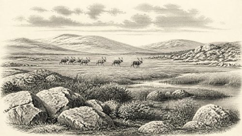
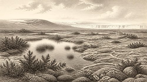
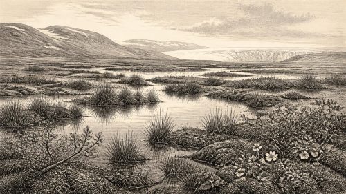
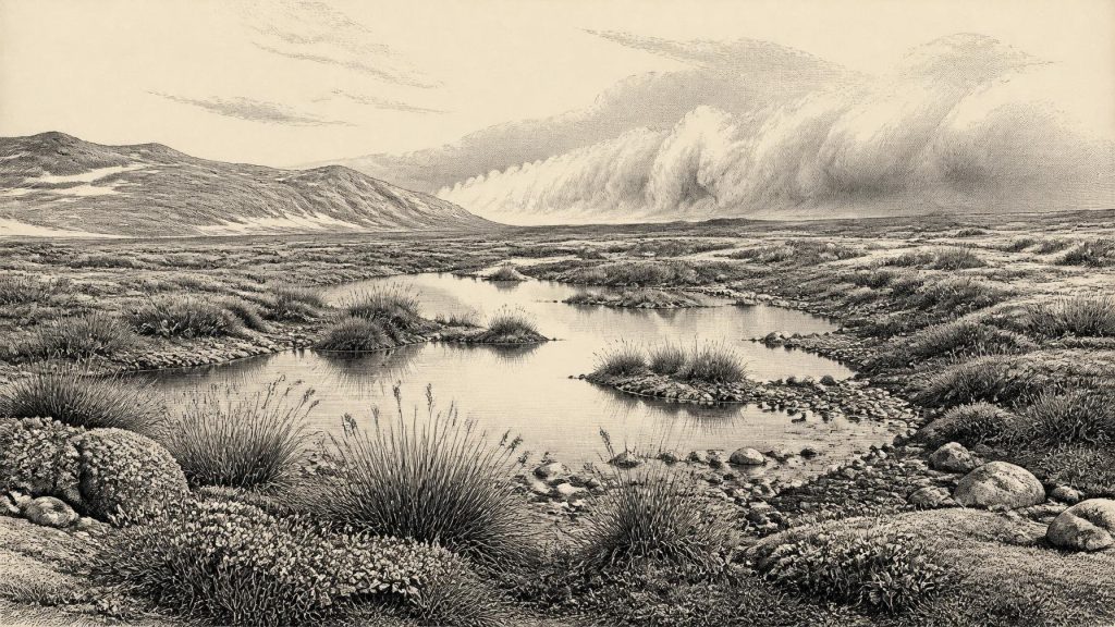
The Derryvree sediments contain pollen, plant macrofossils, mosses and insect evidence. Together they indicate open, cold terrain with freshwater and wet margins rather than forest. Sedges, aquatic plants and northern or Arctic-alpine elements are consistent with a tundra-like mosaic: shallow pools, saturated ground, mossy margins, low herbs and shrubs, and a short productive growing season. The ancient wetland should not be pictured as identical to a modern bog, however. “Tundra” and “muskeg” are useful comparisons, not direct labels for a landscape whose precise combinations of water, sediment, frost and vegetation changed through time.
Cold Ground, Not a Frozen Void
Ireland around this broad period was not simply “under ice” or “free of ice”. Marine Isotope Stage 3 was marked across the North Atlantic region by abrupt millennial-scale climate shifts. Conditions could improve sufficiently for ice margins to retreat or thin in some places, then deteriorate as ice grew again. Derryvree’s upper till records the eventual local triumph of ice over the freshwater basin. The later maximum of the last British–Irish Ice Sheet occurred thousands of years after the date considered here, generally placed around 27,000–23,000 years before present in Irish reconstructions. That distinction matters: 30,453 BCE belongs to a volatile pre-maximum phase, not automatically to the coldest extent of the last glaciation.
Inferences about regional scenery must remain scaled to the evidence. The Fermanagh record supports wet, treeless and seasonally severe conditions in its vicinity. It cannot reveal the exact weather in Cork, the extent of snow cover on western mountains, or the coastline visible from any particular hill. Lower global sea levels altered the outlines of the surrounding seas and exposed land now submerged, but those facts alone do not establish a particular walking route into Ireland. Geography, sea ice, water crossings and the shifting margins of ice all affected animal and possible human movement.
Castlepook’s Animal Evidence
Far to the south, Castlepook Cave near Doneraile in County Cork offers a different kind of archive. Excavations begun in the early twentieth century recovered one of Ireland’s richest Pleistocene vertebrate assemblages. Its fauna includes woolly mammoth, giant deer, reindeer, brown bear, wolf, Arctic fox, mountain hare and spotted hyena, alongside smaller cold-climate animals. The assemblage shows that Ireland could support, or at least receive, a striking range of large mammals during parts of the Late Pleistocene.
But a cave collection is not a census for one year. Bones were accumulated over long periods; some were transported or modified by carnivores, water and earlier excavation; and old field methods recorded contexts less precisely than modern standards require. A species represented at Castlepook cannot simply be placed beside the Derryvree wetland in 30,453 BCE. The strongest conclusion is chronological and ecological rather than dramatic: cold-stage animal communities repeatedly reached southern Ireland during this general era, and cave deposits preserve fragments of their presence.
Spotted hyena is especially revealing. Hyenas could carry carcass parts into a den, explaining why cave bones may represent animals killed elsewhere. Mammoth and reindeer remains similarly tell us about regional animal movement and survival, not necessarily a hunting ground at the cave mouth. Predators, scavengers and natural death all contributed to the fossil record. Such taphonomic caution prevents a familiar mistake: treating a bone deposit as an intact human campsite.
The Reindeer Femur Question
A reindeer femur from Castlepook has nevertheless altered discussion of Ireland’s earliest people. Zooarchaeologist Ruth Carden identified a deep incision on the bone as damage consistent with a sharp stone tool used during carcass processing. Public reporting and County Cork heritage material have associated the specimen with an age of roughly 33,000 years ago. If the interpretation of the mark, its timing and its relationship to the dated animal are sustained, it would be remarkable evidence that people handled reindeer in Ireland during the Upper Palaeolithic.
It cannot yet bear more weight than that. The femur did not come from a newly excavated, sealed occupation floor with securely associated stone tools, hearths, shelters, human remains or a refitting scatter of butchered bones. Nor does it demonstrate a permanent population, an Irish hunting territory, a named culture or descent from later inhabitants. The animal’s death date is not automatically the exact date of butchery, and the cave assemblage has a complicated depositional history. Around 30,453 BCE, Castlepook provides a serious possibility of human activity in the wider period, not proof of a settled community in that particular year.
Society Beyond Recovery
This limit governs every social question. If small human groups visited Ireland, their likely subsistence would have depended on mobility, close observation of animals and seasons, and the flexible use of portable equipment. That is a general inference from Upper Palaeolithic lifeways elsewhere in north-west Europe, not direct evidence from an Irish camp. Ireland has not produced a securely dated dwelling, hearth, lithic workshop, burial, artwork or ceremonial place from this horizon. There is therefore no basis for describing households, kinship systems, rituals, languages, leaders or territorial boundaries.
Likewise, no evidence permits claims for political affairs, diplomacy, organised conflict, markets or maritime trade. The term “economy” can only be used in the ecological sense: animal and plant resources were available unevenly across a demanding, rapidly changing landscape. Any people who arrived would have faced logistical choices about movement, fuel, shelter and food, but the material record does not preserve their answers. The principal history here is environmental opportunity and constraint, not government or exchange.
A Buried Irish Landscape
The importance of this date lies in what it corrects. Ireland’s deep past should not be reduced to an empty interval between ice advances, nor should a single modified bone be inflated into a story of established colonisation. Derryvree records a living freshwater basin between glacial episodes, with plants and insects attesting to cold but habitable local conditions. Castlepook records a rich, time-averaged fauna and a provocative possible trace of human butchery. Together they show an Ireland connected to the wider Pleistocene world of climatic oscillation, mobile animals and changing ice margins.
For 30,453 BCE, that is the fullest defensible account. The modern year is a useful index for readers, but the real historical units are calibrated ranges, sediment layers and fossil assemblages. Their silence about names and events is not a failure of history. It is the evidence itself: a record in which water briefly occupied a Fermanagh hollow, vegetation took hold around it, and a later glacier sealed that fragile world for tens of millennia.
Primary Sources
- A Middle Midlandian Freshwater Series at Derryvree, Maguiresbridge, County Fermanagh, Northern Ireland
- A Reconsideration of the Radiocarbon Dating of the Marine Isotope Stage 3 Fauna from Southern Ireland
- The Irish Quaternary Fauna Project
- New Insights on the Fauna of Ireland's Younger Dryas and Early Holocene from Alice & Gwendoline Cave
- Castlepook Cave: County Geological Site Report
- Castlepook Cave, Co. Cork, Excavation Report 2022
- Quaternary Science Reviews 42: Reindeer in Ireland and Britain during the last glacial period
- Exploring Controls of the Early and Stepped Deglaciation on the Western Margin of the British-Irish Ice Sheet
- Timing and Pace of Ice-Sheet Withdrawal Across the Marine–Terrestrial Transition West of Ireland During the Last Glaciation
- The Late Quaternary History of East-Central Ireland
- Figure 6.— The Subdivision of the Quaternary Period in Ireland
- Quaternary Geology
- Outreach and Education Resources
- Publications
- Geology of Ireland
- Quaternary
- Quaternary Geomorphology Map Service
- The IntCal20 Northern Hemisphere Radiocarbon Age Calibration Curve (0–55 cal kBP)
- The IntCal20 Northern Hemisphere Radiocarbon Age Calibration Curve (0–55 cal kBP)
- Dansgaard–Oeschger Events in Climate Models: Review and Baseline Marine Isotope Stage 3 (MIS3) Protocol
- Marine Isotope Stage 3 Sea Level Fluctuations: Data Synthesis and New Outlook
- The Stratigraphic Position and Age of the Gortian
- Advances in Irish Quaternary Studies
- Reindeer Bone Found in Cork Cave Shows Human Activity in Ireland 33,000 Years Ago