Derryvree’s Periglacial Interval30898 BCE
Around 30,898 BCE, Ireland lay within a variable Late Pleistocene periglacial phase, rather than a precisely datable year. At Derryvree, County Fermanagh, freshwater sediments between tills show that ice-free conditions temporarily supported cold, open wetlands with Arctic-alpine plants, insects and organic accumulation before glaciers returned. Castlepook Cave, County Cork, preserves diverse cold-stage fauna, including mammoth, reindeer, giant deer, predators and lemmings, though its mixed deposits limit precise interpretation. A possibly tool-marked reindeer bone suggests brief human contact, but proves neither settlement nor society. Lower sea levels altered routes, while advancing ice eventually covered Ireland, destroying or concealing most earlier evidence.
Dateline
Modern calendar-year precision is not available for Ireland in 30,898 BCE. No written calendar existed, and neither an archaeological site nor an environmental deposit can identify an event in that particular year. The label is therefore best understood as a convenient modern point, roughly 32,847 years before AD 1950, within the Late Pleistocene and Marine Isotope Stage 3 (MIS 3). The responsible evidence is expressed in broad calibrated ranges, not anniversaries. Around this horizon Ireland was approaching, but had not yet reached, the maximum expansion of the last British–Irish Ice Sheet.
A Date Inside a Range
The closest securely relevant Irish chronological anchor is Derryvree, near Maguiresbridge in County Fermanagh. Road cutting through a drumlin exposed a remarkable sequence: glacial till below, freshwater silts, sands and organic muds in the middle, and another thick till above. This order tells a clear environmental story. Ice had occupied the locality; a later interval permitted water, plants and invertebrates to establish themselves; subsequently, glacier ice returned and sealed the record.
Organic material from the Derryvree sediments produced the radiocarbon determination BIRM-166, 30,500 +1,170/−1,030 radiocarbon years BP. Radiocarbon years are not calendar years, because atmospheric carbon-14 levels have varied through time. Published calibrations place this evidence broadly at about 36,900–31,700 calibrated years BP, approximately 34,950–29,750 BCE. The nominal year 30,898 BCE lies within that wide interval. It does not date a particular plant, animal, pool or human visit to that named year; rather, it places the modern date within an extended phase represented by the deposit.
Derryvree is consequently more useful as a window than as a clock. Its layers establish that part of north-central Ireland could be ice-free during this stage of the last glacial cycle. They do not prove that every part of the island was free of ice at once, nor that conditions remained unchanged throughout the whole calibrated range. Ireland’s climate and ice margins were highly variable, and the surviving terrestrial record is exceptionally patchy.
Wet Ground Between Ice Advances
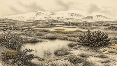
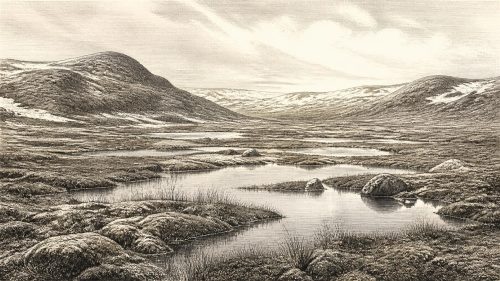
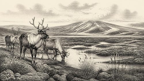
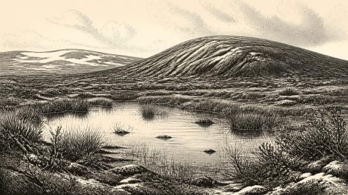
The freshwater beds preserve pollen, plant macrofossils, mosses and insect remains. Together they indicate an open, cold, periglacial landscape: one shaped by severe frost, seasonal freezing and thawing, saturated ground and short growing seasons, but not necessarily by glacier ice at Derryvree itself. The word “periglacial” is important. It describes ground close to glacial conditions, rather than a featureless landscape buried under ice.
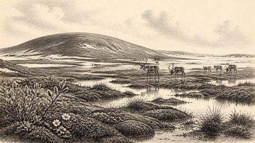
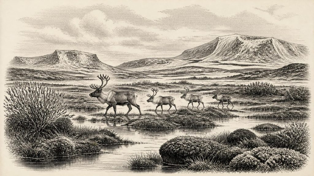
The vegetation was unlike the dense oak, hazel and ash woodland of much later Irish prehistory. Grasses, sedges, herbs, mosses and low-growing Arctic-alpine plants point instead to tundra-like ground around pools, marshy hollows and slow-moving freshwater. Fossils identified from the deposit include plants associated with cold and wet places, among them mountain-avens, dwarf willow, lesser clubmoss, bogbean and water-milfoil. Juniper was also present in the pollen record. These are direct traces of plants or their remains, and they strongly support an environment with open vegetation and productive wetland patches.
Some caution remains necessary. Sparse tree pollen does not demonstrate local forest: pollen can travel far on the wind or be reworked from older deposits. Nor should the modern visitor imagine an unbroken plain of identical tundra across Ireland. The best inference is more modest and more valuable: around the Derryvree locality there were freshwater habitats, mossy and sedgy ground, and enough seasonal biological productivity for organic sediment to accumulate before later ice transformed the terrain.
Animals in a Cold-Stage Landscape
Southern Ireland supplies another important, though differently preserved, body of evidence. Castlepook Cave, near Doneraile in north County Cork, is Ireland’s richest known Pleistocene vertebrate cave site. Its collections include remains of woolly mammoth, reindeer, giant deer, brown bear, wolf, Arctic fox, mountain hare, Norwegian and collared lemmings, and spotted hyaena. Not every specimen belongs to the same date, deposit or ecological moment. Much of the material was excavated in the late nineteenth and early twentieth centuries, before modern standards of stratigraphic recording, and cave deposits may be mixed by water, animals, sediment movement and excavation. The cave is an archive, not a single frozen scene.
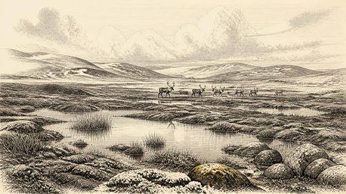
Even so, radiocarbon reassessment shows that a range of mammals reached Ireland between at least about 45,000 and 20,000 years ago. Mammoth, reindeer and hyaena evidence at Castlepook belongs to the older part of that broad Late Pleistocene history and demonstrates that Ireland could support substantial cold-adapted animal communities before the Last Glacial Maximum. Reindeer and lemmings accord well with the open, severe conditions indicated at Derryvree. Mammoth and giant deer suggest that, at least in favourable districts and seasons, enough forage existed for large herbivores. Wolves, bears and hyaenas reveal a more complex food web of predators and scavengers than later prehistoric Ireland possessed.
Spotted hyaena is especially revealing. Castlepook contains Ireland’s principal evidence for this animal, now associated above all with Africa but widespread in Pleistocene Europe. Carnivores may have dragged carcass parts into the cave, broken bones for marrow and accumulated the remains there. Such behaviour explains why the cave is so informative about fauna while also making it dangerous to treat every broken bone or surface mark as proof of people.
The Reindeer Femur Question
A reindeer femur from Castlepook has been reported as approximately 33,000 years old and as bearing a deep mark interpreted by zooarchaeologist Ruth Carden as damage from a stone tool during butchery. If that interpretation is confirmed, it would be potentially transformative: evidence that people handled and processed a reindeer in Ireland during the Upper Palaeolithic, far earlier than the island’s long-established post-glacial record of occupation.
It must nevertheless remain a carefully qualified possibility, not the foundation for an invented community in 30,898 BCE. The reported mark has not yet been presented in a full peer-reviewed publication with a complete contextual study. The dated bone records the age of the animal, not automatically the instant at which a mark was made. Moreover, Castlepook has not yielded a securely associated hearth, lithic assemblage, dwelling floor, burial, food store or stratified occupation surface of comparable age. Carnivore damage, trampling, sediment movement and older excavation practices all complicate interpretation.
Thus the evidence may point to a brief human encounter with Ireland, perhaps involving hunters moving through the wider north-west European world in pursuit of game. It cannot yet establish whether people killed the animal, scavenged it, processed it in the cave, stayed overnight, returned seasonally or founded any lasting population. It is equally impossible to assign language, ancestry, kinship, clothing, ritual or social organisation to those hypothetical visitors from one modified bone.
No Polities, No Proven Settlements
There is no evidence for political affairs, diplomacy, named leaders, tribes, territorial states or warfare in Ireland at this depth of time. There are likewise no demonstrated Irish settlements, houses, cemeteries, monuments, artworks or learning traditions of this age. Religion cannot responsibly be reconstructed. Caves may have offered shelter to people or animals at different times, but Castlepook’s documented importance is principally as a faunal deposit, not as a confirmed shrine or habitation site.
Everyday life is therefore visible only indirectly, through ecology and the limited possibility of human butchery. If people did reach the island, their subsistence would have depended on mobile hunting, scavenging and the practical knowledge needed to travel through cold, open country. That is an inference from the environment and from Upper Palaeolithic lifeways elsewhere, not direct evidence for a resident Irish society.
Routes, Coasts and an Altered Island
Economy and trade are similarly beyond the evidence. There are no known exchange goods, mines, farms, boats or managed herds from Ireland around this date. Yet geography matters. Lower global sea levels exposed far more of the continental shelf than exists today, changing the distances and landscapes between Ireland, Britain and continental Europe. This did not necessarily create a simple, permanent dry-land bridge. Ice, rivers, estuaries, changing shorelines and marine channels could all have obstructed movement. Any movement of animals, and any possible human arrival, occurred across a changing north-west European landscape now largely drowned beneath the sea.
The largest development shaping Ireland around 30,898 BCE was environmental rather than political: the progressive growth of ice sheets during the final part of MIS 3. The later Last Glacial Maximum, broadly dated in Irish waters and landscapes to about 27,000–23,000 calibrated years BP, eventually covered Ireland and much of its shelf with ice. That advance scoured, buried and rearranged earlier landscapes. It helps explain why Derryvree’s sealed wetland and Castlepook’s difficult cave collections are so important. They are rare survivals from an Ireland of cold pools, open vegetation, roaming mammals and, possibly, fleeting human contact.
Primary Sources
- A Middle Midlandian Freshwater Series at Derryvree, Maguiresbridge, County Fermanagh, Northern Ireland
- Early Midlandian–Middle Midlandian, Pleistocene, Northern Ireland
- Irish Pleistocene Biostratigraphy
- The Irish Quaternary Fauna Project
- A Reconsideration of the Radiocarbon Dating of the Marine Isotope Stage 3 Fauna from Southern Ireland
- Late Pleistocene Chronostratigraphy and Ice Sheet Limits, Southern Ireland
- Growth and Retreat of the Last British–Irish Ice Sheet, 31,000 to 15,000 Years Ago: the BRITICE-CHRONO Reconstruction
- Timing and Pace of Ice-Sheet Withdrawal Across the Marine–Terrestrial Transition West of Ireland During the Last Glaciation
- Early Deglaciation of the British-Irish Ice Sheet on the Atlantic Shelf Northwest of Ireland Driven by Glacioisostatic Depression and High Relative Sea Level
- Stratigraphic and Palaeo-Geomorphological Evidence for the Glacial-Deglacial History of the Last British-Irish Ice Sheet in the North-Western Irish Sea
- The Deglaciation of the Western Sector of the Irish Ice Sheet From the Inner Continental Shelf to its Terrestrial Margin
- Trimlines, Blockfields and the Vertical Extent of the Last Ice Sheet in Southern Ireland
- Ireland: Submerged Prehistoric Sites and Landscapes
- Castlepook Cave
- Archaeology Research Excavation Grant 2022: Final Report
- Proceedings of the Royal Irish Academy: Castlepook Cave Faunal Report
- The Subdivision of the Quaternary Period in Ireland
- Exploring Controls of the Early and Stepped Deglaciation on the Western Margin of the Last British–Irish Ice Sheet
- New Data for the Last Glacial Maximum in Great Britain and Ireland
- New Insights on the Fauna of Ireland’s Younger Dryas and Early Holocene From Alice & Gwendoline Cave