Derryvree’s Water-Milfoil Bed30899 BCE
30,899 BCE is a modern chronological label, not a recoverable Irish year. During MIS 3, Derryvree, County Fermanagh, preserved freshwater organic deposits between glacial tills, indicating a locally ice-free but cold, treeless periglacial wetland with mosses, sedges, water-milfoil, dwarf willow, mountain avens and cold-adapted insects. Castlepook Cave, County Cork, records mammoth, reindeer, giant deer, bear, wolf and hyaena across a broad period. A possibly tool-marked reindeer bone suggests an early human visit, but cannot prove settlement. No political, social, economic or ritual history is evidenced. Renewed glaciation eventually buried habitats, while later ice-sheet activity erased or obscured much surviving evidence.
Dateline
30,899 BCE is not a recoverable Irish year. No people in Ireland are known to have used a calendar capable of identifying it; no written record, settlement sequence or securely dated event can be assigned to that point. The label is a modern conversion, roughly 32,848 years before AD 1950, the conventional reference point for archaeological ‘BP’ dates. At this depth in time, radiocarbon results must be calibrated and expressed as wide probability ranges, not as a single historical day or season.
The responsible setting is the later part of the last Ice Age, in Marine Isotope Stage 3 (MIS 3), before the Last Glacial Maximum. Ireland’s evidence is exceptionally fragmentary: buried sediments, cave bones, pollen and plant remains, insect assemblages, glacial landforms and the re-examination of collections made long ago. The most informative record close to this notional date is not a camp or grave, but a former wetland at Derryvree near Maguiresbridge, County Fermanagh.
A Date Inside a Range
Road works at Derryvree exposed a remarkable sequence through a drumlin. Fine sand, freshwater silt and organic layers lay between two tills: unsorted sediment deposited by glacier ice. The lower till proves that ice had earlier reached the locality. The intervening water-laid beds show that ice was absent there long enough for wetland sediment and organic matter to accumulate. The upper till shows that glacier ice later returned and sealed the evidence beneath it. This is a sequence of environmental change, not a snapshot of a single year.
Organic material from the Derryvree deposit, Birm-166, produced a conventional radiocarbon age of about 30,500 radiocarbon years BP, with a large error margin. Modern calibration places the deposit broadly at about 36,900–31,700 calibrated years BP. The modern label 30,899 BCE falls within that wide span, but it cannot identify one bed, one summer, or even one century within it. Nor does a date from one Fermanagh wetland demonstrate that every part of Ireland had the same climate or ice cover at the same moment.
Older schemes called this interval an ‘interstadial’, a term that can suggest a relatively mild respite. The fossil evidence is better treated more cautiously. Derryvree documents locally ice-free ground and freshwater, but it also records a cold, treeless, frost-affected world. In Irish Quaternary terminology it is associated with the Derryvree Cold Phase, within the Midlandian glaciation and broadly correlated with MIS 3.
A Cold Freshwater Landscape
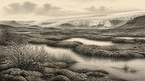
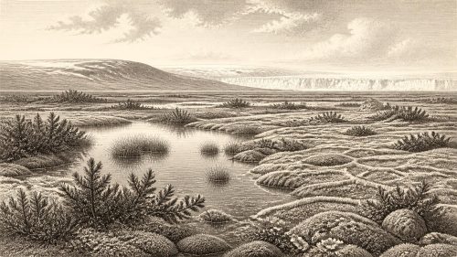
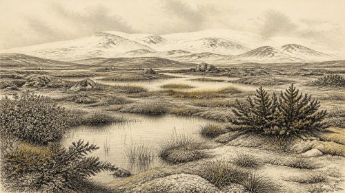
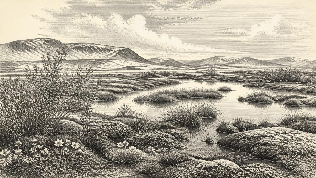
The buried deposits preserve the outlines of an ecological community rather than a human landscape. Freshwater mosses and sedges, together with remains of plants such as dwarf willow, mountain avens and water-milfoil, point to pools or slow water, wet margins and open ground. They do not indicate woodland. The evidence instead supports tundra-like or muskeg conditions: low vegetation, patches of wet ground, shallow freshwater and a climate in which prolonged cold constrained tree growth.
Fossil insects reinforce that reading. The assemblage had a cold northern character, useful because many beetles have relatively precise climatic and habitat requirements. Together, the botanical and insect evidence supports an open periglacial environment. Periglacial does not mean wholly covered by ice; it means a landscape shaped by severe cold in the vicinity of glaciers or ice sheets, where freeze-and-thaw, frozen soils, sparse cover and seasonal meltwater could be decisive forces.
This local evidence also corrects two misleading extremes. Ireland was not necessarily an unbroken white ice sheet throughout the whole of the last Ice Age, but neither was it a green, continuously habitable island. Conditions varied greatly through time and between regions. The Derryvree beds demonstrate that a cold freshwater habitat existed in part of Fermanagh during a broad interval between episodes of glaciation. They cannot supply a coast-to-coast map for 30,899 BCE.
Animals at Ireland’s Edge
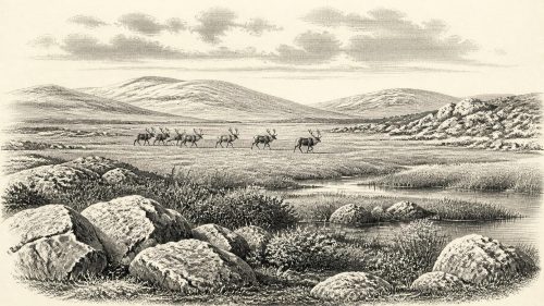
Castlepook Cave, near Doneraile in north County Cork, provides the principal Irish animal archive for the wider pre-Last Glacial Maximum period. Its collections include bones of woolly mammoth, reindeer, giant deer, brown bear, wolf and spotted hyaena, as well as smaller cold-adapted mammals in some deposits. These animals show that, during parts of MIS 3, Ireland supported or was reached by a far richer large-mammal fauna than exists on the island today.
That conclusion needs careful phrasing. The cave accumulated bones over a long period; carnivores, natural deaths, water movement and the disturbance caused by early excavations all affect what survived. Direct dating has improved the chronology, and modern work has shown that some older radiocarbon determinations underestimated the age of material. Yet the dated animals do not constitute a single herd observed in one landscape, much less an inventory for this specific calendar year. They provide evidence of repeated animal presence across thousands of years.
Even so, the combined Derryvree and Castlepook records make ecological sense. Open, cold country with wetland patches could support herbivores such as reindeer and mammoth in suitable phases, while predators and scavengers followed them. Cave hyenas are particularly important: Castlepook is Ireland’s key evidence for a carnivore now absent from the island. Their presence reminds us that caves are not automatically human shelters in the archaeological record. Often they are animal dens, bone traps or complex sedimentary archives.
The Human Question
One Castlepook reindeer femur carries a deep linear mark interpreted by zooarchaeologist Ruth Carden as having been made by a sharp stone tool during carcass processing. The bone has been associated publicly with an age of about 33,000 years ago. If that interpretation and chronology are sustained, it would be extraordinary evidence that people handled a reindeer in Ireland during the Upper Palaeolithic, far earlier than the formerly accepted record of human activity on the island.
Its limits are as important as its promise. The find is a single modified bone from an old cave collection, not a freshly excavated occupation layer. No associated stone tools, hearth, dwelling floor, burial, repeated butchery area or securely stratified camp has been recovered. A date on the animal establishes when it died, not automatically the precise instant when the mark was made. Nor can one possible butchery trace reveal the size, identity, language, route, duration of stay or descendants of any people involved.
Accordingly, there is no secure evidence for a resident human population in Ireland in 30,899 BCE. There may have been a fleeting encounter between mobile hunter-gatherers and a carcass during the wider MIS 3 interval; there is not yet evidence for a settled community. The distinction is fundamental. Continental Upper Palaeolithic groups certainly possessed sophisticated technologies, social connections and cultural practices, but none of those can responsibly be transplanted into Ireland without Irish artefacts or occupation evidence.
No Politics, Trade or Ritual Record
For this reason, the usual categories of political history do not apply. There are no named leaders, territories, alliances, diplomatic contacts, wars or institutions. Nor is there evidence for social rank, households, kin groups, language or law. The absence is archaeological, not a claim that people elsewhere in north-west Europe lacked complex lives. It means only that Ireland has not yielded material capable of describing such matters for this time.
The same restraint is necessary for everyday life. No Irish dwelling, hearth, clothing item, food store, boat, tool-kit or art object belongs securely to this horizon. Hunting of reindeer is a possibility raised by the marked Castlepook femur; it is not demonstrated as a regular Irish economy. Trade is wholly undocumented. There is no basis for reconstructing exchange routes across the Irish Sea, even though lowered sea levels and shifting ice margins altered regional geography during the Ice Age.
Religion, ceremony and learning are likewise beyond the evidence. No cave art, portable art, burial practice or ritual deposit is securely attributable to Ireland around this point. The Derryvree wetland can tell us about plants, water, cold and ice; it cannot tell us what any possible visitor believed. Silence here is not a failure of imagination but the proper boundary between evidence and invention.
Ice Was Becoming the Main Agent
The larger development was environmental. The Derryvree organic beds were ultimately buried by renewed glaciation, and later growth of the British–Irish Ice Sheet profoundly remodelled the island. The Last Glacial Maximum lay still ahead, broadly between about 26,000 and 20,000 years ago, when ice covered much of Ireland and extended onto the surrounding continental shelf. At 30,899 BCE, conditions belonged to the long, unstable approach to that maximum rather than to its full extent.
Glacial erosion, deposition and later melting destroyed or concealed many earlier surfaces where human traces might otherwise have survived. That preservation problem helps explain why the record is so uneven: a protected organic bed beneath a drumlin and a bone assemblage in limestone caves can endure, while exposed camps on open ground may vanish. The strongest history for this date is therefore a history of changing habitats, not of recorded peoples.
A Responsible Picture
Around the modern date label 30,899 BCE, Ireland can be understood as a cold, environmentally volatile place within MIS 3. In Fermanagh, the Derryvree evidence preserves a freshwater wetland amid open periglacial vegetation during a broad calibrated interval; in Cork, Castlepook preserves proof that large cold-stage mammals used Ireland during the wider period. A possible cut-marked reindeer bone raises the prospect of a very early human visit, but does not yet establish settlement.
The most important Irish development was thus not a battle, ruler or monument. It was the precarious persistence of life in landscapes increasingly vulnerable to renewed ice-sheet expansion: sedges and mosses at wet margins, cold-adapted animals moving through open country, and perhaps, only perhaps, people passing briefly through a world whose traces would soon be buried, reworked or erased.
Primary Sources
- A Middle Midlandian Freshwater Series at Derryvree, Maguiresbridge, County Fermanagh, Northern Ireland
- Early Midlandian–Middle Midlandian, Pleistocene, Northern Ireland
- The Irish Quaternary Fauna Project
- A Reconsideration of the Radiocarbon Dating of the Marine Isotope Stage 3 Fauna from Southern Ireland
- Archaeology Research Excavation Grant 2022: Final Report
- 2022:564 – Castlepook Cave, Castlepook South, Cork
- Heritage Artefacts of County Cork 2021
- Mammoth and Musk Ox ESR-Dated to the Early Midlandian at Aghnadarragh, County Antrim, Northern Ireland, and the Age of the Fermanagh Stadial
- Freshwater Organic Deposits and Stratified Sediments Between Early and Late Midlandian (Devensian) Till Sheets, at Aghnadarragh, County Antrim, Northern Ireland
- Middle Midlandian Interstadial Deposits at Greenagho, Near Belcoo, County Fermanagh, Northern Ireland
- The Quaternary of Ireland: A Field Guide
- Cenozoic: Tertiary and Quaternary
- Exploring Controls of the Early and Stepped Deglaciation on the Western Margin of the British Irish Ice Sheet
- Dimensions and Chronology of the Last Ice Sheet in Western Ireland
- Last Glacial Maximum Cirque Glaciation in Ireland and Implications for Reconstructions of the Irish Ice Sheet
- Early Deglaciation of the British-Irish Ice Sheet on the Atlantic Shelf Northwest of Ireland Driven by Glacioisostatic Depression and High Relative Sea Level
- Character of Advance and Retreat of the Southwest Sector of the British-Irish Ice Sheet During the Last Glaciation
- Deglaciation Chronology of the Donegal Ice Centre, North-West Ireland
- The IntCal20 Northern Hemisphere Radiocarbon Age Calibration Curve (0–55 cal kBP)
- OxCal Online
- Salix herbacea L. in Fermanagh
- Dryas octopetala L. in Fermanagh
- Myriophyllum alterniflorum DC. in Fermanagh
- New Insights on the Fauna of Ireland’s Younger Dryas and Early Holocene from Alice & Gwendoline Cave
- The Colonization of Ireland: A Human Ecology Perspective
- Archaeology and the M3: From Dublin to Kells