Glacial Wetlands31812 BCE
Around 31,812 BCE, Ireland lay within the unstable cold conditions of Marine Isotope Stage 3, not a precisely datable historical year. At Derryvree, County Fermanagh, freshwater silts later sealed beneath glacial till show an ice-free wet tundra of sedges, mosses, herbs, pools and seasonal freezing. Crag Cave calcite indicates episodic liquid-water conditions, confirming climatic variability. Cave faunas, including reindeer and mammoth, reflect harsh environments but uncertain dates and associations. A possibly cut-marked reindeer bone offers only tentative evidence of human activity. No settlements, polities or economy are known. Changing ice and sea levels made access uncertain before glaciation reshaped Ireland.
Dateline
Modern calendar-year precision cannot responsibly be projected onto Ireland in 31,812 BCE. The label is useful for arranging a year-by-year archive, but it does not identify a recorded event, ruler, community or even a single archaeological horizon. It corresponds only approximately to 33,800 calibrated years before present (where “present” is conventionally AD 1950), during the Late Pleistocene. The relevant evidence is dated in broad radiocarbon and uranium-series ranges, often with uncertainties of centuries or millennia. What can be said is therefore about Ireland around this point, not about one named year.
A Cold-Stage Landscape
This was within Marine Isotope Stage 3, a long, unstable portion of the last glacial cycle. It preceded the Last Glacial Maximum, when the British–Irish Ice Sheet later grew much more extensive. Ireland was not simply a single white expanse awaiting its greatest freeze. Ice margins advanced and retreated unevenly; local conditions varied with altitude, coast, drainage and the shifting position of ice. The island’s present political boundary had no meaning, and its modern coastline is an unreliable guide to the geography of the time.
The strongest evidence close to this date comes from Derryvree near Maguiresbridge, County Fermanagh. Roadworks in 1969 exposed fine sands and organic freshwater silts trapped between two distinct sheets of glacial till within a drumlin. The deposit yielded a conventional radiocarbon determination of 30,500 years BP, with a substantial published error range. Subsequent calibration places it broadly at about 36,900–31,700 calibrated years BP. The range includes the approximate age represented by 31,812 BCE, but cannot pinpoint it. Its importance lies in showing that this part of north-central Ireland was ice-free when the sediments accumulated, before later ice covered and preserved them.
Freshwater Beneath Later Ice
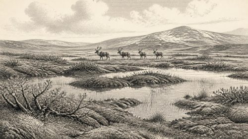
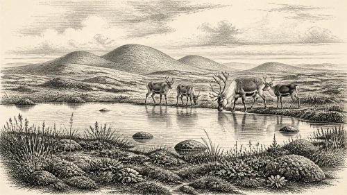
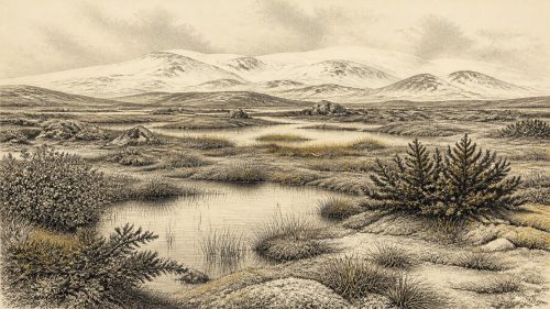
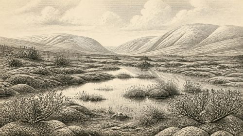
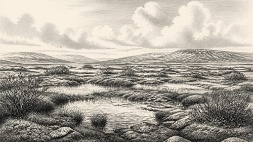
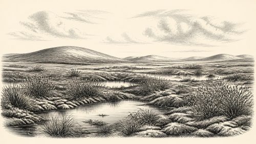
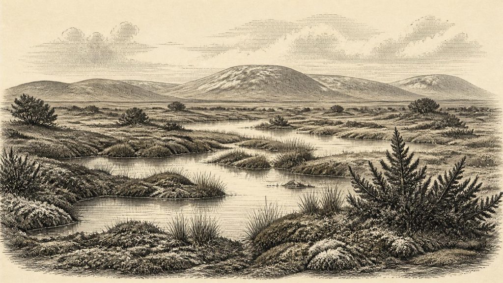
Derryvree is not evidence for a pleasant interlude. Its pollen, plant macrofossils, mosses and insect remains indicate open, treeless tundra or muskeg: a wet, cold landscape with grasses, sedges, herbs, low shrubs, mossy ground and shallow pools rich in plant matter. Some dry surfaces may have carried only sparse vegetation. Permafrost or seasonally frozen ground, severe winters and short growing seasons are reasonable inferences from this assemblage. Yet the freshwater deposits also make an essential corrective to the image of an entirely lifeless frozen land. Liquid water, wetland plants and active sedimentation persisted locally.
The record is necessarily selective. Waterlogged basins preserve pollen, seeds, moss fragments and insects far better than exposed slopes do; later glaciers may have destroyed many other deposits. Derryvree therefore provides a detailed window onto one particular environment rather than a map of the whole island. Still, it is exceptionally valuable because few Irish deposits from this part of the glacial cycle have survived both erosion and later ice action so clearly. Its strata record a real ecological setting, not merely an abstract climatic phase.
Evidence from Crag Cave in County Kerry supports the broader conclusion that conditions during the last glacial were variable rather than permanently frozen. Uranium-series dates from cave calcite show episodic speleothem growth through parts of Marine Isotope Stage 3. Because calcite deposition in a shallow cave system requires infiltrating liquid water, these growth phases indicate intervals when local conditions allowed water to move through soils and limestone. They do not supply a day-to-day weather report for 31,812 BCE, nor do they prove that all Ireland was simultaneously mild. They do show that climatic shifts registered strongly even on the Atlantic edge of Europe.
Animals and the Limits of Association
Ireland’s cave collections demonstrate that large mammals entered or survived in the island’s cold-stage landscapes at different times. Castlepook Cave near Doneraile, County Cork, has produced remains attributed to reindeer, brown bear, wolf or fox, hare, Arctic lemming, spotted hyaena and woolly mammoth. Such animals fit an open, often harsh environment, but their presence in a cave does not mean that every species lived together in one season, still less that they formed an intact “Irish Ice Age fauna” at the exact moment under discussion. Caves are places where bones can be accumulated by carnivores, scavengers, water, roof falls, excavation and later disturbance.
The chronology also requires caution. Earlier dates obtained from Irish cave bones have been reassessed as laboratory methods improved, especially the pretreatment of ancient bone collagen. Some once influential determinations are now considered unreliable. A reindeer femur from Castlepook has been reported as roughly 33,000 years old and bears a mark interpreted as consistent with cutting by a sharp stone tool. If that interpretation is upheld, it may indicate human processing of a carcass during the wider period. But the bone comes from an old cave collection, not a modern excavation of an undisturbed camp floor. It cannot establish a permanent settlement, a population size or an exact human presence in 31,812 BCE.
No Polities, No Recorded Conflicts
There is no evidence for political institutions, named groups, leaders, diplomacy, territorial states or organised warfare in Ireland at this date. There are likewise no settlements, houses, graves, monuments, writing systems or art securely dated to this narrow point in time. It would be misleading to fill those silences with imagined Ice Age clans, chiefs or battles. The archaeological question is more basic: whether people reached Ireland intermittently during favourable windows before later ice expansion erased much of the evidence.
Across north-west Europe, Homo sapiens communities of the Upper Palaeolithic lived by hunting, gathering, seasonal movement and extensive practical knowledge of animal behaviour and raw materials. That continental context can suggest what a hypothetical Irish visit might have involved: mobile people exploiting a carcass, seeking shelter, carrying stone tools or following animal routes. It cannot be transferred wholesale to Ireland. No securely dated Irish hearth, stone-tool assemblage, dwelling or human bone provides the social detail needed to describe families, gender roles, language, learning or ritual here around 33,800 calibrated years BP.
Movement, Sea and Ice
Lower global sea levels exposed land now drowned around the Irish and Celtic seas, while the loading and movement of ice altered relative sea level locally. These processes make ancient geography complicated. Lower seas did not automatically create a simple, continuous walking route between Ireland, Britain and continental Europe; ice cover, marine channels and changing crustal levels all mattered. Any route taken by animals or people remains uncertain. The prudent conclusion is that Ireland’s accessibility changed through time, not that a particular land bridge existed in this year.
There is no evidence for agriculture, livestock keeping, cereal cultivation, mining, long-distance trade or a recognisable Irish economy in the later prehistoric sense. If people did visit, subsistence would most plausibly have depended on opportunistic hunting and scavenging within a mobile foraging economy, but even that is an interpretation resting principally on one debated modified bone. Nor can religion be reconstructed. Caves may have provided shelter or served as carnivore dens and natural traps; nothing securely demonstrates ceremonial use in Ireland at this date.
A Landscape Before the Great Advance
The most significant development around 31,812 BCE was environmental, not political: parts of Ireland retained ice-free terrain and freshwater habitats during a cold, volatile phase before the later expansion of the British–Irish Ice Sheet. Derryvree’s buried silts preserve the clearest local testimony—wet tundra, mosses, sedges, herbs, shallow water and seasonal cold—while Crag Cave records the wider rhythm of climatic amelioration and deterioration. Faunal finds from southern caves show that cold-adapted mammals belonged to the island’s wider Pleistocene story, though their dates and associations must be separated carefully.
This is an Irish past known through sediments, bones, insects and cave calcite rather than chronicles. The absence of a named event is not an absence of history. It is a reminder that environmental archives have their own scale of time: they can show changing water, vegetation, animals and ice across long calibrated ranges, but they cannot truthfully turn 31,812 BCE into a precise anniversary. At Derryvree, the freshwater world was later entombed beneath glacial deposits. Its survival allows a fleeting but unusually vivid view of an Ireland that would otherwise have been almost wholly erased.
Source References
Hover over a number to see the source. Select it to open the source.

- [1] Middle Midlandian Freshwater Series at Derryvree, Maguiresbridge, County Fermanagh, Northern Ireland
- [2] Middle Midlandian Freshwater Series at Derryvree, Maguiresbridge, County Fermanagh, Northern Ireland
- [3] Palaeoecology
- [4] Figure 6—The Subdivision of the Quaternary Period in Ireland
- [5] Trimlines, Blockfields and the Vertical Extent of the Last Ice Sheet in Southern Ireland
- [6] Episodic Speleothem Deposition Tracks the Terrestrial Impact of Millennial-Scale Last Glacial Climate Variability in SW Ireland
- [7] Spatio-Temporal Dynamics of Speleothem Growth and Glaciation in the British Isles
- [8] Growth and Retreat of the Last British–Irish Ice Sheet, 31,000 to 15,000 Years Ago: the BRITICE-CHRONO Reconstruction
- [9] Growth and Retreat of the Last British–Irish Ice Sheet, 31,000 to 15,000 Years Ago: the BRITICE-CHRONO Reconstruction
- [10] Pattern and Timing of Retreat of the Last British-Irish Ice Sheet
- [11] Radiocarbon Constraints on the Age of the Maximum Advance of the British-Irish Ice Sheet in the Celtic Sea
- [12] Timing, Pace and Controls on Ice Sheet Retreat: an Introduction to the BRITICE-CHRONO Transect Reconstructions of the British–Irish Ice Sheet
- [13] A Reconsideration of the Radiocarbon Dating of the Marine Isotope Stage 3 Fauna from Southern Ireland
- [14] Heritage Artefacts of County Cork
- [15] Archaeology Research Excavation Grant 2022: Castlepook Cave Final Report
- [16] 32564: Castlepook Cave, Ballyhooly, Cork
- [17] New Insights on the Fauna of Ireland’s Younger Dryas and Early Holocene from Alice & Gwendoline Cave
- [18] New Insights on the Fauna of Ireland’s Younger Dryas and Early Holocene from Alice & Gwendoline Cave
- [19] The Mesolithic in Ireland: When Was It?
- [20] Ireland: Submerged Prehistoric Sites and Landscapes
- [21] Deglaciation, Earth Crustal Behaviour and Sea-Level Changes in the Determination of Insularity: A Perspective from Ireland
- [22] The Problem of a Late Quaternary Landbridge Between Britain and Ireland
- [23] A North-Western Habitat: the Paleoethology and Colonisation of a European Peninsula
Primary Sources
- Middle Midlandian Freshwater Series at Derryvree, Maguiresbridge, County Fermanagh, Northern Ireland
- Middle Midlandian Freshwater Series at Derryvree, Maguiresbridge, County Fermanagh, Northern Ireland
- Palaeoecology
- Figure 6—The Subdivision of the Quaternary Period in Ireland
- Trimlines, Blockfields and the Vertical Extent of the Last Ice Sheet in Southern Ireland
- Episodic Speleothem Deposition Tracks the Terrestrial Impact of Millennial-Scale Last Glacial Climate Variability in SW Ireland
- Spatio-Temporal Dynamics of Speleothem Growth and Glaciation in the British Isles
- Growth and Retreat of the Last British–Irish Ice Sheet, 31,000 to 15,000 Years Ago: the BRITICE-CHRONO Reconstruction
- Growth and Retreat of the Last British–Irish Ice Sheet, 31,000 to 15,000 Years Ago: the BRITICE-CHRONO Reconstruction
- Pattern and Timing of Retreat of the Last British-Irish Ice Sheet
- Radiocarbon Constraints on the Age of the Maximum Advance of the British-Irish Ice Sheet in the Celtic Sea
- Timing, Pace and Controls on Ice Sheet Retreat: an Introduction to the BRITICE-CHRONO Transect Reconstructions of the British–Irish Ice Sheet
- A Reconsideration of the Radiocarbon Dating of the Marine Isotope Stage 3 Fauna from Southern Ireland
- Heritage Artefacts of County Cork
- Archaeology Research Excavation Grant 2022: Castlepook Cave Final Report
- 32564: Castlepook Cave, Ballyhooly, Cork
- New Insights on the Fauna of Ireland’s Younger Dryas and Early Holocene from Alice & Gwendoline Cave
- New Insights on the Fauna of Ireland’s Younger Dryas and Early Holocene from Alice & Gwendoline Cave
- The Mesolithic in Ireland: When Was It?
- Ireland: Submerged Prehistoric Sites and Landscapes
- Deglaciation, Earth Crustal Behaviour and Sea-Level Changes in the Determination of Insularity: A Perspective from Ireland
- The Problem of a Late Quaternary Landbridge Between Britain and Ireland
- A North-Western Habitat: the Paleoethology and Colonisation of a European Peninsula