Derryvree Peatland31628 BCE
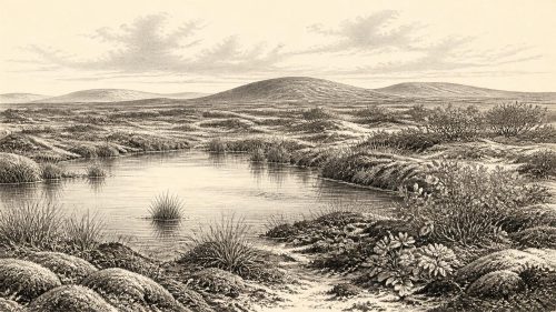
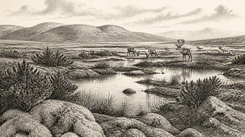
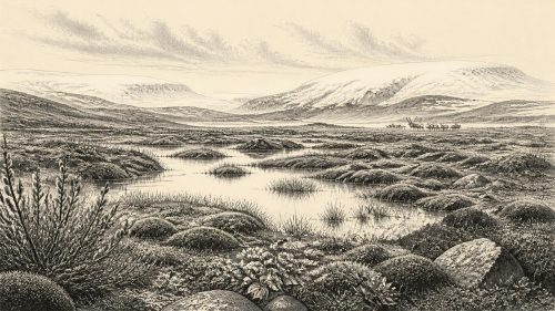
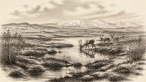
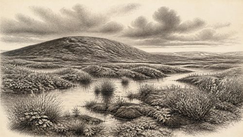
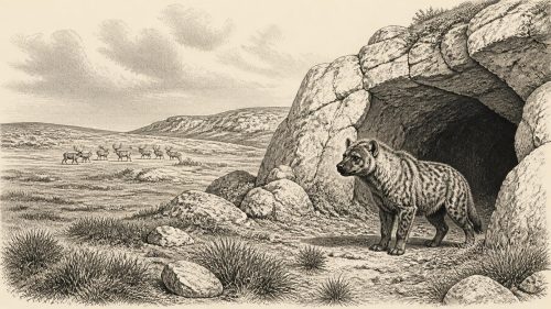
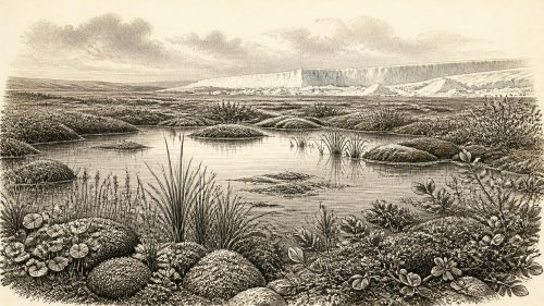
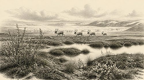
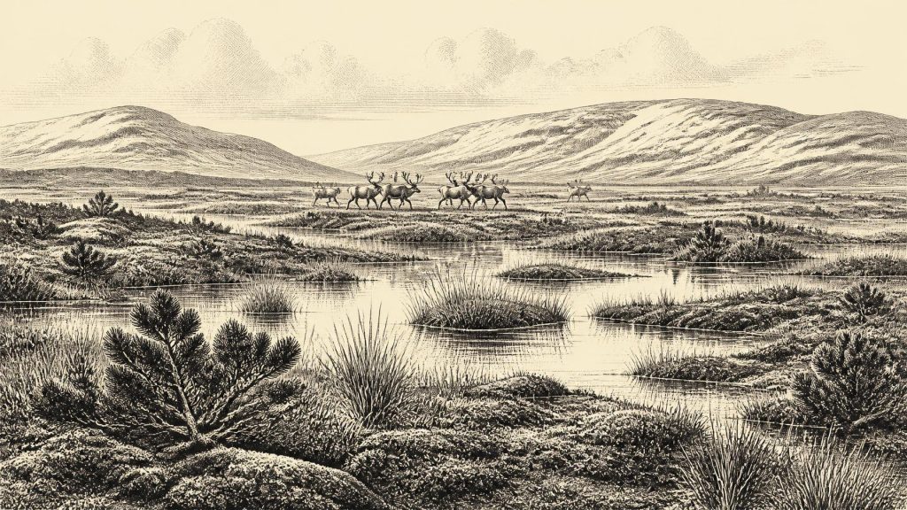
Around 31,628 BCE, a modern and necessarily imprecise label, Ireland lay in the fluctuating late Pleistocene MIS 3 interval, before the Last Glacial Maximum. Derryvree, near Maguiresbridge, preserves organic silts between glacial tills, showing an ice-free freshwater mosaic of tundra-like, largely treeless vegetation, insects and wet peaty ground. Castlepook Cave in Cork contains a chronologically mixed assemblage including mammoth, reindeer, giant deer and predators, demonstrating intermittent cold-stage animal communities. A marked reindeer bone may indicate brief Upper Palaeolithic human activity, but remains contested. Evidence cannot establish permanent settlement, routes, social life or events; later ice severely obscured much earlier landscapes.
Dateline
The label 31,628 BCE is a modern chronological marker, not a year that anybody in Ireland could have known, named or recorded. At this depth of time, it cannot responsibly be attached to a particular event, season, individual or generation. In the archaeological convention of years before present, counted from 1950, it lies roughly 33,600 calendar years ago, in the later part of Marine Isotope Stage 3, an unsettled interval of the Late Pleistocene. That conversion is only a guide to scale: radiocarbon ages must be calibrated, their ranges are often broad, and the surviving Irish evidence cannot be resolved to a calendar year. The appropriate subject is therefore Ireland in a wider environmental window around this notional date, rather than an imagined annal for it.
It was an Ice Age Ireland, but not simply an island buried beneath the ice sheet familiar from later glacial maps. The main Last Glacial Maximum expansion of the British–Irish Ice Sheet came afterwards, with major advances in the Celtic Sea and around Ireland occurring later in the glacial cycle. Around the 34th millennium before present, conditions varied sharply through time and place. Some land was available for plants and animals; other areas may have been affected by severe periglacial cold, local ice, frozen ground and unstable drainage. The evidence is fragmentary precisely because later ice and meltwater stripped, buried and rearranged so much of the older landscape.
A Date Without an Annal
The difference between a radiocarbon determination and a calendar age matters especially here. Organic silts at Derryvree, near Maguiresbridge in County Fermanagh, produced the important legacy result of 30,500 radiocarbon years BP, with a substantial uncertainty. Earlier published calibration placed that determination broadly between about 36,900 and 31,700 calendar years BP. Such a span includes the notional date in this article, but it does not date a Derryvree pool, plant or animal to 31,628 BCE itself. Modern calibration curves extend to this period and improve the framework, yet they do not turn one old determination into annual precision.
This caution is more than technical. There was no writing, no calendar, no named polity and no secure settlement sequence in Ireland from which to reconstruct public affairs. Archaeology can establish that a freshwater habitat existed at Derryvree during an ice-free interval, that cold-adapted animals were present in Ireland during broadly comparable phases, and that climate and ice margins changed. It cannot identify a chief, a treaty, a battle, a ritual gathering or a trading voyage in this particular year. Silence on these matters is not a gap to be filled with picturesque conjecture; it is the historical result of what the evidence does and does not preserve.
Water Beneath the Drumlin
Derryvree is the clearest Irish environmental archive relevant to this period. Road excavations in 1969 cut through a drumlin and revealed fine sands and organic silts between two distinct sheets of till, the debris left by glaciers. The organic layer was therefore deposited during an interval when freshwater and vegetation occupied the site before a subsequent ice advance sealed it below the drumlin. Its value lies not in offering a complete landscape map, but in preserving biological detail from ground that later glaciation might otherwise have erased.
Pollen, plant macrofossils, mosses and insect remains indicate open, predominantly treeless vegetation. Grasses, sedges, herbs and juniper are among the signals reported from the sequence. The assemblage has been interpreted as tundra or muskeg-like terrain: wet, mossy ground with shallow pools and organic-rich margins, set in a harsh periglacial climate. ‘Muskeg’ should not be read as a precise modern habitat transplanted wholesale into prehistoric Fermanagh. It is a useful description of a wet, peaty mosaic rather than evidence for a uniform bog stretching across Ireland.
For everyday life, the chief lesson is environmental difficulty. Frost, short growing seasons, exposed ground and seasonal water would have shaped where animals could graze and where any people might move. Yet Derryvree was not a lifeless white wilderness. Open plant cover supported insects; wet hollows held freshwater; and the wider faunal evidence shows that sizeable mammals reached Irish landscapes in parts of the Middle Midlandian. Local conditions almost certainly shifted more rapidly than a single annual label can convey.
Caves and Cold-Stage Animals
Castlepook Cave, in the Awbeg valley near Doneraile in north County Cork, provides the most important Irish faunal collection for the broad pre-maximum interval. Its caves yielded remains attributed to mammoth, reindeer, giant deer, brown bear, wolf, foxes, arctic fox, lemmings and spotted hyaena. This is powerful evidence that Ireland could at times support, or at least be visited by, a far richer cold-stage animal community than the island’s later historical fauna would suggest. Reindeer and mammoth point towards open feeding grounds, while predators and scavengers imply a food web rather than isolated wanderers.
But Castlepook must be handled with care. Much of the material was recovered in antiquarian excavations, from chambers whose deposits were disturbed, reworked or accumulated over long periods. Direct dates on different bones demonstrate that the collection is not a single moment frozen in time. A mammoth bone and a hyaena bone were once among the key evidence for a fauna around 34,000 radiocarbon years BP, while later dating programmes revealed a complicated chronological mixture. A cave is also not a straightforward census of the surrounding countryside: carnivores can carry prey in, water can move bones, and animals may die there naturally.
The responsible picture, then, is of ecological possibility rather than certainty about every species being present together in 31,628 BCE. Around this broad phase, open habitats in parts of Ireland were capable of supporting herbivores and their predators. The cave record also demonstrates repeated animal movement into the island over the long Pleistocene. It does not establish a continuous, stable fauna across all regions, nor does it prove that a particular mammoth herd crossed County Cork in the year supplied by the modern chronology.
The Human Question
The most consequential but most limited human evidence is a reindeer femur from Castlepook that has been reported as bearing a deep mark consistent with fresh-bone processing by a sharp stone tool, and as dating to roughly 33,000 years ago. If the dating, context and interpretation are sustained by further study, it would move evidence for human activity in Ireland far earlier than the formerly secure post-glacial record. It would suggest that Upper Palaeolithic people reached the island during a comparatively habitable phase of the Ice Age. Recent fieldwork has sought to investigate Castlepook afresh and assess its remaining deposits.
That finding cannot, however, bear the weight of a settled national origin story. There is no securely associated dwelling, hearth, burial, human bone, stone-tool assemblage or repeatedly occupied living surface from Ireland that can be assigned to this narrow period. Nor is there evidence for a permanent population, kin group, language, social hierarchy or migration route. The femur may ultimately document a brief visit by highly mobile hunters, perhaps involving the processing of one carcass; even that remains an interpretation requiring corroboration. It cannot identify the makers as ancestors of later Irish communities.
This distinction also limits what can be said about political affairs, conflict and diplomacy. No territories, leaders, alliances or organised warfare are archaeologically visible. Similarly, there is no direct evidence for religious practice, art, formal learning, exchange networks or domestic economy in Ireland around this point. Upper Palaeolithic communities elsewhere in Europe made sophisticated tools, ornaments and images, but importing those achievements into Ireland without Irish finds would be inference, not evidence. The absence of proof is particularly understandable where portable camps and organic materials faced tens of millennia of weathering, glaciation and sea-level change.
Routes, Coasts and Regional Change
Lower global sea level altered the geography of north-west Europe, but it is unsafe to imagine a simple dry land bridge from Britain to Ireland at this date. Whether a traversable connection existed depended on the changing form of the Irish Sea basin, local sea level, crustal movement and the position of ice. The presence of Pleistocene mammals proves that they reached Ireland during favourable intervals; it does not settle how each species travelled or whether people followed the same route. Any human visitors implied by Castlepook would have moved through a landscape whose coasts and waterways differed profoundly from those of modern Ireland.
Regional contrast is therefore central. Fermanagh preserves a wetland record below a drumlin; north Cork preserves cave bones; other former habitats are now lost beneath later deposits, beneath the sea, or were removed by ice. Derryvree and Castlepook should not be treated as neighbouring scenes from one simultaneous Irish day. They are separate, imperfect windows into a prolonged and fluctuating period. Together, nevertheless, they replace an older picture of an entirely blank Ireland with a more rigorous one: intermittently open land, cold-adapted wildlife, freshwater refuges and a still-unresolved possibility of very early human presence.
What Can Be Said Responsibly
For Ireland around 31,628 BCE, the most important development was environmental rather than political. The island was within the volatile later stages of MIS 3, before the principal advance of the last ice sheet. At Derryvree, an ice-free freshwater landscape supported tundra-like vegetation under severe climatic conditions. At Castlepook, a complex cave archive preserves evidence of large mammals and carnivores from the wider cold-stage world. A contested but important reindeer bone raises the possibility that people were present, perhaps briefly, at roughly this time.
That is a substantial history, even without a named event. It shows Ireland as neither timelessly isolated nor securely inhabited: a changing northern landscape repeatedly opened to life and later transformed by ice. The discipline required by 31,628 BCE is to preserve the difference between evidence and imagination. The bones, silts, seeds, pollen and insects permit a vivid but bounded reconstruction. Beyond them lie questions that future excavation, improved dating and renewed study of museum collections may clarify, but which this single calendar label cannot answer.
Source References
Hover over a number to see the source. Select it to open the source.

- [1] A Middle Midlandian Freshwater Series at Derryvree, Maguiresbridge, County Fermanagh, Northern Ireland
- [2] The Irish Quaternary Fauna Project
- [3] Irish Pleistocene Biostratigraphy
- [4] Pleistocene Vertebrates in the British Isles
- [5] Occurrence of Mammalia Relicts at Site Castlepook Cave
- [6] Castlepook Cave
- [7] County Geological Site Report: Castlepook Caves
- [8] Archaeological Heritage of County Cork
- [9] Archaeology Research Excavation Grant 2022
- [10] Castlepook Cave, County Cork, 2022: Excavation Report
- [11] The IntCal20 Northern Hemisphere Radiocarbon Age Calibration Curve (0–55 cal kBP)
- [12] IntCal Publications
- [13] Growth and Retreat of the Last British-Irish Ice Sheet, 31,000 to 15,000 Years Ago
- [14] Trimlines, Blockfields and the Vertical Extent of the Last Ice Sheet in Southern Ireland
- [15] Deglaciation Chronology of the Donegal Ice Centre, North-west Ireland
- [16] Early Deglaciation of the British-Irish Ice Sheet on the Atlantic Shelf Northwest of Ireland Driven by Glacioisostatic Depression and High Relative Sea Level
- [17] Radiocarbon Constraints on the Age of the Maximum Advance of the British-Irish Ice Sheet in the Celtic Sea
- [18] Deglaciation, Earth Crustal Behaviour and Sea-Level Changes in the Determination of Insularity: A Perspective from Ireland
- [19] The Problem of a Late Quaternary Landbridge Between Britain and Ireland
- [20] The Subdivision of the Quaternary Period in Ireland
Primary Sources
- A Middle Midlandian Freshwater Series at Derryvree, Maguiresbridge, County Fermanagh, Northern Ireland
- The Irish Quaternary Fauna Project
- Irish Pleistocene Biostratigraphy
- Pleistocene Vertebrates in the British Isles
- Occurrence of Mammalia Relicts at Site Castlepook Cave
- Castlepook Cave
- County Geological Site Report: Castlepook Caves
- Archaeological Heritage of County Cork
- Archaeology Research Excavation Grant 2022
- Castlepook Cave, County Cork, 2022: Excavation Report
- The IntCal20 Northern Hemisphere Radiocarbon Age Calibration Curve (0–55 cal kBP)
- IntCal Publications
- Growth and Retreat of the Last British-Irish Ice Sheet, 31,000 to 15,000 Years Ago
- Trimlines, Blockfields and the Vertical Extent of the Last Ice Sheet in Southern Ireland
- Deglaciation Chronology of the Donegal Ice Centre, North-west Ireland
- Early Deglaciation of the British-Irish Ice Sheet on the Atlantic Shelf Northwest of Ireland Driven by Glacioisostatic Depression and High Relative Sea Level
- Radiocarbon Constraints on the Age of the Maximum Advance of the British-Irish Ice Sheet in the Celtic Sea
- Deglaciation, Earth Crustal Behaviour and Sea-Level Changes in the Determination of Insularity: A Perspective from Ireland
- The Problem of a Late Quaternary Landbridge Between Britain and Ireland
- The Subdivision of the Quaternary Period in Ireland