Debated Cutmark31355 BCE
Around 31,355 BCE, Ireland formed a climatically unstable, regionally varied landscape during Marine Isotope Stage 3, not a precisely datable historical moment. Ice advances and retreats created mosaics of tundra, freshwater basins and exposed ground; Derryvree in Fermanagh demonstrates ice-free, treeless ecosystems supporting plants and insects. Castlepook Cave, County Cork, produced Ice-Age fauna and a reindeer femur bearing a possible stone-tool cut mark, tentatively suggesting early human carcass processing. Poor stratigraphic records and uncertain mark interpretation prevent claims of settlement or cultural affiliation. Firmly dated human activity in Ireland still remains much later, making Castlepook an important but unconfirmed threshold.
Dateline
The label 31,355 BCE is useful only as a modern point of reference. Nobody in Pleistocene Ireland recorded years, and archaeology cannot identify an event, season or human life at that degree of calendar precision. In numerical terms, it falls about 33,304 years before the conventional radiocarbon reference year of AD 1950, within the later part of Marine Isotope Stage 3 (MIS 3), a long and climatically unstable phase of the last Ice Age. The responsible history of Ireland at this point is therefore not a chronicle of a particular year. It is a reconstruction from cave bones, glacial sediments, pollen, insects and radiocarbon measurements, each with its own chronological uncertainty.
A Date Within a Range
At this depth of time, calendar conversion demands care. Radiocarbon ages are not calendar years: atmospheric carbon-14 levels changed markedly through the Ice Age, and a single measurement can calibrate to a broad or even discontinuous span of possible dates. IntCal20, the current Northern Hemisphere calibration curve, reaches back to 55,000 calibrated years before present, but it does not turn every find into a precisely dated historical episode. The numbered year should thus be understood as standing within a wider interval, approximately the early thirty-third millennium before present, rather than as a moment to which an Irish event can securely be attached.
The environmental framework is clearer than the human story. MIS 3, conventionally dated to roughly 60,000–27,000 calibrated years before present, was neither uniformly frozen nor steadily warming. Greenland ice-core records show sharp shifts between relatively milder interstadials and colder stadials. Those shifts affected north-west Europe, but their precise local expression in Ireland remains difficult to establish. Ice margins moved, sea levels were lower than today, and the extent of open land, snow cover, lakes and ice varied sharply from region to region and through time.
An Uneven Ice-Age Ireland
Ireland was not a simple white expanse permanently buried under a single, static ice sheet. Research on the British–Irish Ice Sheet shows that its growth and retreat were asynchronous: different sectors advanced and responded differently to climatic change. By about 32,000–31,000 years ago, ice associated with Scotland was advancing through the North Minch, while the full-scale Last Glacial Maximum still lay ahead. The eventual maximum, broadly between 26,000 and 20,000 years ago, would remodel much of Ireland’s surface. Around the notional date considered here, however, the best interpretation is one of regional uncertainty and environmental change rather than complete, simultaneous glaciation of the island.
A major northern Irish clue comes from Derryvree near Maguiresbridge, County Fermanagh. There, road works exposed freshwater silts and fine sands sealed between two substantial tills: deposits laid down when water and vegetation occupied a landscape later overridden by ice. The published radiocarbon determination from the organic sequence, 30,500 +1,170/−1,030 radiocarbon years BP, belongs to the broad Middle Midlandian record. It cannot be treated as an exact match for 31,355 BCE, especially without presenting a modern calibrated probability range, but it demonstrates a crucial point: Ireland contained ice-free freshwater environments during parts of this wider glacial cycle.
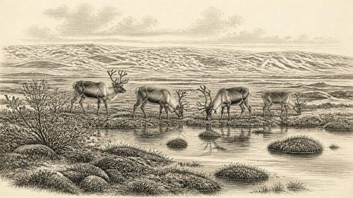
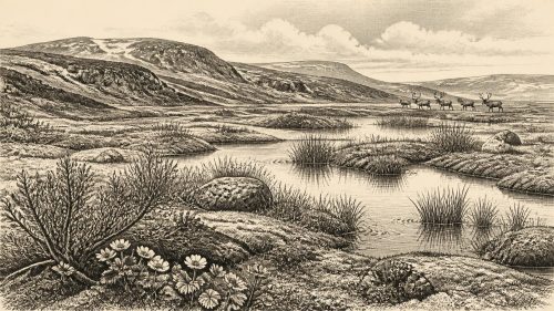
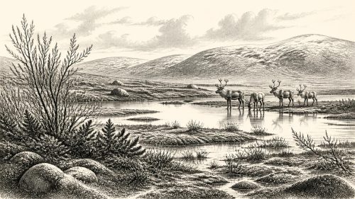
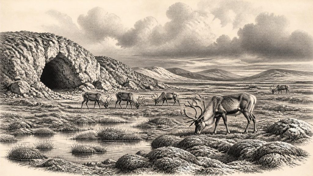
The Derryvree plant and insect evidence indicates a cold, treeless landscape, but not a lifeless one. Mosses, sedges, aquatic plants and low-growing tundra or steppe-tundra vegetation occupied wet hollows and shallow waters. Such evidence does not mean that every part of Ireland looked alike. It does show that sheltered basins could preserve freshwater ecosystems between episodes of glaciation. The Ireland of this era was a mosaic shaped by frost, wind, meltwater, exposed mineral ground and short growing seasons, rather than the wooded island familiar from later prehistory.
The Castlepook Evidence
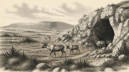
The most consequential Irish object broadly associated with this time is a fragment of reindeer femur from Castlepook Cave near Doneraile, County Cork. Castlepook is a limestone cave system with a long history of antiquarian excavation and a remarkable Ice-Age faunal collection. Reindeer, mammoth, giant deer, brown bear, Arctic fox, hare, lemmings, wolf and spotted hyaena are among the animals identified from deposits or finds associated with the cave. They do not all belong to one occupation layer or one brief moment. Their presence instead records repeated, changing animal communities across a large part of the Late Pleistocene.
The reindeer bone has attracted attention because Ruth Carden identified a deep mark on it as consistent with cutting or chopping by a sharp stone tool while the bone was fresh. County Cork heritage material dates the specimen broadly to about 31,000 BCE and presents it as possible evidence for Palaeolithic hunters following reindeer. If the interpretation is confirmed, it would push evidence for human activity in Ireland dramatically earlier than the established terminal-Pleistocene record. It would demonstrate that people at least handled a reindeer carcass in Ireland during an earlier Ice-Age phase.
Yet the distinction between possibility and proof is essential. A radiocarbon date establishes the age of sampled bone, not automatically the moment at which a surface mark was made. A mark identified as a cut mark must be separated from damage caused by carnivores, sediment movement, excavation, handling or other natural and modern processes. Moreover, Castlepook’s older collections were excavated before modern standards of stratigraphic recording. The cave has yielded deposits disturbed, redeposited or mixed over long periods, and it is unsurprising that later study has revised some earlier faunal dates and identifications elsewhere in Ireland.
Visitors, Not Yet a Population
For those reasons, Castlepook cannot responsibly be described as an Irish village, camp or settled homeland in 31,355 BCE. No securely associated hearth, stone-tool assemblage, dwelling floor, human burial, decorated cave wall or repeatedly used butchery place of comparable age has been recovered there. Nor can a single bone assign its possible handlers to an Aurignacian, Gravettian or any other continental archaeological tradition. Those cultural labels depend on diagnostic assemblages, especially stone tools, which Ireland has not produced for this proposed early horizon.
What the find may support is a much narrower and more intriguing proposition: a small, mobile human party could have reached Ireland during a favourable interval and processed animal food. Reindeer were highly mobile grazers adapted to cold, open country, and their seasonal movements could have made them valuable prey or scavenging opportunities for Upper Palaeolithic hunters elsewhere in Europe. But the Irish evidence does not reveal whether the animal was hunted, found dead, butchered near the cave or carried there after initial processing. It certainly does not show how many people were present, how long they stayed, their language, ancestry or social organisation.
Movement itself was a formidable issue. Lower sea levels altered the outlines of the Irish Sea basin, but there is no secure evidence for a durable, dry land bridge between Ireland and Britain during this part of the last glacial cycle. Any people represented at Castlepook therefore cannot simply be imagined walking across an uninterrupted plain from continental Europe. Ice, changing coastlines, sea channels and perhaps short water crossings all require consideration; none is documented directly by a find from the cave. The route remains one of the central unanswered questions.
Life Beyond the Record
Political affairs, diplomacy and formal warfare leave no trace that can be assigned to Ireland at this date. There were no states, kingships, written agreements or boundaries known from the evidence. Even conflict between small groups cannot be inferred from the Castlepook bone. If people did enter the island, their practical concerns were more immediate: finding shelter, fuel, drinkable water, animal resources and a safe route through an exposed, cold landscape. These are plausible conditions of survival, not directly observed scenes from Irish life.
Likewise, there is no evidence for religion, ritual, art, teaching institutions or trade networks in Ireland around this notional year. Upper Palaeolithic Europe elsewhere produced sophisticated tools, ornaments, visual culture and long-distance circulation of valued stone and shell. Such comparisons establish what contemporaries in broader Europe were capable of; they do not transfer those practices to Ireland. The absence of Irish evidence may partly reflect a genuinely brief human presence, but preservation also matters. Later ice erosion, acidic soils, sea-level change and the limited survival of cave deposits have removed or obscured much of the potential record.
A Threshold Rather Than a Beginning
The strongest development relevant to 31,355 BCE is therefore environmental and evidential. Ireland lay within a volatile Ice-Age world in which cold open habitats could support reindeer and other specialised fauna, while advancing ice progressively narrowed the possibilities for animals and any human visitors. Derryvree preserves the ecological possibility of freshwater tundra landscapes; Castlepook preserves the much more tentative possibility of human action within one of them. Neither source permits a year-by-year narrative, but together they overturn the older assumption that Ireland had no significant pre-Last-Glacial-Maximum story.
The first firmly dated evidence for human activity in Ireland remains much later. A cut-marked brown-bear patella from Alice and Gwendoline Cave, County Clare, has two independent calibrated radiocarbon ranges of 12,810–12,590 and 12,810–12,685 cal BP. That contrast explains why Castlepook matters so much. It is not yet a settled chapter of national prehistory, but a threshold: one marked reindeer bone, a demanding cave archive and a question about how far Ice-Age people ventured into the north-western edge of Europe.
Source References
Hover over a number to see the source. Select it to open the source.

- [1] A Middle Midlandian Freshwater Series at Derryvree, Maguiresbridge, County Fermanagh, Northern Ireland
- [2] The Irish Quaternary Fauna Project
- [3] Growth and Retreat of the Last British–Irish Ice Sheet, 31,000 to 15,000 Years Ago: The BRITICE-CHRONO Reconstruction
- [4] BRITICE Glacial Map, Version 2: A Map and GIS Database of Glacial Landforms of the Last British–Irish Ice Sheet
- [5] The Problem of a Late Quaternary Landbridge Between Britain and Ireland
- [6] The IntCal20 Northern Hemisphere Radiocarbon Age Calibration Curve (0–55 cal kBP)
- [7] IntCal Publications
- [8] IntCal Data
- [9] Greenland Ice-Core Chronology 2005 (GICC05) for Various Greenland Ice Cores
- [10] A Stratigraphic Framework for Abrupt Climatic Changes During the Last Glacial Period Based on Three Synchronized Greenland Ice-Core Records
- [11] Radiocarbon Dating Results: Calibration
- [12] Radiocarbon, Volume 16, Number 1: University of Dublin Radiocarbon Dates I
- [13] Heritage Artefacts of County Cork
- [14] Archaeology Research Excavation Grant 2022: Final Report
- [15] Ireland Through Geological Time
- [16] The Mesolithic in Ireland: When Was It?
- [17] First Evidence of a Late Upper Palaeolithic Human Presence in Ireland
- [18] New Insights on the Fauna of Ireland’s Younger Dryas and Early Holocene from Alice & Gwendoline Cave
- [19] The Late Quaternary History of East-Central Ireland
- [20] New Data for the Last Glacial Maximum in Great Britain and Ireland
Primary Sources
- A Middle Midlandian Freshwater Series at Derryvree, Maguiresbridge, County Fermanagh, Northern Ireland
- The Irish Quaternary Fauna Project
- Growth and Retreat of the Last British–Irish Ice Sheet, 31,000 to 15,000 Years Ago: The BRITICE-CHRONO Reconstruction
- BRITICE Glacial Map, Version 2: A Map and GIS Database of Glacial Landforms of the Last British–Irish Ice Sheet
- The Problem of a Late Quaternary Landbridge Between Britain and Ireland
- The IntCal20 Northern Hemisphere Radiocarbon Age Calibration Curve (0–55 cal kBP)
- IntCal Publications
- IntCal Data
- Greenland Ice-Core Chronology 2005 (GICC05) for Various Greenland Ice Cores
- A Stratigraphic Framework for Abrupt Climatic Changes During the Last Glacial Period Based on Three Synchronized Greenland Ice-Core Records
- Radiocarbon Dating Results: Calibration
- Radiocarbon, Volume 16, Number 1: University of Dublin Radiocarbon Dates I
- Heritage Artefacts of County Cork
- Archaeology Research Excavation Grant 2022: Final Report
- Ireland Through Geological Time
- The Mesolithic in Ireland: When Was It?
- First Evidence of a Late Upper Palaeolithic Human Presence in Ireland
- New Insights on the Fauna of Ireland’s Younger Dryas and Early Holocene from Alice & Gwendoline Cave
- The Late Quaternary History of East-Central Ireland
- New Data for the Last Glacial Maximum in Great Britain and Ireland