Freshwater Sedges31339 BCE
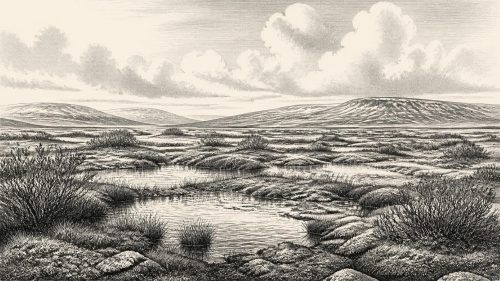
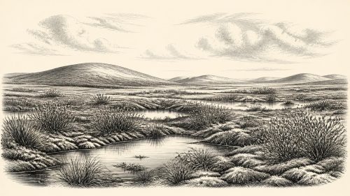
Around 31,339 BCE, Ireland has no historical record; the date falls within unstable Marine Isotope Stage 3. At Derryvree, County Fermanagh, freshwater sediments between glacial tills, dated broadly to 36,900–31,700 calibrated BP, preserve evidence of cold, treeless wetland tundra, with sedges, mosses, pools and sparse vegetation. Castlepook Cave, County Cork, contains MIS 3 remains of mammoth, giant deer, reindeer, bears and hyaenas, although its mixed deposits cannot establish a single community. A possibly cut-marked reindeer bone suggests transient human activity, not settlement. Ireland’s changing ice, sea and land conditions preceded the Last Glacial Maximum, leaving ecological rather than political history.
Dateline
The label 31,339 BCE is a modern calendrical convenience, not a date to which Irish archaeology can attach an event, a ruler, a journey or even a particular season. At this depth of time, precision is measured in radiocarbon determinations, calibrated probability ranges and layers of sediment, not in individual years. In conventional before-present terms, this point lies roughly 33,300 calendar years before AD 1950, in the later part of the Late Pleistocene and within Marine Isotope Stage 3 (MIS 3), a climatically unsettled interval of the last Ice Age.
The responsible history of Ireland at this point is therefore a history of environments and fragmentary traces. There are no written records, named peoples, buildings, graves, tools securely dated to this exact year, or evidence from which to reconstruct a political map. What survives is both less dramatic and more remarkable: a buried freshwater deposit beneath a Fermanagh drumlin, cave-bone assemblages from north Cork, deposits in south-western caves, and the wider geological record of a changing British–Irish ice-sheet system. Together, they show that Ice Age Ireland was neither a timeless white void nor a recognisably modern island.
A Date Within a Broad Interval
The closest unusually detailed Irish environmental archive is at Derryvree, near Maguiresbridge in County Fermanagh. Road works in 1969 cut through a drumlin and exposed fine sands, silts and organic sediments trapped between two distinct tills: unsorted deposits left by glacier ice. The position of this freshwater sequence is crucial. Before the upper till was laid down, water and wet ground existed locally; afterwards, advancing ice buried and preserved the evidence. The deposit is a rare survival from an era whose landscapes were repeatedly eroded, reworked or concealed by later glaciation.
The Derryvree organic material produced radiocarbon determination BIRM-166, conventionally reported as 30,500 radiocarbon years BP with a large error range. Radiocarbon years are not calendar years. Atmospheric carbon-14 has varied through time, so dates must be calibrated against independently constructed curves; at this age, the resulting calendar interval is necessarily broad. Later discussion places Derryvree approximately between 36,900 and 31,700 calibrated years BP. That range includes the chronological neighbourhood represented by 31,339 BCE, but it does not prove that every fossil in the deposit, let alone a particular landscape condition, belongs to that numbered year.
This distinction is more than technical. The evidence establishes that a cold freshwater environment existed at Derryvree during part of this interval. The interpretation—that it represents an ice-free or less heavily glaciated window between advances, under a periglacial climate—is strongly supported by its stratigraphic setting and fossil content. Yet it remains a reconstruction of a local basin, not an aerial photograph of all Ireland. Conditions on uplands, coasts and areas closer to active ice margins could have differed substantially.
Fermanagh’s Cold Wet Ground
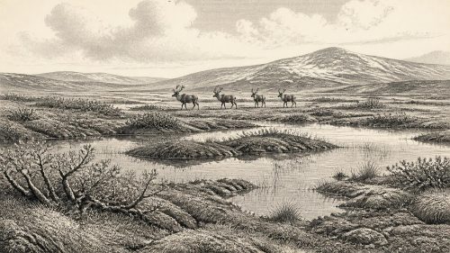
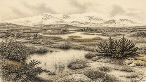
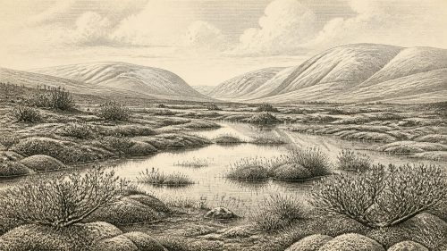
Pollen, plant macrofossils, mosses and insect remains from Derryvree offer the clearest picture of everyday ecological conditions. The assemblage indicates open, treeless tundra-like vegetation rather than closed woodland. Grasses and sedges were important. Mosses grew on saturated ground, while fossils attributed to plants including bogbean, mountain avens and lesser clubmoss indicate a mosaic of shallow freshwater, wet margins and sparsely vegetated ground. Juniper pollen occurs, but sparse tree pollen cannot responsibly be used to conjure a local forest: such grains may have travelled far, and the wider plant evidence points away from wooded country.
“Tundra” is useful shorthand, provided it is not mistaken for sameness. Derryvree was probably a patchwork of pools, sedge beds, mossy hollows, exposed mineral soils and low vegetation. The growing season was short and winters severe. Frost action, seasonal snow cover and freeze–thaw processes would have shaped soils and drainage. Nonetheless, the site demonstrates that cold landscapes contained functioning food webs. Aquatic and marginal plants produced organic matter; invertebrates occupied wet habitats; and vegetation, though low and discontinuous, could support herbivores in the wider region.
In this setting, the later familiar image of Ireland as a green, hedged and wooded agricultural island is profoundly misleading. There were no fields, roads, farms or shore-to-shore political territories. Nor can the Derryvree evidence identify a coast line with precision. Global sea level was lower during the Ice Age, but local relative sea level depended also on the weight of nearby ice and movements of the land. Rather than imagining a fixed land bridge or a stable island boundary, it is safer to picture a North Atlantic edge whose ice, sea and accessible ground changed over millennia.
Animals at the Atlantic Edge
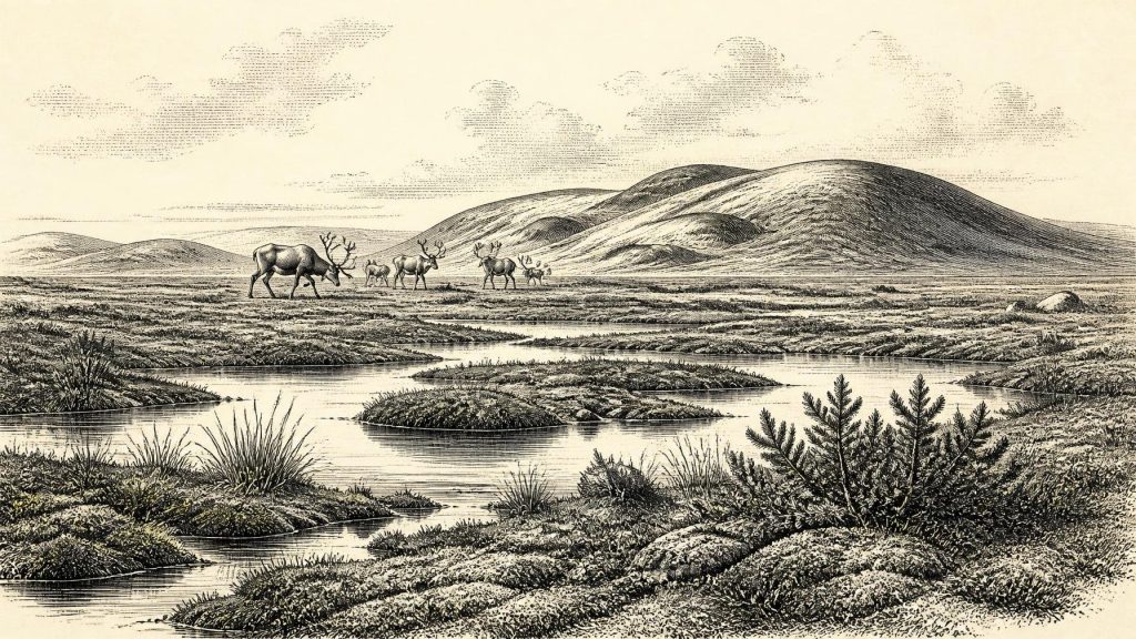
Castlepook Cave, near Doneraile in north County Cork, supplies a complementary record. Known historically as Mammoth Cave, it is Ireland’s richest known cave assemblage for vertebrate life in the long period leading towards the Last Glacial Maximum. More than 2,000 bones recovered chiefly during early twentieth-century excavation represent a mixture accumulated over a very long span, not a single living community. Direct redating, especially work led by Ruth Carden and colleagues, has shown that some earlier Irish cave chronologies were too young and that important Castlepook fauna belongs to MIS 3.
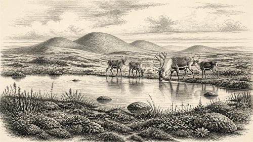
The recorded fauna includes woolly mammoth, giant deer, reindeer, brown bear and spotted hyaena, with Arctic fox, wolf and lemmings represented in later Ice Age material. This list should not be compressed into a claim that every species shared the same valley in 31,339 BCE. Cave deposits can mix material moved by carnivores, water, collapse and excavation, while directly dated bones establish the age of individual animals rather than an entire assemblage. Even so, the evidence shows that Ireland at different points in MIS 3 was connected ecologically to the broader north-west European cold-stage world and could sustain, or receive, large mammals adapted to open country.
Predators matter as much as spectacular herbivores. Spotted hyaenas may have used Castlepook as a den or bone repository, helping to explain how carcass parts entered the cave. That is an evidence-based caution against treating every bone as the residue of human hunting. Mammoths, reindeer and giant deer suggest landscapes with substantial grazing resources, but neither animal bones nor environmental proxies yield a census of herds, a migration route or a dependable account of seasonal behaviour in Ireland.
The Human Question
A reindeer femur from the Castlepook collection makes this period especially significant in Irish prehistory. It has been reported as bearing a deep linear modification interpreted as a stone-tool cut or chop made while the bone was fresh, and its date has been presented as about 33,000 years ago. If that interpretation is confirmed, it would indicate that people processed a reindeer in Ireland during the broad interval close to this article’s date. It would push possible human activity on the island far earlier than the better-established terminal-Pleistocene evidence.
But this is not a licence to write of a settled “first Irish” population in 31,339 BCE. The object came from an old cave collection, not from a modern excavation of an intact camp floor. A radiocarbon date proves the age of the animal bone, whereas identifying a mark as humanly made requires separate taphonomic judgement. No securely associated stone-tool assemblage, hearth, dwelling, burial, human bone or repeated occupation sequence of this age has been published from Castlepook. Excavation in 2022 found no cultural artefacts and underlined how much earlier work had disturbed the surviving cave deposits.
The most restrained inference is consequently also the strongest: a human visit is possible, perhaps even likely if the cut-mark reading withstands further study, but permanent residence and continuity cannot be demonstrated. Any visitors would have belonged broadly to the mobile hunter-gatherer world of Upper Palaeolithic north-west Europe. That comparison may explain how a small group could exploit a large animal and use sharp stone edges; it cannot supply their language, identity, kinship system or route to Ireland.
Society Beyond the Evidence
Political affairs, diplomacy and organised warfare cannot be recovered for Ireland around this date. There is no evidence for chiefs, tribes, alliances, territorial boundaries or conflict between human groups. Likewise, no Irish evidence identifies a religion, ceremonial place, artistic tradition, school of learning or system of exchange. The absence is not proof that people lacked beliefs, knowledge, social obligations or material culture. It means that the surviving record is too slight to describe them responsibly.
The economy visible in the evidence is principally an ecological one: plants colonised wet ground, herbivores used open landscapes, predators scavenged or hunted, and water, ice and sediment redistributed bones and organic material. If people were present, animal processing would suggest a short-lived extraction of meat, marrow, hide or sinew rather than agriculture, trade or permanent settlement. Nothing supports claims for farming, livestock, pottery, metalworking, boats, monuments or long-distance commercial networks in Ireland at this time.
Approaching Greater Ice
In the long view, 31,339 BCE lay before the full development of the Last Glacial Maximum, when the British–Irish Ice Sheet reached its greatest volume around 23,000 years BP. The advance was not a simple, island-wide curtain descending in one moment. Recent reconstructions stress asynchronous growth, shifting margins and differing behaviour between marine and terrestrial sectors. Derryvree’s freshwater deposits and the episodic growth of speleothems at Crag Cave in County Kerry both caution against assuming uninterrupted ice cover throughout MIS 3.
For Ireland, then, the most important development around this point was environmental instability. In Fermanagh, a cold wetland briefly accumulated sediments later sealed beneath glacial deposits. In Cork, caves received remains from an Ice Age fauna and perhaps one of the earliest traces of human activity on the island. These are not fragments of an annual chronicle. They are the durable residues of a severe, changing landscape—one in which life persisted at the edge of expanding ice, but whose human history remains only just visible.
Source References
Hover over a number to see the source. Select it to open the source.

- [1] A Middle Midlandian Freshwater Series at Derryvree, Maguiresbridge, County Fermanagh, Northern Ireland
- [2] A Reconsideration of the Radiocarbon Dating of the Marine Isotope Stage 3 Fauna from Southern Ireland
- [3] Castlepook Cave: Cork County Geological Site Report
- [4] 2022:564 — Castlepook Cave, Castlepook South, Cork
- [5] The Irish Quaternary Fauna Project
- [6] Irish Pleistocene Biostratigraphy
- [7] New Insights on the Fauna of Ireland’s Younger Dryas and Early Holocene from Alice & Gwendoline Cave
- [8] Palaeoecology: The Middle Midlandian Palaeoenvironment of South Fermanagh
- [9] Episodic Speleothem Deposition Tracks the Terrestrial Impact of Millennial-Scale Last Glacial Climate Variability in SW Ireland
- [10] Growth and Retreat of the Last British–Irish Ice Sheet, 31,000 to 15,000 Years Ago: The BRITICE-CHRONO Reconstruction
- [11] The Timing and Magnitude of the British–Irish Ice Sheet Between Marine Isotope Stages 5d and 2: Implications for Glacio-Isostatic Adjustment, High Relative Sea Levels and ‘Giant Erratic’ Emplacement
- [12] Late Pleistocene Chronostratigraphy and Ice Sheet Limits, Southern Ireland
- [13] Stratigraphic and Palaeo-Geomorphological Evidence for the Glacial-Deglacial History of the Last British-Irish Ice Sheet in the North-Western Irish Sea
- [14] Pattern and Timing of Retreat of the Last British-Irish Ice Sheet
- [15] Maximum Extent and Readvance Dynamics of the Irish Sea Ice Stream and Irish Sea Glacier Since the Last Glacial Maximum
- [16] Advance and Retreat of the Marine-Terminating Irish Sea Ice Stream into the Celtic Sea During the Last Glacial: Timing and Maximum Extent
- [17] The IntCal20 Northern Hemisphere Radiocarbon Age Calibration Curve (0–55 cal kBP)
- [18] A Stratigraphic Framework for Abrupt Climatic Changes During the Last Glacial Period Based on Three Synchronized Greenland Ice-Core Records: Refining and Extending the INTIMATE Event Stratigraphy
- [19] High-Resolution Record of Northern Hemisphere Climate Extending into the Last Interglacial Period
- [20] European Vegetation During Marine Oxygen Isotope Stage 3
Primary Sources
- A Middle Midlandian Freshwater Series at Derryvree, Maguiresbridge, County Fermanagh, Northern Ireland
- A Reconsideration of the Radiocarbon Dating of the Marine Isotope Stage 3 Fauna from Southern Ireland
- Castlepook Cave: Cork County Geological Site Report
- 2022:564 — Castlepook Cave, Castlepook South, Cork
- The Irish Quaternary Fauna Project
- Irish Pleistocene Biostratigraphy
- New Insights on the Fauna of Ireland’s Younger Dryas and Early Holocene from Alice & Gwendoline Cave
- Palaeoecology: The Middle Midlandian Palaeoenvironment of South Fermanagh
- Episodic Speleothem Deposition Tracks the Terrestrial Impact of Millennial-Scale Last Glacial Climate Variability in SW Ireland
- Growth and Retreat of the Last British–Irish Ice Sheet, 31,000 to 15,000 Years Ago: The BRITICE-CHRONO Reconstruction
- The Timing and Magnitude of the British–Irish Ice Sheet Between Marine Isotope Stages 5d and 2: Implications for Glacio-Isostatic Adjustment, High Relative Sea Levels and ‘Giant Erratic’ Emplacement
- Late Pleistocene Chronostratigraphy and Ice Sheet Limits, Southern Ireland
- Stratigraphic and Palaeo-Geomorphological Evidence for the Glacial-Deglacial History of the Last British-Irish Ice Sheet in the North-Western Irish Sea
- Pattern and Timing of Retreat of the Last British-Irish Ice Sheet
- Maximum Extent and Readvance Dynamics of the Irish Sea Ice Stream and Irish Sea Glacier Since the Last Glacial Maximum
- Advance and Retreat of the Marine-Terminating Irish Sea Ice Stream into the Celtic Sea During the Last Glacial: Timing and Maximum Extent
- The IntCal20 Northern Hemisphere Radiocarbon Age Calibration Curve (0–55 cal kBP)
- A Stratigraphic Framework for Abrupt Climatic Changes During the Last Glacial Period Based on Three Synchronized Greenland Ice-Core Records: Refining and Extending the INTIMATE Event Stratigraphy
- High-Resolution Record of Northern Hemisphere Climate Extending into the Last Interglacial Period
- European Vegetation During Marine Oxygen Isotope Stage 3