Cold Sedges30705 BCE
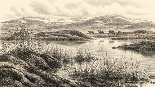
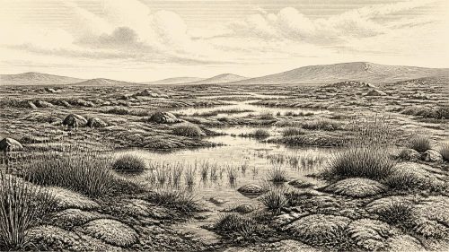
Around 30,705 BCE, Ireland lay within the unstable Middle Midlandian of Marine Isotope Stage 3, rather than a datable historical year. At Derryvree near Maguiresbridge, Fermanagh, freshwater organic deposits between glacial tills record an ice-free interval, although their radiocarbon age spans a broad range. Pollen, plants, mosses and insects indicate open, treeless, periglacial tundra with shallow water, sedges and cold-adapted flora. Cave remains from Cork and Waterford show that mammoths, reindeer, predators and lemmings intermittently reached Ireland, but mixed deposits prevent precise associations. No secure evidence confirms human presence, settlement, politics or culture. These fragmentary records reveal a varied landscape.
Dateline
The numbered year 30,705 BCE cannot be treated as a date in the historical sense. No written record, named individual, political event or calendar system exists for Ireland at this depth of time. Even the conversion is only a modern convenience: it falls roughly 32,650 years before AD 1950, the conventional “present” used in Quaternary science, but evidence is dated in ranges, not individual years. The responsible setting is the later Pleistocene, within Marine Isotope Stage 3 (MIS 3), during the Middle Midlandian phase of Irish glacial history. This was a world of abrupt climatic fluctuation, sparse evidence and landscapes repeatedly reshaped by ice.
A Date Between Deposits
Ireland around this point was approaching, but had not yet reached, the Last Glacial Maximum. The greatest expansion of the last British–Irish Ice Sheet occurred later, broadly between about 26,500 and 19,000 calibrated years before present. At 30,705 BCE, therefore, it would be misleading to picture the whole island either as permanently buried beneath ice or as a stable habitable country. The available record instead shows a changing mosaic: local ice, frost-affected ground, exposed uplands, wetlands and animal corridors altered as climate changed over centuries and millennia.
The most informative Irish environmental evidence for this broader cold phase comes from Derryvree, near Maguiresbridge in County Fermanagh. A road cutting exposed organic-rich freshwater layers lying between two tills, deposits left directly by ice. The order of the layers is decisive: after one episode of glaciation, the locality became ice-free long enough for freshwater sediment, plants and insects to accumulate; later, ice again laid down till above them. The organic layers produced a radiocarbon determination of 30,500 +1,170/−1,030 radiocarbon years BP. Calibration translates such a measurement into a broad calendar range rather than a single year; one later synthesis gives an approximate age around 35.9 ± 1.1 thousand calibrated years BP.
That range does not demonstrate that the Derryvree pool existed precisely in 30,705 BCE. It is older than the nominal year when expressed in calibrated calendar time, and its sediments accumulated over an interval. Yet it remains Ireland’s closest and clearest environmental witness to the kind of Middle Midlandian cold-world from which this date cannot responsibly be separated. Nearby Fermanagh sites at Hollymount and Greenagho likewise preserve organic deposits between or beneath glacial sediments, showing that the region’s chronology was complex. The island’s glacial history was not a single uninterrupted freeze.
Fresh Water in a Cold Country
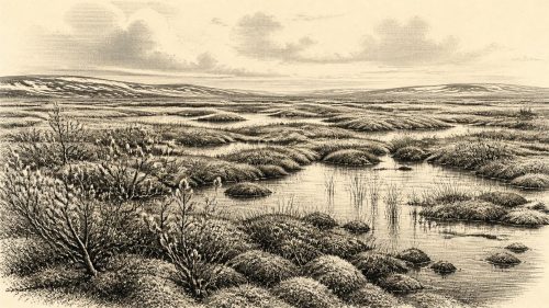
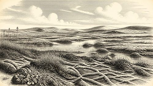
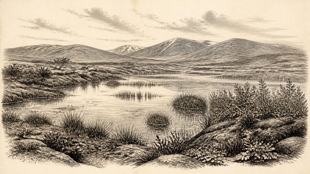
Derryvree’s fossils counter a familiar but unhelpful image of Ice Age Ireland as featureless white emptiness. The freshwater deposits contained pollen, plant macrofossils, mosses and insects. Their combined signal is of open, treeless tundra-like country under periglacial conditions: land shaped by repeated freezing and thawing, with short growing seasons and severe winters. Mosses and sedges grew around shallow water. A seed of bogbean (Menyanthes trifoliata) is especially telling, because it indicates freshwater or wet margins. Other recorded plants include cold-adapted or arctic-alpine elements such as dwarf willow, mountain-avens and alpine clubmoss.
This was not a modern Irish bog transposed unchanged into the past. “Muskeg”, an older term used in discussion of the deposit, conveys a saturated patchwork of mossy ground, pools, sedge margins and frost-disturbed surfaces. Water could be present in the growing season even where winters were hard and soils were frozen for long periods. Trees were absent locally or extremely scarce. A few grains of tree pollen cannot by themselves prove nearby woodland: pollen can travel, survive unevenly or be reworked. The stronger interpretation rests on the whole assemblage, which points to low vegetation and open ground rather than forest.
Such evidence is local, not a complete map of Ireland. Derryvree tells us what happened in and around one Fermanagh basin, not the exact weather in Cork, the extent of every ice margin or the shape of the coastline in 30,705 BCE. Nevertheless, its position between tills establishes an important regional fact: parts of what is now Ireland could support freshwater ecosystems during severe phases of the last glacial cycle. Later glacial erosion erased many comparable deposits, making this modest road-side exposure unusually valuable.
Mammoth Country, Carefully Defined
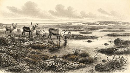
Cave finds in southern Ireland add animals to the picture. Castlepook Cave, also called Mammoth Cave or Doneraile Cave, in County Cork is the best-known Irish site for Middle Midlandian mammals. Its Pleistocene material includes woolly mammoth, reindeer, giant deer, brown bear, wolf, fox and Arctic fox, spotted hyaena, collared lemming and Norway lemming. Horse is known from Shandon Cave in County Waterford, associated there with mammoth and reindeer. Together, these finds show that Ireland was at times part of a broader north-west European cold-fauna zone far richer in large mammals than the island’s later fauna.
But the cave record demands caution. Many bones were recovered during nineteenth- and early twentieth-century excavations, before modern methods of recording layers and associations were routine. Cave sediments can be mixed by water, carnivores, collapse and later human disturbance. Radiocarbon dating undertaken by the Irish Quaternary Fauna Project confirmed that a wide range of mammals entered Ireland between at least about 45,000 and 20,000 radiocarbon years BP, but it also showed why individual bones must not be fused into a single imagined scene. The Castlepook animals did not necessarily occupy the cave, or even the surrounding countryside, together.
Accordingly, it cannot be said that a mammoth, a hyaena or a particular reindeer was alive in Ireland in 30,705 BCE. What can be said is narrower and more secure: the dated faunal evidence brackets a Middle Midlandian landscape in which grazing and browsing mammals, predators and small cold-adapted mammals could repeatedly reach parts of Ireland. Open vegetation, seasonal water and low snow-free forage would have mattered to them. Caves were not necessarily homes; they may have been carnivore dens, traps, places where bones washed in, or repositories of material moved over long periods.
People: Absence, Possibility and Proof
There is no securely dated Irish settlement, hearth, tool-kit, dwelling, burial or human skeleton from around 30,705 BCE. This absence matters. Upper Palaeolithic communities elsewhere in Europe made sophisticated stone and bone tools, hunted large mammals, used pigments and sometimes produced striking art. None of that can be transferred automatically to Ireland. Comparisons may indicate what people travelling through comparable northern environments were capable of, but they do not prove that such people were present on this island at this time.
Claims about very early human activity in Ireland must also be kept separate from evidence for permanent occupation. Some Irish cave bones have been examined for modifications that might have resulted from stone-tool butchery, while re-dating programmes continue to alter the chronology of old collections. A mark on an isolated bone, particularly one without a securely excavated context, cannot establish a camp, a population or a continuous occupation. The currently firmer archaeological evidence for human presence belongs much later, near the end of the Pleistocene, and substantial settlement evidence begins only in the early Holocene Mesolithic.
The geography offers reasons for restraint as well as possibilities. Lower global sea levels changed the extent of shelves and narrowed some sea crossings, but Ireland’s relationship to Britain and the European mainland depended on local sea level, ice margins and changing topography. Animal remains show that mammals arrived during favourable intervals; they do not specify a single route, season or moment. Humans, if any entered Ireland in this earlier period, may have done so only briefly. Their camps would have been light, their numbers small and their traces vulnerable to later ice, erosion and rising seas.
No Kingdoms, No Trade Network
Political affairs, diplomacy and organised warfare cannot be recovered for Ireland in this year because there is no evidence for states, chiefs, territorial institutions or even an identified human community. It would be equally unfounded to assign a language, ethnicity or belief system to hypothetical visitors. There are no Irish monuments, ornaments, burials, images or ritual deposits from this date from which to infer religion or cultural learning.
Nor is there evidence for an Irish economy in the later prehistoric sense. There was no agriculture, livestock keeping, metalworking, pottery production or documented exchange network. If humans made temporary use of Ireland during an ice-free interval, their subsistence would have depended on mobile hunting, scavenging, gathering and acute knowledge of seasonal terrain. That is an interpretation based on the ecology of comparable Upper Palaeolithic settings, not a direct observation from an Irish camp. The tangible economy visible in the evidence is ecological: wetland plants fixed seasonal growth; herbivores converted it into animal biomass; predators and scavengers moved through the same open country.
An Archive Rather Than an Anniversary
The most important development represented by 30,705 BCE is therefore environmental, not political. Ireland was part of an unstable glacial-world frontier. In Fermanagh, freshwater organisms and tundra vegetation had left an archive between episodes of ice. In southern limestone caves, bones preserve evidence of a cold-adapted mammalian world. Both records show that the island was environmentally varied during the later Pleistocene, while also exposing the limits of knowledge: deposits have wide date ranges, caves contain mixed accumulations, and much of the relevant landscape has been destroyed or submerged.
For this reason, the year should not be imagined as an Irish historical episode with a cast of people and a sequence of events. It is better understood as a point placed within a long, uncertain interval: one in which pools formed below cold skies near Maguiresbridge, mosses and sedges bordered shallow water, and Ireland intermittently sustained animals adapted to open northern country. The evidence is fragmentary, but it is real—and it is enough to replace blankness with a carefully bounded prehistoric landscape.
Source References
Hover over a number to see the source. Select it to open the source.

- [1] Early Midlandian–Middle Midlandian, Pleistocene, Northern Ireland
- [2] Palaeoecology
- [3] Figure 6.— The subdivision of the Quaternary Period in Ireland
- [4] The Irish Quaternary Fauna Project
- [5] Irish Pleistocene Biostratigraphy
- [6] Pleistocene Vertebrates in the British Isles
- [7] Pleistocene Rodents of the British Isles
- [8] Mammoth Cave
- [9] Castlepook Cave, Co. Cork, 2022
- [10] New Insights on the Fauna of Ireland’s Younger Dryas and Early Holocene from Alice & Gwendoline Cave
- [11] The Mesolithic in Ireland: When Was It?
- [12] Last Glacial Maximum Cirque Glaciation in Ireland and Implications for Reconstructions of the Irish Ice Sheet
- [13] Trimlines, Blockfields and the Vertical Extent of the Last Ice Sheet in Southern Ireland
- [14] The Deglaciation of the Western Sector of the Irish Ice Sheet from the Inner Continental Shelf to Its Terrestrial Margin
- [15] Maximum Extent and Dynamic Behaviour of the Last British–Irish Ice Sheet West of Ireland
- [16] The Timing and Magnitude of the British–Irish Ice Sheet Between Marine Isotope Stages 5d and 2
- [17] British–Irish Ice Sheet and Polar Front History of the Goban Spur, Offshore Southwest Ireland Over the Last 250,000 Years
- [18] Growth and Retreat of the Last British-Irish Ice Sheet, 31,000 to 15,000 Years Ago
- [19] A Revised Correlation of Quaternary Deposits in the British Isles
- [20] Quaternary Stratigraphy of Great Britain and Ireland – Selected References
- [21] The Geology of the Irish Sea: UK Offshore Regional Report
- [22] BSBI: Menyanthes trifoliata
- [23] BSBI: Salix herbacea
- [24] The Late Quaternary History of East-Central Ireland
Primary Sources
- Early Midlandian–Middle Midlandian, Pleistocene, Northern Ireland
- Palaeoecology
- Figure 6.— The subdivision of the Quaternary Period in Ireland
- The Irish Quaternary Fauna Project
- Irish Pleistocene Biostratigraphy
- Pleistocene Vertebrates in the British Isles
- Pleistocene Rodents of the British Isles
- Mammoth Cave
- Castlepook Cave, Co. Cork, 2022
- New Insights on the Fauna of Ireland’s Younger Dryas and Early Holocene from Alice & Gwendoline Cave
- The Mesolithic in Ireland: When Was It?
- Last Glacial Maximum Cirque Glaciation in Ireland and Implications for Reconstructions of the Irish Ice Sheet
- Trimlines, Blockfields and the Vertical Extent of the Last Ice Sheet in Southern Ireland
- The Deglaciation of the Western Sector of the Irish Ice Sheet from the Inner Continental Shelf to Its Terrestrial Margin
- Maximum Extent and Dynamic Behaviour of the Last British–Irish Ice Sheet West of Ireland
- The Timing and Magnitude of the British–Irish Ice Sheet Between Marine Isotope Stages 5d and 2
- British–Irish Ice Sheet and Polar Front History of the Goban Spur, Offshore Southwest Ireland Over the Last 250,000 Years
- Growth and Retreat of the Last British-Irish Ice Sheet, 31,000 to 15,000 Years Ago
- A Revised Correlation of Quaternary Deposits in the British Isles
- Quaternary Stratigraphy of Great Britain and Ireland – Selected References
- The Geology of the Irish Sea: UK Offshore Regional Report
- BSBI: Menyanthes trifoliata
- BSBI: Salix herbacea
- The Late Quaternary History of East-Central Ireland