Derryvree Evidence31519 BCE
At the notional date of 31,519 BCE, Ireland’s history can be reconstructed only through environmental ranges, not annual events. Freshwater sediments at Derryvree, County Fermanagh, dated roughly 36,900–31,700 calibrated BP, show that this locality was temporarily ice-free, supporting tundra vegetation, shallow water and severe periglacial conditions. Greenagho and Crag Cave confirm regional climatic variability before the Last Glacial Maximum. Cave remains indicate a diverse cold-adapted fauna, but dating and depositional uncertainties prevent a precise contemporary census. No secure evidence establishes human residence, society or activity. Surviving evidence records shifting ice, wetlands, plants and animals rather than political or cultural history.
Dateline
The label 31,519 BCE gives a useful point on a modern timeline, but it cannot identify a recoverable Irish ‘year’. Nobody on the island recorded years in this fashion, and neither archaeology nor palaeoenvironmental science can distinguish events within one twelve-month period more than 33,000 years ago. In conventional archaeological usage this notional date is about 33,470 years before AD 1950, within the Late Pleistocene and Marine Isotope Stage 3 (MIS 3), a climatically unstable part of the last Ice Age. The responsible history of this moment is therefore an account of broad conditions, expressed through dated ranges, not an invented annual episode.
A Date Within a Range
The most informative Irish evidence close to this horizon comes from Derryvree townland near Maguiresbridge, County Fermanagh. Roadworks in 1969 cut through a drumlin: a streamlined hill composed largely of sediment deposited by glacier ice. Between two distinct till layers lay freshwater silts and fine sands containing organic remains. Their sequence is clear. Ice deposited the lower till; a period without local overriding ice permitted a wetland or shallow-water deposit to form; a later ice advance sealed it beneath the upper till.
Organic material from the Derryvree deposit produced a conventional radiocarbon determination of 30,500 +1,170/−1,030 radiocarbon years BP, known as Birm-166. Published calibrations have placed it broadly at c. 36,900–31,700 calibrated years BP, approximately 34,950–29,750 BCE. The modern date 31,519 BCE falls inside that wide span, but it cannot be pinned to a particular layer, season, generation or human action. Calibration is indispensable because atmospheric radiocarbon levels changed over time; at this depth, it produces probability ranges rather than calendar-year certainty.
This limitation matters. Derryvree is exceptionally valuable, but it is one locality and one preserved interval, not a complete map of Ireland. Its evidence establishes that its part of north-central Ireland was ice-free when the freshwater sediments accumulated. It does not demonstrate that every Irish region was simultaneously open ground, nor that the same plants, animals or water conditions extended unchanged across the island.
Wet Ground in a Cold Land
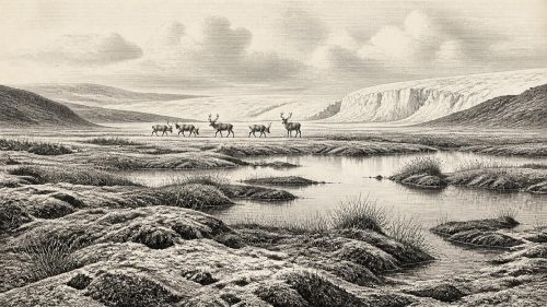
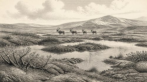
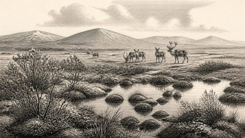
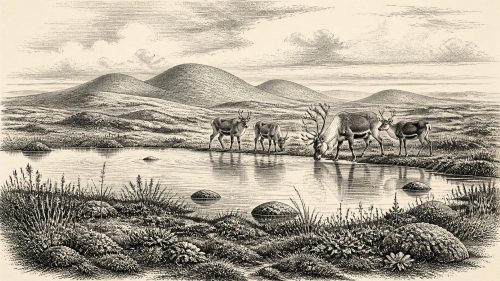
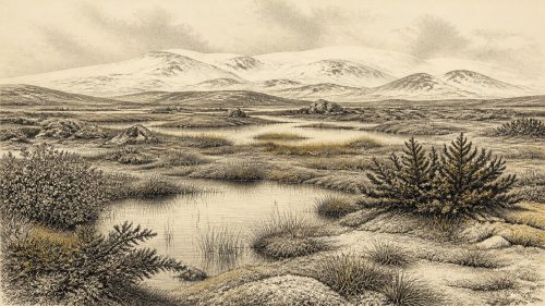
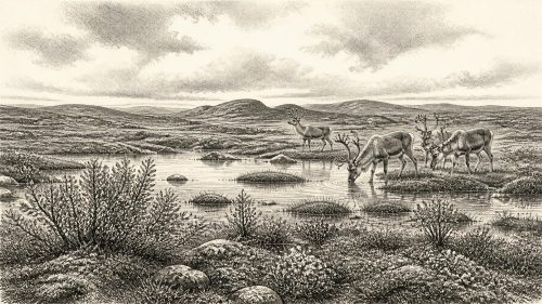
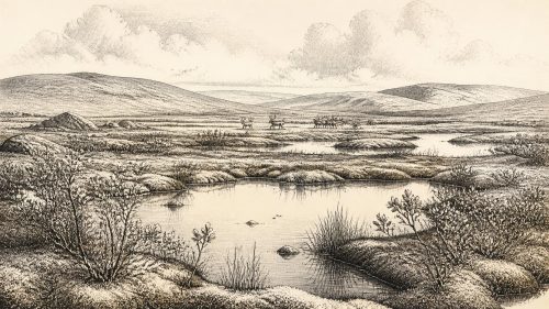
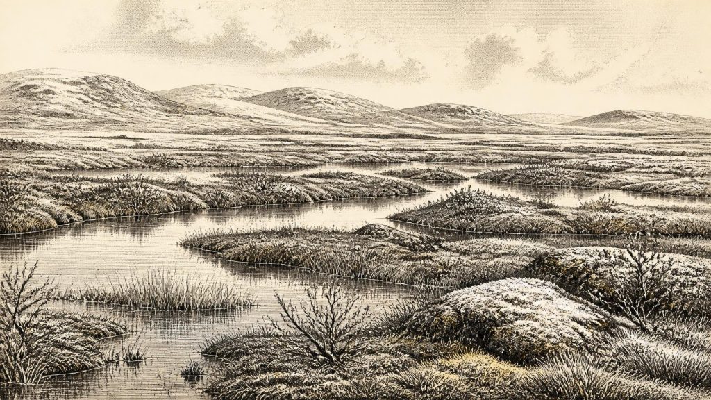
The Derryvree plants, pollen, mosses, insects and freshwater remains nevertheless permit a vivid but carefully bounded reconstruction. They indicate open tundra vegetation in a periglacial climate: a landscape shaped by repeated freezing and thawing, with little or no tree cover. Mosses, sedges and cold-adapted flowering plants grew around shallow water, saturated soils and peaty margins. Dwarf willow, mountain avens, bogbean and water-milfoil are among the kinds of plant remains associated with the deposit. Their combination is important. It describes neither a featureless ice desert nor the forested Ireland familiar from later prehistory, but a patchwork of wet hollows, pools, low vegetation and exposed mineral ground.
Such a setting would have altered dramatically through the year, though no seasonal diary survives. In summer, snowmelt and rainfall could feed pools and temporary channels; in winter, frozen ground constrained drainage and intensified wind exposure. The plants themselves show that enough liquid water and growing-season warmth existed locally to sustain a freshwater ecosystem. They do not show an agreeable climate by modern standards. ‘Full-glacial aspect’, the description applied to the Derryvree flora and fauna, signals severe cold and open habitats even during an interval when that district was not under ice.
Crag Cave in County Kerry supplies a separate, complementary clue. Its calcite deposits formed episodically during MIS 3. Because speleothem growth in this shallow cave required liquid water and was likely limited to periods when mean annual temperatures were above freezing, the record supports a picture of millennial-scale climatic fluctuation rather than a single, uniform Ice Age. It cannot tell us that a stalagmite grew in 31,519 BCE, but it reinforces the conclusion that Irish environmental conditions were variable and responsive to wider North Atlantic climate shifts.
Before the Great Expansion
The Irish landscape at this horizon lay before the fullest expansion of the last British–Irish Ice Sheet. Later, during the Last Glacial Maximum, ice extended over much of Ireland and onto the surrounding continental shelf. Modern reconstructions place the large-scale growth and retreat of that ice sheet within roughly 31,000–15,000 years ago, with its maximum configuration varying by sector and reached substantially later than the Derryvree freshwater interval. The later ice was powerful enough to erode, bury and rearrange older landscapes, explaining why survivals from this age are so sparse.
Greenagho, also in County Fermanagh, provides an important check on the regional picture. Organic material from a lake deposit beneath till there has been reported at c. 37,200–35,700 calibrated years BP. Together with Derryvree, it indicates ice-free conditions in parts of north-central Ireland before the main build-up of the last Irish Ice Sheet. The evidence is strongest for local sequences, however. It is safer to speak of shifting limits of ice, water and open terrain than to imagine one fixed national coastline or an island uniformly available to animals and people.
Global sea level was lower than today because immense volumes of water were locked in continental ice sheets. Yet lower sea level alone does not prove a simple, permanent land bridge from Ireland to Britain or continental Europe. Glacial margins, changing sea basins, local uplift and subsidence, and the exact geography of exposed shelves all complicate the question. Animal remains establish that species reached Ireland during parts of the Pleistocene; they do not by themselves reveal the route, timing or ease of every crossing.
The Animals Behind the Bones
Caves in southern Ireland preserve the principal evidence for Late Pleistocene large mammals. Castlepook Cave, near Doneraile in County Cork, has yielded remains attributed to reindeer, woolly mammoth, giant deer, brown bear, wolf, Arctic fox, hare, lemmings and spotted hyaena. This is a powerful indication that Ireland, in parts of the broader pre-maximum glacial period, could sustain a cold-adapted fauna unlike that of the modern island. Reindeer and grazing mammals would have benefited from open vegetation; carnivores and scavengers occupied the same ecological world, but their presence must not be converted into a scene of constant pursuit or violence.
There are major cautions. Much of the Castlepook material was recovered in early excavations, before present-day standards of recording, and cave deposits are often disturbed by water, animals and later digging. Dates obtained from old bone samples may require reassessment: recent work has shown that some earlier Irish faunal determinations were unreliable when tested with improved pretreatment and dating methods. The cave assemblage therefore supports the existence of an Ice Age fauna over broad intervals, not a precise census for 31,519 BCE. Taphonomy—the study of how remains accumulated and changed after death—is central to this restraint.
What can responsibly be inferred is a food web rather than a settled human economy. Plant-eaters converted the sparse productivity of tundra and wetland edges into meat, hides, antler, bone and dung; predators and scavengers fed on them; small mammals and birds occupied the lower tiers. Whether mammoths or hyaenas were present in the exact year under discussion cannot be established. Nor can one project the well-known animal assemblage of a Cork cave directly onto Fermanagh’s Derryvree wetland. The sites illuminate a changing island-wide ecological zone only in combination, and always at broad chronological resolution.
The Human Question
No house, hearth, stone-tool assemblage, grave, artwork, monument or securely stratified camp can be assigned to Ireland in 31,519 BCE. Accordingly, there is no evidence for a resident population, named group, language, kinship system, leadership, diplomacy, organised warfare, formal religion, farming or trade at this date. The lack is not merely a gap in written records: it is a gap in the archaeological record itself.
A reindeer bone from Castlepook has been interpreted as bearing a possible butchery mark made with a stone tool, and it has prompted renewed searches for Palaeolithic archaeology in Ireland. That possibility deserves serious investigation, but it does not license a narrative of an Irish hunting community in this year. A mark on an old bone may indicate brief human handling of one carcass; it cannot demonstrate permanent settlement, population size, seasonal rounds or cultural continuity. The clearest published evidence for human presence in Ireland remains far later, during the terminal Pleistocene, at Alice and Gwendoline Cave in County Clare.
History Without Polities
For later periods, an annual Irish history can follow rulers, assemblies, wars, monasteries, harvests and voyages. None of those categories has evidence here. The most meaningful ‘affairs’ of this time were environmental: advances and retreats of ice; the persistence of freshwater; the availability of plant growth; and the movement, survival or local disappearance of animals. These conditions formed the long prehistory of every later society on the island, but they were not political events.
Culture and learning are similarly beyond recovery at Derryvree. The sediment has preserved ecological information rather than human speech, belief or craft. Its lesson is methodological as well as historical: Irish deep prehistory is reconstructed from pollen grains, seeds, insect fragments, cave bones, mineral deposits and the order of layers. The absence of conventional historical actors is not emptiness. It is evidence of a landscape whose surviving archive is environmental, and whose human story, if there was one, remains unproven.
Source References
Hover over a number to see the source. Select it to open the source.

- [1] A Middle Midlandian Freshwater Series at Derryvree, Maguiresbridge, County Fermanagh, Northern Ireland
- [2] Trimlines, Blockfields and the Vertical Extent of the Last Ice Sheet in Southern Ireland
- [3] Early Midlandian–Middle Midlandian, Pleistocene, Northern Ireland
- [4] Exploring Controls of the Early and Stepped Deglaciation on the Western Margin of the British-Irish Ice Sheet
- [5] Growth and Retreat of the Last British–Irish Ice Sheet, 31,000 to 15,000 Years Ago: the BRITICE-CHRONO Reconstruction
- [6] Growth and Retreat of the Last British–Irish Ice Sheet, 31,000 to 15,000 Years Ago: the BRITICE-CHRONO Reconstruction
- [7] Episodic Speleothem Deposition Tracks the Terrestrial Impact of Millennial-Scale Last Glacial Climate Variability in SW Ireland
- [8] The IntCal20 Northern Hemisphere Radiocarbon Age Calibration Curve (0–55 cal kBP)
- [9] The IntCal20 Approach to Radiocarbon Calibration Curve Construction: A New Methodology Using Bayesian Splines and Errors-in-Variables
- [10] Figure 6.— The Subdivision of the Quaternary Period in Ireland
- [11] References and Recommended Reading
- [12] The Irish Quaternary Fauna Project
- [13] Occurrence of Mammalia Relicts at Site Castlepook Cave
- [14] Mammoth Cave, County Cork
- [15] Archaeology Research Excavation Grant 2022
- [16] Heritage Artefacts of County Cork
- [17] The Mesolithic in Ireland: When Was It?
- [18] New Insights on the Fauna of Ireland’s Younger Dryas and Early Holocene from Alice & Gwendoline Cave
- [19] A North-Western Habitat: the Paleoethology and Colonisation of a European Peninsula
- [20] The Late Quaternary History of East-Central Ireland
- [21] Salix herbacea
- [22] Myriophyllum alterniflorum
Primary Sources
- A Middle Midlandian Freshwater Series at Derryvree, Maguiresbridge, County Fermanagh, Northern Ireland
- Trimlines, Blockfields and the Vertical Extent of the Last Ice Sheet in Southern Ireland
- Early Midlandian–Middle Midlandian, Pleistocene, Northern Ireland
- Exploring Controls of the Early and Stepped Deglaciation on the Western Margin of the British-Irish Ice Sheet
- Growth and Retreat of the Last British–Irish Ice Sheet, 31,000 to 15,000 Years Ago: the BRITICE-CHRONO Reconstruction
- Growth and Retreat of the Last British–Irish Ice Sheet, 31,000 to 15,000 Years Ago: the BRITICE-CHRONO Reconstruction
- Episodic Speleothem Deposition Tracks the Terrestrial Impact of Millennial-Scale Last Glacial Climate Variability in SW Ireland
- The IntCal20 Northern Hemisphere Radiocarbon Age Calibration Curve (0–55 cal kBP)
- The IntCal20 Approach to Radiocarbon Calibration Curve Construction: A New Methodology Using Bayesian Splines and Errors-in-Variables
- Figure 6.— The Subdivision of the Quaternary Period in Ireland
- References and Recommended Reading
- The Irish Quaternary Fauna Project
- Occurrence of Mammalia Relicts at Site Castlepook Cave
- Mammoth Cave, County Cork
- Archaeology Research Excavation Grant 2022
- Heritage Artefacts of County Cork
- The Mesolithic in Ireland: When Was It?
- New Insights on the Fauna of Ireland’s Younger Dryas and Early Holocene from Alice & Gwendoline Cave
- A North-Western Habitat: the Paleoethology and Colonisation of a European Peninsula
- The Late Quaternary History of East-Central Ireland
- Salix herbacea
- Myriophyllum alterniflorum