Fermanagh’s Sub-Till Herbarium31371 BCE
31,371 BCE denotes a broad, uncertain Late Pleistocene horizon in Marine Isotope Stage 3, not a recoverable Irish year. Derryvree, County Fermanagh, preserves freshwater organic sediments between glacial tills, documenting treeless tundra, wetlands, cold-adapted plants and insects during an ice-free interval. Castlepook Cave, County Cork, contains MIS 3 fauna including mammoth, reindeer, giant deer, predators and small Arctic mammals, demonstrating links with wider European ecosystems. A possibly cut-marked reindeer bone may indicate human handling, but cannot prove settlement or population. Advancing ice later reshaped and destroyed evidence. The surviving records reveal environmental change, animal movement and only tentative human presence.
Dateline
31,371 BCE is a modern chronological label, not a year that can be recovered from Ireland’s prehistoric record. Nobody on the island kept a calendar, named a ruler or recorded an event at this point in the Late Pleistocene. Nor can archaeology distinguish one winter or one summer nearly 33,000 years ago. The date corresponds roughly to 33.3 thousand calendar years before AD 1950, within Marine Isotope Stage 3 (MIS 3), a climatically unstable part of the last Ice Age. The responsible subject is therefore a broad environmental and archaeological horizon, not an annual chronicle.
The evidence closest to this notional year is fragmentary but exceptional. It comes principally from a buried freshwater deposit at Derryvree near Maguiresbridge, County Fermanagh, and from cave-fauna assemblages in southern Ireland, especially Castlepook Cave near Doneraile, County Cork. Together they show that parts of Ireland supported cold-climate habitats and large mammals during intervals before the Last Glacial Maximum. They do not establish a settled population, a polity, a religion, a trading system or a specific human community in Ireland in 31,371 BCE.
A Date Within a Deep Range
At this distance in time, even scientific dates require careful handling. Radiocarbon laboratories conventionally count backwards from AD 1950, and a radiocarbon age is not automatically a calendar age: the amount of carbon-14 in the atmosphere has changed through time. Modern calibration curves allow researchers to relate radiocarbon measurements to calendar ranges, but uncertainty grows markedly in this period. The result is a probability range, sometimes a broad or uneven one, rather than an exact historical date.
Derryvree’s key organic horizon produced the determination Birm-166, conventionally reported as 30,500 radiocarbon years BP, with an uncertainty of +1,170 and −1,030 years. Later discussion places the calibrated result broadly at about 36.9–31.7 thousand calendar years BP. This long span encompasses several millennia; it cannot certify conditions on 31,371 BCE itself. It does, however, make Derryvree one of the best Irish windows onto the cold, changing world around this chronological horizon.
The large-scale glacial context is equally important. Ireland was approaching the growth of the last British–Irish Ice Sheet, but its advance was neither simple nor simultaneous in every region. Reconstructions indicate major ice expansion after about 31,000 years ago, with maximum coverage around 27,000–23,000 calibrated years BP. At the maximum, ice covered Ireland and much of its continental shelf, though the timing, thickness and movement of ice varied from place to place. Around the date considered here, some areas were already influenced by growing ice, while other landscapes could remain exposed long enough for pools, sediments, plants and animals to leave a record.
The Derryvree Freshwater World
Road works in 1969 cut through a drumlin at Derryvree, exposing a striking sequence. Below and above lay tills: unsorted deposits left by glacier ice. Between them were fine sands, silts and organic-rich freshwater sediments. The sequence is decisive evidence for change. An earlier glacier had crossed the district; then a period without overriding ice permitted a wetland or shallow-water environment to develop; a subsequent advance buried the deposit beneath fresh glacial debris.
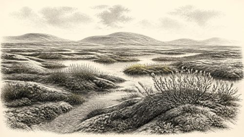
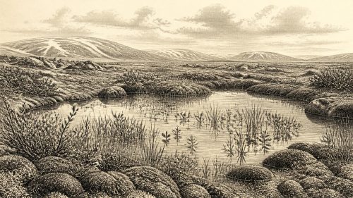
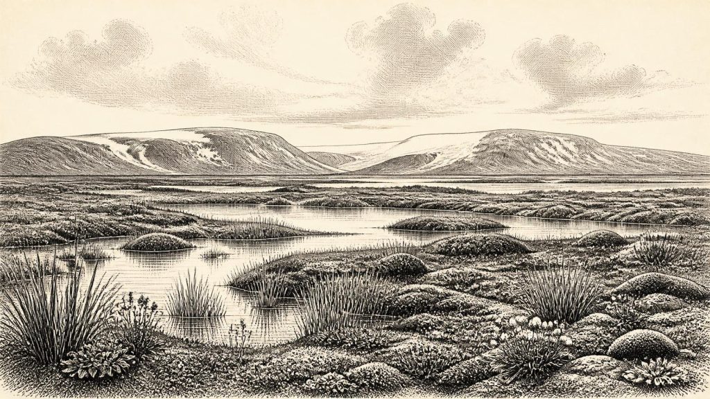
The fossil assemblage offers a much more vivid picture than the bare phrase “inter-till deposit” suggests. Pollen, plant macrofossils, mosses and insects indicate open tundra vegetation and a periglacial climate. The plant record includes sedges, aquatic species such as bogbean, and cold-adapted herbs including mountain avens and alpine clubmoss. Their presence does not mean that every part of Fermanagh resembled a single modern Arctic landscape. Rather, the assemblage points to sparse, treeless vegetation across exposed ground, with wetter hollows holding plant-rich pools and mossy margins.
Insects strengthen that interpretation. They suggest a muskeg-like wetland: saturated ground, shallow standing water and abundant decaying vegetation amid a severe climate. Such a setting could be locally productive during the brief growing season even as winters were formidable. Derryvree is therefore evidence against an image of all Ireland as a uniform, lifeless ice sheet at every moment of the Ice Age. It is not evidence for a mild refuge. This was a cold, windswept country in which land, water and ice were repeatedly reorganised.
Cork’s Mammal Country
Far to the south, Castlepook Cave preserves a different kind of archive. Antiquarian excavations there produced a very large collection of animal remains, much of it now associated with the National Museum of Ireland. Reassessment and improved radiocarbon pretreatment have shown why these old collections still matter: some earlier dates were too young, and renewed work has placed elements of the fauna firmly within MIS 3.
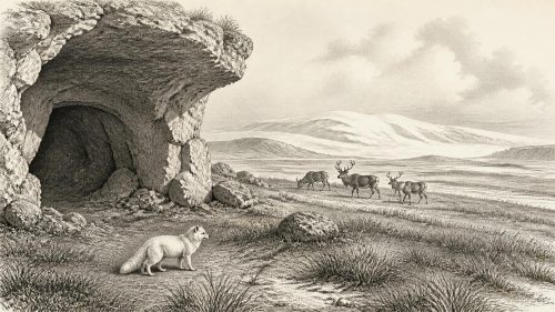
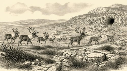
The assemblage includes woolly mammoth, reindeer, giant deer, brown bear, wolf, Arctic fox, mountain hare, lemmings and spotted hyaena. These names should not be turned into a single, perfectly synchronous scene. Caves accumulate material over long periods, and bones may arrive through carnivore activity, natural deaths, water movement and excavation disturbance. Nevertheless, the combined record securely establishes that Ireland was connected to wider north-west European ecological networks during portions of the Late Pleistocene. Mammals had reached, and in some cases lived in, landscapes that later glaciation would transform.
Spotted hyaena is especially revealing. Castlepook is Ireland’s principal record for the species, and hyaenas can carry, chew and redistribute bones. Their presence cautions against treating every cave bone as the residue of a human meal. It also indicates a food web more varied than the simple phrase “mammoth steppe” conveys: predators, scavengers, herbivores and small cold-adapted mammals used different places and seasons. The absence or rarity of other animals in the Irish record may reflect ecological barriers, small populations and uneven survival of deposits as much as it reflects absolute absence.
People: A Possibility, Not a Population
The question of human presence is necessarily the most closely qualified part of this story. A reindeer femur from Castlepook has a deep linear mark interpreted by its researchers as a stone-tool cut made during carcass processing. Public heritage material has associated the bone with about 31,000 BCE. If that interpretation and association withstand continued scrutiny, it would show that one or more Upper Palaeolithic people handled a reindeer in Ireland during this broad period, many millennia before the previously accepted late-glacial evidence for human activity.
But a marked bone is not a settlement. No securely dated hearth, dwelling, stone-tool assemblage, workshop, burial, ornament, human bone or rock art is presently known from Ireland at this horizon. The cave’s old excavations and complicated depositional history make contextual certainty difficult. Nor does a single possible butchery mark tell us whether people camped nearby, made a short visit, scavenged a carcass or crossed the sea repeatedly. It cannot reveal language, kinship, identity or numbers. The most defensible wording is that Castlepook preserves possible evidence of human activity, not proof of an established Irish population.
Elsewhere in north-west Europe, Upper Palaeolithic hunter-gatherers possessed sophisticated stone-working knowledge and close practical understanding of seasonal animals. That wider context helps explain what processing a reindeer could involve: meat, fat, marrow, hide, sinew, antler and bone were valuable materials. Yet it remains an interpretation drawn from comparable societies, not a direct description of daily life in Ireland. It would be wrong to project continental camps, artistic traditions or social structures onto a place where their physical traces have not been found.
No Politics, No Diplomacy, No Recoverable Religion
There are no political affairs to narrate for Ireland in 31,371 BCE. States, kingdoms, territories, chiefs and diplomacy require evidence of organised human groups and their relationships; none survives for this time. Even if the Castlepook mark records a human visit, it cannot support claims about authority or conflict. Predation and scavenging among animals were part of the landscape, but they are not human warfare.
The same restraint applies to religion, culture and learning. Upper Palaeolithic people elsewhere made images, ornaments and objects that could carry social or ritual meaning, but no equivalent securely dated material is known from Ireland at this date. There is no basis for identifying an Irish sanctuary, burial custom, mythology or artistic school. The knowledge demonstrably present in the record is ecological and geological: the adaptive capacities of plants and animals, and the environmental information preserved unintentionally in mud, bone, pollen and ice-borne sediment.
Movement Through a Changing Region
Economy and trade likewise cannot be reconstructed in the usual historical sense. There is no evidence for exchange networks, imported goods or sustained production in Ireland. What can be said is that animal movement linked Ireland to the wider region. During low sea levels, the outlines of coasts and shelves differed greatly from those of today, while ice, waterways and marine channels changed access from one phase to another. The exact routes available around 33,000 years ago remain uncertain and should not be simplified into a guaranteed land bridge.
For animals, movement required suitable habitat rather than political frontiers. For any people who may have reached the island, crossing water or moving through unstable ice-marginal terrain would have been a serious practical undertaking. The record neither proves nor rules out short-lived incursions. It does show why such activity is difficult to detect: later ice expansion eroded landscapes, reworked sediments and removed many of the open-air surfaces where camps might once have stood.
Thus the deepest significance of 31,371 BCE is environmental, not eventful in the conventional historical sense. Ireland was a variable Ice Age landscape: cold open ground in Fermanagh, freshwater pools and wet mosslands between glacial episodes, and southern habitats capable of supporting a remarkable mammal fauna. The Derryvree sediments and Castlepook bones are not a complete story. They are rare survivors from a period whose landscapes were repeatedly covered, cut into and remade by ice. Their lesson is both compelling and cautious: long before written Ireland, the island had an ecological history of movement, survival and abrupt climatic change, while its earliest possible human history remains an important question rather than a settled fact.
Primary Sources
- A Middle Midlandian Freshwater Series at Derryvree, Maguiresbridge, County Fermanagh, Northern Ireland
- Palaeoecology
- A Reconsideration of the Radiocarbon Dating of the Marine Isotope Stage 3 Fauna from Southern Ireland
- RADIOCARBON, Vol. 16, No. 1, 1974, pp. 6–9
- Pleistocene Vertebrates in the British Isles
- The Irish Quaternary Fauna Project
- Archaeological Heritage of County Cork
- Heritage Artefacts of County Cork
- Archaeology Research Excavation Grant 2022: Final Report
- First Evidence of a Late Upper Palaeolithic Human Presence in Ireland
- New Insights on the Fauna of Ireland's Younger Dryas and Early Holocene from Alice & Gwendoline Cave
- Growth and Retreat of the Last British–Irish Ice Sheet, 31,000 to 15,000 Years Ago: the BRITICE-CHRONO Reconstruction
- Growth and Retreat of the Last British–Irish Ice Sheet, 31,000 to 15,000 Years Ago: the BRITICE-CHRONO Reconstruction
- The Timing and Magnitude of the British–Irish Ice Sheet Between Marine Isotope Stages 5d and 2
- The Last Irish Ice Sheet: Extent and Chronology
- Dimensions and Chronology of the Last Ice Sheet in Western Ireland
- Radiocarbon Constraints on the Age of the Maximum Advance of the British-Irish Ice Sheet in the Celtic Sea
- Maximum Extent and Dynamic Behaviour of the Last British–Irish Ice Sheet West of Ireland
- Early Deglaciation of the British-Irish Ice Sheet on the Atlantic Shelf Northwest of Ireland Driven by Glacioisostatic Depression and High Relative Sea Level
- Ireland: Submerged Prehistoric Sites and Landscapes
- The Problem of a Late Quaternary Landbridge Between Britain and Ireland
- The IntCal20 Northern Hemisphere Radiocarbon Age Calibration Curve (0–55 cal kBP)
- IntCal Publications
- BSBI: Menyanthes trifoliata
- BSBI: Dryas octopetala