Ireland’s MIS Three Tundra30986 BCE
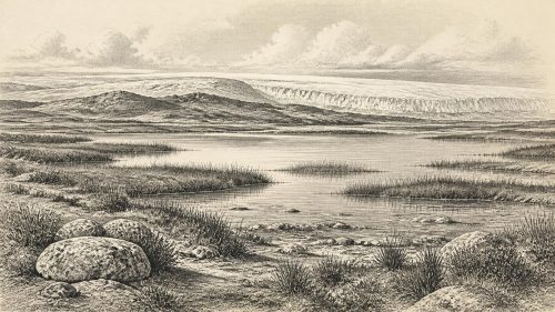
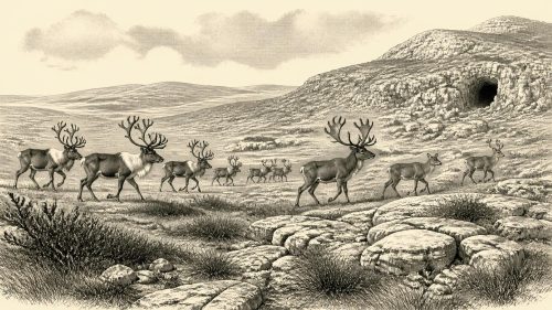
About 30,986 BCE, Ireland lay in the later, climatically unstable Marine Isotope Stage 3, before maximum glaciation. Derryvree, County Fermanagh, preserves organic sediments between tills, calibrated broadly to encompass this date, indicating treeless tundra-like wetlands with grasses, sedges, herbs, juniper, mosses and freshwater pools. Castlepook Cave, County Cork, records a diverse cold-climate fauna, including reindeer, mammoth, hyaena, bear, fox, hare and wolf, though its bones accumulated over time. A possibly butchered reindeer bone suggests unconfirmed early human activity, not settlement. Advancing ice later reshaped Ireland, destroying or concealing evidence. The period is therefore understood through fragmentary environmental and faunal records.
Dateline
“30,986 BCE” is a modern, retrospective label, not a date that anyone living in Ice Age Ireland could have recognised. At this depth of time, modern calendar-year precision is unavailable. The label corresponds broadly to about 32,935 calendar years before present, where “present” conventionally means 1950. The responsible way to approach it is through radiocarbon ranges, calibrated calendar ranges and geological sequences. The strongest Irish evidence places this notional year within the later part of Marine Isotope Stage 3, a cold and highly variable interval before the Last Glacial Maximum. It does not permit a diary-like account of one year, a named community or a political event.
A Date Within a Broad Window
The closest securely relevant environmental sequence is at Derryvree near Maguiresbridge, County Fermanagh. There, roadworks exposed organic silts and fine sands trapped between two layers of glacial till in a drumlin. The order of deposits is crucial. Ice had laid down the lower till; open water, plants and sediment later accumulated without local glacier cover; then a further ice advance sealed the freshwater deposits beneath the upper till. Organic material from this interval produced a conventional radiocarbon determination of 30,500 radiocarbon years before present, with a substantial uncertainty. Calibration gives a broad range of roughly 36,900–31,700 calendar years before present, or approximately 34,950–29,750 BCE.
Thus 30,986 BCE falls within the broad calibrated span associated with the Derryvree deposits, though not at a point that can be isolated within them. The date is best understood as an informed environmental horizon rather than an anniversary. Radiocarbon years are not identical to calendar years because atmospheric carbon-14 levels have varied; calibration is especially important, and uncertainty necessarily widens, so far back in time. Nor can one Fermanagh exposure be treated as a weather station for every valley, coast and upland across the island.
The Derryvree Landscape
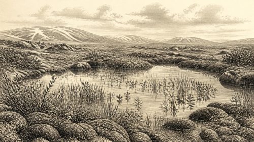
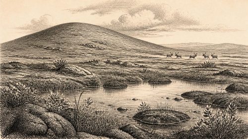
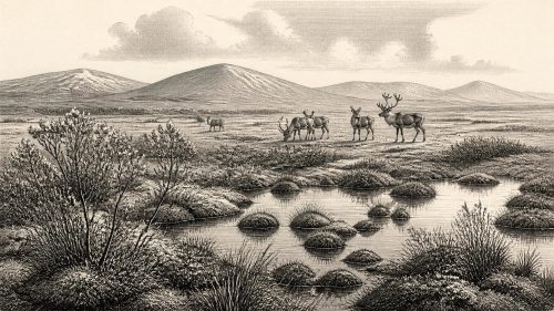
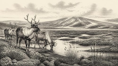
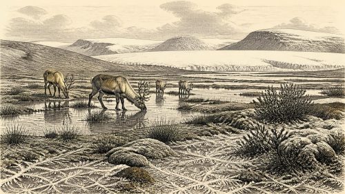
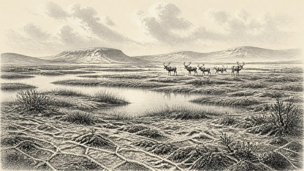
Derryvree offers an unusually intimate glimpse of Irish conditions before the later ice sheet remade much of the landscape. Fossil pollen, plant remains, mosses and insects indicate open, treeless ground rather than woodland. Grasses, sedges, herbs, juniper and cold-adapted wetland plants occurred around shallow freshwater pools and saturated ground. Researchers have described the setting as tundra or muskeg: a waterlogged mosaic of sedge-rich vegetation, mossy surfaces, plant litter and patches of open water, shaped by severe cold and periglacial processes.
This was not a featureless white desert. During the short growing season, low vegetation could flourish in sheltered, wet places, while winter frost, snow cover, frozen ground and strong seasonality imposed severe limits. The evidence supports a cold, open landscape with freshwater habitats; it does not establish exact temperatures, annual snowfall or a uniform island-wide biome. The term “tundra” is a useful ecological shorthand, but the ancient environment was a changing local mosaic rather than a modern Arctic landscape transplanted wholesale to Ireland.
At this time the last British–Irish Ice Sheet was building towards a much larger expansion, but it had not yet erased every ice-free refuge or wetland record. Derryvree and other pre-maximum deposits demonstrate that parts of north-central Ireland were free of local ice during portions of the preceding interval. Greenagho, also in Fermanagh, preserves another organic deposit beneath till. Together such sites show alternating conditions of ice occupation and ice-free sediment accumulation. They do not prove that the whole of Ireland was simultaneously clear of ice, nor that all regions experienced precisely the same sequence.
Caves, Carrion and Large Mammals
In north County Cork, Castlepook Cave near Doneraile provides the principal Irish animal archive relevant to this deep period. Its old collections contain remains attributed to reindeer, woolly mammoth, spotted hyaena, brown bear, Arctic fox, hare, wolf and small cold-country mammals. Such animals evoke an open, productive but demanding landscape in which grazing herds, predators and scavengers could move through the wider region. Reindeer are especially consistent with sparse, open vegetation; mammoth and hyaena reveal that Ireland’s Ice Age fauna was once much richer than its later historical fauna.
Yet cave bones are not a straightforward census of an outdoor community. Castlepook was used and altered by carnivores, water movement and later human excavation. Carnivores could have dragged carcass parts into galleries; bones may have accumulated across many generations; and early twentieth-century collecting did not preserve the fine stratigraphic detail expected in modern excavation. The cave therefore demonstrates the presence of animals in the wider region over extended periods, not a single simultaneous herd gathered at one spot in 30,986 BCE.
Dating adds another necessary caution. Early radiocarbon determinations from Castlepook helped associate mammoth and hyaena with the cold phase represented by Derryvree, but later scholarship has reassessed the reliability and limits of some old bone dates. The broad conclusion remains robust: a distinctive pre-Last Glacial Maximum fauna occupied southern Ireland during Marine Isotope Stage 3. The precise ages, overlap and duration of individual species are less secure than popular summaries sometimes imply. Evidence must be allowed to be uneven without turning uncertainty into a more dramatic story.
The Human Question
The most consequential possibility is a reindeer femur from Castlepook reported to bear a deep incision interpreted as a stone-tool butchery mark. Its public presentation has linked it to approximately 31,000 BCE and suggested that people may have handled a reindeer in Ireland far earlier than the formerly accepted Late Upper Palaeolithic evidence. If that interpretation is sustained, it would indicate only a small episode of carcass processing: perhaps hunters, perhaps people exploiting an animal already dead, and perhaps activity undertaken away from the cave before part of the carcass reached it.
It would not demonstrate a settled population, a village, a seasonal camp, a named culture or continuous occupation. No securely associated stone-tool assemblage, hearth, dwelling floor, burial or art of this age has yet been recovered in Ireland. The National Museum of Ireland’s cautious framing of the Palaeolithic record remains important: unequivocal evidence for sustained human presence is extraordinarily scarce. The better-established butchered brown-bear bone from Alice and Gwendoline Cave, County Clare, is far later, dating to about 12,800–12,600 calibrated years before present.
For 30,986 BCE, therefore, human presence is a research question rather than a settled chapter of national history. Continental north-west Europe and parts of Britain were inhabited by Upper Palaeolithic hunter-gatherers during Marine Isotope Stage 3. That wider context makes short visits or movement into Ireland conceivable, but possibility is not proof. Lower sea levels changed coastlines and exposed land now underwater, while ice, sea, rivers and local topography created shifting barriers. A lowered sea alone does not demonstrate an easy land bridge, much less a documented route into Ireland.
Society Without a Settlement Record
Because the material record contains no known settlement of this age, political affairs, diplomacy and organised conflict cannot responsibly be reconstructed. There are no Irish chiefs, territories, alliances, weapons caches or fortifications to describe. Nor is there evidence for farming, animal husbandry, trade networks, pottery, metalworking or long-distance exchange. Even if people did visit the island, the most restrained interpretation is of small, mobile foraging parties whose material traces have either not survived, lie beneath later deposits or remain undiscovered.
The same restraint applies to religion, culture and learning. Human communities elsewhere in Upper Palaeolithic Europe made tools, ornaments, images and musical objects, but none can be assigned to Ireland at this date. It would be misleading to project continental cave art, ritual or social arrangements across the Irish Sea merely because they were broadly contemporary. Ireland’s record instead preserves environmental knowledge: pollen grains, seeds, insect fragments, cave bones, sediment layers and the glacial deposits that enclosed them.
Everyday life can be described more confidently for the animals than for people. Reindeer and other herbivores would have followed forage across open ground; carnivores and scavengers exploited them; pools and wet mosslands supported specialised plants and insects. The economy visible here is ecological, not human: seasonal primary production, grazing, predation, scavenging and decomposition. In a cold, unstable climate, access to sheltered ground, unfrozen water and patches of edible vegetation would have mattered as much as any broad regional pattern.
Approaching the Ice Maximum
The long-term direction was towards greater glaciation. Within several millennia, the Last Glacial Maximum brought the Irish Ice Sheet to far greater extent, burying and reshaping large areas and helping to remove or conceal earlier evidence. Drumlins, tills and glacially scoured rock are the surviving consequences, but they also explain the archival gaps. The prehistoric Ireland of 30,986 BCE is therefore known chiefly through rare deposits that escaped complete destruction and through cave collections assembled before modern archaeological methods.
This makes the period important precisely because it resists easy narrative. Around this notional year, Ireland was neither the familiar green island of later farming communities nor simply an empty white ice field. The best evidence points to cold, open and locally wet terrain, with freshwater pools in Fermanagh and a striking large-mammal fauna in Cork. Whether humans briefly entered that world remains a significant but unresolved question. The honest history of 30,986 BCE is one of tundra, animals, advancing ice and carefully bounded inference.
Primary Sources
- A Middle Midlandian Freshwater Series at Derryvree, Maguiresbridge, County Fermanagh, Northern Ireland
- Irish Pleistocene Biostratigraphy
- The Irish Quaternary Fauna Project
- A Reconsideration of the Radiocarbon Dating of the Marine Isotope Stage 3 Fauna From Southern Ireland
- The Subdivision of the Quaternary Period in Ireland
- Quaternary Site Descriptions
- Trimlines, Blockfields and the Vertical Extent of the Last Ice Sheet in Southern Ireland
- Late Pleistocene Chronostratigraphy and Ice Sheet Limits, Southern Ireland
- New Data for the Last Glacial Maximum in Great Britain and Ireland
- Growth and Retreat of the Last British–Irish Ice Sheet, 31,000 to 15,000 Years Ago: the BRITICE-CHRONO Reconstruction
- The IntCal20 Northern Hemisphere Radiocarbon Age Calibration Curve (0–55 cal kBP)
- IntCal Publications
- The Problem of a Late Quaternary Landbridge Between Britain and Ireland
- The Island of Ireland: Drowning the Myth of an Irish Land-Bridge?
- Deglaciation, Earth Crustal Behaviour and Sea-Level Changes in the Determination of Insularity: A Perspective From Ireland
- Prehistoric Details
- First Evidence of a Late Upper Palaeolithic Human Presence in Ireland
- Revisiting Alice and Gwendoline Cave, Co. Clare: New Light on the 1902 Excavations
- New Insights on the Fauna of Ireland’s Younger Dryas and Early Holocene From Alice & Gwendoline Cave
- Heritage Artefacts of County Cork
- On the Cave of Castlepook, Near Doneraile, Co. Cork
- Trimlines, Blockfields and the Vertical Extent of the Last Ice Sheet in Southern Ireland