Glacial Burial30590 BCE
At 30,590 BCE, Ireland has no recoverable annual history, but Derryvree’s inter-till freshwater deposits provide environmental evidence for a broad Late Pleistocene interval. Radiocarbon dating, though imprecise, places the sediments within the period indicated by the modern label. Mosses, sedges, bogbean, dwarf willow and insects indicate cold, open, waterlogged tundra-like conditions. Cave remains from Cork show that mammoth, reindeer, giant deer and predators reached Ireland during overlapping phases, without proving coexistence. Possible human traces remain unconfirmed, and no settlements or societies can be reconstructed. Subsequent ice-sheet growth buried and eroded landscapes, making Derryvree a rare record of unstable glacial ecology.
Dateline
“30,590 BCE” is a useful modern label, but it cannot denote a recoverable Irish year in the ordinary historical sense. No calendar, written record, named community or securely dated event survives from Ireland at this depth of time. The label falls roughly 32,540 years before present, where “present” is conventionally AD 1950, within the Late Pleistocene and Marine Isotope Stage 3. Radiocarbon dates from this era carry substantial uncertainty and must be calibrated; they illuminate intervals lasting centuries or millennia, not a particular twelve-month span.
The closest and most informative Irish evidence is the buried freshwater sequence at Derryvree, near Maguiresbridge in County Fermanagh. It does not provide an annal for 30,590 BCE, but its calibrated range encompasses the broad period represented by that modern date. Together with animal remains from caves in southern Ireland and evidence for changing ice cover, it allows a careful reconstruction of an exposed, cold and environmentally unstable island landscape. What follows is therefore an account of evidence and probability, not an imagined episode from a lost prehistoric society.
A Wetland Between Glaciers
Roadworks in 1969 cut through a drumlin at Derryvree and revealed an exceptional sequence. Beneath one body of glacial till lay fine sands, freshwater silts and organic material; above them lay a second, distinct till. Till is the unsorted mixture of clay, stones and other debris deposited directly by ice. The order of deposits is decisive: glacier ice had occupied the locality, then a non-glacial interval permitted freshwater sediment and organic remains to gather, and a later advance of ice buried and protected the evidence.
A radiocarbon determination known as BIRM-166 gave an age of about 30,500 radiocarbon years before present, with a large published uncertainty. Calibration converts that measurement into a broad calendar range of approximately 36,900–31,700 calibrated years before present. The nominal year 30,590 BCE sits within that span, but this does not mean that the Derryvree plants grew, or the sediment was laid down, in that precise year. It means that the deposit is the best local environmental archive for a lengthy interval that includes it.
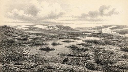
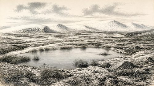
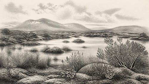
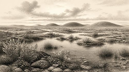
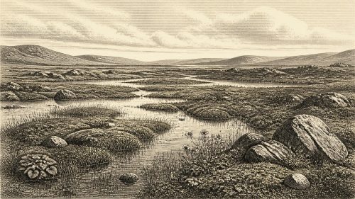
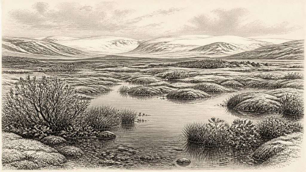
The contents of the silts point to a cold freshwater environment rather than a forested refuge. Mosses, sedges, insect remains and plant macrofossils were preserved. Among the most memorable is a seed of bogbean or buckbean, Menyanthes trifoliata, a plant associated with wet ground and shallow freshwater. Fossil evidence also includes dwarf willow and other plants consistent with open, arctic-alpine or tundra-like conditions. Pollen preservation was imperfect, as is common in deposits of this age, yet the combined assemblage supports a landscape with shallow water, wet margins, low vegetation and little or no woodland.
The word “tundra” should not suggest a single, uniform scene spread across every Irish county. Derryvree records one locality, not the whole island. Nor should the older comparison with muskeg be treated as a claim that Fermanagh exactly resembled a modern Canadian peatland. The sounder interpretation is of a periglacial mosaic: mossy, sedgy and waterlogged ground in places; shallow pools and slow water in others; exposed mineral soils and sparse herbs beyond them. Seasonal freezing and thaw, wind and poor drainage would have been major forces in daily ecological life.
Animals in the Wider Landscape
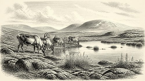
Fermanagh’s wetland is complemented, cautiously, by the Pleistocene animal record from Castlepook Cave, also called Mammoth Cave, near Doneraile in County Cork. Historic cave excavations produced remains attributed to woolly mammoth, reindeer, giant deer, brown bear, wolf, fox, Arctic fox, mountain hare, lemmings and spotted hyaena. The National Museum of Ireland holds, among other material, a spotted-hyaena skull from the cave. This is powerful evidence that, during portions of Marine Isotope Stage 3, Ireland was reached by a far richer cold-stage fauna than the island possessed in later millennia.
These animals make ecological sense in open, cold country, but they must not be arranged into a fictitious tableau for 30,590 BCE. Cave assemblages commonly accumulate over long periods. Carnivores may drag in bones; water can move material; scavengers and later disturbance can alter deposits; and early twentieth-century excavations did not record every layer to modern standards. Improved radiocarbon methods have also shown that a number of older dates from Irish caves were unreliable or required major revision. A mammoth bone and a reindeer bone from Castlepook need not represent the same season, generation or even millennium.
Still, the broad conclusion is secure. Reindeer and lemmings favour cold, open settings; mammoth and giant deer indicate that, at intervals, enough grazing country existed to support large herbivores; wolves and spotted hyaenas reveal predator and scavenger communities. The fauna shows movement, opportunity and ecological connectivity with the wider north-west European world. It cannot supply an island-wide census, a fixed coastline, or proof that every named species lived alongside the Derryvree wetland.
People: A Question, Not a Population
The prospect of human activity at this depth of time must be handled with particular restraint. A reindeer femur from Castlepook has been reported as bearing marks consistent with stone-tool modification and has been associated with an age of about 33,000 years ago. It is an important reason to investigate the possibility that people reached Ireland before the Last Glacial Maximum. Yet the bone was recovered in older excavations, lacks the kind of securely excavated habitation context that would settle the matter, and is not evidence for a permanent population. Current research at Castlepook is re-examining surviving deposits, chronology and the cave’s formation history.
There is no securely identified house, hearth, stone-tool assemblage, burial, artwork or occupation surface in Ireland that can be assigned to around 30,590 BCE. Nor is there evidence for a continuous ancestry between any possible visitors of this period and later inhabitants. The archaeological record is exceptionally vulnerable: later glaciers eroded, reworked or buried ground surfaces, while acidic soils and changing drainage destroyed many organic traces that might once have survived.
If people did enter Ireland during a favourable interval, comparison with Upper Palaeolithic communities elsewhere in north-west Europe suggests that they would have required exacting practical knowledge: animal movements, weather, fuel, shelter, stone-working and the many uses of hides, sinew, marrow and bone. That is a comparative inference, not a description of a demonstrated Irish community. It should not be inflated into claims about language, ethnicity, social hierarchy, ritual or a named archaeological culture on the island.
No Polities, No Trade Network
Accordingly, familiar historical headings have strict limits here. There is no evidence for political authority, diplomacy, warfare between communities, territorial rule, formal religion, monuments, agriculture, domesticated livestock, metalworking or long-distance trade in Ireland at this time. There were no farms, roads, ports or managed woodlands. The Derryvree evidence instead reveals the environmental foundations on which any animal—and any hypothetical human visitor—would have depended: water that remained available in some seasons, sparse plant cover, grazing routes, sheltering landforms and the hazards of frost and encroaching ice.
Learning, if humans were present, would have been embodied knowledge rather than writing: the ability to read tracks, snow, ice, plants, carcasses and seasonal change. But even this is an inference from the lives of hunter-gatherers elsewhere, not an excavated fact from Fermanagh or Cork. The responsible historical answer is that Irish society cannot presently be recovered for this date.
An Island Approaching Transformation
The Derryvree sequence is important precisely because it corrects the crude notion that Ireland was continuously sealed beneath a featureless ice sheet throughout the last Ice Age. At some stage in the interval represented by its sediments, this part of Fermanagh had exposed land, freshwater and functioning wetland ecology. Elsewhere, however, ice conditions may have differed sharply according to altitude, region and the timing of local advances. Lower global sea levels changed the surrounding geography, but the surviving evidence does not justify a simple map of a land bridge, a known migration route or an accessible coast for this particular date.
Over the following millennia the balance shifted dramatically. Reconstructions of the British–Irish Ice Sheet indicate substantial growth after this general period, culminating later in the Last Glacial Maximum, when ice covered almost all of Ireland and extended onto surrounding shelves. That later ice advance reshaped valleys and drainage, built and remodelled drumlins, and destroyed much of the older land surface. The very fact that Derryvree’s freshwater bed was sealed between tills explains both its rarity and its value.
For 30,590 BCE, then, the most defensible picture is neither an empty white void nor a settled Ice Age Ireland. It is a changing cold-stage frontier: at Derryvree, freshwater accumulated among mosses, sedges and low plants; across the wider island, large mammals and predators appeared during overlapping phases; and ice was a recurrent, ultimately dominant force. The surviving record offers no annual chronicle, but it preserves something more fundamental—the fragile ecological conditions from which any later human history of Ireland would eventually emerge.
Source References
Hover over a number to see the source. Select it to open the source.

- [1] A Middle Midlandian Freshwater Series at Derryvree, Maguiresbridge, County Fermanagh, Northern Ireland
- [2] An Inter-Till Freshwater Deposit at Hollymount, Maguiresbridge, County Fermanagh
- [3] A Reconsideration of the Radiocarbon Dating of the Marine Isotope Stage 3 Fauna from Southern Ireland
- [4] The Irish Quaternary Fauna Project
- [5] First Evidence of a Late Upper Palaeolithic Human Presence in Ireland
- [6] The Colonization of Ireland: A Human Ecology Perspective
- [7] New Insights on the Fauna of Ireland’s Younger Dryas and Early Holocene From Alice & Gwendoline Cave
- [8] Episodic Speleothem Deposition Tracks the Terrestrial Impact of Millennial-Scale Climate Change in Ireland During Marine Isotope Stage 3
- [9] Exploring Controls of the Early and Stepped Deglaciation on the Western Margin of the British-Irish Ice Sheet
- [10] New Data for the Last Glacial Maximum in Great Britain and Ireland
- [11] Trimlines, Blockfields and the Vertical Extent of the Last Ice Sheet in Southern Ireland
- [12] Last Glacial Maximum Cirque Glaciation in Ireland and Implications for Reconstructions of the Irish Ice Sheet
- [13] Freshwater Organic Deposits and Stratified Sediments Between Early and Late Midlandian (Devensian) Till Sheets, at Aghnadarragh, County Antrim, Northern Ireland
- [14] The Glacial Stratigraphy of the Sperrin Mountains and Its Relation to the Glacial Stratigraphy of North-West Ireland
- [15] Figure 6—The Subdivision of the Quaternary Period in Ireland
- [16] Spotted Hyena Skull
- [17] Archaeology Research Excavation Grant 2022: Castlepook Cave, Co. Cork
- [18] 32564: Castlepook Cave, Castlepook, Cork
- [19] Menyanthes trifoliata L.
- [20] Salix herbacea L.
- [21] Selaginella selaginoides (L.) P. Beauv.
- [22] Dimensions and Chronology of the Last Ice Sheet in Western Ireland
Primary Sources
- A Middle Midlandian Freshwater Series at Derryvree, Maguiresbridge, County Fermanagh, Northern Ireland
- An Inter-Till Freshwater Deposit at Hollymount, Maguiresbridge, County Fermanagh
- A Reconsideration of the Radiocarbon Dating of the Marine Isotope Stage 3 Fauna from Southern Ireland
- The Irish Quaternary Fauna Project
- First Evidence of a Late Upper Palaeolithic Human Presence in Ireland
- The Colonization of Ireland: A Human Ecology Perspective
- New Insights on the Fauna of Ireland’s Younger Dryas and Early Holocene From Alice & Gwendoline Cave
- Episodic Speleothem Deposition Tracks the Terrestrial Impact of Millennial-Scale Climate Change in Ireland During Marine Isotope Stage 3
- Exploring Controls of the Early and Stepped Deglaciation on the Western Margin of the British-Irish Ice Sheet
- New Data for the Last Glacial Maximum in Great Britain and Ireland
- Trimlines, Blockfields and the Vertical Extent of the Last Ice Sheet in Southern Ireland
- Last Glacial Maximum Cirque Glaciation in Ireland and Implications for Reconstructions of the Irish Ice Sheet
- Freshwater Organic Deposits and Stratified Sediments Between Early and Late Midlandian (Devensian) Till Sheets, at Aghnadarragh, County Antrim, Northern Ireland
- The Glacial Stratigraphy of the Sperrin Mountains and Its Relation to the Glacial Stratigraphy of North-West Ireland
- Figure 6—The Subdivision of the Quaternary Period in Ireland
- Spotted Hyena Skull
- Archaeology Research Excavation Grant 2022: Castlepook Cave, Co. Cork
- 32564: Castlepook Cave, Castlepook, Cork
- Menyanthes trifoliata L.
- Salix herbacea L.
- Selaginella selaginoides (L.) P. Beauv.
- Dimensions and Chronology of the Last Ice Sheet in Western Ireland