Glacial Renewal30556 BCE
At roughly 32,500 calibrated years before 1950, Ireland lay within an unstable Late Pleistocene glacial landscape. Derryvree in County Fermanagh preserves freshwater sediments between tills, recording ice, a cold, treeless wetland, and renewed glaciation. Plant and insect remains indicate shallow water, mossy ground and sparse vegetation. Ice was expanding unevenly across the region, while lower seas altered coasts. Cave deposits at Castlepook document cold-adapted fauna, including reindeer, mammoth and predators. A possibly cut-marked reindeer femur may indicate human carcass processing, but cannot prove settlement. No political or cultural history is recoverable; scientific evidence instead reveals changing environments and fragmentary possibilities.
Dateline
The label “30,556 BCE” is useful only as a modern point of reference. No event in Ireland can be assigned to that calendar year, and no community then kept a calendar that can be reconciled with ours. In scientific terms, the date falls at roughly 32,500 calibrated years before AD 1950, within the Late Pleistocene, Marine Isotope Stage 3 and the long last glacial cycle. The responsible history of Ireland at this depth is therefore not a chronicle of kings, battles or settlements. It is a reconstruction from sediment, plant remains, animal bones, cave deposits, landforms and laboratory dating, all of which have margins of uncertainty.
The most illuminating Irish evidence comes from Derryvree townland near Maguiresbridge, County Fermanagh. There, roadworks in 1969 cut through a drumlin and revealed freshwater silts, sands and organic deposits trapped between two bodies of till: unsorted debris laid down directly by moving ice. This sequence demonstrates a basic but important history. Ice had occupied the locality; a period followed in which open water and wet ground developed; then ice returned and sealed the deposits beneath a later till. It offers a rare surviving glimpse of an Irish landscape before the full growth of the last British–Irish Ice Sheet.
A Date Within a Range
A radiocarbon determination from the Derryvree organic layer, BIRM-166, was reported as 30,500 ± 1,100 radiocarbon years before present. That is not equivalent to 30,500 calendar years. Atmospheric carbon-14 levels changed through time, so radiocarbon results require calibration against independent chronological records. Modern calibration expresses the Derryvree interval broadly, rather than as one exact year: approximately 36,900–31,700 calibrated years BP, or about 34,950–29,750 BCE. The requested date falls within that broad window, but cannot be pinned to a particular sediment layer, season or generation.
Climate correlations can provide further context but must not be mistaken for a local weather report. Around this point, Greenland ice-core records register one of the abrupt warmer phases that scientists term interstadials. Such episodes affected the North Atlantic world, yet their precise environmental expression in Fermanagh is inferred from local evidence rather than mechanically transferred from Greenland. Ireland was in an unstable cold-age landscape: temperatures, sea level, ice margins and habitats could change markedly over periods far shorter than the immense span of the Ice Age, while still remaining impossible to resolve to a single calendar year.
Freshwater Beneath the Drumlin
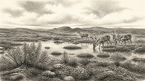
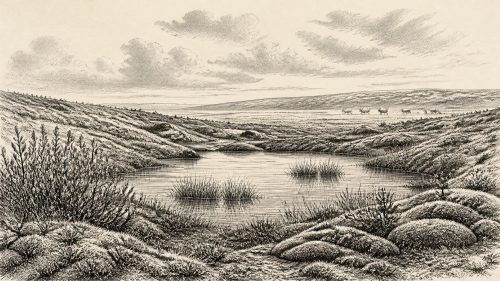
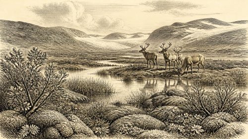
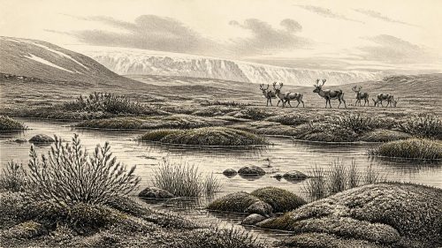
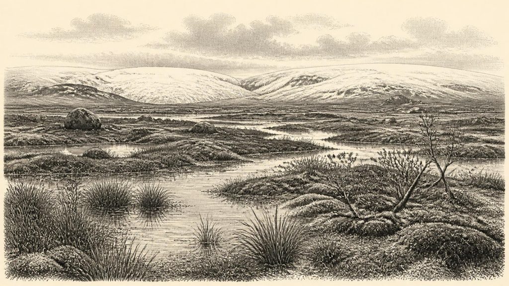
Derryvree’s sediments preserve traces of an environment strikingly unlike modern Fermanagh. Plant macrofossils, mosses, pollen and insect evidence indicate cold, open, largely treeless ground around freshwater pools and saturated margins. Sedges, bogbean, dwarf willow, clubmosses and cold-tolerant herbs are among the plants identified or associated with the assemblage. Aquatic remains show that water was standing or slow-moving. Rather than an unbroken white waste, the place was a patchwork of shallow water, wet mossy ground, mud, sparse vegetation and exposed mineral soil.
This has sometimes been described as muskeg: a cold, waterlogged wetland in which peat-forming vegetation, shallow pools and permafrost-influenced ground may coexist. The term is a useful ecological comparison, not proof that every detail matched any modern northern landscape. The plant record is stronger evidence for the presence of certain habitats than for the exact appearance of the wider countryside. It can show that woodland was absent locally and that freshwater conditions existed; it cannot supply a panoramic map of the whole island.
Nevertheless, the contrast matters. There were no oak woods, hedgerows, fields, villages or Atlantic blanket bogs of the familiar Irish imagination. The land around Derryvree had been shaped by earlier ice, and its wetland accumulated slowly enough for small biological traces to be preserved. Later glaciation then buried it. That burial was destructive on a national scale, scouring away much older ground surface, but protective at this particular spot. The drumlin became an archive precisely because ice had sealed its freshwater interval.
Ice Was Growing, Not Yet Uniform
The date lies before the fullest expansion of the last British–Irish Ice Sheet, whose greatest overall extent and volume came later, broadly during the period from about 30,000 to 22,000 years ago, with maximum ice volume around 23,000 years ago. New reconstructions show that this was not a single simple advance that covered every region simultaneously. Ice growth and maximum positions varied by sector. At around 32,500 years ago, upland and northern ice centres were developing, while evidence such as Derryvree shows that at least one locality in Fermanagh had experienced an earlier ice-free freshwater phase within the longer glacial episode.
That does not justify declaring all Ireland ice-free in 30,556 BCE. Nor does it permit a precise line to be drawn around ice for that year. Glacial reconstructions combine dated sediments, landforms, marine cores and modelling; their time slices are generally measured in millennia, not individual years. The sound conclusion is more modest: Ireland was entering a period of major ice-sheet growth, and its regional landscapes were uneven, changing and environmentally severe. A wetland could exist in one preserved basin while glaciers accumulated or advanced elsewhere.
Sea level was much lower than today because water was held in continental ice sheets. The coastlines and shallow seas around Ireland therefore differed substantially from modern ones. But the exact accessibility of Ireland at this moment remains uncertain. Lower sea level alone does not prove an uncomplicated land route, since ice, rivers, exposed shelves, shifting coastlines and local relief all mattered. For the same reason, possible movements of animals or people must be discussed as ecological and geographical possibilities, not as known journeys.
Animals of the Cold Landscape
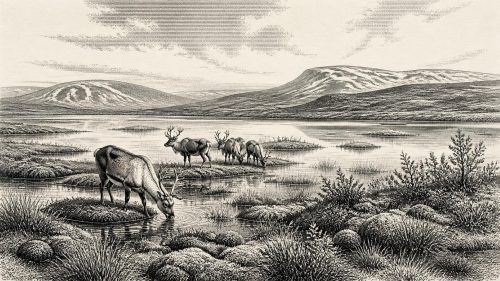
Southern cave deposits, especially at Castlepook Cave near Doneraile in north County Cork, show that Ireland could support a richer Late Pleistocene fauna than its later, isolated animal communities suggest. The wider Castlepook collection includes remains attributed to reindeer, woolly mammoth, giant deer, brown bear, wolf, fox, mountain hare, lemmings and spotted hyaena. These remains were accumulated over a long period and cannot be treated as a census from one season, let alone a single year. Their importance is environmental: together they demonstrate the periodic presence of large grazers and browsers, smaller cold-adapted mammals and powerful predators in Ireland during favourable phases of the last glacial cycle.
Reindeer are particularly evocative because they suit open, cold habitats and could have ranged across landscapes offering lichens, herbs, sedges and other seasonal food. Mammoth and giant deer point to extensive feeding grounds beyond a cave entrance. Hyaenas, wolves and foxes also complicate the archaeological picture. Caves were not necessarily human shelters; they could be carnivore dens, scavenging sites and traps for bones moved from elsewhere. Tooth marks, breakage, weathering and the location of finds must be examined before a bone can be used to tell a story of hunting or habitation.
The Reindeer Femur Question
Castlepook has exceptional importance because a reindeer femur has been interpreted by zooarchaeologist Ruth Carden as carrying a deep mark made by a sharp stone tool during butchery. Heritage interpretation has associated the animal bone with roughly 33,000 years ago, close enough to the broad period discussed here to make it highly relevant. If the mark is confirmed as anthropogenic and its relationship to the dated bone is sustained, it would be the earliest known indication that people handled an animal in Ireland, many millennia earlier than the better-established terminal-Pleistocene evidence from County Clare.
Yet the limits of that claim are as important as its promise. The femur dates the death of a reindeer, not a named hunting party or the moment when the incision was made. It came from an old and complex cave collection rather than a recently excavated, sealed occupation floor. No securely associated stone-tool assemblage, hearth, dwelling, human burial, artwork or repeated occupation surface of comparable age has been published from Ireland. A cut-marked bone, even if the interpretation stands, indicates a narrow action: the processing of a carcass. It does not demonstrate a permanent population, a settled camp, a language, a tribe or descent from later Irish communities.
What Cannot Be Written
There is no evidence for political affairs, diplomacy, organised warfare, government or territorial rule in Ireland at this date. There is likewise no basis for reconstructing trade, farming, seafaring, formal religion, monuments, literacy or learned tradition. If people entered the island, they would have belonged to mobile Upper Palaeolithic hunter-gatherer worlds known more fully in neighbouring north-west Europe; but that is comparative interpretation, not direct evidence for an Irish community. The absence of recognised houses and cemeteries may partly reflect later glacial erosion and the difficulty of finding sites now submerged or deeply buried, but absence cannot be converted into proof of a hidden society.
Culture and learning survive here in another sense: modern scientific practice makes the period legible. Radiocarbon dating, calibration curves, pollen analysis, plant macrofossil study, insect identification, zooarchaeology, cave taphonomy and ice-sheet modelling each answer different questions. None is sufficient alone. Their combined result is a disciplined, fragmentary portrait: cold open wetlands in Fermanagh; episodic animal communities in Cork; growing ice around the wider region; and one tantalising possible trace of human action.
For Ireland around 30,556 BCE, then, the central development was environmental rather than political. Derryvree’s freshwater sediments record a brief preserved interval in a landscape caught between glaciations. They show that even during the last Ice Age, conditions were not static. Water collected, plants colonised wet margins, insects lived among them, animals moved through connected northern environments, and then renewed ice transformed the land again. The archive is small, local and incomplete, but it is enough to replace a blank prehistoric void with a changing Irish world.
Source References
Hover over a number to see the source. Select it to open the source.

- [1] A Middle Midlandian Freshwater Series at Derryvree, Maguiresbridge, County Fermanagh, Northern Ireland
- [2] Palaeoecology
- [3] The Quaternary of Ireland
- [4] Growth and Retreat of the Last British–Irish Ice Sheet, 31,000 to 15,000 Years Ago: the BRITICE-CHRONO Reconstruction
- [5] BRITICE-CHRONO Maps and GIS Data of the Last British-Irish Ice Sheet 31 to 15 ka, Including Model Reconstruction, Geochronometric Age Spreadsheet, Palaeotopographies and Coastline Positions
- [6] The Colonization of Ireland: A Human Ecology Perspective
- [7] The Irish Quaternary Fauna Project
- [8] First Evidence of a Late Upper Palaeolithic Human Presence in Ireland
- [9] New Insights on the Fauna of Ireland’s Younger Dryas and Early Holocene from Alice & Gwendoline Cave
- [10] The IntCal20 Northern Hemisphere Radiocarbon Age Calibration Curve (0–55 cal kBP)
- [11] A Stratigraphic Framework for Abrupt Climatic Changes During the Last Glacial Period Based on Three Synchronized Greenland Ice-Core Records: Refining and Extending the INTIMATE Event Stratigraphy
- [12] Radiocarbon Constraints on the Age of the Maximum Advance of the British–Irish Ice Sheet in the Celtic Sea
- [13] Late Pleistocene Chronostratigraphy and Ice Sheet Limits, Southern Ireland
- [14] Last Glacial Maximum Cirque Glaciation in Ireland and Implications for Reconstructions of the Irish Ice Sheet
- [15] New Data for the Last Glacial Maximum in Great Britain and Ireland
- [16] Pattern, Style and Timing of British–Irish Ice Sheet Advance and Retreat Over the Last 45,000 Years: Evidence from NW Scotland and the Adjacent Continental Shelf
- [17] Archaeological Heritage of County Cork
- [18] Heritage Artefacts of County Cork
- [19] Our Ancient Landscapes: Hunter-Gatherers in Ireland
- [20] The Glacial Stratigraphy of the Sperrin Mountains and Its Relation to the Glacial Stratigraphy of North-West Ireland
- [21] The Geological Heritage of County Leitrim
Primary Sources
- A Middle Midlandian Freshwater Series at Derryvree, Maguiresbridge, County Fermanagh, Northern Ireland
- Palaeoecology
- The Quaternary of Ireland
- Growth and Retreat of the Last British–Irish Ice Sheet, 31,000 to 15,000 Years Ago: the BRITICE-CHRONO Reconstruction
- BRITICE-CHRONO Maps and GIS Data of the Last British-Irish Ice Sheet 31 to 15 ka, Including Model Reconstruction, Geochronometric Age Spreadsheet, Palaeotopographies and Coastline Positions
- The Colonization of Ireland: A Human Ecology Perspective
- The Irish Quaternary Fauna Project
- First Evidence of a Late Upper Palaeolithic Human Presence in Ireland
- New Insights on the Fauna of Ireland’s Younger Dryas and Early Holocene from Alice & Gwendoline Cave
- The IntCal20 Northern Hemisphere Radiocarbon Age Calibration Curve (0–55 cal kBP)
- A Stratigraphic Framework for Abrupt Climatic Changes During the Last Glacial Period Based on Three Synchronized Greenland Ice-Core Records: Refining and Extending the INTIMATE Event Stratigraphy
- Radiocarbon Constraints on the Age of the Maximum Advance of the British–Irish Ice Sheet in the Celtic Sea
- Late Pleistocene Chronostratigraphy and Ice Sheet Limits, Southern Ireland
- Last Glacial Maximum Cirque Glaciation in Ireland and Implications for Reconstructions of the Irish Ice Sheet
- New Data for the Last Glacial Maximum in Great Britain and Ireland
- Pattern, Style and Timing of British–Irish Ice Sheet Advance and Retreat Over the Last 45,000 Years: Evidence from NW Scotland and the Adjacent Continental Shelf
- Archaeological Heritage of County Cork
- Heritage Artefacts of County Cork
- Our Ancient Landscapes: Hunter-Gatherers in Ireland
- The Glacial Stratigraphy of the Sperrin Mountains and Its Relation to the Glacial Stratigraphy of North-West Ireland
- The Geological Heritage of County Leitrim