Castlepook Palimpsest30425 BCE
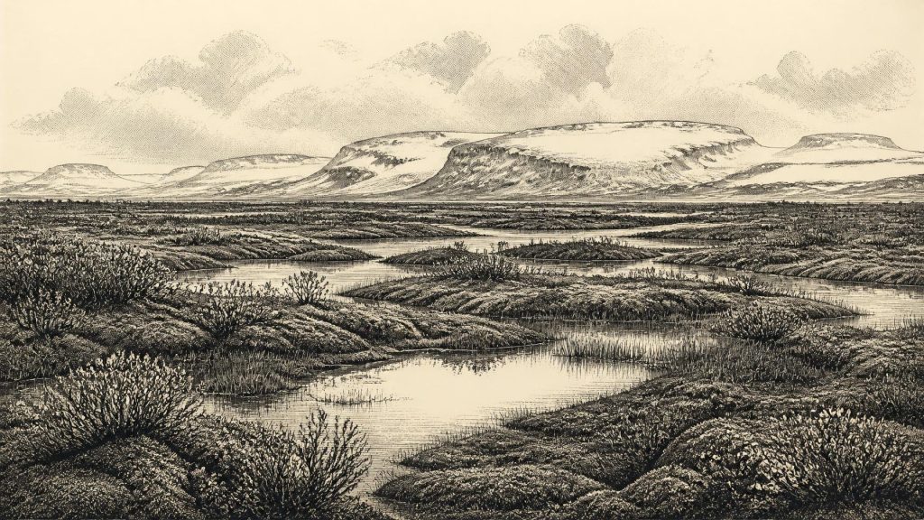
Around 30,425 BCE, Ireland was an unstable Late Pleistocene landscape, not a historically datable society. At Derryvree, County Fermanagh, freshwater sediments between glacial tills show temporary ice-free tundra wetland, with sedges, mosses and arctic-alpine plants, before renewed glaciation. Castlepook Cave, County Cork, preserves mammoth, reindeer, hyaena and other cold-stage fauna, accumulated over extended periods. A cut-marked reindeer femur may indicate Upper Palaeolithic butchery, but cannot establish settlement, culture or migration. Ice, changing sea levels and later erosion shaped access and survival of evidence. Ireland’s record therefore documents environmental change, animal life and possible fleeting human visits during this remote interval.
Dateline
Modern calendar-year precision is not available for Ireland at this depth of time. “30,425 BCE” is a useful modern label, not a date that anyone then living could have recorded or recognised. It falls in the Late Pleistocene, within Marine Isotope Stage 3, an unstable part of the last Ice Age. The responsible evidence comes not from annals, settlements or named peoples, but from radiocarbon measurements, sediments, fossil plants, insects, animal bones and the traces left by advancing ice. These sources can illuminate a broad interval around the date, not a single Irish day or year.
A Date Measured in Ranges
The key chronological difficulty is that radiocarbon years are not calendar years. Radiocarbon laboratories conventionally count backwards from AD 1950, and changing atmospheric carbon levels mean that results must be calibrated against independent records. The relevant Irish determination, BIRM-166 from Derryvree in County Fermanagh, gave an uncalibrated age of 30,500 radiocarbon years before present, with a large error range of +1,170 and −1,030 years. Subsequent modelling within a British–Irish Ice Sheet chronology has treated it as evidence for ice-free ground at about 33.5 ± 1.2 thousand calibrated years before present.
Thus 30,425 BCE should not be made to stand for a precisely dated event at Derryvree. It lies within the broad chronological territory illuminated by the deposit, but neither the wetland itself nor any animal bone can be assigned to that exact modern year. The proper picture is of changing environments over centuries and millennia: local ice retreat or absence, a short-lived freshwater landscape, then later burial beneath glacier-laid sediment.
The Derryvree Freshwater Record
Derryvree, near Maguiresbridge, is among the most informative places for this phase of Irish prehistory. Road works in 1969 cut through a drumlin, exposing a remarkable sequence. A lower till, debris deposited beneath or at the margin of glacier ice, was overlain by freshwater silts, fine sands and organic material. A second thick till lay above. The order of the layers is compelling evidence: glacier ice had occupied the locality; subsequently a basin supported water, plants and small animals; then a later ice advance sealed the deposits under fresh glacial sediment.
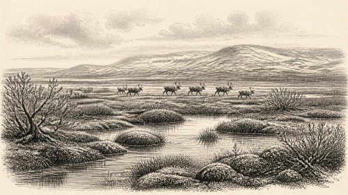
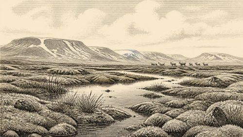
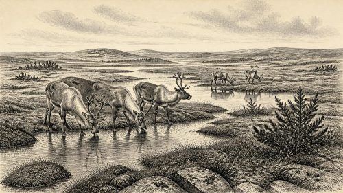
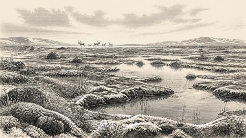
The organic bed did not preserve a forest or a temperate countryside. Its pollen, plant remains, mosses and insects indicate open, treeless tundra or muskeg: a cold, wet, peaty landscape with shallow pools, waterlogged ground and sparse vegetation. Grasses and sedges were important, alongside dwarf shrubs and herbs suited to severe conditions. Juniper, dwarf willow, mountain avens, clubmosses and other arctic-alpine elements belong to the broader fossil signal reported from the site. Mosses and aquatic plants show that, despite cold winters and short growing seasons, freshwater habitats could be locally productive.
This was not necessarily the condition of every part of Ireland at the same moment. Derryvree is a local archive, preserved by unusual geological circumstances, rather than a map of the entire island. But it decisively rules out any simple image of Ireland as continuously and uniformly ice-covered throughout the whole Ice Age. Around the interval represented by BIRM-166, at least part of north-western Ireland possessed exposed ground and freshwater ecosystems between glacial episodes.
An Island in an Ice-Age Archipelago
Ireland’s coastlines and connections were unlike those of the modern island. Global sea levels were lower because vast quantities of water were locked in ice sheets, exposing wider shelves around Britain and Ireland. Yet lower sea level alone does not prove an easy, continuous land crossing from continental Europe, Britain or Scotland to any given Irish locality. The form of the sea basin, glacier margins, rivers, estuaries and seasonal conditions all mattered. At this time the British–Irish Ice Sheet was developing unevenly, with regional ice centres and margins changing at different speeds.
Recent reconstructions stress that the later maximum extent of the British–Irish Ice Sheet was not one instant of uniform advance. Its widest overall extent was reached around 26,000 years ago, after the Derryvree freshwater episode. For the time around 30,425 BCE, the evidence instead points to a shifting threshold: some areas supported cold open habitats while ice was accumulating, flowing or returning elsewhere. The landscape was therefore neither permanently accessible nor permanently closed. Its opportunities for animals—and possibly occasional people—would have changed with climate, snow cover, frozen ground and the position of ice and water.
The Cave Fauna of North Cork
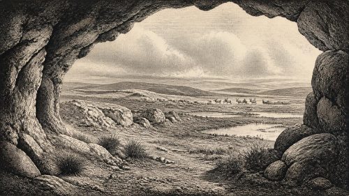
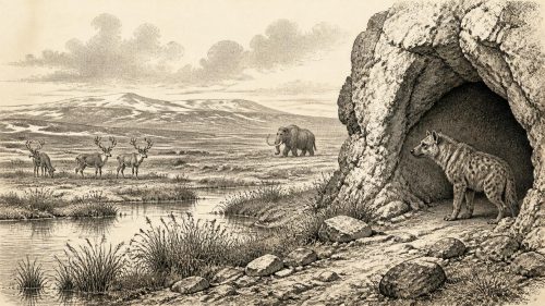
Far to the south, Castlepook Cave near Doneraile in County Cork—long known as Mammoth Cave—preserves another important, though very different, archive. Antiquarian excavation recovered an extensive collection of Pleistocene bones. It includes woolly mammoth, spotted hyaena, reindeer, wolf, foxes, brown bear, mountain hare, lemmings and giant deer. Such animals do not represent one neatly simultaneous community or a single episode in the cave. Carnivores could drag carcass parts underground; water, frost, collapse and later excavation could disturb deposits; and the collection accumulated over a long span.
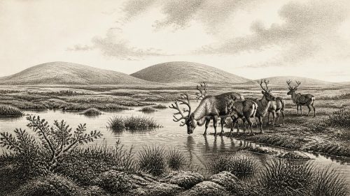
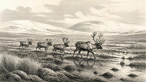
Even so, the fauna establishes that Ireland contained cold-stage habitats capable of supporting a varied mammal community during parts of the Middle Midlandian, the Irish name often used for the later Pleistocene cold stage. Reindeer and lemmings evoke open, cold country; mammoth indicates extensive grass- and herb-rich terrain somewhere within the animals’ range; hyaenas point to predation and scavenging networks. Caves were not simply shelters for people. They were also carnivore dens, traps, bone accumulators and refuges from weather, making their deposits precious but difficult evidence.
The Reindeer Femur Question
A single Castlepook reindeer femur has transformed discussion of Ireland’s deepest human past. Zooarchaeologist Ruth Carden identified a deep linear mark interpreted as damage made by a sharp stone tool during the processing of fresh bone. Public heritage accounts place the bone broadly around 31,000 BCE, while reports commonly describe its radiocarbon age as about 33,000 years. If the interpretation of the mark is sustained, it is evidence that a person used a cutting edge on a reindeer carcass in Ireland during the Upper Palaeolithic.
That conclusion must remain narrow. The bone’s date is the age of the animal, not automatically the exact moment when the mark was made. The specimen derives from an old cave collection, not from a modern excavation of an intact occupation floor containing refitting tools, hearths and food debris. No securely associated stone-tool assemblage, dwelling, grave, human skeleton, artwork or stratified Palaeolithic camp has yet been published for Ireland around this date. The femur may record butchery, but it does not demonstrate a settled population, a named culture, a migration route or descent from these possible visitors to later Irish communities.
Society Beyond Recovery
Consequently, political affairs, diplomacy and organised conflict cannot be reconstructed for Ireland in 30,425 BCE. There were no states, kings, tribal names, legal systems or written records available to archaeology. Nor can historians responsibly describe a domestic economy, seasonal camp routine, spiritual practice or language. The evidence is simply too thin. If people reached the island, they may have been highly mobile hunter-gatherers familiar with cold environments and large game, as Upper Palaeolithic groups elsewhere in north-west Europe were. But that is an interpretation drawn from wider European comparison, not a demonstrated Irish social history.
The most that can be said about economy is equally limited. The marked reindeer bone, if humanly modified, implies carcass processing: cutting meat, removing tissue or separating part of a limb. It does not prove that people hunted the reindeer rather than encountered a scavenged carcass. It proves neither a trade network nor a regular food supply. There is no evidence for farming, animal husbandry, pottery, metalwork, monument building or long-distance exchange in Ireland at this stage. There is also no evidence from which religious beliefs or ritual can be recovered.
Environmental Change as History
The chief historical development around this notional year was environmental volatility. A tundra wetland at Derryvree, animal movement through southern limestone country and a growing ice system around Ireland belong to the same broad Ice-Age world, though they should not be compressed into one imagined scene. Water, sedges and mosses offered small zones of life in Fermanagh; open grass-herb habitats sustained grazing animals elsewhere; predators followed prey; and later glaciers destroyed or buried much of what had existed.
That destruction explains the extraordinary sparseness of the Irish record. Later ice scoured bedrock, reworked sediments and erased most open-air surfaces on which tools or camps might once have survived. The evidence now depends on protected pockets: a freshwater layer caught between tills, a cave bone retained in a museum collection, or a fossil assemblage re-examined with improved dating and scientific methods. The absence of a settlement record is therefore not proof that no person ever came, but neither can it be filled with invented stories.
Ireland around 30,425 BCE is best understood as a changing periglacial landscape rather than a nation in the later historical sense. Derryvree’s silts record cold freshwater life on land temporarily free of ice. Castlepook’s fauna records an Ice-Age animal world, and its marked reindeer femur raises the possibility of a brief human encounter. Those are modest traces, yet they are important ones: they show that even at the edge of glaciated north-west Europe, Ireland had environments, animals and perhaps visitors whose history survives in mud, bone and ice-borne debris.
Source References
Hover over a number to see the source. Select it to open the source.

- [1] A Middle Midlandian Freshwater Series at Derryvree, Maguiresbridge, County Fermanagh, Northern Ireland
- [2] Growth and Retreat of the Last British–Irish Ice Sheet, 31,000 to 15,000 Years Ago: The BRITICE-CHRONO Reconstruction
- [3] Exploring Controls of the Early and Stepped Deglaciation on the Western Margin of the British-Irish Ice Sheet
- [4] Irish Pleistocene Biostratigraphy
- [5] Pleistocene Glaciations in Ireland
- [6] Figure 6—The Subdivision of the Quaternary Period in Ireland
- [7] The Irish Quaternary Fauna Project
- [8] Ireland’s Red Deer: Their Historical, Archaeological and Biomolecular Records
- [9] New Insights on the Fauna of Ireland’s Younger Dryas and Early Holocene from Alice & Gwendoline Cave
- [10] The IntCal20 Northern Hemisphere Radiocarbon Age Calibration Curve (0–55 cal kBP)
- [11] The Colonization of Ireland: A Human Ecology Perspective
- [12] Archaeological Heritage of County Cork
- [13] Heritage Artefacts of County Cork
- [14] 32564 — Castlepook Cave, County Cork, 2022 Excavation Report
- [15] Our Ancient Landscapes: Hunter-Gatherers in Ireland
- [16] Reindeer Bone Found in Cork Cave Shows Human Activity in Ireland 33,000 Years Ago
- [17] Ireland’s Palaeolithic Archaeology — Fleeting Footprints in a Frozen Land
- [18] Proceedings of the Postglacial Conference, Irish Biogeographical Society
- [19] Soils of County Waterford
- [20] Pleistocene Glacial Deposits and Landscape Evolution in Ireland: A Review
Primary Sources
- A Middle Midlandian Freshwater Series at Derryvree, Maguiresbridge, County Fermanagh, Northern Ireland
- Growth and Retreat of the Last British–Irish Ice Sheet, 31,000 to 15,000 Years Ago: The BRITICE-CHRONO Reconstruction
- Exploring Controls of the Early and Stepped Deglaciation on the Western Margin of the British-Irish Ice Sheet
- Irish Pleistocene Biostratigraphy
- Pleistocene Glaciations in Ireland
- Figure 6—The Subdivision of the Quaternary Period in Ireland
- The Irish Quaternary Fauna Project
- Ireland’s Red Deer: Their Historical, Archaeological and Biomolecular Records
- New Insights on the Fauna of Ireland’s Younger Dryas and Early Holocene from Alice & Gwendoline Cave
- The IntCal20 Northern Hemisphere Radiocarbon Age Calibration Curve (0–55 cal kBP)
- The Colonization of Ireland: A Human Ecology Perspective
- Archaeological Heritage of County Cork
- Heritage Artefacts of County Cork
- 32564 — Castlepook Cave, County Cork, 2022 Excavation Report
- Our Ancient Landscapes: Hunter-Gatherers in Ireland
- Reindeer Bone Found in Cork Cave Shows Human Activity in Ireland 33,000 Years Ago
- Ireland’s Palaeolithic Archaeology — Fleeting Footprints in a Frozen Land
- Proceedings of the Postglacial Conference, Irish Biogeographical Society
- Soils of County Waterford
- Pleistocene Glacial Deposits and Landscape Evolution in Ireland: A Review