Archived: 6 October 2026
Abstract
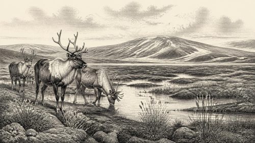
Around 30,213 BCE, Ireland lay in the unstable Late Pleistocene cold stage, but evidence cannot identify conditions in a single calendar year. At Derryvree, County Fermanagh, an organic freshwater deposit between glacial tills records an ice-free interval of open, treeless tundra and waterlogged muskeg, with herbs, mosses, bogbean and insects adapted to severe seasonal conditions. Ice-sheet growth, shifting sea levels and local geography produced changing habitats and uncertain animal routes. Castlepook Cave in County Cork preserves remains of mammoth, hyaena, reindeer and fauna. A contested cut mark suggests possible human visits, but no evidence supports permanent settlement or organised society.
Read Article
Archived: 24 September 2026
Abstract
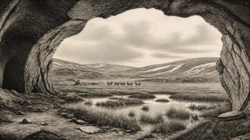
At 30,780 BCE, Ireland lay within the unstable late Pleistocene climate of Marine Isotope Stage 3, not a datable historical year. Derryvree, County Fermanagh, preserves freshwater sediments between glacial tills, indicating intervals of tundra vegetation, wetlands and ice-free ground before renewed glaciation. Castlepook Cave, County Cork, contains a long, disturbed archive of mammoth, reindeer, giant deer, bear, hyaena and other fauna, demonstrating varied cold-adapted animal presence over millennia. A marked reindeer femur may indicate stone-tool butchery and brief human contact, but lacks secure context. No evidence establishes settlement, society, routes, beliefs or sustained occupation; environmental change remains the clearest record.
Read Article
Archived: 22 September 2026
Abstract
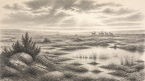
About 30,850 BCE, Ireland lay within the climatically unstable Late Pleistocene MIS 3, not a precisely datable historical year. Ice, sea levels and routes changed repeatedly, leaving fragmentary evidence. Derryvree, County Fermanagh, preserves freshwater silts between tills, indicating open, treeless, wet tundra with grasses, sedges, juniper, mosses and insects. Castlepook Cave, County Cork, yielded reindeer, mammoth, giant deer, predators and lemmings, suggesting cold steppe or tundra. A marked reindeer femur may indicate human carcass processing, but cannot prove hunting, settlement or continuous occupation. No contemporary Irish evidence demonstrates communities, culture, economy or institutions; environmental and faunal remains provide the record.
Read Article
Archived: 21 September 2026
Abstract
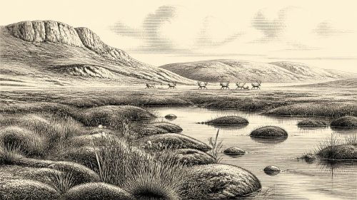
Although 30,920 BCE is a modern label rather than a recoverable Irish date, evidence places it within variable MIS 3 conditions. Derryvree, Fermanagh, preserves freshwater organic sediments indicating cold, treeless tundra wetlands before renewed glaciation. Castlepook Cave, County Cork, documents diverse fauna, including mammoth, giant deer, reindeer, hyaena, bear, wolf and Arctic species, but its disturbed deposits cannot represent one moment or habitat. A possibly cut-marked reindeer bone may indicate Upper Palaeolithic carcass processing, yet remains unconfirmed and proves neither settlement nor society. Ice-sheet expansion after about 29,000 BP transformed habitats and destroyed evidence, leaving a fragile, predominantly ecological record.
Read Article
Archived: 21 September 2026
Abstract
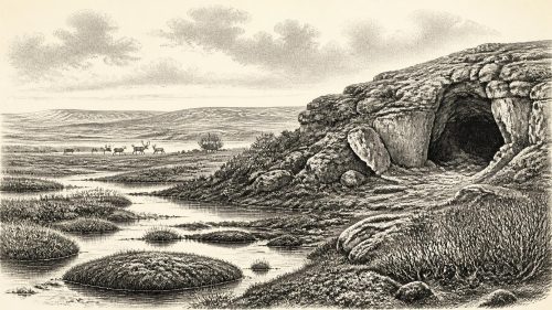
Around 30,989 BCE, Ireland was a climatically unstable Late Pleistocene landscape, not a place with recoverable annual history. Derryvree, County Fermanagh, preserves evidence of treeless tundra wetlands, with cold-adapted plants, insects and shallow freshwater habitats. Castlepook Cave, County Cork, contains remains of mammoth, reindeer, giant deer, predators and smaller northern animals, accumulated across several episodes rather than one event. A marked reindeer femur may record butchery by Upper Palaeolithic people, suggesting brief human presence, but no settlement, tools, hearths or burials are securely associated. Ireland remained ecologically connected intermittently with north-west Europe before advancing ice and changing seas restricted movement.
Read Article

Archived: 18 September 2026
Abstract
Around 31,345 BCE, Ireland experienced unstable Late Pleistocene conditions during the Midlandian glaciation. Derryvree, County Fermanagh, preserves sediments between tills, indicating cold, treeless wetlands during an ice-free interval broadly encompassing this date. The British–Irish Ice Sheet was expanding, although its precise Irish extent remains uncertain. Castlepook Cave, County Cork, contains remains of mammoth, reindeer, giant deer, bear, wolf, Arctic fox, lemmings and hyaena, demonstrating intermittent animal occupation. A modified reindeer femur may indicate Upper Palaeolithic butchery, yet cannot prove permanent human settlement. No contemporary Irish communities, polities, agriculture or cultural practices are securely evidenced. Later glaciation erased much surviving evidence.
Read Article

Archived: 17 September 2026
Abstract
Around 33,000–34,000 calibrated years before present, Ireland lay in climatically unstable Marine Isotope Stage 3, with changing ice, coastlines and open habitats. Castlepook Cave, County Cork, preserves Ireland’s richest pre-Last Glacial Maximum vertebrate fauna, accumulated over millennia rather than representing one moment. Bones of mammoth, giant deer, reindeer, bear, wolf, hyaena, Arctic fox and lemmings demonstrate periodically viable cold-climate ecosystems. Radiocarbon dates require caution, especially for old collections. A modified reindeer bone may indicate human carcass processing about 33,000 years ago, but remains unconfirmed and cannot prove permanent settlement. No evidence establishes contemporary institutions, rituals, language, or sustained occupation there.
Read Article
Archived: 16 September 2026
Abstract
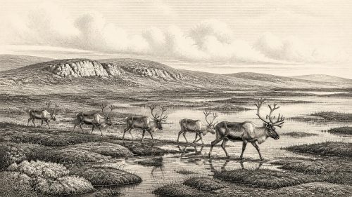
About 31,527 BCE, Ireland lay within the climatically unstable later Marine Isotope Stage 3, not a precisely datable historical year. Organic silts at Derryvree, County Fermanagh, indicate locally habitable, treeless tundra wetlands between glacial advances. Castlepook Cave in County Cork preserves remains of reindeer, mammoth, bears, hyaenas, wolves, Arctic foxes and other cold-adapted fauna, although its mixed bone deposits require caution. A marked reindeer femur may record stone-tool butchery and thus an exceptionally early human visit, but lacks corroborating tools or occupation evidence. Later ice expansion obscured landscapes. Ireland was intermittently environmentally viable, while any contemporary human presence remains unproven.
Read Article
Archived: 16 September 2026
Abstract
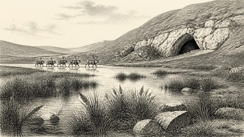
Around 33,500 years before present, Ireland lay within climatically unstable Marine Isotope Stage 3, before maximum glaciation. Evidence from Fermanagh indicates locally ice-free, treeless wetlands, while southern caves record cold-stage fauna including reindeer, mammoth, giant deer, bears, wolves and hyaenas. Castlepook Cave in north Cork preserves important but poorly contextualised bones. A marked reindeer femur may indicate Upper Palaeolithic human handling, but cannot prove hunting, settlement or repeated occupation. No securely identified Irish camps, tools, burials or social institutions date to this period. Advancing ice later transformed habitats, eliminated fauna and obscured evidence, leaving environmental history firmer than human history.
Read Article

Archived: 16 September 2026
Abstract
Around 31,597 BCE, present-day Ireland formed part of a low-sea-level, climatically volatile north-west European landmass during Marine Isotope Stage 3. It was not yet fully glaciated, although worsening conditions preceded later ice-sheet expansion. Fermanagh sub-till sediments indicate cold, open, treeless terrain with wetlands, freshwater and hardy vegetation. Castlepook Cave’s mixed faunal deposits document mammoth, reindeer, giant deer, bears, hyaenas and other cold-adapted animals, but cannot reconstruct one moment or locality. Cut marks on a reindeer bone may indicate a brief Upper Palaeolithic human visit, though this remains disputed. No settlements, institutions or ritual life are known; glaciation erased much evidence.
Read Article

Archived: 16 September 2026
Abstract
Around 31,616 BCE, Ireland lay within the climatically unstable Marine Isotope Stage 3, before the Last Glacial Maximum. Evidence indicates varied cold environments, including tundra wetlands at Derryvree, County Fermanagh, and open-country ecosystems supporting large mammals. Castlepook Cave in County Cork preserves a time-layered fauna of mammoth, reindeer, giant deer, predators and smaller cold-adapted animals. A deeply incised reindeer femur may bear a stone-tool butchery mark, potentially indicating a brief Upper Palaeolithic human visit. However, its context is disturbed and inconclusive. No evidence supports permanent settlement, society or continuity. The period is chiefly understood through fragmentary environmental and archaeological records.
Read Article

Archived: 15 September 2026
Abstract
Around 33,600 calendar years before present, Ireland experienced unstable Ice Age conditions rather than a single identifiable year. Derryvree sediments in County Fermanagh, sealed between glacial tills, reveal treeless tundra, wetlands, muskeg and cold-adapted vegetation. Castlepook caves in County Cork contain mammoth, reindeer, giant deer, predators and lemmings, demonstrating episodic access by diverse fauna. A marked reindeer femur, dated roughly 33,000 years old, may indicate human butchery, but lacks secure archaeological context. No settlement or social evidence exists. Ireland was an ecologically connected, changing cold landscape; brief human visits remain possible but unproven. Dating ranges prevent precise local reconstruction altogether.
Read Article

Archived: 15 September 2026
Abstract
31,648 BCE is a modern label for a fluctuating MIS 3 Ice Age environment, not a recoverable Irish historical year. Derryvree, County Fermanagh, preserves freshwater sediments between glacial tills, indicating locally ice-free, treeless wetlands and open periglacial vegetation during a broadly dated interval. Castlepook Cave, County Cork, contains a complex, repeatedly accumulated fauna including mammoth, reindeer, giant deer, bear and hyaena, but cannot represent a single contemporaneous community. A marked reindeer femur may indicate brief human butchery, yet remains inconclusive. No settlement, culture or economy is demonstrable. Changing ice, wetlands, animal movements and fragmentary evidence define this period in Ireland.
Read Article
Archived: 14 September 2026
Abstract
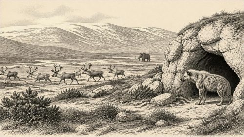
Around 31,760 BCE, Ireland was within the unstable later Marine Isotope Stage 3, approaching the Last Glacial Maximum, not a precisely datable year. Castlepook Cave above County Cork’s Awbeg Valley preserves disturbed but evidence of a cold, open mammal fauna, including reindeer, mammoth, giant deer, wolves, bears and Ireland’s only known spotted hyaenas, probably denning there. Environmental deposits elsewhere confirm fluctuating habitable conditions before expanding ice. A cut-marked reindeer bone may indicate an early human visit, but no hearths, tools or settlements prove occupation. The evidence reveals a changing ecological frontier, while precluding claims about prehistoric society, politics or population.
Read Article

Archived: 14 September 2026
Abstract
At the nominal date 31,796 BCE, Ireland lay within climatically unstable Marine Isotope Stage 3, not a precisely datable historical year. Fermanagh sediments between glacial tills record cold, treeless freshwater wetlands during ice-free intervals. Castlepook Cave in County Cork preserves a long-lived assemblage of Ice Age animals, including mammoth, reindeer, giant deer, bear, wolf and hyaena, demonstrating open-country ecosystems before and after the Last Glacial Maximum. A marked reindeer femur may indicate stone-tool butchery by visitors, but cannot prove settlement. No evidence supports detailed human history at all; environmental archives instead reveal shifting ice, habitats, fauna and uncertain human presence.
Read Article

Archived: 10 September 2026
Abstract
Around 31,842 BCE, Ireland lay in the unstable Late Pleistocene, before the Last Glacial Maximum, when expanding ice alternated with cold, open freshwater landscapes. Inter-till deposits in Fermanagh preserve evidence of grasses, sedges, tundra plants, insects and waterlogged ground. Castlepook Cave above the Awbeg Valley contains Marine Isotope Stage 3 remains of reindeer, mammoth, giant deer, hyaena, wolves and other cold-adapted fauna, demonstrating links with wider north-west Europe. A cut-marked reindeer femur may indicate brief human butchery, but disturbed cave contexts preclude certainty. No settlement, tools, hearths or cultural evidence confirms occupation. Scientific dating and environmental remains define it best.
Read Article

Archived: 9 September 2026
Abstract
The label 31,865 BCE denotes an approximate MIS 3 horizon, not an observable year. Ireland was a cold, unstable glacial landscape before the Last Glacial Maximum, with changing ice, lower seas and open habitats. Castlepook Cave near the Awbeg preserves major but imperfectly recorded fauna, including reindeer, mammoth, giant deer, predators and lemmings, showing repeated cold-stage ecological opportunities. Revised dating suggests some remains are older than first believed. A possibly cut-marked reindeer bone may indicate human handling, but insecure context precludes claims of settlement. No evidence supports polities, permanent communities, trade or culture. Later evidence cannot confirm this earlier possibility.
Read Article

Archived: 9 September 2026
Abstract
31,877 BCE is a modern approximation for a broad later Pleistocene interval, not a recoverable Irish year. Before the Last Glacial Maximum, Ireland contained regionally varied, cold, open tundra and wetlands, evidenced by Derryvree deposits in Fermanagh. Castlepook Cave Cork’s Awbeg valley preserves fauna, including reindeer, mammoth, giant deer, predators and, accumulated across different times rather than one moment. A dated reindeer femur may bear human cut marks, suggesting brief Upper Palaeolithic visitation, but disturbed contexts prevent certainty. No settlements, tools, identities or social institutions are securely known. The evidence portrays active Ice Age ecosystems and possible early human presence.
Read Article

