Membership is completely free, giving members unlimited access to all available resources, services, features, and benefits without any restrictions or fees.
Welcome back. Sign in to continue enjoying unlimited access to all available resources, services, features, and member benefits at no cost.
The nearest securely relevant environmental record is at Derryvree, near Maguiresbridge in County Fermanagh. Road works in 1969 exposed silts and fine sands trapped between two distinct sheets of till inside a drumlin. Till is sediment laid down by glacier ice. The sequence is therefore remarkable: it records a period when freshwater, plants and small animals occupied ground that had been glaciated earlier and would later again be overridden or sealed by ice. Its original radiocarbon determination, 30,500 +1,170/−1,030 radiocarbon years BP, is not itself a calendar date. Allowing for calibration and uncertainty, it belongs broadly in the middle-to-later part of MIS 3, approximately the 35,000–37,000 calibrated-years-BP range. That span overlaps the broad horizon represented by 31,626 BCE, rather than pinpointing it.
At this broad horizon, Ireland was approaching the major expansion of the last Irish Ice Sheet, but was not yet necessarily engulfed by the continuous ice cover associated with the Last Glacial Maximum. Syntheses of glacial evidence suggest that much of Ireland may have remained ice-free until about 32,000 calendar years ago, after which ice thickened and spread across the island’s uplands. That conclusion is itself a reconstruction, not a photograph of one moment. Ice growth was spatially uneven, and the evidence is better for some districts than for others. The later maximum, conventionally dated to about 27,000–23,000 calibrated years before present, would radically rework landscapes and destroy or disturb older deposits.
At this age, a calendar date is best treated as a filing device. Archaeologists normally report laboratory radiocarbon ages in BP, where “present” conventionally means AD 1950, and express their calendar equivalents as calibrated years BP or BCE. The calibration curve for the period beyond about 30,000 calendar years ago is based on several kinds of evidence—such as floating tree-ring sequences, cave mineral deposits, lake sediments and corals—not on a continuous annual record. Calibrated ranges can consequently be broad or divided into several possible intervals. A specimen dated to a particular range need not have been deposited in the same season, decade or even century as another apparently nearby find.
About 31,655 BCE, the great British–Irish Ice Sheet had not yet reached its better-documented later maximum. Research on its earlier growth increasingly indicates advance, retreat and regional variation during Marine Isotope Stage 3. That makes sweeping statements that all Ireland was continuously buried beneath ice misleading. Some ground was glaciated; elsewhere, or at other times, exposed terrain, coastal margins and river valleys may have remained available to plants and animals. The precise outline of ice at any one moment remains uncertain, especially because later ice repeatedly eroded or concealed earlier landscapes.
There was no Ireland in the political or cultural sense meant by later history. No evidence identifies chiefs, kingdoms, diplomacy, warfare, ethnic groups, religious institutions, languages, trade networks or named settlements at this date. Nor is there evidence for farming, domestic animals, pottery, metalworking, monuments or permanent villages. Those absences matter. They do not prove that every part of the island was empty at every instant, but they do mean that claims about political affairs, social hierarchy, ritual or everyday human life would exceed what the archaeology can responsibly sustain.
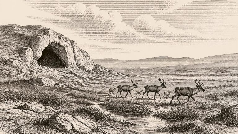
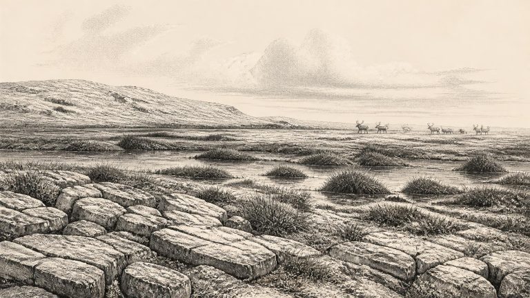
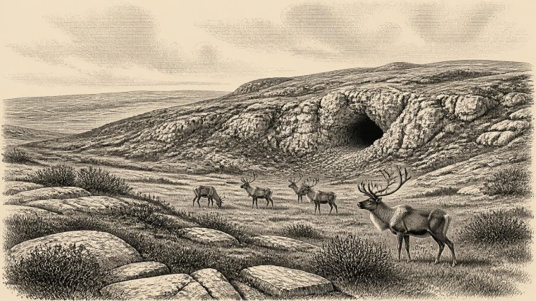
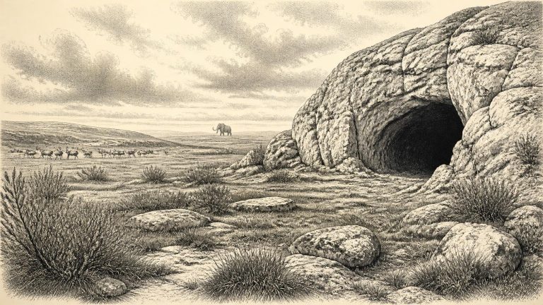
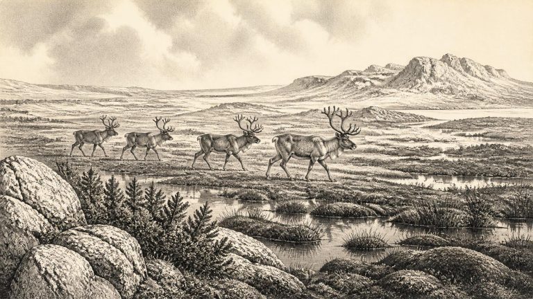
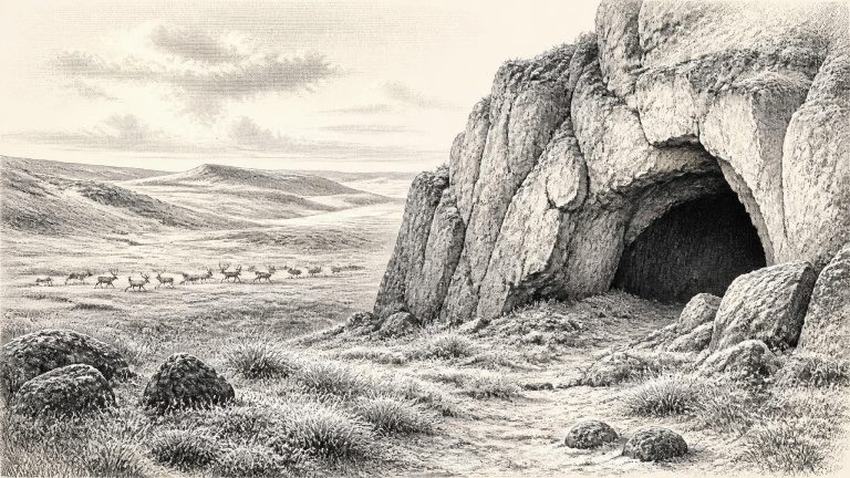
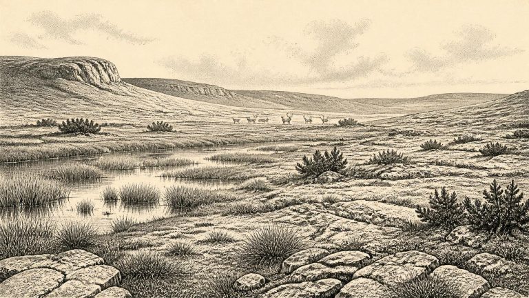
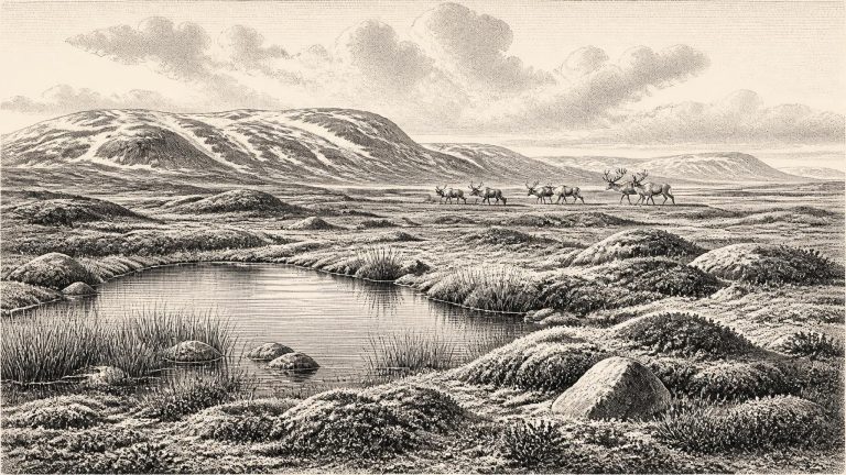
Later MIS 3 was not a single, unchanging freeze. Greenland ice-core records show repeated abrupt shifts between colder stadial conditions and relatively milder interstadials across the North Atlantic world. Ireland’s local evidence is too sparse to assign a precise Irish weather pattern to 31,701 BCE, but it is reasonable to see the country within a cold, highly variable climatic regime rather than as either permanently ice-covered or permanently temperate. Open ground, sparse vegetation, exposed soils and seasonally severe conditions formed the broad environmental setting in the periods represented by southern Irish fossil assemblages.
At this depth of time, even a radiocarbon result is not a calendar date until it has been calibrated against evidence for changing atmospheric carbon. Calibration produces ranges, sometimes broad ones, rather than the certainty suggested by a numbered BCE year. A date around 33,660 cal BP also falls very close to the beginning of Greenland Interstadial 6 in widely used North Atlantic chronologies: a comparatively milder pulse within an overall cold age. That does not mean that weather in Ireland changed everywhere on the same day, or that a Greenland ice-core signal can be read as an Irish weather report. It does, however, underline the volatility of the wider climatic setting.
Ireland was not yet at the Last Glacial Maximum, the later interval, broadly c. 26,500–19,000 years ago, when the British–Irish Ice Sheet reached its greatest overall extent. It was, however, moving through the long approach to that maximum. The growth of the last Irish Ice Sheet was uneven in time and place. Reconstructions differ in detail, but evidence from Irish deposits indicates that extensive ice cover did not simply descend upon the whole island at once. Around the notional year in question, areas of Ireland could still sustain terrestrial animal life and wetland vegetation, even as colder conditions and expanding ice were becoming increasingly consequential.
This was not yet the Last Glacial Maximum itself. The global maximum of the last glacial cycle is commonly placed at about 26,500–19,000 calendar years before present, while reconstructions of the British–Irish Ice Sheet indicate substantial growth after roughly 35,000–32,000 years ago and maximum ice extents later, broadly between 27,000 and 21,000 years ago. Those ranges are models assembled from many sites, not a timetable applying identically to every valley, coast and upland.
At about 33.7 thousand calendar years BP, Ireland lay in the Late Pleistocene and within Marine Isotope Stage 3, conventionally a span of roughly 57,000 to 29,000 years ago. This was not a single unchanging “Ice Age climate”. North Atlantic temperatures, sea ice, precipitation and glacier extent altered repeatedly across centuries and millennia. Any reconstruction of conditions in Ireland must therefore avoid picturing a uniform frozen island.
This was well before the Last Glacial Maximum, the period when the British–Irish Ice Sheet reached its greatest overall extent. A widely used chronological model places the main build-up of that ice sheet after roughly 35,000–32,000 years ago, with its maximum much later, broadly 27,000–21,000 years ago. Yet the approach to maximum glaciation was neither smooth nor simultaneous around every Irish coast and upland. Ice masses advanced and retreated, climates swung abruptly, and the extent of ice-free ground remains a research question in several regions. It is unsafe, therefore, to imagine all Ireland as either a continuous white ice cap or an unbroken habitable plain at 31,778 BCE.
MIS 3, conventionally spanning roughly 57,000 to 29,000 years ago, was not a single uniform climate. North Atlantic temperatures swung sharply between colder episodes and relatively milder interstadials. Ireland lay at the oceanward edge of north-west Europe, exposed to Atlantic weather systems and to shifts in the growth of the British–Irish Ice Sheet. The detailed reconstruction of that ice sheet is strongest from around 31,000 years ago onwards, and even then it presents alternative minimum, optimum and maximum ice limits where direct evidence is lacking. Around the notional date used here, therefore, it is safer to speak of advancing or intermittently expanded ice and of regional uncertainty than to draw a neat line between an icy north and an ice-free south.
Ireland was approaching, but had not yet reached, the most extensive phase of the last glaciation. The Last Glacial Maximum in the Irish sector came later, broadly after c. 27,000–25,000 calibrated years ago, and major ice-sheet growth and retreat were uneven in both place and time. Reconstructions of the British–Irish Ice Sheet therefore caution against imagining the whole island as a single, permanently ice-covered block in 31,793 BCE. Conditions, ice margins and habitable ground could differ sharply between regions and over periods far shorter than the archaeological resolution available to us.
Ireland was not yet at the peak of the last glaciation. The global Last Glacial Maximum came later, broadly between about 26,500 and 19,000 years ago, although the timing of maximum ice extent differed from one sector of the British–Irish Ice Sheet to another. Around 33,800 cal BP, the island lay in a long and unstable approach towards more extensive glaciation. Ice did not simply advance as a smooth, uniform blanket. Its growth, movement and retreat varied by region, while climate alternated between colder stadials and relatively milder interstadials.