
Archived: 7 October 2026
Abstract
About 32,000 years before present, Ireland was a cold, unstable Marine Isotope Stage 3 landscape, increasingly affected by the expanding British–Irish Ice Sheet. Open grassland, steppe and tundra-like habitats supported mobile large mammals, although coasts, ice margins and sea routes remained variable. Castlepook Cave in County Cork, Ireland’s richest pre-Last Glacial Maximum vertebrate archive, preserves time-mixed remains including mammoth, reindeer, giant deer, bear and hyena. Its disturbed deposits cannot prove simultaneous species or human hunting. A possibly cut-marked reindeer bone may indicate a brief human visit, but no secure settlement exists. Growing ice later reshaped terrain and obscured earlier evidence.
Read Article

Archived: 7 October 2026
Abstract
Around 30,134 BCE, Ireland was approaching the Last Glacial Maximum, although ice expansion varied regionally and no precise annual reconstruction is possible. Cave deposits, notably Castlepook near Doneraile, preserve a disturbed, long accumulated record of MIS 3 fauna, including mammoth, giant deer, reindeer, bears, wolves, foxes, hyaenas and lemmings. These remains indicate intermittent open, treeless cold habitats and connections with north-west Europe, not a uniform national fauna. Human occupation remains unproven: a possibly butchered reindeer bone suggests brief presence but lacks secure context. Growing ice fragmented habitats and obscured evidence, leaving ecological change rather than social or political history here.
Read Article

Archived: 7 October 2026
Abstract
About 30,138 BCE, Ireland experienced fluctuating Late Pleistocene conditions during Marine Isotope Stage 3, before the Last Glacial Maximum. Ice, tundra, wetlands and meltwater varied regionally; lower sea levels did not guarantee a permanent land bridge to Britain. Derryvree, County Fermanagh, preserves a radiocarbon-dated freshwater deposit indicating ice-free, treeless tundra and diverse wetland plants. Castlepook, or Mammoth Cave, near Doneraile, yielded reindeer, mammoth, giant deer and other cold-adapted fauna. A marked reindeer femur may record Ireland’s earliest human butchery, but proves neither settlement nor continuous occupation. These sites offer a tentative environmental and archaeological horizon, not a conventional historical event.
Read Article

Archived: 7 October 2026
Abstract
Around 30,139 BCE, Ireland was a climatically unstable Late Pleistocene landscape approaching extensive glaciation. Ice was advancing unevenly, while lower sea levels connected the island ecologically to wider north-west Europe. Castlepook Cave near Doneraile yielded reindeer, mammoth, giant deer, predators and cold-adapted smaller mammals, indicating open steppe-tundra habitats and complex food webs. A marked reindeer bone may indicate human butchery about 33,000 years ago, but poor excavation records and absent associated artefacts preclude claims of settlement. Any visitors were likely mobile foragers. Glaciation reshaped terrain and obscured earlier evidence, leaving uncertainty central to this period’s history and its interpretation today.
Read Article

Archived: 6 October 2026
Abstract
Around 30,186 BCE, Ireland experienced unstable Late Pleistocene conditions as ice expanded and sea levels fell. Castlepook Cave near Doneraile, County Cork, preserves major evidence: bones of mammoth, giant deer, reindeer, bear and spotted hyaena, accumulated across many millennia rather than one period. These animals indicate intermittent connections with north-west Europe and cold, open habitats, though not a single reconstructed ecosystem. Hyaena activity explains much bone damage and deposition. A marked reindeer femur may show human butchery, but remains unproven. No secure evidence exists for settlement, tools, houses, burials, farming, trade or political communities. Environmental change dominates this prehistoric horizon.
Read Article

Archived: 6 October 2026
Abstract
Around 32,000 calibrated years before present, Ireland was entering a severe glacial phase during unstable North Atlantic climatic conditions. Expanding sectors of the British–Irish Ice Sheet increasingly reshaped habitats, coastlines and landscapes, although ice advance varied regionally. Cave remains at Castlepook, County Cork, demonstrate an Ice Age fauna including reindeer, mammoth, hyaena and lemmings, indicating cold, open environments. A possibly cut-marked reindeer bone offers tentative evidence of human activity around 33,000 years ago, but cannot prove settlement, culture or continuity. Glacial erosion and later sea-level rise destroyed much evidence. Ireland’s history at this date remains indirect, fragmentary and necessarily uncertain.
Read Article
Archived: 5 October 2026
Abstract
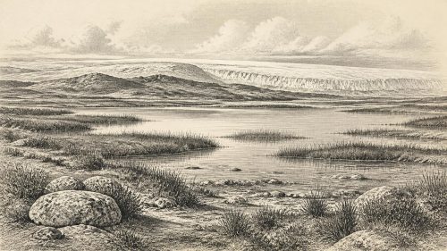
Around 30,222 BCE, Ireland was a climatically unstable Late Pleistocene landscape, not a place recoverable through annual history. Derryvree, County Fermanagh, preserves freshwater organic deposits between glacial tills, proving an ice-free wetland interval but not settlement. Reconstructions indicate shifting British–Irish ice masses, producing a mosaic of ice, open ground, wetlands and changing coasts. Castlepook Cave near Doneraile yielded cold-stage fauna including mammoth, reindeer, giant deer, bears and hyaenas, though its bones span millennia and cannot date a single community. A modified reindeer bone may indicate early human activity, but permanent occupation remains unproven. Environmental records transformation; human narratives remain inaccessible.
Read Article
Archived: 5 October 2026
Abstract
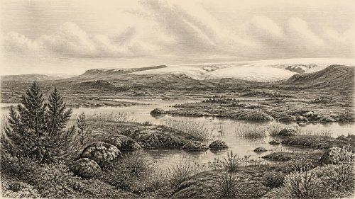
Around 30,241 BCE, Ireland experienced fluctuating Late Pleistocene conditions rather than a datable single event. Derryvree, County Fermanagh, preserves freshwater sediments between glacial tills, indicating tundra vegetation, wet ground and open water during an ice-free interval. As the British–Irish Ice Sheet expanded, regional ice conditions varied; Irish coverage came later. Southern cave assemblages record mammals including reindeer, horse, mammoth and predators, showing biologically productive open habitats before maximum glaciation. No secure evidence proves resident Palaeolithic communities. A possibly butchered reindeer bone suggests tentative human visitation, but settlement, institutions, agriculture and practices remain undocumented. Glacial advance reshaped and obscured this landscape.
Read Article
Archived: 2 October 2026
Abstract
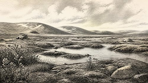
The label 30,373 BCE cannot identify an annual Irish event, but falls within Late Pleistocene Marine Isotope Stage 3. Derryvree deposits near Maguiresbridge, Fermanagh, record an ice-free interval between tills, dated broadly to about 33,500 calendar years BP, with freshwater tundra vegetation, insects and wetland conditions during this interval. Kerry speleothems indicate regional variation and flowing groundwater. Castlepook Cave, Cork, preserves mixed fauna including reindeer, mammoth and hyaena; a cut-marked reindeer femur may indicate brief Upper Palaeolithic human activity, not settlement. No political or social history is recoverable. Changing ice, drainage, coastlines and habitats made Ireland biologically productive yet precarious.
Read Article

Archived: 1 October 2026
Abstract
Around 30,396 BCE Ireland lay within the Late Pleistocene, approaching glaciation but not necessarily wholly ice-covered. Evidence from Derryvree sediments indicates cold treeless wetlands with tundra vegetation and freshwater habitats. Castlepook Cave preserves remains of a Marine Isotope Stage 3 fauna including reindeer mammoth giant deer and predators. A marked reindeer femur may record stone-tool use and intermittent human presence but requires confirmation. Cave deposits and radiocarbon dates cannot establish occupation at a specific year or prove settlement. No secure evidence exists for villages political societies or enduring Palaeolithic communities. Climatic instability and ice expansion shaped landscapes and erased evidence.
Read Article
Archived: 1 October 2026
Abstract
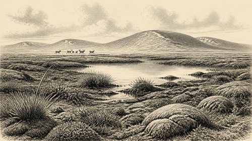
About 30,401 BCE, Ireland experienced unstable Late Pleistocene conditions during the Midlandian cold stage, not a recordable historical year. Derryvree sediments in Fermanagh document an ice-free freshwater interval between glacial advances, supporting tundra-like wetland life. Crag Cave calcite records episodic warmer phases amid severe climatic shifts. Castlepook Cave near Doneraile preserves diverse MIS 3 fauna, including reindeer, mammoth and predators, although its deposits span long periods. A cut-marked reindeer femur may indicate human handling around 33,000 years ago, but cannot prove settlement, routes or society. Lower sea levels altered geography, while later ice likely destroyed evidence of brief human visits.
Read Article
Archived: 1 October 2026
Abstract
About 30,408 BCE, Ireland has no datable historical events, only fragmentary Late Pleistocene environmental evidence. Radiocarbon and climatic records provide broad ranges rather than annual precision. At Derryvree, County Fermanagh, organic deposits between glacial tills preserve tundra-steppe vegetation, freshwater conditions and cold-adapted plants, demonstrating an interval between ice advances. Castlepook Cave, County Cork, contains animal remains accumulated over millennia, including reindeer, mammoth, giant deer and predators. A cut-marked reindeer femur may indicate human carcass processing around 31,000 BC, but cannot prove settlement or continuous occupation. Ireland was affected by advancing, regionally variable ice, with ecological opportunities narrowing amid climatic instability.
Read Article
Archived: 30 September 2026
Abstract
Around 30,444 BCE, Ireland lay in a climatically unstable pre-Last Glacial Maximum landscape, although the date itself cannot identify a specific event. Derryvree, County Fermanagh, preserves radiocarbon-dated wetland sediments indicating locally ice-free, treeless, cold conditions within broad calibrated margins. Castlepook Cave, County Cork, contains remains of reindeer, mammoth, giant deer and predators, demonstrating a diverse open-country Pleistocene fauna, but disturbed cave deposits cannot provide a single-time picture. A cut-marked reindeer femur may indicate Upper Palaeolithic butchery, yet lacks secure archaeological context. No evidence supports settlement, institutions, religion or continuous occupation. Later ice expansion probably destroyed or obscured much surviving evidence.
Read Article
Archived: 29 September 2026
Abstract
Around 30,499 BCE, Ireland’s history is reconstructed from environmental evidence rather than records or identifiable events. At Derryvree, County Fermanagh, freshwater sediments between glacial tills show an ice-free interval, dated broadly to 34,950–29,750 BCE, with wetlands, cold-adapted plants and open periglacial terrain. Castlepook Cave, County Cork, preserves remains of mammoth, reindeer, giant deer and predators, indicating links with wider north-west European fauna, though deposits span different periods. No secure evidence proves human settlement; a possibly butchered reindeer bone may suggest only a brief encounter. Lower seas and changing ice shaped movement as glaciation intensified towards the subsequent Last Glacial Maximum.
Read Article
Archived: 27 September 2026
Abstract
Thirty thousand five hundred and seventy-eight BCE is a modern approximation for a Late Pleistocene Irish landscape in Marine Isotope Stage 3, near Greenland Interstadial 5.2. Ireland experienced comparatively milder yet volatile glacial conditions, with lower seas and changing access routes. Castlepook Cave near Doneraile, Cork, preserves over 2,000 bones accumulated across millennia, including mammoth, reindeer, giant deer, bear and hyaena. These indicate open, cold habitats, but do not form a single contemporary scene. A possibly stone-tool-marked reindeer bone raises early human presence, though no securely associated settlement evidence exists. Later ice expansion erased or buried evidence, requiring cautious interpretation.
Read Article
Archived: 27 September 2026
Abstract
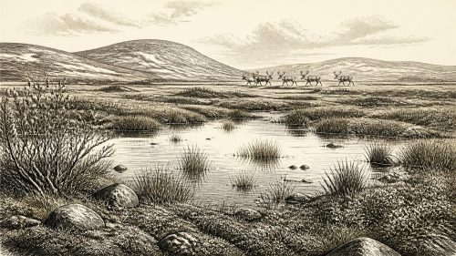
Thirty thousand six hundred and three BCE is not archaeologically identifiable as a single Irish year, but falls within a fluctuating Late Pleistocene interval. Derryvree, County Fermanagh, preserves freshwater silts beneath later ice, indicating open tundra-steppe vegetation, wetlands and seasonal cold conditions. Castlepook Cave, County Cork, contains Marine Isotope Stage 3 remains of mammoth, reindeer, giant deer, predators and other fauna, demonstrating ecological links with Ice Age Europe. A marked reindeer femur may represent early human butchery, though no associated tools or settlement exist. Ireland was neither settled nor uniformly frozen: varied habitats later suffered extensive glacial transformation, leaving evidence.
Read Article
Archived: 27 September 2026
Abstract
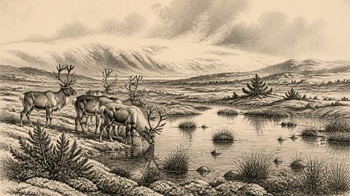
About 30,611 BCE, Ireland lay within the unstable, cold conditions of Marine Isotope Stage 3, before maximum expansion of the British–Irish Ice Sheet. Derryvree, County Fermanagh, preserves freshwater silts between tills, indicating an ice-free periglacial interval with treeless tundra wetlands, pools, sedges, mosses, herbs and insects. Castlepook Cave, County Cork, produced reindeer, mammoth and hyaena remains, reflecting open grazing country. A cut-marked reindeer femur may indicate Upper Palaeolithic butchery, but cannot prove settlement or continuous occupation. No securely contemporary human sites exist; Ireland’s evidence chiefly records changing climate, habitats, fauna and returning ice across chronological ranges rather than exact dates.
Read Article

Archived: 25 September 2026
Abstract
30,673 BCE is a retrospective label, not a recoverable Irish year, within fluctuating Marine Isotope Stage 3. Ireland’s low sea levels, shifting ice margins and open terrain connected it ecologically to north-western Europe, though no proven human route existed. Derryvree, County Fermanagh, preserves freshwater silts between glacial tills, indicating tundra vegetation, wetlands and severe periglacial conditions. Castlepook Cave, County Cork, contains cold-stage fauna accumulated over periods rather than simultaneously. A cut-marked reindeer femur may indicate human butchery around 31,000 BCE, but lacks associated occupation evidence. The period therefore reveals an intermittently habitable, ice-shaped landscape and unresolved possibility of human visits.
Read Article
Archived: 24 September 2026
Abstract
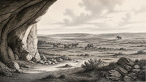
Around 30,753 BCE, Ireland experienced fluctuating MIS 3 Ice-Age conditions, not a precisely datable historical year. Lower sea levels intermittently facilitated animal movement from Britain and Europe, although routes remain uncertain. Castlepook Cave near Doneraile preserves Ireland’s richest Pleistocene fauna, including mammoth, giant deer, reindeer, bears, wolves, Arctic foxes, lemmings and spotted hyaenas. Its disturbed, long-lived deposits represent changing cold open landscapes rather than a single community. Revised radiocarbon dates confirm mammals in southern Ireland before and around glacial maximum conditions. A marked reindeer femur may indicate early butchery, but cannot prove settlement, permanent population or wider human activity there.
Read Article

Archived: 24 September 2026
Abstract
Around 30,760 BCE, Ireland lay within the fluctuating cold conditions of Marine Isotope Stage 3, with tundra-like wetlands, open grasslands and changing ice margins. Evidence from Derryvree and Castlepook Cave shows that reindeer, mammoths, giant deer, hyaenas and other cold-adapted animals inhabited parts of the island. Castlepook’s mixed bone deposits reflect animal deaths, scavenging and denning, not a proven settlement. A reindeer femur, possibly cut by a stone tool, suggests brief Upper Palaeolithic human visits or carcass processing near Doneraile. However, no securely associated tools, hearths, dwellings or burials confirm occupation. Subsequent glaciation erased or buried much earlier evidence there.
Read Article
Archived: 24 September 2026
Abstract
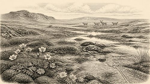
Thirty thousand seven hundred and seventy BCE is a modern label for an imprecisely dated MIS 3 interval, not a recoverable Irish year. Derryvree, County Fermanagh, preserves freshwater sediments between tills, showing locally ice-free, cold, treeless wetland before renewed glaciation. Castlepook Cave, County Cork, contains mammoth, giant deer, reindeer and predators, evidencing a varied cold-stage fauna but not a single contemporaneous landscape. A reindeer femur, possibly cut by a stone tool, may indicate brief Upper Palaeolithic human activity. However, no associated tools, hearths or settlements exist. Later ice erosion obscured evidence, leaving human presence and continuity of occupation still unproven.
Read Article
Archived: 24 September 2026
Abstract
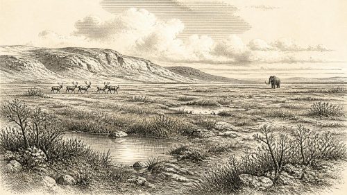
Around 30,781 BCE, Ireland lay within the climatically unstable Marine Isotope Stage 3, before maximum glaciation. Castlepook Cave near Doneraile preserves evidence of recurring animal presence, including reindeer, mammoth, giant deer, bears, wolves, Arctic foxes, lemmings and hyaenas, indicating open, cold habitats with varied food webs. Its mixed, disturbed deposits cannot represent a single moment. Derryvree, County Fermanagh, preserves freshwater sediments and tundra vegetation from a milder interval. A marked reindeer bone from Castlepook may suggest early human butchery, but remains unconfirmed and demonstrates neither settlement nor society. Later ice erosion explains the scarcity of securely dated Irish Palaeolithic evidence.
Read Article
Archived: 23 September 2026
Abstract
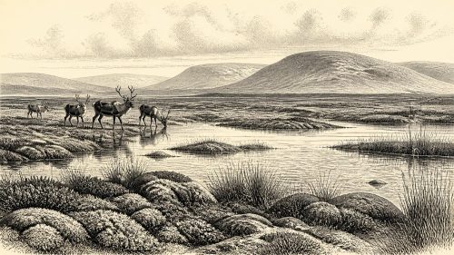
Although 30,790 BCE cannot be dated precisely in Ireland, evidence from Marine Isotope Stage 3 reveals a variable, cold Pleistocene environment. Organic deposits at Derryvree, County Fermanagh, indicate locally ice-free freshwater wetlands with tundra vegetation before later glaciation. Castlepook Cave near Doneraile preserves reindeer, mammoth and predator remains, demonstrating habitats capable of supporting a diverse cold-adapted fauna, though accumulated bones do not represent one moment. A marked reindeer femur may record stone-tool butchery and brief human visitation, but sustained settlement remains unproven. No evidence exists for communities, trade, farming or political organisation. Later ice sheets obscured much early evidence irretrievably.
Read Article
Archived: 23 September 2026
Abstract
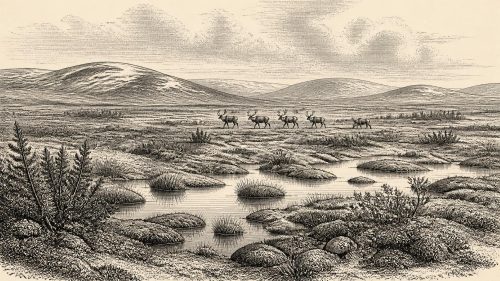
Around 30,800 BCE, Ireland was in the Late Pleistocene, before the Last Glacial Maximum, not a date associated with recoverable events or settled society. Derryvree, County Fermanagh, preserves evidence of treeless tundra wetland, with freshwater plants, insects and seasonal periglacial conditions. Castlepook Cave, County Cork, produced bones of mammoth, reindeer, giant deer and other cold-adapted fauna, although these accumulated over extended periods. A roughly 33,000-year-old reindeer femur may bear stone-tool cut marks, suggesting brief human carcass processing. However, it cannot prove permanent occupation. Later glaciation damaged earlier archives, leaving environmental evidence stronger than social history and human presence unresolved overall.
Read Article

Archived: 23 September 2026
Abstract
30,827 BCE is a label, not an identifiable Irish event. During Marine Isotope Stage 3, Ireland contained variable ice, permafrost and open tundra wetlands. Derryvree, County Fermanagh, preserves freshwater sediments dated broadly to 36,900–31,700 years before present, indicating cold, treeless, harsh conditions before later glaciation. Castlepook Cave, County Cork, contains Late Pleistocene fauna, including reindeer. A reindeer femur, roughly 33,000 years old, bears a possible stone-tool butchery mark, suggesting a brief human visit. However, no associated tools, hearths, settlements or burials prove occupation. Changing coasts and ice complicated access, while later ice destroyed evidence. Ireland remained a volatile European frontier.
Read Article
Archived: 22 September 2026
Abstract
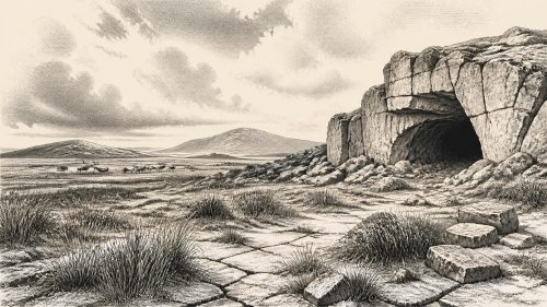
Thirty thousand years before Irish societies, Ireland formed part of a cold Pleistocene landscape during Marine Isotope Stage 3, before the Last Glacial Maximum. Open tundra or steppe supported reindeer, mammoth, giant deer, bears, wolves, hyaenas and other fauna, documented at Castlepook Cave near Doneraile. Cave deposits and radiocarbon dates demonstrate animal presence, although disturbed collections limit precision. A reindeer bone, possibly bearing a stone-tool cut mark, suggests a human incursion around 31,000 BCE, but cannot prove settlement or continuity. No tools, hearths or structures survive. Thus evidence records environmental change and transient hunters, not a dated event or society.
Read Article

Archived: 22 September 2026
Abstract
At 30,852 BCE, a modern label rather than a recoverable event, Ireland lay in the climatically unstable later Marine Isotope Stage 3 as the British-Irish Ice Sheet expanded. Open, treeless, locally wet habitats supported cold-adapted fauna, including reindeer, mammoth, giant deer, predators and smaller mammals. Derryvree sediments illuminate periglacial environments, while Castlepook Cave near Doneraile preserves important but disturbed animal remains. A roughly 33,000-year-old reindeer femur bearing a possible stone-tool cut mark may indicate brief Upper Palaeolithic butchery. It cannot establish settlement, occupation or culture. Evidence instead depicts a changing island, with uncertain access routes, preservation and no year-specific history.
Read Article
Archived: 22 September 2026
Abstract
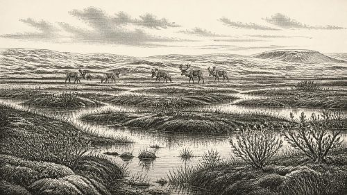
Around 30,869 BCE, Ireland was in the later Marine Isotope Stage 3, a period reconstructed through geological and palaeontological evidence rather than annual history. Derryvree, County Fermanagh, preserves freshwater sediments between glacial tills, indicating an ice-free, treeless, cold wetland with tundra vegetation. Castlepook Cave, County Cork, yielded cold-stage fauna, including mammoth, reindeer, giant deer and predators, though remains accumulated over time. An incised reindeer femur may record human butchery, suggesting possible transient Upper Palaeolithic visitors. However, no settlement, tools, hearths or social institutions are evidenced. Later glaciation transformed landscapes and erased most traces, requiring cautious interpretation of deep Irish prehistory.
Read Article
Archived: 22 September 2026
Abstract
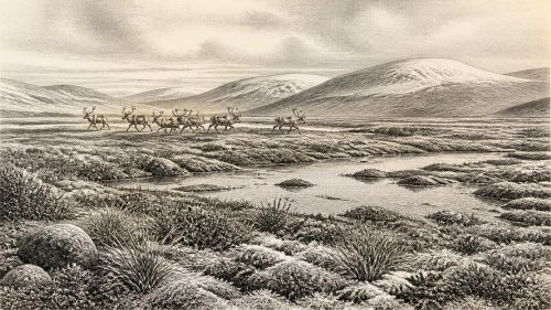
Around 30,881 BCE, Ireland experienced unstable Late Pleistocene conditions during Marine Isotope Stage 3, before the Last Glacial Maximum. Derryvree, County Fermanagh, preserves freshwater organic deposits between tills, indicating an ice-free, tundra-like wetland with sedges, mosses, insects and sparse vegetation during an interval of glacial advance and retreat. Castlepook Cave, County Cork, contains remains of mammoth, reindeer, giant deer and carnivores, documenting recurring cold-stage fauna rather than one event. A marked reindeer femur may indicate stone-tool butchery and fleeting human activity, but lacks contextual evidence. No settlement, polity or society is demonstrable; later ice expansion transformed and obscured earlier landscapes.
Read Article
Archived: 22 September 2026
Abstract
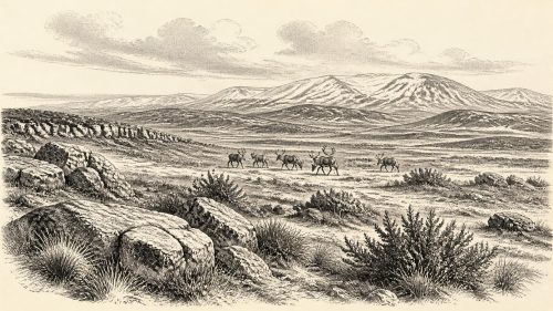
Around 32,800 calibrated years before 1950, Ireland experienced cold, unstable MIS 3 conditions, with open vegetation, lower seas and changing ice margins. Cave deposits, particularly Castlepook Cave, preserve evidence of reindeer, mammoth, giant deer, predators and other fauna, although disturbed deposits limit reconstruction. A reindeer femur, about 33,000 years old, bears a possible stone-tool cutmark, suggesting but not proving Upper Palaeolithic human activity. No associated settlement, artefacts or evidence of permanent population survives. Later butchered bear remains confirm human visitation around 12,800 cal BP. Expanding ice subsequently erased many traces, leaving cautious interpretation dependent on bones, sediments, dating and research.
Read Article

