BIRM-166’s Buried Ecosystem31153 BCE
Although 31,153 BCE cannot be identified as a recoverable Irish historical year, it falls within the broad calibrated range of Derryvree’s BIRM-166 freshwater deposits in County Fermanagh. Sediments sealed between glacial tills record a cold, non-glacial MIS 3 interval, with tundra-like wetlands containing mosses, sedges, aquatic plants and northern insects. Ireland’s conditions varied greatly as ice advanced and retreated. Castlepook Cave in Cork preserves remains of mammoth, reindeer, giant deer, predators and other continental fauna, indicating intermittent connections across lowered seas. A possibly cut reindeer bone suggests transient human presence, but no secure settlement, artefacts or social history is known.
Dateline
“31,153 BCE” is a useful modern label, but it is not a year that can be recovered from Ireland’s archaeological record. No written calendar, named community, political event or securely dated occupation can be assigned to this particular twelve-month span. At this depth in time, even radiocarbon determinations carry substantial uncertainty and must be calibrated into ranges rather than converted into apparent historical anniversaries. The responsible subject is therefore Ireland during the later part of Marine Isotope Stage 3 (MIS 3), within the Midlandian cold stage of the Late Pleistocene.
The strongest Irish evidence relevant to this date is environmental, not biographical or political. It comes from Derryvree townland near Maguiresbridge in County Fermanagh, where roadworks in 1969 exposed organic freshwater sediments caught between two thick layers of glacial till within a drumlin. The organic horizon received the laboratory designation BIRM-166. A conventional radiocarbon measurement of 30,500 +1,170/−1,030 years BP was obtained from it. Under modern calibration, that result belongs broadly within a very wide interval of roughly 36,900–31,700 calibrated years BP, or approximately 34,950–29,750 BCE. The requested date falls inside that range, but cannot be located in a particular season, sediment layer or episode of life.
A Landscape Between Glaciers
Derryvree’s sequence gives a clear relative order of events. A glacier first deposited the lower till: unsorted clay, stones and debris pressed down beneath moving ice. In an ensuing ice-free interval, water, fine sand, silt and organic remains accumulated in a freshwater setting. A later glacial advance then laid down the upper till and sealed the earlier wetland. This does not mean that the whole of Ireland was ice-free at one moment, or that the country experienced a single simple freeze and thaw. It does show that this part of Fermanagh had passed through a cold but non-glacial phase before renewed ice reached it.
That distinction matters. Ireland around this broad period should not be imagined as either a uniformly white ice sheet or a familiar green island. The evidence instead indicates a geographically variable and changing world: ice in some regions and phases; frost-affected, open terrain in others; freshwater pools and marshy ground where local conditions allowed. The wider British–Irish Ice Sheet was developing through the closing millennia of MIS 3. Its greatest Late Pleistocene extent came later, principally after about 27,000 calibrated years BP, though the timing, thickness and margins of ice differed across the archipelago and surrounding seas. Derryvree is valuable precisely because it preserves an interval that later ice might otherwise have erased.
Climate in the North Atlantic during MIS 3 was notably unstable on long, humanly unknowable timescales. Ice-core and marine records show repeated abrupt warmings and coolings, while the strength of Atlantic circulation, sea ice and the behaviour of continental ice masses changed together. It would be unwarranted to attach a particular one of these continental-scale oscillations to 31,153 BCE in Fermanagh. Yet that instability provides the proper setting for the alternation seen at Derryvree: an environment sufficiently cold for tundra vegetation and severe seasonal frost, but not continuously buried beneath glacier ice.
Freshwater Tundra at Derryvree
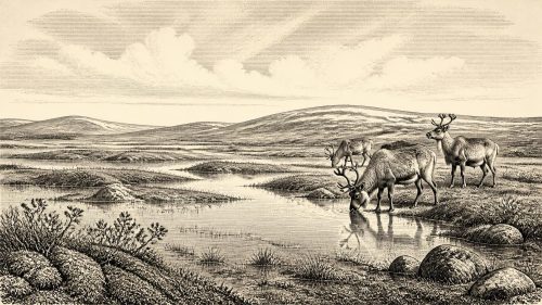
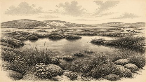
The buried sediments retain evidence of a cold freshwater ecosystem. Mosses, sedges and aquatic plants were identified alongside insect remains of northern, cold-climate character. The flora included bogbean, water-milfoil and dwarf willow, plants that point to wet ground and standing or slow-moving freshwater rather than dry, bare gravel alone. Alpine and arctic-alpine elements in the assemblage reinforce the impression of a short growing season and a largely treeless landscape. There is no basis for pictures of oak woods, hazel groves or cultivated clearings. Those belong to vastly later chapters of Irish environmental history.
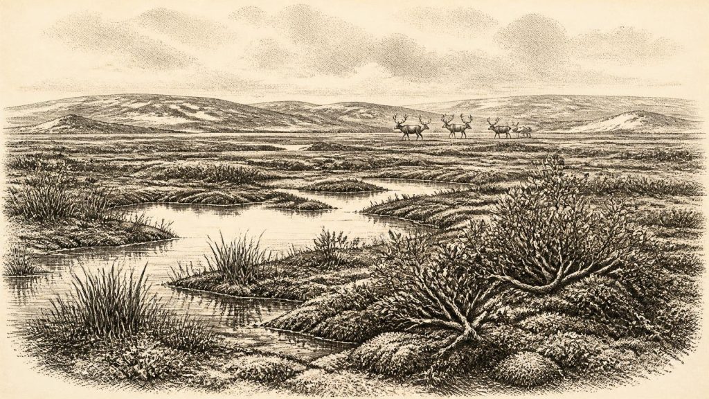
The best interpretation is of a tundra-like wetland mosaic: shallow pools, silty margins, moss-rich ground, sedge beds and low shrubs, set amid more exposed frost-shattered terrain. “Tundra” is a useful ecological comparison, not a claim that every square kilometre matched a modern Arctic landscape. The fossils record what survived at one waterlogged locality, and such preservation naturally favours aquatic and wetland organisms. Nevertheless, they make the most important point securely: even in a severe cold phase, parts of Ireland could sustain productive freshwater habitats.
These deposits also illuminate environment more clearly than they reveal settlement. A plant seed or beetle fragment can demonstrate local conditions with remarkable specificity, but it cannot tell us who, if anyone, watched the pools, travelled past them, or returned in a later year. The people of later prehistoric Ireland left houses, monuments, tools and burials from which social arrangements can sometimes be inferred. Nothing comparable is known from Derryvree at this age. The archaeological silence is itself significant, particularly because later glaciers repeatedly reshaped the ground and because acidic soils and exposed landscapes preserve very little organic evidence.
Animals and a Continental Connection
Southern Ireland provides a different, though equally qualified, window on the period. Castlepook Cave near Doneraile in County Cork has yielded Ireland’s richest known assemblage of vertebrate remains from the time leading towards the Last Glacial Maximum. Its collections include woolly mammoth, reindeer, giant deer, brown bear and spotted hyaena, as well as wolf, Arctic fox and lemmings. These animals were not necessarily all present at the cave together, nor do the cave deposits constitute an undisturbed census of a single landscape. Bones accumulated over a long period, some were transported or disturbed by water, and carnivores themselves helped bring carcass parts into the cave.
Even so, the fauna establishes an essential fact: Ireland was intermittently connected to wider north-west European animal worlds. At times, routes across the then-lowered seas and changing coastal shelves allowed cold-adapted mammals to reach the island. A reindeer herd, mammoth, hyaena or wolf was not an emblem of an exclusively Irish ecosystem; it was part of a shifting continental fauna whose range expanded and contracted with climate, vegetation, sea level and ice. The sparse Irish record should caution against treating absence from a site as proof that a species was absent from the island. Equally, it does not permit every familiar Ice Age animal to be placed confidently in Fermanagh in this particular year.
Castlepook also demonstrates why old discoveries need continual re-examination. Modern radiocarbon pretreatment has shown that several earlier Irish cave dates were unreliable or too young. Re-dating has pushed some Castlepook fauna further back into MIS 3 and suggests that giant deer and spotted hyaena may have disappeared locally before the Last Glacial Maximum. The cave’s scientific value lies not merely in its dramatic animal names but in its warning against easy certainty: collections excavated in the early twentieth century, and deposits disturbed by natural processes, require testing against improved methods.
The Unsettled Human Question
A reindeer femur from Castlepook has attracted particular attention because an incision on the bone has been interpreted as a possible cut made by a sharp stone tool during carcass processing. If that interpretation and its association are sustained, it may represent evidence for a brief human visit to Ireland during MIS 3, far earlier than the better-established post-glacial settlement record. It would imply neither a permanent colony nor a named “first Irish person”, but a highly mobile group capable of reaching and exploiting a difficult northern landscape.
For 31,153 BCE, however, the careful conclusion remains more limited. No secure camp, hearth, tool assemblage, dwelling, grave or repeated occupation surface is known from Ireland for this precise period. Recent archaeological work at Castlepook located surviving sediments but did not identify cultural artefacts. The marked bone is important, but a single debated object cannot supply a detailed social history. There is no evidential basis for Irish political affairs, diplomacy, warfare, kinship systems, religious ceremonies, language, art or formal learning at this date. Such subjects are not missing chapters waiting to be filled by imagination; they are presently beyond the reach of the evidence.
Economy Without States
Nor can an economy or trade network be reconstructed in the usual sense. There were no known farms, fields, livestock, mines, markets, ports or metalworking communities in Ireland. If people did enter the island during a favourable interval, their subsistence would have depended on mobility and immediate knowledge of terrain, weather, water and animal behaviour. The possible processing of a reindeer carcass would fit an opportunistic hunting-and-scavenging economy, but that remains an inference rather than a demonstrated system. It should not be inflated into evidence for a settled Palaeolithic population.
The real economic engine visible in the evidence was ecological productivity. Wetlands supplied plant growth and insect life; open ground and seasonal vegetation supported herbivores; predators and scavengers followed those animals; ice and meltwater repeatedly altered access to land and water. In this sense, the chief regional change was not the rise or fall of a polity but the instability of habitable terrain itself. A place capable of holding freshwater plants and animals could later be overridden by ice, its living surface entombed beneath till.
Ireland at this notional date was therefore a landscape of possibility, not certainty. BIRM-166 preserves the memory of cold water, mosses, sedges and northern insects in Fermanagh. Castlepook preserves evidence that large mammals—and perhaps transient people—could reach parts of the island during the wider MIS 3 world. Together, they replace an invented annual chronicle with something more compelling: a fragmentary but real history of ecosystems enduring between advances of ice.
Primary Sources
- A Middle Midlandian Freshwater Series at Derryvree, Maguiresbridge, County Fermanagh, Northern Ireland
- Early Midlandian–Middle Midlandian, Pleistocene, Northern Ireland
- The Geology of Northern Ireland: Our Natural Foundation
- Irish Pleistocene Biostratigraphy
- A Reconsideration of the Radiocarbon Dating of the Marine Isotope Stage 3 Fauna from Southern Ireland
- Castlepook Cave: County Geological Site Report
- 2022:564 – Castlepook Cave, Castlepook South, Cork
- Growth and Retreat of the Last British–Irish Ice Sheet, 31,000 to 15,000 Years Ago: The BRITICE-CHRONO Reconstruction
- BRITICE-CHRONO Maps and GIS Data of the Last British-Irish Ice Sheet 31 to 15 ka
- BRITICE Glacial Mapping Project
- The Irish Quaternary Fauna Project
- Pleistocene Vertebrates in the British Isles
- New Insights on the Fauna of Ireland’s Younger Dryas and Early Holocene from Alice & Gwendoline Cave
- The IntCal20 Northern Hemisphere Radiocarbon Age Calibration Curve (0–55 cal kBP)
- IntCal Publications
- Dansgaard–Oeschger Events in Climate Models: Review and Baseline Marine Isotope Stage 3 Protocol
- The Atlantic Meridional Overturning Circulation and Abrupt Climate Change
- Marine Isotope Stage 3 Sea Level Fluctuations: Data Synthesis and New Outlook
- Mammoth Cave (Castlepook Cave)
- Areas of Scientific Interest in County Cork: Castlepook Caves