Castlepook’s Reindeer Problem31174 BCE
Around 33,000 calendar years before present, Ireland experienced fluctuating Late Pleistocene conditions rather than a single identifiable historical year. Derryvree in Fermanagh preserves freshwater sediments between glacial deposits, indicating cold, treeless wetlands during an ice-free interval. Crag Cave suggests occasional milder episodes. As the British–Irish Ice Sheet expanded, habitats changed and evidence was frequently destroyed. Castlepook Cave in Cork yielded remains of mammoth, reindeer, giant deer, predators and cold-adapted species. A marked reindeer bone may indicate human carcass processing, but cannot prove settlement. The period reveals a dynamic landscape, possibly visited briefly by mobile people, not an established Irish society.
Dateline
31,174 BCE is a modern calendar label, not a date that can be matched to a recorded Irish event, individual or season. At this depth of time, archaeology works in broad probability ranges rather than annual history. In calendar arithmetic the label falls about 33,123 years before AD 1950, the conventional radiocarbon reference point: roughly 33.1 thousand calendar years before present (cal BP). It belongs to the Late Pleistocene, within Marine Isotope Stage 3, when climate across north-west Europe repeatedly shifted between severe cold and comparatively milder intervals. No Irish evidence can responsibly identify what happened in this particular year.
The most useful approach is therefore to ask what the surviving evidence can illuminate about Ireland around this broad horizon. It reveals neither a nation nor a settled society, but a changing northern landscape in which ice, open vegetation, wetlands and large mammals all mattered. It also presents a tantalising, unresolved question about whether people briefly entered Ireland long before its securely documented post-glacial settlement.
A Date with Wide Margins
The distinction between radiocarbon years and calendar years is essential. Atmospheric carbon-14 has varied through time, so a laboratory result must be calibrated against independently dated records. Even with the IntCal20 calibration curve, which extends to 55,000 cal BP, uncertainty at about 33,000 years ago is substantial. A nominal year such as 31,174 BCE cannot be converted into a meaningful day, decade or biography.
Irish deposits of this age are especially difficult because later glaciers eroded, reworked or buried earlier landscapes. The closest major environmental anchor is Derryvree near Maguiresbridge in County Fermanagh. Road works in 1969 cut through a drumlin and exposed freshwater silts and fine sands between two thick sheets of till, sediment laid down directly by glacier ice. This sequence establishes an important order: an earlier ice advance; an interval when ice was absent from that locality and a wetland or shallow pool accumulated sediment; then a later advance that sealed the deposits beneath fresh till.
Organic material from the Derryvree bed gave a conventional radiocarbon age of 30,500 years BP, with a large uncertainty of +1,170 and −1,030 years. Calibration places the deposit within a wide late-Pleistocene span, rather than at a pinpoint date. The calendar label in question falls plausibly within that broad window, but it cannot be attached to an individual plant, animal or moment in the Derryvree basin. The value of the site lies in its environmental testimony, not a year-by-year chronicle.
Fermanagh’s Treeless Wetlands
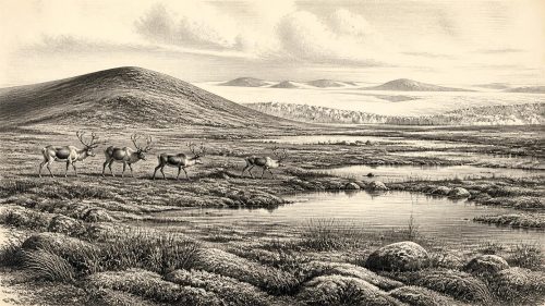
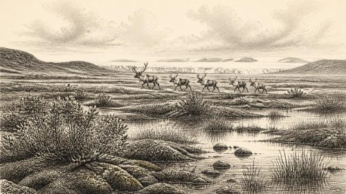
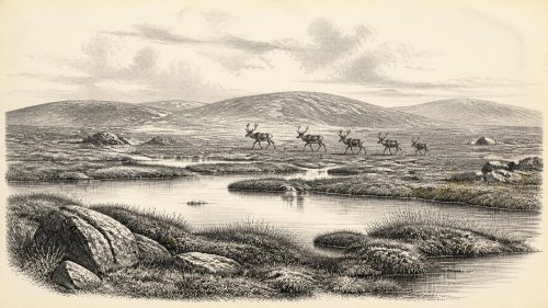
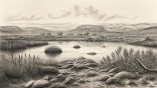
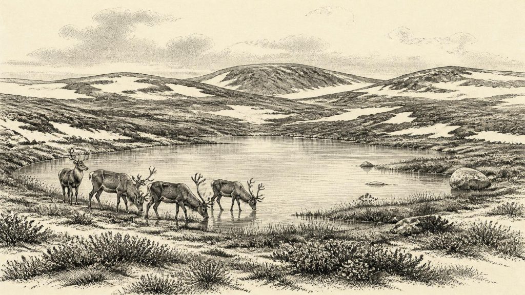
The Derryvree fossils describe a cold, open and wet environment. Freshwater mosses, sedges and aquatic plants occurred around standing or slow-moving water. Insect remains, including beetles associated with northern climates, reinforce the picture of periglacial conditions: ground subject to freezing and thawing, short growing seasons and little or no woodland. Mountain-avens, dwarf willow, clubmoss and other cold-tolerant vegetation recorded in comparable Irish inter-till deposits indicate a patchwork of tundra-like ground, sedgy mire, damp hollows and sparse shrub cover rather than the familiar green, wooded Ireland of later millennia.
This does not mean every part of the island looked identical. Ireland’s uplands, lowlands, coasts and sheltered limestone districts responded differently to climate and to the shifting margins of ice. The absence of an ice sheet at Derryvree while its freshwater bed formed does not prove that all Ireland was ice-free. Nor does a single site allow annual temperatures to be calculated for the whole island. It does demonstrate that, during part of the Middle Midlandian cold stage, north-western Ireland contained exposed ground capable of supporting freshwater ecosystems.
Evidence from Crag Cave in County Kerry adds a longer perspective. Episodes of speleothem growth in the cave show that liquid water was at times able to circulate through the shallow karst system during the last glacial period. Such growth is consistent with intervals in which mean annual conditions locally rose above freezing. It reinforces the central point: this was not a uniform, unbroken deep-freeze. Abrupt climatic oscillations shaped the opportunities available to plants, animals and any human visitors.
Ice Was Building, Not Yet at Its Maximum
At roughly 33,000 cal BP, the British–Irish Ice Sheet was in a phase of expansion, not at its later maximum. The latest large-scale reconstruction identifies steady ice-sheet growth between 31,000 and 26,000 years ago, followed by maximum volume around 23,000 years ago. Those figures are modelled at thousand-year resolution and should not be treated as a precise map for 31,174 BCE. They nevertheless provide the appropriate setting: Ireland was entering a long deterioration towards more extensive glaciation.
That distinction matters. Ireland was neither the wholly ice-smothered island often imagined for the Ice Age nor a stable open plain. Ice centres, mountain glaciers, frozen ground, rivers swollen by seasonal melt and exposed lowlands all changed through time. The later ice sheet would scour much of the evidence away, which helps explain why the record for this period is fragmentary. What survives is disproportionately found in caves, beneath tills, or in sediments sealed from erosion.
The Castlepook Evidence
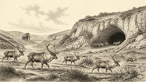
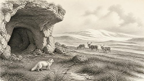
Castlepook Cave, also known as Mammoth Cave, near Doneraile in north County Cork is the crucial southern Irish site. Excavations in the early twentieth century recovered a remarkable assemblage from its limestone passages: woolly mammoth, reindeer, giant deer, brown bear, wolf, foxes, mountain hare, lemmings and spotted hyaena. The National Museum of Ireland regards Castlepook as the country’s most important site for mammal remains from the last cold stage. Direct dates and re-dating programmes show that the collection represents a long span of time, not one simultaneous animal community.
The fauna supports an image of periodically open country capable of sustaining grazing and browsing herbivores, as well as predators and scavengers. Reindeer are especially appropriate to cold, exposed habitats; lemmings and Arctic fox point in the same direction. Mammoth and giant deer were present in Ireland during parts of the Late Pleistocene, although individual bones cannot be assumed to be contemporary merely because they came from the same cave. Cave deposits may be assembled by carnivores, water movement, animals dying in fissures, sediment collapse and excavation practices that did not preserve the contextual detail expected today.
A reindeer femur from Castlepook has made this period unusually important. It has been publicised as dating to about 33,000 years ago and bears a surface mark interpreted as a possible stone-tool cut from carcass processing. If that interpretation is confirmed, it would be evidence for a person or small group handling a reindeer in Ireland roughly within the broad period represented by 31,174 BCE. It would not establish a village, a permanent population, an ethnic identity or a named Upper Palaeolithic culture.
Caution is not a dismissal of the find. The bone is genuinely significant precisely because it is testable. Yet it derives from an old collection rather than a securely excavated occupation floor, and no directly associated hearth, stone-tool scatter, dwelling, human bone or clearly defined butchery place of comparable age has been recovered. Current Castlepook investigations are seeking stratified deposits and additional evidence. Until such evidence is published and independently assessed, the responsible conclusion is that the femur is a compelling indication of possible human activity, not proof of enduring settlement.
People Beyond the Evidence
There can be no political history for Ireland at this date. No rulers, territories, diplomatic relationships, laws or conflicts are known. There is likewise no evidence for farming, pottery, metalwork, monuments, boats, exchange networks or religious practice in Ireland around 33,000 cal BP. It would be misleading to fill those silences with generalisations from later Irish prehistory.
If people did reach Castlepook’s landscape, comparative Upper Palaeolithic evidence from north-west Europe suggests highly mobile hunter-gatherers able to exploit seasonal animal resources and to use stone tools, hides, bone and fire. That is an interpretation drawn from other regions, not an excavated Irish camp. The Castlepook mark alone cannot tell us whether a reindeer was hunted, scavenged, butchered elsewhere and carried to the cave, or encountered by one person rather than a group. It cannot identify language, belief, kinship, artistry or the duration of a visit.
Travel routes are similarly uncertain. Lower global sea levels altered the seas around Ireland, but local relative sea level was affected by changing ice loads and land movement. Animal dispersal demonstrates that Ireland was not ecologically isolated throughout the Late Pleistocene; it does not by itself prove a particular land bridge or human route at this date. Any human presence would have existed at the far north-western edge of wider European population movements and would have been vulnerable to the worsening climate and the advance of ice.
An Environmental, Not National, Past
The most substantial history available for around 31,174 BCE is environmental. Fermanagh preserves evidence of cold freshwater wetlands between glacial episodes. Cork caves preserve a varied cold-stage fauna and an intriguing, still unconfirmed case for human butchery. Across Ireland, the approaching growth of the British–Irish Ice Sheet was remaking habitats and ultimately erasing many of their traces.
That is enough to make this remote date historically meaningful. It locates Ireland within the dynamic late-Pleistocene world of tundra vegetation, migrating mammals, carnivore dens, cave sediments and rapidly changing ice margins. But it also sets firm limits. Around this point in time there is no evidence for an Irish people, polity or continuous settlement. There is instead a landscape intermittently habitable for animals, and perhaps briefly visited by humans, whose faintest surviving traces remain open to investigation.
Primary Sources
- A Middle Midlandian Freshwater Series at Derryvree, Maguiresbridge, County Fermanagh, Northern Ireland
- Early Midlandian–Middle Midlandian, Pleistocene, Northern Ireland
- Middle Midlandian Interstadial Deposits at Greenagho, Near Belcoo, County Fermanagh, Northern Ireland
- Freshwater Organic Deposits and Stratified Sediments Between Early and Late Midlandian (Devensian) Till Sheets, at Aghnadarragh, County Antrim, Northern Ireland
- Figure 6.— The Subdivision of the Quaternary Period in Ireland
- The Irish Quaternary Fauna Project
- Dimensions and Chronology of the Last Ice Sheet in Western Ireland
- Growth and Retreat of the Last British–Irish Ice Sheet, 31,000 to 15,000 Years Ago: the BRITICE-CHRONO Reconstruction
- Growth and Retreat of the Last British–Irish Ice Sheet, 31,000 to 15,000 Years Ago: the BRITICE-CHRONO Reconstruction
- Episodic Speleothem Deposition Tracks the Terrestrial Impact of Millennial-Scale Last Glacial Climate Variability in SW Ireland
- The IntCal20 Northern Hemisphere Radiocarbon Age Calibration Curve (0–55 cal kBP)
- The Greenland Ice Core Chronology 2005, 15–42 ka. Part 1: Constructing the Time Scale
- Spotted Hyena Skull
- Heritage Artefacts of County Cork
- Archaeological Heritage of County Cork
- Archaeology Research Excavation Grant Report: Castlepook Cave Project
- Castlepook, Cork 2022:0032564
- The Problem of a Late Quaternary Landbridge Between Britain and Ireland
- Ireland: Submerged Prehistoric Sites and Landscapes
- New Insights on the Fauna of Ireland’s Younger Dryas and Early Holocene from Alice & Gwendoline Cave
- Pleistocene Vertebrates in the British Isles
- Radiocarbon Dating, Vol. 16, No. 1
- Ireland’s Palaeolithic Archaeology – Fleeting Footprints in a Frozen Land