Derryvree’s Clubmoss Wetland30756 BCE
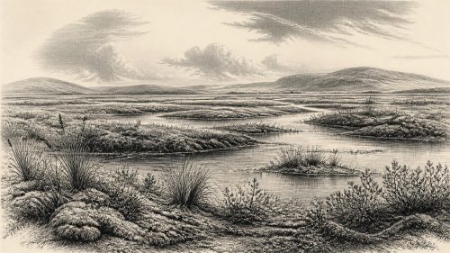
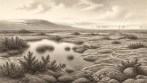
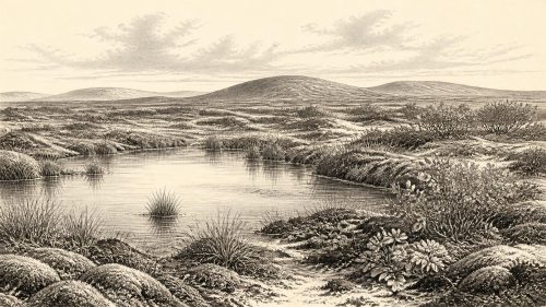
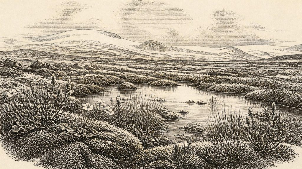
Derryvree, near Maguiresbridge, County Fermanagh, preserves freshwater and organic deposits between glacial tills, documenting an ice-free or ice-marginal interval during Marine Isotope Stage 3. Radiocarbon evidence broadly dates the wetland to 36,900–31,700 calendar years BP, so 30,756 BCE cannot be treated as a precise event. Macrofossils, mosses and insects indicate shallow water, sedges, clubmosses and treeless tundra under severe periglacial conditions. Later ice buried and reshaped the landscape. Castlepook Cave’s mammoth-steppe fauna demonstrates cold-environment animals in Ireland, but not human settlement. A possible modified reindeer bone remains unconfirmed; no securely contemporary Irish camps, tools, burials or society are currently known.
Dateline
“30,756 BCE” is a modern chronological label, not a year for which Ireland preserves an annual record. Nobody in Ireland then used a written calendar; no Irish settlement, grave, tool assemblage or historical event can be securely fixed to that single year. Arithmetic places the label at roughly 32,705 years before the radiocarbon convention of AD 1950, but archaeological dating at this depth works in wide probability ranges rather than precise calendar years. The responsible subject is therefore Ireland during the later part of Marine Isotope Stage 3 (MIS 3), within the last Ice Age.
The closest particularly informative Irish evidence is not a human site but a buried wetland at Derryvree, near Maguiresbridge in County Fermanagh. It provides a rare view of a cold, living landscape that existed between episodes of glacier activity. Its importance lies precisely in what it can and cannot show: it documents water, plants, insects and severe climate in one district; it does not supply a dated narrative of named people, communities or events.
Dating a Landscape, Not a Year
In 1969, roadworks cut through a drumlin at Derryvree and exposed freshwater silts, fine sands and organic deposits lying between two layers of till. Till is the unsorted debris deposited by glacier ice. The sequence establishes a relative history: ice had affected the locality before the freshwater deposits formed; an ice-free or ice-marginal interval then allowed a pool and wet ground to develop; later glacial activity buried the evidence beneath another till.
Organic material from the deposit produced the conventional radiocarbon determination BIRM-166, 30,500 radiocarbon years before present, with a substantial uncertainty of +1,170 and −1,030 years. Radiocarbon years are not calendar years, because atmospheric carbon-14 has varied through time. Calibrated treatments therefore place the deposit broadly at about 36,900–31,700 calendar years BP, approximately 34,950–29,750 BCE. The notional date of 30,756 BCE falls within that wide span, but cannot be assigned to a particular layer, season, animal or generation.
This distinction matters. A radiocarbon range dates the probability distribution of material sampled from a deposit; it is not a timetable for all Ireland. Nor should Derryvree be treated as a weather station for the entire island. It is, however, powerful direct evidence that part of north-western Ireland supported freshwater and tundra-like environments during a cold-stage interval before the major expansion of the last British–Irish Ice Sheet.
A Treeless Fermanagh
The Derryvree flora and fauna indicate open tundra vegetation and a periglacial climate. “Periglacial” means a landscape shaped by intense cold, repeated freezing and thawing, seasonal water movement and proximity to glacier conditions; it does not mean that the site was necessarily covered by ice at the moment its organic mud accumulated. Ground beyond wet hollows was probably patchy and exposed, with sparse vegetation, frost-disturbed sediments and little or no tree cover.
Fossil pollen was poorly preserved, but plant macrofossils and mosses are unusually revealing. They include cold-adapted or Arctic-alpine plants such as mountain avens (Dryas octopetala), dwarf willow (Salix herbacea) and lesser clubmoss (Selaginella selaginoides), alongside sedges and aquatic or wetland plants including bogbean (Menyanthes trifoliata) and water-milfoil. These remains are evidence for plants growing in, or very near, the basin. Their wider interpretation is a sedge- and moss-rich wetland with shallow freshwater, surrounded by low, treeless vegetation rather than woodland.
This was not the familiar green Ireland of later millennia. Summer growing seasons were short, soils were thin or unstable in many places, and winter cold was severe. Yet it was not a dead landscape. The very survival of organic sediment, mosses, seeds and insect remains records a functioning ecosystem: water collected in sheltered ground, plants colonised it, and organic matter accumulated slowly enough to be preserved before later ice sealed the deposit.
Ice, Water and Changing Ground
At this date Ireland was approaching the period when the British–Irish Ice Sheet expanded to a far greater extent, although the timing and geometry of ice growth varied greatly by region. Modern reconstructions show that the last ice sheet did not reach maximum extent everywhere at once: major Irish advance belongs broadly to the period after this environmental window, with maximum Irish extent later, around 27,000 years ago. The older Irish record is fragmentary because subsequent glaciers eroded, mixed and buried many deposits.
Derryvree is valuable precisely because its position between tills preserves an interruption in that destructive sequence. The drumlin that dominates the modern terrain around Maguiresbridge is itself a reminder that ice later reshaped the district. At around the article’s notional date, however, the local evidence supports a landscape in which meltwater or other freshwater drainage could pond in depressions. It should be imagined as changeable ground: frozen or saturated sediment, reed- and sedge-fringed water, low herbs and mosses, and broad open horizons rather than settled fields or forest.
Lower global sea levels altered the geography of north-west Europe, but the exact configuration of coast, ice and possible terrestrial routes around Ireland remains complex and changed through time. It would be unsafe to claim a simple, permanent land bridge to Britain or the Continent. What can be said is that Ireland’s animal populations formed part of a wider north-west European ecological world, whose possibilities for movement were governed by fluctuating sea level, sea ice, ice margins and suitable habitat.
Mammoth-Steppe Fauna
Southern Ireland offers a complementary, though differently preserved, record. Castlepook Cave, also called Mammoth Cave, near Doneraile in County Cork has yielded Ireland’s richest assemblage of vertebrate remains from the period leading towards the Last Glacial Maximum. More than 2,000 bones recovered from the cave represent a long and mixed accumulation rather than one instant in time. Direct dating and reassessment indicate that important elements belong to MIS 3, although water disturbance and early excavation methods mean that associations within the cave must be handled cautiously.
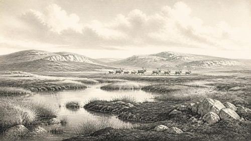
The fauna includes woolly mammoth, giant deer, reindeer, brown bear and spotted hyaena; other remains document wolf, Arctic fox and lemmings. These animals do not prove that every species occupied every Irish region in 30,756 BCE. They do show that, over the broader period, Ireland intermittently contained or was reached by animals characteristic of cold, open environments. Reindeer and mammoth indicate productive grazing landscapes somewhere within the wider region; hyaenas and wolves point to predators and scavengers capable of exploiting large carcasses. Caves, however, are biased archives: carnivores, running water and excavators all affect what survives.
There is no evidence here for human warfare. The only demonstrable conflict is ecological: animals competing, hunting and scavenging in a harsh environment. Large predators may themselves explain why bones reached cave chambers. It is therefore wrong to turn a collection of fauna into a story of human hunters without independent traces such as securely stratified tools, hearths, butchered bones and occupation surfaces.
The Human Question
A reindeer femur from Castlepook has been reported as carrying a deep fresh-bone mark interpreted as a possible stone-tool cut or chop mark. The bone has been publicised as potentially indicating human handling of a reindeer around 33,000 years ago. If that interpretation is confirmed through renewed contextual and microscopic work, it would be momentous: it could move evidence for human activity in Ireland far earlier than the securely documented late Upper Palaeolithic evidence from County Clare.
For this date, however, the claim remains provisional. The Castlepook bone was recovered from a cave whose deposits were excavated long before modern recording standards, and a single modified bone cannot establish a settlement, population, route of migration or cultural tradition. It cannot tell us the identity, language, beliefs or number of any people who may have visited. The more securely dated butchered brown-bear bone from Alice and Gwendoline Cave, County Clare, is much later, dating to about 12,810–12,590 calibrated BP. That distinction should not be blurred.
Society Beyond Recovery
There is no responsible evidence for political affairs, diplomacy, leaders, law, organised religion, formal learning, trade networks or permanent settlement in Ireland at this point. There are no known Irish houses, hearths, campsites, ornaments, burials, pottery, metalwork or written symbols that can be assigned to 30,756 BCE. Nor can historians reconstruct an Irish economy in the later sense of farming, markets or exchange. Agriculture was tens of millennia in the future.
If people did reach Ireland during this wider interval, the most that can presently be inferred is that they would have depended on mobile Upper Palaeolithic lifeways: knowledge of seasonal animals, stone, shelter, fuel and changing routes across a cold Atlantic-edge landscape. That is an inference drawn from broadly comparable European contexts, not direct evidence from an Irish camp. The absence of a confirmed tool assemblage means even this must remain a possibility rather than a description of everyday life.
The central development illuminated by this date is environmental. Derryvree shows Ireland as a place repeatedly remade by ice, frost, water and biological recolonisation: not continuously buried beneath a uniform ice sheet, but not yet a landscape where enduring human communities can be demonstrated. Its clubmosses, moss beds, sedges and shallow water preserve a brief ecological archive within a much longer Ice Age story.
Primary Sources
- A Middle Midlandian Freshwater Series at Derryvree, Maguiresbridge, County Fermanagh, Northern Ireland
- Palaeoecology: Irish Quaternary Association Field Guide
- The Subdivision of the Quaternary Period in Ireland
- Irish Pleistocene Biostratigraphy
- Growth and Retreat of the Last British–Irish Ice Sheet, 31,000 to 15,000 Years Ago: the BRITICE-CHRONO Reconstruction
- Extent and Timing of the Last Glacial Maximum in Britain and Ireland: a Review
- The Timing and Magnitude of the British–Irish Ice Sheet Between Marine Isotope Stages 5d and 2
- BRITICE Glacial Map, Version 2: a Map and GIS Database of Glacial Landforms of the Last British–Irish Ice Sheet
- Pattern and Timing of Retreat of the Last British-Irish Ice Sheet
- Last Glacial Maximum Cirque Glaciation in Ireland and Implications for Reconstructions of the Irish Ice Sheet
- Trimlines, Blockfields and the Vertical Extent of the Last Ice Sheet in Southern Ireland
- A Reconsideration of the Radiocarbon Dating of the Marine Isotope Stage 3 Fauna from Southern Ireland
- The Irish Quaternary Fauna Project
- Castlepook Cave: County Geological Site Report
- The Exploration of Castlepook Cave, Co. Cork, With 3 Plates
- Occurrence of Mammalia Relicts at Site Castlepook Cave
- First Evidence of a Late Upper Palaeolithic Human Presence in Ireland
- New Insights on the Fauna of Ireland's Younger Dryas and Early Holocene from Alice & Gwendoline Cave
- Prehistoric Details
- The IntCal20 Northern Hemisphere Radiocarbon Age Calibration Curve (0–55 cal kBP)
- The IntCal20 Northern Hemisphere Radiocarbon Age Calibration Curve (0–55 cal kBP) – PDF
- Freshwater Organic Deposits and Stratified Sediments Between Early and Late Midlandian (Devensian) Till Sheets, at Aghnadarragh, County Antrim, Northern Ireland