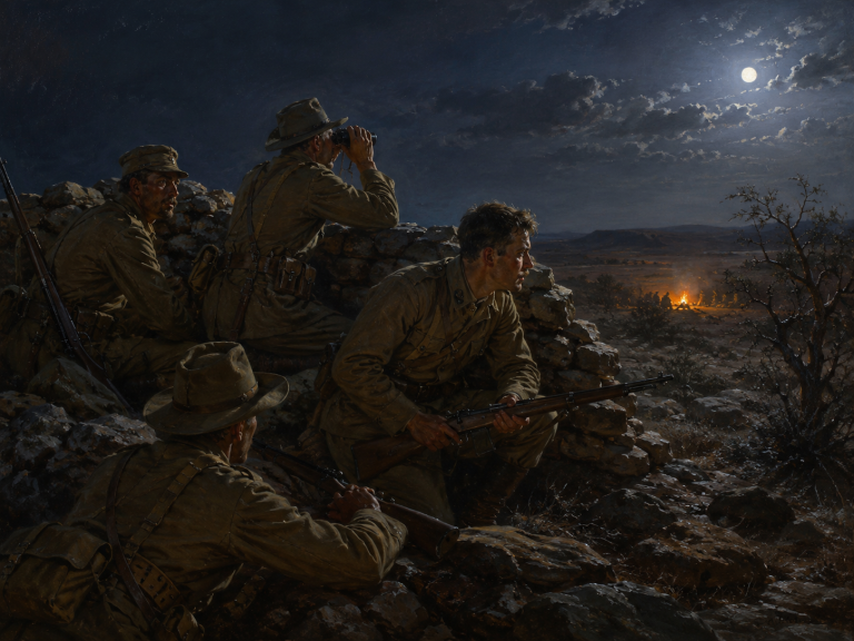

Curraghgower Falls(c.1830s)
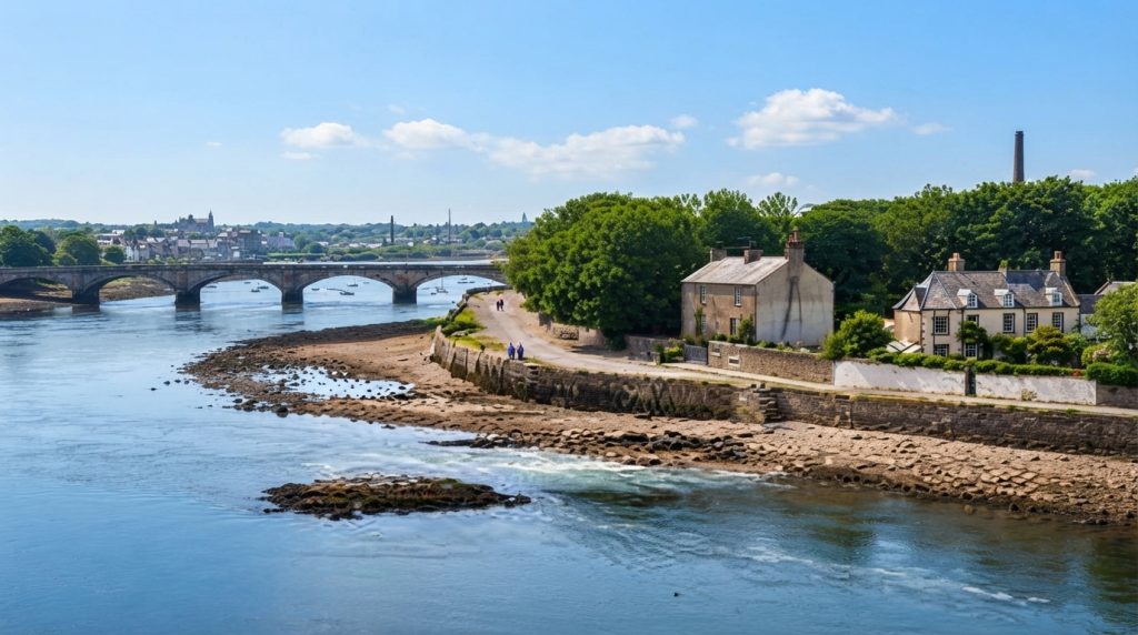
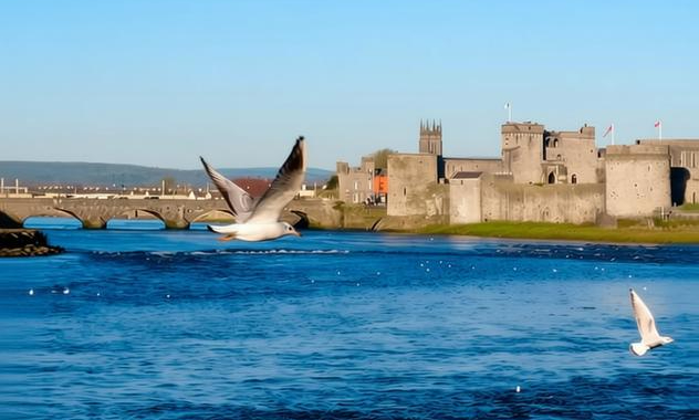
The Curraghgower Falls take their name from the anglicised placename applied to the bend of the River Shannon beside King John’s Castle. Curraghgower represents an English rendering of older Gaelic elements such as currach or corrach and dobhar or dhobhair. These Gaelic elements describe marshy ground, a rocky feature, or eddying water, terms used in local speech and by surveyors who recorded place‑names. The anglicised form was fixed in maps and local usage during the nineteenth century, reflecting how administrative mapping processes translated Gaelic topographical words into English place‑names across the region. It therefore preserves a descriptive gloss and meaning.
Primary documentary evidence includes Ordnance Survey name books and field name books for County and City of Limerick, the parish namebooks compiled around 1839 and 1840 and held in national and local repositories. These surveyors’ notes record local spellings, glosses and topographical associations that link Curraghgower to currach/corrach and dobhar/dhobhair. Six‑inch Ordnance Survey maps of mid‑nineteenth century Limerick show the Shannon channel and the marked place‑name in the King’s Island area. Grand Jury and county maps of the nineteenth century and survey memoirs further document the anglicised placename appearing on official cartographic material for the King’s Island riverside archives nearby.
Contemporary newspapers and visual sources provide further primary leads: nineteenth‑century issues of the Limerick Chronicle and the Freeman’s Journal reported river conditions, navigation and references to the falls, while photographic and postcard collections depict Curraghgower Falls beside King John’s Castle in late nineteenth and early twentieth century views. Municipal records and Limerick City Council minutes record quayside works, slips and navigation measures near King’s Island and the Curraghgower area. Boat club, harbour and navigation records, including minute books and boating logbooks, note hazards and local practice on the river channel close to the falls and documented slipways in local archives.
Antiquarian and early modern accounts complement survey material: Ordnance Survey memoirs and local antiquarian notes describe King’s Island river features and identified named weirs, rapids or notable shallow areas adjacent to the castle. Antiquaries such as Westropp and other county writers recorded observations about river morphology, built quays and cultural associations that inform later mapping and local usage. Printed memoir volumes, county antiquarian papers and manuscript notebooks in local libraries and archives preserve these observations. Researchers interested in Curraghgower should consult those printed and manuscript sources alongside survey notes, maps and contemporary newspapers for corroborating primary evidence and photographic material.
Key repositories and catalogues to consult include the National Archives and the Ordnance Survey parish notebooks held in local repositories, the National Library of Ireland for six‑inch maps and newspaper microfilm, Limerick Local Studies for field name books, Limerick City Archives for municipal and grand jury maps, and Limerick City Museum and Shannon Heritage for photographic and postcard holdings. The British Newspaper Archive and National Library newspaper runs can be searched for nineteenth‑century reports. Local boat clubs, harbour archives and county antiquarian collections in local libraries offer primary research leads for Curraghgower and for visual dating of images and views.
Primary Sources
- Ordnance Survey Name Books and Field Name Books for County and City of Limerick (surveyors' parish namebooks, c.1839–1840), held in the National Archives and reproduced at Limerick Local Studies (Field Name Books of Limerick). Source Link
- Logainm.ie entry for Curraghagower (historic forms and Ordnance Survey citations), including 1837 and parish namebook references. Source Link
- Six‑inch Ordnance Survey map of County Limerick (mid nineteenth century), showing the Shannon channel and place‑name in the King’s Island area; consult National Library of Ireland map collections or Ordnance Survey Ireland facsimiles.
- Grand Jury and County Maps for County Limerick (nineteenth century), showing anglicised placenames around King’s Island and the Shannon; consult local map collections at Limerick City and County Archives or the National Archives of Ireland.
- Field name and place‑name notes collected by John O'Donovan and Ordnance Survey scribes for Limerick parishes (parish namebooks and appendices), referencing currach/corrach and dobhar/dhobhair elements; consult Ordnance Survey parish notebooks in local repositories.
- Contemporary newspapers with river reports and local descriptions: Limerick Chronicle and Freeman’s Journal (nineteenth century issues) reporting the falls, navigation and local life; search newspaper runs at the British Newspaper Archive, National Library of Ireland microfilm and local newspaper collections.
- Photographic and postcard collections depicting Curraghgower Falls and King John’s Castle (late nineteenth and early twentieth centuries), held in Limerick City Museum, Shannon Heritage collections and private postcard archives; consult catalogue entries and image files for visually dated evidence of the falls as a landmark.
- Municipal records and Limerick City Council minutes and quayside works papers (nineteenth century), recording slips, quays and navigation measures near King’s Island and Curraghgower; consult Limerick City and County Council archives.
- Boat club, harbour and navigation records for Curraghgower/Curragour slipways and clubs (twentieth century), including minute books and boating logbooks that note hazards at the falls; consult local sporting club archives and Shannon navigation records.
- Early modern and later antiquarian accounts including Ordnance Survey memoirs, antiquarian notes (for example Westropp and other local antiquaries) describing King’s Island river features and the named weir or rapids adjacent to the castle; consult printed memoir volumes and county antiquarian papers in local libraries.
Image Prompt
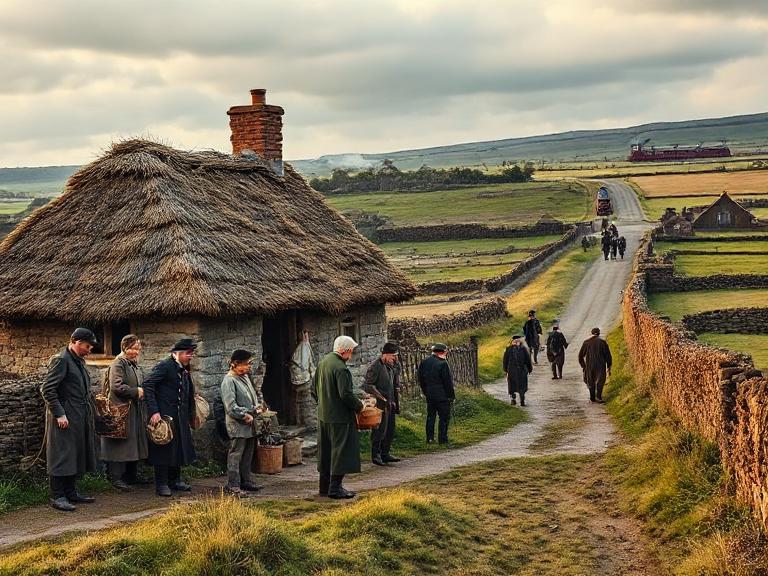
Photorealistic full‑colour landscape view of the Curraghgower Falls on the River Shannon beside King John’s Castle at low tide, historically accurate in geography and architecture. Natural daylighting at late afternoon, soft warm light with long shadows. Include the stone castle on the right bank, the rocky shallows and small turbulent drops in the river channel, timber and stone quays, a small wooden boat and a few local people in correct late nineteenth century dress (men in caps and waistcoats, women in long skirts and shawls). No written words or signage visible; historically accurate materials and textures; high photographic detail.