IntCal Calibration Curve31943 BCE
31,943 BCE is a modern label within a broad late-Pleistocene range, not a datable Irish year. Radiocarbon calibration, geological evidence and disturbed deposits require caution. During Marine Isotope Stage 3, Ireland had cold, open habitats, changing coastlines and advancing ice, but was not uniformly ice-covered. Castlepook Cave in County Cork preserves rich fauna, including mammoth, reindeer, giant deer, bear and hyaena, though remains accumulated over long periods and do not prove human hunting. A cut-marked reindeer bone suggests possible early visitation, yet secure Palaeolithic settlement evidence remains absent. Ice erosion explains sparse records; future discoveries may clarify Ireland’s changing landscape.
Dateline
“31,943 BCE” is a modern chronological label, not a date at which Irish prehistory can be observed year by year. No settlement, ruler, battle, treaty or ritual in Ireland can responsibly be assigned to that calendar year. At this depth of time, chronology comes from radiocarbon measurements, geological sequences and comparisons between deposits; all carry margins of uncertainty. A numbered BCE year should therefore be treated as a point within a much broader late-Pleistocene horizon, rather than as an anniversary.
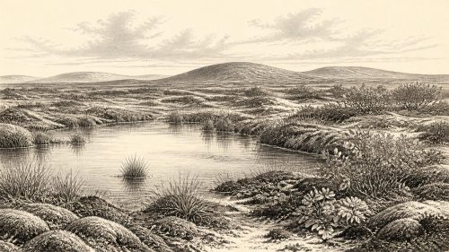
The most useful frame is the later part of Marine Isotope Stage 3, before the fullest expansion of the last British–Irish Ice Sheet. Calibrated chronologies place the global Last Glacial Maximum at roughly 26,500–19,000 years before present, while the local maximum of the British–Irish Ice Sheet occurred at different times in different regions, broadly around 27,000–23,000 years ago. Around the notional date used here, Ireland was in a cold Ice Age world but was not simply the uniformly ice-buried island of later popular imagination.
Dating an Un-datable Year
The distinction between radiocarbon and calendar time matters especially here. ‘Before present’ in radiocarbon work conventionally uses AD 1950 as its reference point, and a radiocarbon age is not a calendar age. Atmospheric carbon levels have varied over millennia, so measurements must be calibrated against international curves such as IntCal20. Beyond about 25,000 calendar years ago, the resulting ranges are necessarily broad. The responsible language is therefore ‘c. 40,000–34,000 calibrated years before present’, or a similarly qualified range where the individual sample and method warrant it, not a claim that an event occurred in 31,943 BCE.
This caution is more than technical. Ireland’s evidence is sparse, and much has been disturbed by erosion, cave processes and later glaciation. A fossil may date the death of an animal, not a human visit; a stone may have been moved by ice; and a cave deposit may represent many separate episodes. The archaeological record does not yield a continuous national narrative. It offers scattered, hard-won glimpses of changing habitats and occasional animal or human activity.
Castlepook and the Ice-Age Landscape
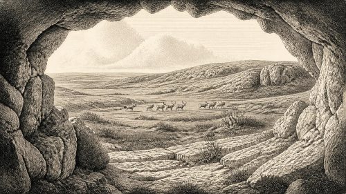
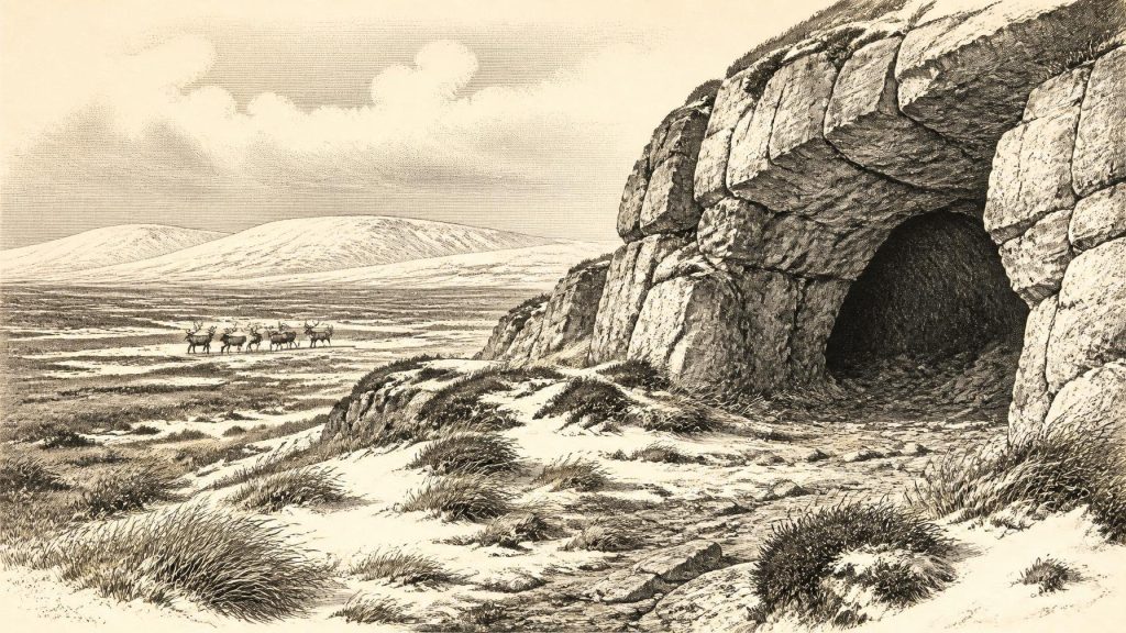
The key Irish locality for this broad period is Castlepook Cave, near Doneraile in north County Cork. The limestone cave system has produced more than 2,000 bones and is the richest known Irish site for vertebrate life leading up to the Last Glacial Maximum. Its dated remains span a long interval, approximately 45,700–19,950 radiocarbon years before present. That span is a warning against treating its entire animal list as a single moment, but it confirms that southern Ireland supported substantial large-mammal communities during parts of the middle and later Ice Age.
Woolly mammoth, reindeer, giant deer, brown bear and spotted hyaena are represented at Castlepook, alongside later cold-adapted animals including Arctic fox, wolf, collared lemming and Norwegian lemming. Such remains point to an open, cold and variable environment rather than to the wooded Ireland familiar today. Grassland, herb-rich steppe-tundra, bare ground and seasonal snow would have offered forage to grazing and browsing animals. Limestone crags and caves provided sheltering places, dens, traps for bones and protected archives of sediments.
The cave’s carnivore evidence is particularly revealing, though it must not be overstated. Spotted hyaenas were not exotic curiosities drifting through a temperate landscape: they were part of the Pleistocene fauna of southern Ireland. Their feeding and denning behaviour could accumulate, gnaw and scatter animal bones. Consequently, the presence of mammoth or deer remains in a cave does not automatically prove hunting by people. It may record natural death, carnivore transport or several processes acting over a long time.
People: A Possibility, Not a Population
A reindeer bone from Castlepook has been reported as bearing deep marks consistent with butchery by a stone tool and has been widely presented as evidence for human activity in Ireland about 33,000 radiocarbon years ago. If that interpretation is sustained, it would push evidence of human presence dramatically earlier than the better-known terminal Pleistocene traces. Yet it remains evidence for a brief activity at one cave, not proof of a settled population, a named culture, a route of arrival or a community lasting generations.
The need for restraint is underscored by the National Museum of Ireland’s continuing statement that clear evidence for human presence in Ireland during the Palaeolithic has not yet emerged. That position reflects the difference between an important, debated indicator and an excavated settlement with securely associated tools, hearths, living surfaces and repeated occupation. Earlier claims for very ancient Irish artefacts have also failed scrutiny: the flint flake from Mell, County Louth, may have been made far away and later transported in glacial deposits.
Accordingly, the most defensible picture around this date is of possible episodic human visitation to an accessible part of Ireland, perhaps by highly mobile Upper Palaeolithic hunter-gatherers, rather than an established Irish society. Any visitors would have belonged to wider north-west European networks, but their language, kinship, beliefs, clothing and precise technologies are unknown in Ireland. Comparison with contemporary groups in Britain and continental Europe can suggest possibilities, such as expert knowledge of seasonal animal movements and stone-working, but cannot fill Irish gaps with certainty.
No Politics, but Real Movement
There is no evidence for political institutions, territories, diplomacy or organised warfare in Ireland at this time. Such terms require social traces that simply have not survived. Nor should the island be imagined as an empty stage awaiting later history. Animal populations were moving through changing habitats; predators and prey shaped one another’s ranges; and perhaps small human groups occasionally crossed a very different coastal geography. These were forms of movement and competition, but not demonstrable ‘affairs of state’.
Sea level was much lower globally because vast volumes of water were stored in ice sheets, exposing broad areas of today’s continental shelf. Ireland’s coastlines were therefore unlike modern ones, while the Irish Sea basin and surrounding ice margins changed repeatedly. Low sea level did not automatically create a simple, permanent dry land bridge from Ireland to Britain. Ice, water, shifting shorelines and harsh terrain all affected access. The route by which animals—and any people—reached Ireland remains a problem for palaeogeography, not a settled fact.
Ice Was Advancing
The central regional development was climatic deterioration and the growth of ice. Geological evidence from western Ireland records substantial loading by an Irish ice sheet during the long interval from about 40,000 to 19,000 calibrated years ago, including a major advance towards the continental shelf around 28,000 calibrated years ago. Later research shows that ice extent varied by sector: western and southern margins did not necessarily reach their greatest positions at the same time, and mountain summits could preserve cold-based ice or older frost-weathered surfaces.
This changing ice regime helps explain the fragmentary archaeological picture. Advancing glaciers eroded older land surfaces, rearranged sediment and deposited till; meltwater and later weathering further modified the record. Caves such as Castlepook are precious precisely because they could retain bones and sediments that open landscapes often lost. What survives is therefore biased towards protected locations and robust materials. Absence of a campsite cannot demonstrate that nobody ever visited; equally, absence of a full settlement record means that permanent occupation cannot be claimed.
Everyday Life Beyond Reach
For the same reason, everyday life can only be described conditionally. If people entered Ireland during this broad period, they would have needed portable shelter, fire, warm clothing and dependable knowledge of animals and terrain. Reindeer could have supplied meat, hides, sinew, bone and antler; stone tools would have been essential for butchery and working organic materials. These are reasonable inferences from Upper Palaeolithic lifeways elsewhere, not direct evidence for a camp at Castlepook or elsewhere in Ireland.
There is no securely Irish evidence for houses, storage pits, art, graves, shrines, long-distance exchange, boats or formal learning at this date. There can therefore be no responsible account of Irish religious practice, trade or social hierarchy. The later Mesolithic sites at Mount Sandel and Hermitage, and the still later farming landscapes and tombs, belong to entirely different climatic and chronological worlds. They demonstrate that Ireland was eventually peopled in durable ways; they do not supply missing detail for the Ice Age.
The Historical Significance
The significance of this period lies not in a conventional event but in the limits and promise of evidence. Around the modern label 31,943 BCE, Ireland was part of a dynamic Pleistocene north-west Europe: a cold land with large mammals, carnivores, altered coastlines and advancing ice. Castlepook Cave shows that the island’s pre-Last-Glacial-Maximum fauna was richer than older accounts allowed. The reported cut-marked reindeer bone raises the prospect of an unexpectedly early human visit, but it does not yet transform that prospect into a narrative of settlement.
Future work may refine the dates, identify further marks, recover ancient environmental DNA, or uncover a secure tool assemblage and occupation surface. Until then, the honest Year by Year entry is one of calibrated ranges, cave deposits and careful uncertainty. Ireland’s story at this point is not a tale of kings or monuments. It is the deeper history of a changing Ice Age landscape, and of the rare traces that escaped the ice.
Primary Sources
- A reconsideration of the radiocarbon dating of the Marine Isotope Stage 3 fauna from southern Ireland
- Castlepook Cave, County Cork Geological Site Report
- Radiocarbon constraints on the history of the western Irish ice sheet prior to the Last Glacial Maximum
- Last Glacial Maximum cirque glaciation in Ireland and implications for reconstructions of the Irish Ice Sheet
- Trimlines, blockfields and the vertical extent of the last ice sheet in southern Ireland
- Stratigraphic and palaeo-geomorphological evidence for the glacial-deglacial history of the last British-Irish Ice Sheet in the north-western Irish Sea
- Dimensions and chronology of the last ice sheet in Western Ireland
- New age constraints for the maximum extent of the last British-Irish Ice Sheet (NW sector)
- Timing and pace of ice-sheet withdrawal across the marine-terrestrial transition west of Ireland during the last glaciation
- Maximum extent and readvance dynamics of the Irish Sea Ice Stream and Irish Sea Glacier since the Last Glacial Maximum
- Exploring controls of the early and stepped deglaciation on the western margin of the British Irish Ice Sheet
- Vertical dimensions and age of the Wicklow Mountains ice dome, Eastern Ireland, and implications for the extent of the last Irish Ice Sheet
- Ireland: Submerged Prehistoric Sites and Landscapes
- Prehistoric Details: Mell Flint Flake
- Stone Age
- The Antiquity of Man in Ireland
- A New Bayesian Chronology for Mesolithic Occupation at Mount Sandel, Northern Ireland
- Stone Dead: Uncovering Early Mesolithic Mortuary Rites, Hermitage, Ireland
- The IntCal20 Northern Hemisphere Radiocarbon Age Calibration Curve (0–55 cal kBP)
- IntCal20
- Radiocarbon Dating and Chronological Modelling: Radiocarbon Dating
- Castlepook Cave Excavation, County Cork, 2022
- New insights on the fauna of Ireland's Younger Dryas and Early Holocene from Alice & Gwendoline Cave
- Phylogeographic, ancient DNA, fossil and morphometric analyses reveal ancient and modern introductions of a large mammal: the complex case of red deer (Cervus elaphus) in Ireland