Bogbean Fens31335 BCE
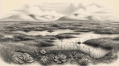
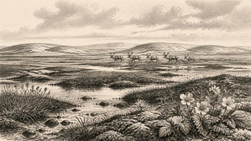
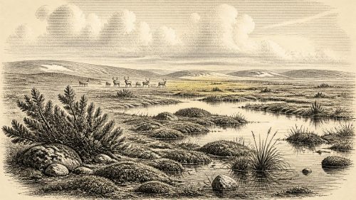
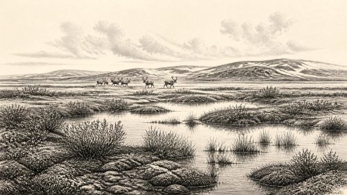
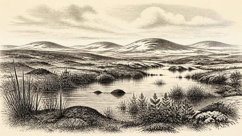
Around 31,335 BCE, Ireland was a cold, unstable, largely open Ice Age landscape, not uniformly ice-covered but shaped by glaciers, periglacial processes and shifting sea levels. Freshwater sediments at Derryvree, County Fermanagh, dated broadly to this period, preserve bogbean, sedges and other evidence of wetland habitats within treeless tundra-like terrain. Cave remains from Castlepook, County Cork, indicate large mammals including mammoth, reindeer, giant deer, hyaena and wolf in suitable open country. Possible tool marks on a reindeer bone may indicate brief human visits, but cannot prove settlement. Evidence remains fragmentary, local and unsuitable for reconstructing specific events, societies or politics.
Dateline
“31,335 BCE” is a useful modern label, not a date that can be located within an Irish prehistoric calendar. No written chronology, named community, ruler or dated event exists for Ireland at this depth of time. In scientific terms, the label falls approximately 33,284 years before the conventional radiocarbon reference year of AD 1950. Yet archaeological and environmental evidence from this period is dated in radiocarbon years before present and in broad calibrated ranges, often with uncertainties of centuries or millennia. The responsible question is therefore not what happened in Ireland in one particular year, but what the surviving evidence can say about the island during the later part of Marine Isotope Stage 3, before the climatic descent into the Last Glacial Maximum.
A Cold-Stage Island
Ireland was then part of a radically different north-west European world. Sea level was substantially lower than today because vast quantities of water were held in continental ice sheets. The Irish Sea basin and surrounding shelves were correspondingly altered, and the island’s coastlines lay far beyond their modern positions. This did not necessarily make Ireland continuously accessible on foot: changing sea channels, local ice, rivers, marshes and rough terrain all mattered. The precise configuration of land and water around the island at any moment remains modelled rather than directly observed.
The climate was cold, strongly seasonal and unstable by modern standards. Around this broad period, Ireland was not yet necessarily engulfed by the maximum ice cover of the last glaciation. That maximum belongs later, conventionally placed at roughly 26,000–19,000 years ago. But cold conditions, shifting ice margins and periglacial processes already shaped the country. Frost action broke exposed rock; seasonal thaw moved sediment; sparse vegetation left ground vulnerable to wind and runoff. The familiar green, wooded Ireland of later millennia did not exist.
This distinction matters. It is misleading to picture an island uniformly sealed beneath ice at 31,335 BCE, but equally misleading to imagine a hospitable landscape like the present one. The evidence indicates a changing mosaic in which locally ice-free ground, freshwater basins and open tundra-like habitats could exist, while glaciers and cold-climate processes remained decisive forces in the wider landscape.
The Derryvree Freshwater Record
The most important direct environmental archive for this approximate horizon comes from Derryvree townland, near Maguiresbridge in County Fermanagh. Road works in 1969 cut through a drumlin and revealed organic freshwater silts and fine sands trapped between two thick sheets of glacial till. The sequence is exceptionally informative because the lower and upper tills record separate episodes of glacial deposition, while the sediments between them preserve a phase when ice was absent locally and freshwater life was possible.
The Derryvree organic deposit, known by its radiocarbon laboratory number Birm-166, produced a conventional age of 30,500 ± 1,100 radiocarbon years BP. Calibration and later chronological modelling cannot turn this into a single calendar year. They instead place it broadly in the later Middle Midlandian cold stage, with calibrated estimates spanning part of the mid-to-late 30,000s cal BP; a range of roughly 36,500–33,000 cal BP is a reasonable guide, while recognising the limitations of a legacy measurement. Thus 31,335 BCE lies close to the younger edge of the broad interval illuminated by this deposit, not at an identifiable point within it.
Its biological contents are more revealing than its age alone. The freshwater silts preserved plant macrofossils, pollen and small animal remains. Among the best-known finds was a seed of bogbean, Menyanthes trifoliata, a plant associated with wet ground and shallow freshwater margins. Its presence does not imply a mild landscape. Rather, it demonstrates that cold-climate Ireland included pools, marshy edges and short growing seasons capable of sustaining specialised aquatic and wetland plants. Other remains point towards sedges, mosses and low, open vegetation, not closed forest.
Wetlands in Open Tundra
Derryvree should not be treated as a miniature map of the entire island. A drumlin hollow in Fermanagh recorded conditions at one locality, and pollen or seed assemblages are shaped by transport, preservation and sampling. Even so, the combined evidence supports a periglacial wetland landscape: shallow water or saturated sediment surrounded by largely treeless, cold-climate vegetation. Plants such as mountain avens, Arctic willow, dwarf birch and clubmosses are associated with comparable Irish and British late Pleistocene records, although their precise local abundance changed through time.
Such terrain would have been productive in a constrained way. Snowmelt and seasonal rainfall could feed ponds and channels; sedges and other plants supplied grazing or cover; insects, water birds and small mammals could use wetland niches. But the productive season was short, winters severe, and the ground often frozen or waterlogged. There is no basis for imagining permanent villages beside the Derryvree pool. The deposit instead captures an ecological opportunity between episodes of ice advance: a place where life persisted amid a landscape prone to abrupt climatic change.
The Animal World of Ireland
Cave collections from southern Ireland show that the island supported a far richer large-mammal fauna before the Last Glacial Maximum than it would in later prehistoric times. Castlepook Cave, near Doneraile in north County Cork, is especially important. Its deposits and old collections include remains attributed to woolly mammoth, giant deer, reindeer, brown bear, spotted hyaena, wolf, Arctic fox, mountain hare, stoat and lemmings. The site’s fauna was accumulated over a long span, and not all bones are contemporary; early excavations also disturbed deposits and left imperfect contextual records. Nonetheless, direct radiocarbon re-dating confirms that several elements of this fauna belong to Marine Isotope Stage 3.
This was not an untouched parade of animals. Predators and scavengers mattered. Spotted hyaenas used caves or cave entrances and could accumulate, gnaw and redistribute bones. Carnivores, water movement, falling rock and later excavation can all alter a bone assemblage. A cave fauna therefore records animal presence in a region, but rarely supplies a simple census of one valley in one season. The strongest conclusion is that Ireland held open-country habitats capable of supporting grazing herbivores and the carnivores that followed them. Mammoth, reindeer and giant deer evoke very different feeding strategies, but together point to a varied, largely open environment rather than dense woodland.
The Human Question
The possibility of human activity in Ireland at roughly this time remains important but unresolved. A reindeer femur from Castlepook has been reported as bearing a deep linear mark interpreted by Ruth Carden as a possible fresh-bone cut or chopping mark made with a stone tool. The bone has been associated with an age of about 33,000 radiocarbon years BP in public discussion. If that interpretation were confirmed through detailed taphonomic analysis and securely dated context, it would suggest a brief Upper Palaeolithic human incursion into Ireland long before the well-established Mesolithic settlement of the island.
It does not, however, demonstrate a resident population in 31,335 BCE. There is no securely associated hearth, stone-tool assemblage, dwelling floor, burial, art, or human skeletal evidence from Castlepook that establishes a community at this date. Moreover, a radiocarbon determination dates the animal bone, not automatically the making of a surface mark; distinguishing a tool cut from damage caused by carnivores, sediment movement, excavation or later handling requires separate analysis. The proposition is best described as a promising and contested indication, not as settled proof of Ireland’s first inhabitants.
No States, No Diplomacy
Political affairs, diplomacy and warfare cannot responsibly be reconstructed for Ireland at this horizon. There were no states, kingdoms, written laws or institutions visible in the record, and no evidence for territorial boundaries or organised conflict. Even if people reached the island intermittently, they would have been small, mobile hunter-gatherer groups operating within wider north-west European networks, not an identifiable “Irish” society in the later cultural sense.
Likewise, religion, learning, formal trade and material culture lie beyond what the evidence can establish. Archaeology has not identified ritual places, symbolic objects, exchange goods or teaching traditions in Ireland from this period. Absence of evidence does not prove that social knowledge, kinship, belief or seasonal movement did not exist among any visitors. It means that the Irish record presently cannot describe them. The past visible here is chiefly environmental: water, plants, animals, sediment and ice.
What This Date Represents
The historical significance of 31,335 BCE is therefore methodological as much as narrative. Ireland’s later Last Glacial Maximum ice cover eroded and buried many older land surfaces, while lower Ice Age sea levels placed some former coastal landscapes on the seabed. The surviving record is fragmentary, local and often recovered from caves, road cuttings or sediments between tills. Derryvree’s bogbean seed and freshwater silts show that an ice-free Fermanagh wetland existed during a cold stage; Castlepook’s fauna shows that large mammals occupied parts of southern Ireland across the broader pre-maximum interval. Neither archive can narrate one calendar year.
Around the modern label 31,335 BCE, then, Ireland should be understood as a cold, open and environmentally dynamic place within the wider Ice Age north-west. Wetlands persisted in protected hollows; large herbivores and formidable carnivores ranged through suitable country; ice and climate could rapidly redraw the limits of habitable ground. Human presence is possible, perhaps even increasingly plausible, but has not yet crossed the threshold from suggestive trace to securely demonstrated settlement. That uncertainty is not a failure of history. It is the most accurate account the evidence allows.
Source References
Hover over a number to see the source. Select it to open the source.

- [1] A Middle Midlandian Freshwater Series at Derryvree, Maguiresbridge, County Fermanagh, Northern Ireland
- [2] A Reconsideration of the Radiocarbon Dating of the Marine Isotope Stage 3 Fauna from Southern Ireland
- [3] The Irish Quaternary Fauna Project
- [4] New Insights on the Fauna of Ireland's Younger Dryas and Early Holocene from Alice & Gwendoline Cave
- [5] First Evidence of a Late Upper Palaeolithic Human Presence in Ireland
- [6] Exploring Controls of the Early and Stepped Deglaciation on the Western Margin of the British Irish Ice Sheet
- [7] Last Glacial Maximum Cirque Glaciation in Ireland and Implications for Reconstructions of the Irish Ice Sheet
- [8] Late Pleistocene Chronostratigraphy and Ice Sheet Limits, Southern Ireland
- [9] Dimensions and Chronology of the Last Ice Sheet in Western Ireland
- [10] New Data for the Last Glacial Maximum in Great Britain and Ireland
- [11] Early Deglaciation of the British-Irish Ice Sheet on the Atlantic Shelf Northwest of Ireland Driven by Glacioisostatic Depression and High Relative Sea Level
- [12] Maximum Extent and Readvance Dynamics of the Irish Sea Ice Stream and Irish Sea Glacier Since the Last Glacial Maximum
- [13] The IntCal20 Northern Hemisphere Radiocarbon Age Calibration Curve (0–55 cal kBP)
- [14] Castle Pook Cave, County Cork: County Geological Site Report
- [15] Archaeological Heritage of County Cork
- [16] Archaeology Research Excavation Grant 2022: Castlepook Cave Final Report
- [17] Castlepook Cave, Co. Cork, 2022 Excavation Report
- [18] Occurrence of Mammalia Relicts at Site Castlepook Cave
- [19] Ireland: Submerged Prehistoric Sites and Landscapes
- [20] Ireland's First Settlers: Time and the Mesolithic
- [21] The Geological Heritage of County Leitrim
- [22] Menyanthes trifoliata in Fermanagh: Fossil Record
Primary Sources
- A Middle Midlandian Freshwater Series at Derryvree, Maguiresbridge, County Fermanagh, Northern Ireland
- A Reconsideration of the Radiocarbon Dating of the Marine Isotope Stage 3 Fauna from Southern Ireland
- The Irish Quaternary Fauna Project
- New Insights on the Fauna of Ireland's Younger Dryas and Early Holocene from Alice & Gwendoline Cave
- First Evidence of a Late Upper Palaeolithic Human Presence in Ireland
- Exploring Controls of the Early and Stepped Deglaciation on the Western Margin of the British Irish Ice Sheet
- Last Glacial Maximum Cirque Glaciation in Ireland and Implications for Reconstructions of the Irish Ice Sheet
- Late Pleistocene Chronostratigraphy and Ice Sheet Limits, Southern Ireland
- Dimensions and Chronology of the Last Ice Sheet in Western Ireland
- New Data for the Last Glacial Maximum in Great Britain and Ireland
- Early Deglaciation of the British-Irish Ice Sheet on the Atlantic Shelf Northwest of Ireland Driven by Glacioisostatic Depression and High Relative Sea Level
- Maximum Extent and Readvance Dynamics of the Irish Sea Ice Stream and Irish Sea Glacier Since the Last Glacial Maximum
- The IntCal20 Northern Hemisphere Radiocarbon Age Calibration Curve (0–55 cal kBP)
- Castle Pook Cave, County Cork: County Geological Site Report
- Archaeological Heritage of County Cork
- Archaeology Research Excavation Grant 2022: Castlepook Cave Final Report
- Castlepook Cave, Co. Cork, 2022 Excavation Report
- Occurrence of Mammalia Relicts at Site Castlepook Cave
- Ireland: Submerged Prehistoric Sites and Landscapes
- Ireland's First Settlers: Time and the Mesolithic
- The Geological Heritage of County Leitrim
- Menyanthes trifoliata in Fermanagh: Fossil Record