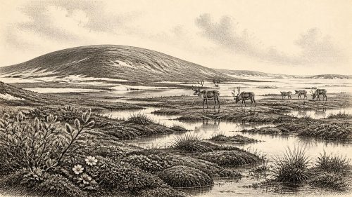
Dwarf Willow in Fermanagh30560 BCE
30,560 BCE is not a precise recoverable Irish historical year but a broad Late Pleistocene horizon within Marine Isotope Stage 3. At Derryvree, County Fermanagh, freshwater organic sediments between glacial tills record an ice-free interval before renewed glaciation. Radiocarbon dating provides only a wide calibrated range. Mosses, sedges, dwarf willow, aquatic plants, pollen and insects indicate cold, treeless, wet, open terrain with pools and short growing seasons. Comparable sites demonstrate regionally varied ice activity. Southern cave fauna confirms wider Pleistocene mammals, though not contemporaneity. No secure evidence identifies humans, settlements, agriculture or institutions then; Ireland’s earliest human activity is later.
Dateline
30,560 BCE is a modern chronological label, not a recoverable year in Irish history. It corresponds roughly to 32,510 calendar years before AD 1950, the conventional reference point for “BP” dating. No Irish calendar, writing, named community, building, grave or recorded event can be assigned to such a narrow interval. The responsible subject is therefore Ireland during a broad phase of the Late Pleistocene, within Marine Isotope Stage 3: a climatically unstable part of the last glacial cycle, before the fullest expansion of the last British–Irish Ice Sheet.
The closest Irish evidence is measured in radiocarbon determinations, sedimentary sequences and fossil assemblages, each spanning centuries or millennia. A particularly valuable window comes from Derryvree, near Maguiresbridge in County Fermanagh. There, a road cutting exposed freshwater sediments and organic layers trapped between two beds of glacial till. The sequence proves that ice had occupied the locality, that an interval of open water and wet ground followed, and that later ice or ice-derived sediment sealed the deposit. It does not identify conditions in one particular twelve-month period, nor does it describe all parts of Ireland at once.
Dating a Landscape, Not a Year
The Derryvree organic deposit produced the conventional radiocarbon determination BIRM-166, reported as 30,500 radiocarbon years BP with a substantial uncertainty of +1,170/−1,030 years. A radiocarbon age is not equivalent to a calendar age. Atmospheric carbon-14 concentrations changed through time, so laboratory measurements must be compared with calibration curves such as IntCal20. At this antiquity, calibration produces broad probability distributions rather than a precise date. The deposit is generally placed in the middle part of the Midlandian, the Irish name often used for the last glacial stage.
This distinction is more than technical. The number 30,560 BCE might suggest an annalistic certainty which the evidence cannot support. It is best treated as a point within a much wider late-Pleistocene horizon. Derryvree provides a closely relevant environmental archive; it cannot tell us that a particular pool, plant, animal or person existed there in that nominal year. Likewise, its evidence for an ice-free Fermanagh locality should not be extended automatically to every coast, upland and lowland of the island.
Fresh Water Between the Tills
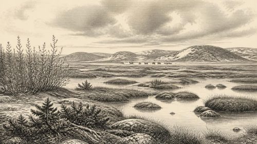
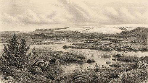
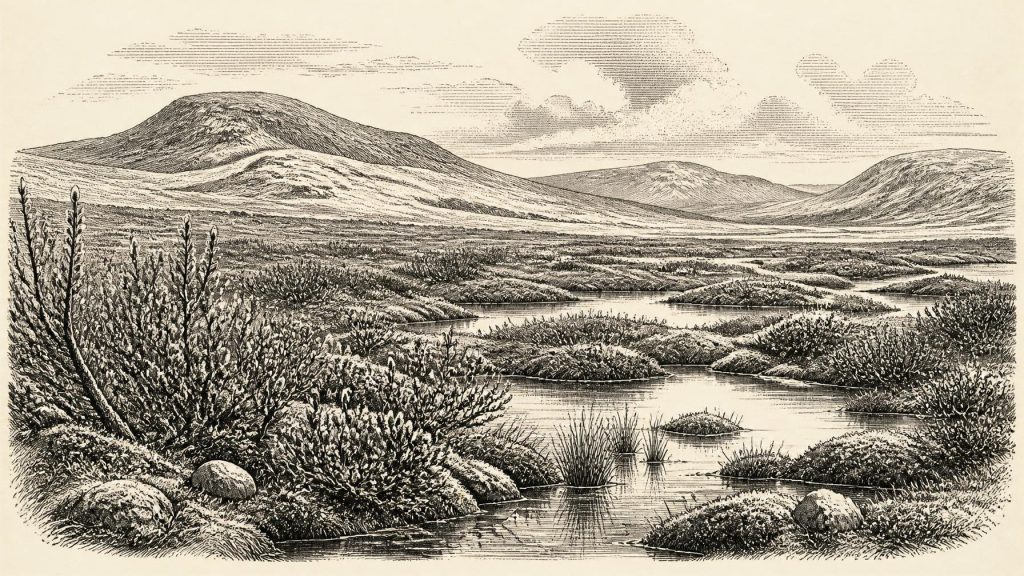
What did survive at Derryvree is remarkable. Beneath the later glacial deposits were fine sands, silts and organic material laid down in freshwater and wet ground. Mosses, sedges, pollen, plant macrofossils and insects record a cold, largely treeless environment. The vegetation included grasses and sedges, low shrubs such as dwarf willow, and plants associated with cool, wet or Arctic-alpine conditions. Finds of bogbean and alternate water-milfoil indicate freshwater habitat, while mountain-avens and lesser clubmoss point towards exposed, cold-ground settings.
The best interpretation is not a uniform snowfield, nor a familiar modern bog, but a shifting mosaic. Shallow pools or slow water lay beside saturated mossy margins, mineral soils and open herb-rich ground. Summer thaw allowed plants and insects to flourish in protected wet places; frost, wind, low winter light and a short growing season imposed severe limits. Earlier scholars used the term “muskeg” for such organic-rich wetland conditions. The term remains useful if it is not mistaken for an exact replica of a present-day peatland.
Insects are especially informative because many beetle species have narrow habitat and climatic tolerances. At Derryvree their cold, northern character reinforces the botanical evidence. A few tree-pollen grains do not establish a surrounding forest: pollen can travel far, and older material can be reworked into younger deposits. The combined assemblage instead supports open country in which trees were absent locally or extremely sparse.
An Island Facing Growing Ice
Ireland’s ice history at this depth of time is complicated and remains under revision. The major last-glacial ice sheet did not simply appear everywhere at once. Ice advanced, retreated or stagnated differently across regions, while climate oscillated on shorter timescales. Derryvree’s position between two tills is direct evidence for more than one phase of ice activity in Fermanagh. Other inter-till sites, including Hollymount and Greenagho in the same county, and Aghnadarragh in County Antrim, similarly show that cold but non-glacial episodes interrupted local glaciation.
Recent reconstructions of the British–Irish Ice Sheet emphasise this regional complexity. They place the later growth and maximum of the ice sheet within a long sequence rather than a single island-wide event. The maximum extent was still developing after the broad horizon considered here, and the timing of greatest ice cover varied between the Atlantic shelf, western Ireland, the Irish Sea Basin and other sectors. Around 30,560 BCE, therefore, it is safer to speak of a landscape vulnerable to renewed glaciation than to claim that Ireland was either wholly ice-covered or wholly open.
Frost action, seasonal meltwater and unstable ground would have shaped many exposed areas. Glaciers altered drainage, transported rock and sediment, and later buried parts of the evidence. The drumlins, tills and scoured bedrock familiar in the modern landscape are enduring consequences of repeated ice-sheet processes, although most cannot be tied to this one date.
Mammals and Moving Corridors
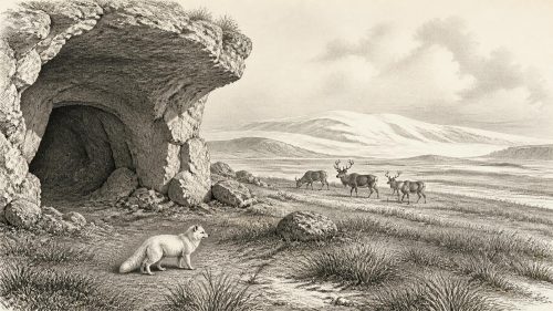
Southern Irish caves provide a different kind of evidence. Castlepook Cave, also known as Mammoth Cave, near Doneraile in County Cork, has yielded Ireland’s richest known assemblage of Pleistocene vertebrates. Its Ice Age fauna includes woolly mammoth, reindeer, giant deer, brown bear, wolf, Arctic fox and spotted hyaena. These animals did not necessarily live together at one moment, and the cave deposits were accumulated and disturbed over long periods. Yet the assemblage demonstrates that Ireland supported a much richer cold-stage mammal fauna than survives today.
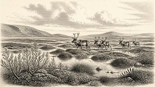
Modern radiocarbon re-dating has altered the chronology of the Castlepook material, in some cases making it substantially older than previous estimates. That revision is a useful warning against turning a faunal list into a snapshot of 30,560 BCE. Some species may have disappeared from Ireland before the Last Glacial Maximum; others may have entered during different phases of favourable access and habitat. Still, reindeer and mammoth remain powerful indicators of the wider ecological world to which Ireland intermittently belonged: open, cold-country environments with seasonal plant productivity, large herbivores and carnivores or scavengers following them.
How animals reached Ireland is not fully settled by the bones alone. Lower sea levels altered coastlines, but sea level, ice cover, sea ice, changing channels and land connections all mattered. The fossil record shows movement into Ireland over the wider Pleistocene; it does not securely map a single migration route or season at this date.
No Recoverable Human Polity
There is no accepted evidence for a settled human community in Ireland around 30,560 BCE. Consequently, political affairs, diplomacy, warfare, law, leadership and territorial institutions cannot responsibly be reconstructed. There are no houses, hearths, tools in secure contemporary contexts, burials, monuments or art that can be assigned to this horizon. Silence in the record does not prove that no person ever reached the island’s western fringe, but it does mean that historians cannot populate this date with hunters, clans or chiefs as though they were documented.
The earliest firmly dated evidence currently associated with human activity in Ireland is much later: a butchered brown-bear bone from Alice and Gwendoline Cave, County Clare, dated to roughly 12,810–12,590 calibrated BP. That discovery transformed discussion of Ireland’s Upper Palaeolithic, but it remains far younger than 30,560 BCE. It cannot be projected backwards across almost twenty millennia.
For the same reason, there is no evidence for agriculture, herding, trade networks, craft production, ritual sites, formal religion or learning in Ireland at this point. If people had briefly travelled through any ice-free tract, their economy and social life are unknown. The material record presently illuminates ecological opportunity rather than human organisation: water, plants, insects, grazing animals, predators and a severe seasonal climate.
What This Date Can Mean
The most defensible picture is of a changing Irish environment on the threshold of more extensive glaciation. In Fermanagh, a freshwater wetland had at some point formed between episodes of ice cover, supporting dwarf willow, mosses, sedges and other cold-adapted life. Elsewhere, cave faunas show that large mammals used parts of Ireland during the wider Marine Isotope Stage 3. These are not stories of a named people or a dated event. They are, however, evidence of an Ireland that was ecologically active, regionally varied and repeatedly transformed by ice.
Primary Sources
- A Middle Midlandian Freshwater Series at Derryvree, Maguiresbridge, County Fermanagh, Northern Ireland
- Early Midlandian–Middle Midlandian, Pleistocene, Northern Ireland
- The Subdivision of the Quaternary Period in Ireland
- Exploring Controls of the Early and Stepped Deglaciation on the Western Margin of the British-Irish Ice Sheet
- A Reconsideration of the Radiocarbon Dating of the Marine Isotope Stage 3 Fauna from Southern Ireland
- The Irish Quaternary Fauna Project
- Castlepook Cave: County Geological Site Report
- Castlepook Cave, County Cork: Excavation Report 2022
- Mammoth Cave, County Cork
- First Evidence of a Late Upper Palaeolithic Human Presence in Ireland
- New Insights on the Fauna of Ireland's Younger Dryas and Early Holocene from Alice & Gwendoline Cave
- Growth and Retreat of the Last British–Irish Ice Sheet, 31,000 to 15,000 Years Ago: the BRITICE-CHRONO Reconstruction
- The Timing and Magnitude of the British–Irish Ice Sheet Between Marine Isotope Stages 5d and 2
- Dimensions and Chronology of the Last Ice Sheet in Western Ireland
- Trimlines, Blockfields and the Vertical Extent of the Last Ice Sheet in Southern Ireland
- The IntCal20 Northern Hemisphere Radiocarbon Age Calibration Curve (0–55 cal kBP)
- Freshwater Organic Deposits and Stratified Sediments Between Early and Late Midlandian (Devensian) Till Sheets, at Aghnadarragh, County Antrim, Northern Ireland
- The Last Glacial Maximum
- Ice-Rafting from the British–Irish Ice Sheet Since the Earliest Pleistocene
- Irish Association for Hydrogeology Field Guide 2014