BIRM-166’s Buried Shoreline30643 BCE
At 30,643 BCE, Ireland’s record is too fragmentary for year-specific history, but Derryvree, County Fermanagh, preserves a freshwater interstadial deposit beneath glacial tills. Radiocarbon sample BIRM-166 dates broadly to 34,950–29,750 BCE, indicating locally ice-free, cold, treeless wetland with aquatic life, mosses, sedges and dwarf shrubs. Crag Cave calcites confirm variable Late Pleistocene conditions. Southern cave remains show intermittent access for reindeer, mammoth, giant deer and predators. A cut-marked Castlepook reindeer bone may indicate human carcass processing, but not settlement. No social institutions are evidenced. Environmental instability, advancing ice and changing routes shaped this pre-Last Glacial Maximum landscape with regional variation.
Dateline
Modern calendar-year precision is not available for Ireland in 30,643 BCE. The number is a useful chronological label, not a recoverable year of weather, migration or human action. In radiocarbon terminology it falls roughly 32,593 years before AD 1950, but a radiocarbon measurement is not itself a calendar date. At this depth in time, scientific dating produces broad calibrated ranges, and Irish evidence is fragmentary. The most responsible account is therefore of a Late Pleistocene landscape within Marine Isotope Stage 3, not of an event that happened in one named year.
A Wetland Beneath a Drumlin
The most informative Irish evidence close to this point comes from Derryvree, near Maguiresbridge in County Fermanagh. Road works in 1969 cut through a drumlin: the streamlined hill of glacial sediment that dominates much of the local landscape. The exposed sequence was exceptional. A thick lower till, deposited directly by glacier ice, lay beneath freshwater silts, fine sands and organic material; a second till sealed the organic deposits above. Its order is unmistakable. Ice had occupied the locality, then an interval allowed water, plants and small animals to inhabit a basin, and later glacial action buried their traces.
An organic sample from this freshwater series, known as BIRM-166, returned a conventional age of 30,500 radiocarbon years before present, with a large uncertainty of +1,170 and −1,030 years. “Present” here means AD 1950. Calibration against changing atmospheric carbon levels has placed the deposit broadly at about 36,900–31,700 calibrated years before present, approximately 34,950–29,750 BCE. The nominal year 30,643 BCE lies within that long span. It cannot be matched to one sediment layer, one season, or even one human lifetime within it.
This is not a minor technical reservation. The date and the deposits demonstrate an ice-free or at least non-glacial interval at Derryvree; they do not provide a complete map of Ireland at that instant. Conditions on western coasts, mountains, lowlands and the southern limestone districts could have differed considerably. Nor should the freshwater bed be read as proof that the whole island was pleasantly thawed. Its importance is that it preserves a local environmental window between episodes of glaciation, later protected precisely because ice and sediment entombed it.
Open Ground and Cold Water
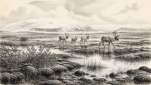
The plant and animal remains at Derryvree point to a cold, treeless, open setting usually described as tundra or periglacial wetland. “Periglacial” means a landscape shaped by severe cold near an ice margin, including repeated freezing and thawing, unstable soils and altered drainage; it does not mean that a glacier stood beside every pool. Freshwater organisms and aquatic plants show that water was present, while mosses, sedges, dwarf willow, mountain-avens and other low-growing plants indicate wet margins and exposed ground rather than forest.
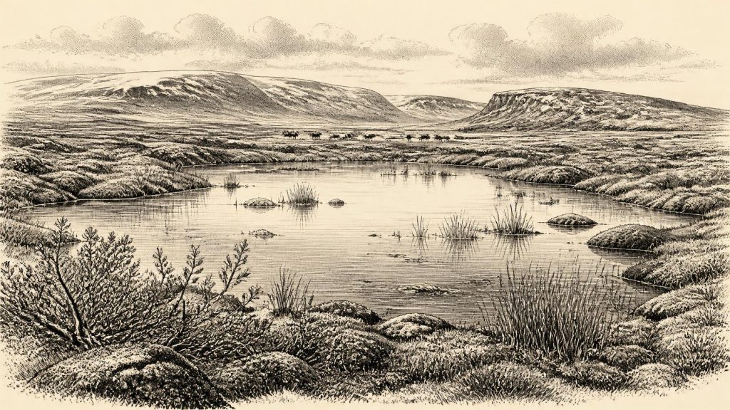
The evidence permits a vivid but bounded reconstruction. A shallow pool or slowly moving water lay amid sedgy, mossy ground, with small patches of vegetation taking advantage of a brief growing season. Insects and plants recorded conditions directly around that waterbody. The wider inference of a tundra-steppe mosaic is reasonable because the fossils, sediment and regional climatic evidence agree, but it remains an interpretation. Derryvree was not a photograph of an entire island. It does, however, show that parts of Ireland could sustain freshwater habitats and specialised cold-stage vegetation before the much more extensive ice conditions of the Last Glacial Maximum.
South-western Ireland contributes a different kind of environmental evidence. Uranium-thorium dating of broken and reworked cave calcite from Crag Cave, County Kerry, shows that speleothems formed episodically through much of the last glacial period when liquid water could circulate through the cave system. This accords with the broader picture of Marine Isotope Stage 3 as climatically unstable, marked by abrupt shifts rather than a single uninterrupted freeze. It should not be used to assign an exact temperature to Fermanagh in 30,643 BCE, but it reinforces the conclusion that Ireland’s Ice Age history involved major regional and chronological variation.
Animals and Moving Frontiers
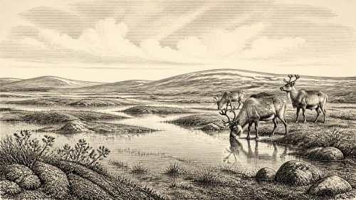
Irish cave deposits show that large mammals reached the island during broadly comparable phases of the Late Pleistocene. Castlepook Cave, near Doneraile in north County Cork, is particularly important. Its deposits and old museum collections have produced remains attributed to reindeer, woolly mammoth, giant deer, brown bear, wolf, fox and spotted hyena. These animals evoke an open, cold-climate world with substantial grazing opportunities and predators capable of exploiting it.
Yet the cave material demands caution. Many bones were accumulated over long periods, affected by carnivores, water and early excavation practices, and subsequently studied from museum collections rather than recovered from a modern, finely recorded excavation. A species list is not a census of one landscape. It does not show that mammoth, reindeer and hyena all lived beside the Derryvree wetland, or even that all were alive in Ireland at the same moment. The securely useful conclusion is more modest: Ireland was intermittently accessible to a varied Pleistocene fauna during this broad era, while climate and ice repeatedly altered habitats and routes.
A reindeer femur from Castlepook has become especially significant because Ruth Carden identified a deep mark interpreted as having been made by a sharp stone tool while fresh tissue was removed. The bone has been publicly dated to around 33,000 years ago and is often presented as evidence of human activity in Ireland roughly 31,000 BCE. If that interpretation is sustained, it would suggest that people handled a reindeer carcass in Ireland during the Upper Palaeolithic, far earlier than the island’s securely documented post-glacial settlement record.
But the distinction between evidence and interpretation is essential. The bone directly establishes the age of the animal; the human origin of the incision is a zooarchaeological judgement. It was not found with a dated hearth, stone-tool assemblage, built shelter, burial ground or occupation surface. Nor does a single marked bone establish a permanent population, a date of first arrival, a named culture, or continuity with later inhabitants. Around 30,643 BCE, possible human presence is an important research question, not a licence to populate Ireland with established villages or hunting societies.
No Kingdoms, No Known Networks
There is no evidence from this period for political communities, leaders, laws, diplomacy or organised warfare in Ireland. There are no written records, monuments, field systems, settlements, graves or artefact assemblages from which status, language or institutions can be reconstructed. For the same reason, religion, formal learning and artistic traditions cannot responsibly be described. It would be misleading to borrow the known rituals, tools or cave art of Upper Palaeolithic groups in Britain and continental Europe and treat them as Irish facts.
Economic life is similarly beyond direct recovery. Farming, herding, metalwork and trade are wholly unsupported for Ireland at this date. If the Castlepook mark was made by people, the narrowest defensible inference is carcass processing with a sharp stone implement. Mobile foraging would be a plausible way of life for such visitors, but it remains conditional. We do not know whether they crossed an exposed coastal plain, travelled along changing shorelines, arrived from Britain, or remained long enough to establish a camp. Lower global sea levels altered the geography of north-west Europe, but they did not automatically make Ireland a simple extension of the continent.
Conflict, therefore, can only be discussed in ecological terms. Large herbivores moved through landscapes shared with carnivores; winter cold, restricted plant growth, shifting watercourses and expanding ice imposed hazards more certain than any human rivalry. A carcass could have been contested by predators and scavengers. But this is not evidence for warfare, territorial alliances or diplomacy. The governing force in the available record is environmental instability.
An Island Approaching Change
The long-term setting gives Derryvree its wider significance. Ireland had not yet reached the later maximum of the last British-Irish Ice Sheet, generally dated to roughly 26,000–20,000 calibrated years before present, though the timing and reach of ice differed by region. Research on western Ireland also indicates that ice-sheet margins changed substantially before that later maximum. The old idea of a uniform, island-wide advance is inadequate: ice growth, local water, sea level and topography produced a more complicated sequence.
The Derryvree sediments preserve one moment within that complexity. Freshwater gathered in a hollow; plants and insects lived around it; organic matter accumulated; then ice or glacial processes returned and placed the record beyond ordinary reach. Its survival beneath a drumlin is a reminder that absence of evidence elsewhere need not mean absence of life. Later ice eroded, disturbed or buried much of the terrain on which animals—and perhaps people—might have moved.
For Ireland around 30,643 BCE, the most meaningful history is consequently not one of rulers or anniversaries. It is the history of a buried Fermanagh wetland, of cold-adapted vegetation, of large mammals recorded far to the south, and of an uncertain mark on a reindeer bone. Together, these traces reveal a real but difficult world: locally ice-free ground and fresh water within a severe climate, ecological opportunity under pressure, and a landscape on the threshold of further glacial transformation.
Primary Sources
- A Middle Midlandian Freshwater Series at Derryvree, Maguiresbridge, County Fermanagh, Northern Ireland
- Middle Midlandian Interstadial Deposits at Greenagho, Near Belcoo, County Fermanagh, Northern Ireland
- Freshwater Organic Deposits and Stratified Sediments Between Early and Late Midlandian (Devensian) Till Sheets, at Aghnadarragh, County Antrim, Northern Ireland
- Irish Pleistocene Biostratigraphy
- The Irish Quaternary Fauna Project
- A Reconsideration of the Radiocarbon Dating of the Marine Isotope Stage 3 Fauna from Southern Ireland
- Radiocarbon Constraints on the History of the Western Irish Ice Sheet Prior to the Last Glacial Maximum
- Growth and Retreat of the Last British–Irish Ice Sheet, 31,000 to 15,000 Years Ago: the BRITICE-CHRONO Reconstruction
- Episodic Speleothem Deposition Tracks the Terrestrial Impact of Millennial-Scale Last Glacial Climate Variability in SW Ireland
- The IntCal20 Northern Hemisphere Radiocarbon Age Calibration Curve (0–55 cal kBP)
- Trimlines, Blockfields and the Vertical Extent of the Last Ice Sheet in Southern Ireland
- Timing and Pace of Ice-Sheet Withdrawal Across the Marine–Terrestrial Transition West of Ireland During the Last Glaciation
- Advance and Retreat of the Marine-Terminating Irish Sea Ice Stream into the Celtic Sea During the Last Glacial: Timing and Maximum Extent
- New Data for the Last Glacial Maximum in Great Britain and Ireland
- Mammoth and Musk Ox ESR-Dated to the Early Midlandian at Aghnadarragh, County Antrim, Northern Ireland, and the Age of the Fermanagh Stadial
- Regional Pleistocene Geology
- Quaternary
- Ireland Through Geological Time
- Quaternary Geological Map of Ireland
- Heritage Artefacts of County Cork
- Reindeer Bone Found in Cork Cave Shows Human Activity in Ireland 33,000 Years Ago
- Quaternary Geomorphology Map Service