The Maguiresbridge Road Section31141 BCE
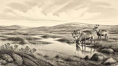
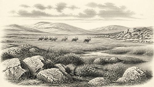
31,141 BCE is an imprecise label for a fluctuating MIS 3 cold-stage environment in Ireland. Evidence from Derryvree, County Fermanagh, reveals freshwater silts, wetland plants and northern insects between glacial tills, showing a local ice-free interval rather than island-wide conditions. Castlepook Cave, County Cork, preserves bones of mammoth, giant deer, reindeer, hyaena and other fauna, accumulated over long periods. These remains demonstrate intermittent habitable terrain but not simultaneous animal communities. No secure human settlement is known. A possibly cut-marked reindeer bone suggests tentative Upper Palaeolithic activity. Subsequent glaciation reshaped landscapes and erased evidence, leaving a dynamic, sparsely documented deep past.
Dateline
31,141 BCE is a modern chronological label, not a date that anyone living in Ireland could have known or recorded. It falls approximately 33,090 years before AD 1950, the conventional starting point for ‘Before Present’ dating, but that arithmetic conversion must not be mistaken for year-level archaeological precision. Around 33,000 calendar years ago, radiocarbon dates have substantial uncertainties, and a single numbered BCE year cannot be tied responsibly to a particular season, event, animal death or human visit.
The appropriate setting is the later part of the Last Glacial period, within Marine Isotope Stage 3 (MIS 3): a long, unstable cold phase before the Last Glacial Maximum. Ireland’s evidence from this remote period is exceptionally fragmentary. Later ice sheets eroded, transported and buried older deposits, while many cave finds were excavated before modern methods of recording sediments, contamination and stratigraphy existed. The history available for this point is therefore environmental and archaeological in the broadest sense. It concerns ice, water, plants, animals and the possibility of fleeting human presence, rather than named peoples or events.
Dating a Calendarless Landscape
Radiocarbon years and calendar years are not interchangeable. The amount of radioactive carbon in the atmosphere has varied over time, so radiocarbon determinations must be calibrated against independently dated records. Even then, a result usually produces a probability range rather than a precise year. This is especially important beyond 30,000 years ago, where calibration is necessarily less exact than for later prehistoric periods.
The nominal date is thus best treated as a waypoint within a broad interval. It lies before the best-reconstructed maximum extent of the last British–Irish Ice Sheet, which was reached around 27,000 years ago in many reconstructions. It also lies within a period when climate altered sharply over centuries and millennia, and when ice margins could expand or contract in response. It would be misleading to describe all Ireland as either ice-covered or ice-free in 31,141 BCE. The survival of different local deposits instead suggests a changing mosaic of glaciers, exposed ground, wetlands and cold open country across different times and regions.
Derryvree Beneath the Drumlin
The most instructive Irish evidence is the freshwater sequence uncovered during road works at Derryvree, near Maguiresbridge in County Fermanagh. In 1969, a cutting through a drumlin revealed organic silts and fine sands between two substantial sheets of glacial till. This was a remarkable discovery: the lower till showed that ice had previously occupied the site; freshwater sediment and organic material then accumulated during a non-glacial interval; and a later ice advance sealed the deposit beneath another till.
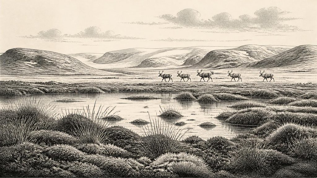
The intervening deposit contained remains of freshwater and wet-ground vegetation, including mosses and sedges, together with an insect fauna of cold northern character. These remains support the conclusion that there was standing or slow-moving freshwater, wet margins and sparse vegetation in the locality when the organic beds formed. They do not reveal a picturesque, continuous landscape across the island. Rather, they preserve a local ecological record from a rare window between episodes of glaciation.
Organic material from Derryvree produced a conventional radiocarbon age of about 30,500 radiocarbon years BP, with a large uncertainty. That determination places the deposit in the broad Middle Midlandian, or MIS 3, discussion, but it cannot be converted casually into a single calendar year. Nor can it prove that the wetland existed precisely in 31,141 BCE. Its value is different and greater: it demonstrates that a cold freshwater environment, capable of sustaining plant and insect communities, existed in part of Ireland during this wider late-Pleistocene interval.
Even the deeper history of the Derryvree section remains open to revision. Work at Aghnadarragh in County Antrim has challenged older assumptions about the age of some ‘Fermanagh Stadial’ deposits. This is a salutary warning against turning a useful regional sequence into a rigid timetable. Glacial stratigraphy records an order of events very effectively, but dates and correlations may change as methods improve.
An Island of Cold-Stage Fauna
Southern Irish cave deposits provide a second kind of evidence. Castlepook Cave, near Doneraile in County Cork, is the island’s richest known repository of vertebrate remains from the period leading up to the Last Glacial Maximum. Its assemblage includes woolly mammoth, giant deer, reindeer, brown bear and spotted hyaena; later cold-stage material includes Arctic fox, wolf and lemmings. These finds show that Ireland was not simply an empty frozen margin throughout MIS 3. At intervals, sufficiently connected and habitable terrain existed for large mammals and their predators.
Yet the cave must not be read as a census taken on one day. More than two thousand bones accumulated there across a long span, through animal deaths, carnivore activity, water movement and disturbance. Spotted hyaenas may themselves have carried some bones into the cave. Re-dating with improved methods has shown that several earlier Irish cave radiocarbon results were too young, in some cases by thousands of years. The responsible conclusion is that various animals occupied Ireland at different points during the late Ice Age, not that every species listed from Castlepook grazed or hunted together around this particular nominal year.
The animal evidence nevertheless gives the period a tangible character. Reindeer and lemmings indicate severe, open conditions; mammoths and giant deer evoke large-herbivore movement across landscapes that were very unlike later wooded Ireland; hyaenas and wolves indicate predators and scavengers operating within those food webs. Their presence depended on access routes that changed with sea level, ice and climate. Lower seas may have narrowed or altered crossings between Ireland, Britain and the continent, but the exact routes available at any one moment remain uncertain.
The Human Question
There is no securely documented settlement, hearth, tool assemblage or burial in Ireland that can be assigned to 31,141 BCE. Consequently, there is no sound basis for describing a resident population, family group, language, political authority or ritual practice. In particular, nothing in the evidence supports claims about tribes, diplomacy, territorial boundaries, warfare, trade networks, religion, art or formal learning on the island at this date.
A reindeer femur from Castlepook has been reported as bearing a deep linear modification interpreted as a possible stone-tool cut, and has been associated with an age of roughly 33,000 years ago. If that interpretation and chronology are sustained, it would indicate that people processed a reindeer carcass in Ireland during the Upper Palaeolithic, vastly earlier than the formerly accepted evidence for human activity. But it remains an isolated and difficult find from a complex cave history, not proof of a settled community. It should be understood as a significant archaeological question, rather than transformed into a detailed narrative of Ireland’s first inhabitants.
Life, Economy and Belief: What Cannot Be Recovered
For people, if any were present, survival would have depended on mobility, knowledge of animal behaviour, shelter, fire, clothing and stone tools. Such statements are reasonable general inferences from Upper Palaeolithic lifeways elsewhere in north-west Europe; they are not direct observations from Ireland. No Irish evidence of this age presently identifies dwellings, campsites, food stores, exchange goods or ceremonial places. Nor can archaeologists determine whether visits were seasonal, repeated, accidental or part of wider movements through the lands now divided by the Irish Sea.
The same restraint applies to society. There were no states, kingdoms, farms, towns or written institutions that can be detected in the Irish record of this period. ‘Economy’ can only mean the ecological relationships that made life possible: herbivores feeding in cold open habitats, carnivores and scavengers exploiting them, and perhaps occasional humans using animal resources. ‘Culture’ survives, at most, in the debated mark on a bone and in the possibility of lost or undiscovered stone artefacts. Religious belief and oral knowledge may have existed among any visiting people, but neither can be recovered from the present Irish evidence.
A Record of Change
The overriding development around this notional year was environmental instability. Derryvree’s buried wetland records a pause between ice advances; Castlepook’s animal bones record a faunal world that later glaciation and changing climate largely removed. The ice sheets that subsequently reached their great extent reshaped landforms, stripped deposits and helped create the archaeological silence that confronts historians today.
For Ireland in 31,141 BCE, then, the most defensible history is not a story of rulers or battles. It is the history of a cold, changing island-edge environment: wet hollows beneath Fermanagh’s future drumlins, open country capable at times of supporting remarkable Ice Age mammals, and a tentative possibility that humans briefly entered this demanding landscape. The evidence is sparse, but it is enough to show that Ireland’s deep past was dynamic long before its later human communities became archaeologically visible.
Primary Sources
- A Middle Midlandian Freshwater Series at Derryvree, Maguiresbridge, County Fermanagh, Northern Ireland
- Early Midlandian–Middle Midlandian, Pleistocene, Northern Ireland
- A Reconsideration of the Radiocarbon Dating of the Marine Isotope Stage 3 Fauna from Southern Ireland
- The Irish Quaternary Fauna Project
- Castlepook Cave: County Geological Site Report
- New Insights on the Fauna of Ireland's Younger Dryas and Early Holocene from Alice & Gwendoline Cave
- Freshwater Organic Deposits and Stratified Sediments Between Early and Late Midlandian (Devensian) Till Sheets, at Aghnadarragh, County Antrim, Northern Ireland
- Mammoth and Musk Ox ESR-Dated to the Early Midlandian at Aghnadarragh, County Antrim, Northern Ireland, and the Age of the Fermanagh Stadial
- Pattern and Timing of Retreat of the Last British-Irish Ice Sheet
- Growth and Retreat of the Last British–Irish Ice Sheet, 31,000 to 15,000 Years Ago: the BRITICE-CHRONO Reconstruction
- BRITICE-CHRONO Maps and GIS Data of the Last British-Irish Ice Sheet 31 to 15 ka
- The Last Eurasian Ice Sheets – a Chronological Database and Time-Slice Reconstruction, DATED-1
- New Data for the Last Glacial Maximum in Great Britain and Ireland
- The IntCal20 Northern Hemisphere Radiocarbon Age Calibration Curve (0–55 cal kBP)
- OxCal: Online Radiocarbon Calibration
- Geology of Ireland
- Quaternary Data and Maps
- The Subdivision of the Quaternary Period in Ireland
- 2022:564 – Castlepook Cave, Castlepook South, Cork
- Ireland's Palaeolithic Archaeology – Fleeting Footprints in a Frozen Land