BIRM-166 and Open Water30744 BCE
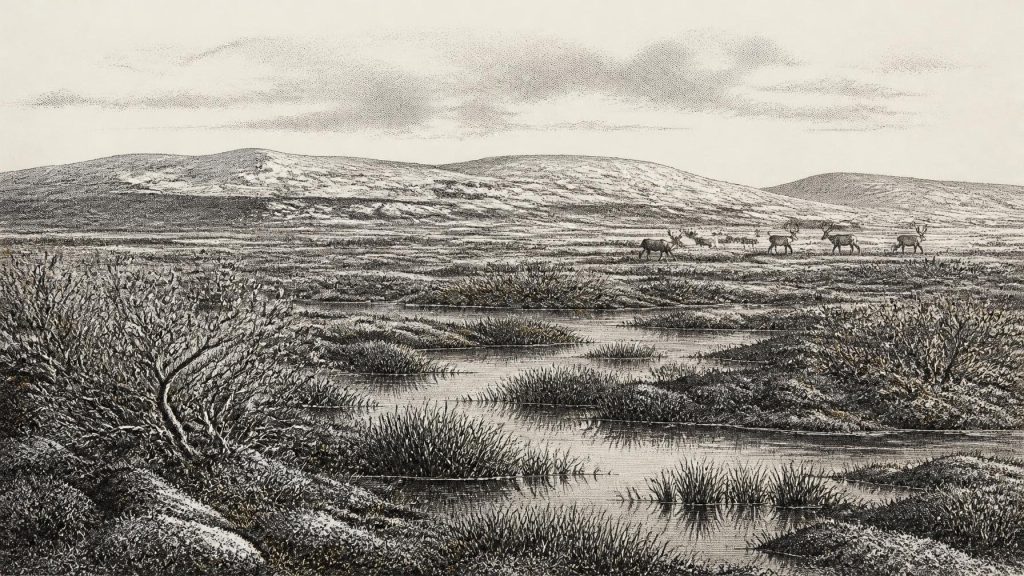
Thirty thousand seven hundred and forty-four BCE is a notional filing point within Marine Isotope Stage 3, not a dated event. Derryvree, County Fermanagh, preserves freshwater organic sediments between glacial tills, radiocarbon-dated broadly to 36,900–31,700 calibrated years BP. Its pollen, plants, insects and bogbean seed indicate cold, open, treeless wetland with pools, sedges, mosses and Arctic-alpine vegetation. Castlepook Cave, County Cork, records a time-averaged pre-Last Glacial Maximum fauna including mammoth, giant deer, reindeer, bear and hyaena. Ireland’s ice, coastlines and habitats fluctuated greatly. Human presence remains unproven for this period, despite a possible cut-marked bone; later glaciation destroyed much evidence.
Dateline
Modern calendar-year precision is not available for Ireland at this depth in time. “30,744 BCE” is therefore a filing point, not a date on which an identifiable Irish event occurred. It falls roughly 32,700 years before AD 1950, within the later Pleistocene, during Marine Isotope Stage 3 (MIS 3), a prolonged and highly unstable phase of the last Ice Age. The responsible history of Ireland at this point is not one of named rulers, battles or settlements. It is a history reconstructed from sediments, fossil plants, insects, animal bones and the changing reach of ice.
The closest Irish environmental evidence is the Derryvree freshwater deposit near Maguiresbridge, County Fermanagh. Its conventional radiocarbon measurement, BIRM-166, was reported as 30,500 +1,170/−1,030 radiocarbon years BP. Calibration does not convert that result into one precise BC year: it gives a broad calendar range, commonly treated as approximately 36,900–31,700 calibrated years BP. That range overlaps the notional year used here, but the deposit accumulated over time and cannot describe the weather, fauna or people of a single year. It is best understood as a rare local window onto Ireland’s cold, intermittently ice-free landscapes before the Last Glacial Maximum.
A Freshwater Layer Between Glaciers
Derryvree was exposed during road works in 1969, when a cutting passed through a drumlin: one of the streamlined hills of till that now characterise much of Fermanagh. Beneath and above the organic sediments lay separate till sheets, unsorted mixtures of clay, stones and debris deposited by glacier ice. Between them were fine sands, silts and organic material formed in fresh water and wet ground. The sequence establishes an important fact. Ice had occupied this locality, then an interval existed in which water, plants and small animals could flourish, and later ice or ice-derived sediment sealed the record.
This is evidence for a changing landscape, not for a permanently ice-free Ireland. The extent, thickness and timing of the British–Irish Ice Sheet during MIS 3 remain subjects of active research. Recent synthesis suggests that ice sheets had already grown and fluctuated before the better-dated maximum of the last glaciation, while the exact pattern of advances and retreats around Ireland was strongly regional. Derryvree proves an ice-free freshwater setting at one place during its dated interval; it does not provide a map of the whole island or a fixed coastline for 30,744 BCE.
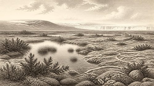
The landscape around the deposit was periglacial: shaped by severe cold and by repeated freezing and thawing near an ice margin, rather than necessarily lying beneath glacier ice. Its soils would have been unstable and seasonally waterlogged. Frost heave, snow cover, meltwater and wind-blown sediment all mattered. Long, hard winters restricted growth, but the short summer could support intense biological activity in sheltered wet hollows. The familiar wooded Ireland of oak, hazel and ash lay far in the future.
Mosses, Sedges and Shallow Pools
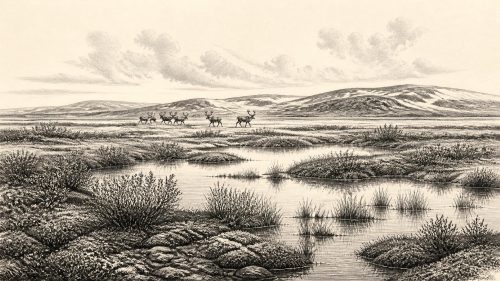
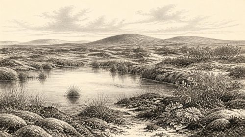
Pollen, plant macrofossils, mosses and insects from Derryvree support a picture of open, treeless or nearly treeless tundra-like wetland. Grasses, sedges and herbaceous plants were important; moss-rich ground and plant-filled pools formed parts of a muskeg landscape, a mosaic of saturated soils, shallow water and low vegetation. A fossil seed of bogbean, Menyanthes trifoliata, is especially telling. Bogbean grows at freshwater margins and in wet ground, so its presence confirms that the cold climate did not eliminate local open water or wetland plant communities.
Other botanical evidence includes plants associated with Arctic or alpine conditions, such as mountain-avens, dwarf willow and juniper. These remains should not be turned into an overly tidy reconstruction. Pollen can travel far, and occasional grains of pine or hazel are not good evidence for nearby woodland; some may have travelled long distances or been reworked from older deposits. The strongest conclusion is narrower and more secure: the Fermanagh locality supported open vegetation, wet ground and freshwater habitats in a harsh seasonal climate.
This was an ecology of margins. Vegetation was likely densest in protected, moist places and thinner on exposed ground. Water channels and pools could attract insects, birds and grazing animals, while the plants provided brief summer fodder. Yet food availability would have been sharply seasonal. There is no evidence of cultivation, fields, domestic livestock, pottery, built monuments or managed woodland. In economic terms, the record reveals an ecological economy of wild plants and animals, not a human farming economy.
Castlepook’s Mammal World
For the larger animal world, the key Irish site is Castlepook Cave near Doneraile in north County Cork. Excavations there recovered more than 2,000 bones from a cave system whose chambers acquired memorable nineteenth-century names including Elephant Hall and Hyena Hall. The deposits contain material of more than one age and were disturbed by water, cave processes and earlier excavation. They must therefore be treated as a time-averaged archive rather than the contents of one occupation floor.
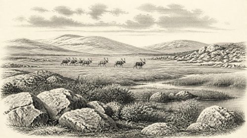
Even with that caution, Castlepook demonstrates that pre-Last Glacial Maximum Ireland supported a strikingly varied cold-stage fauna. Its assemblage includes woolly mammoth, giant deer, reindeer, brown bear and spotted hyaena; later material includes Arctic fox, wolf, Norwegian lemming and collared lemming. Improved ultrafiltration radiocarbon dating has revised the age of several bones substantially older than earlier measurements suggested. The reassessment indicates that some animals, notably giant deer and spotted hyaena, may have disappeared locally before the Last Glacial Maximum, perhaps around 40,000 calibrated years BP.
That matters for the present horizon. Ireland was not simply a barren block of ice throughout the later Pleistocene. At favourable intervals, parts of its landmass supported herbivores and their predators or scavengers. Mammoth, reindeer and giant deer point towards broadly open grazing country; hyaenas and wolves signal a food web large enough to sustain carnivores. But neither cave fauna nor Derryvree’s wetland proves that every listed species lived beside the Fermanagh pools, or survived into the precise calendar label of 30,744 BCE. The evidence establishes regional possibilities over long spans, not a census for a single season.
People: A Necessary Silence
Political affairs, diplomacy and organised conflict leave no trace at this date because there is no demonstrated Irish society from which to reconstruct them. Nor is there secure evidence for permanent settlement, houses, hearths, a stone-tool industry, burials, art or ritual places in Ireland around this point. Any account that speaks of tribes, leaders, trading partners or religious beliefs would be invention.
There is, however, a reason scholars remain alert to the question of human presence. Upper Palaeolithic people lived elsewhere in north-west Europe during MIS 3, and low global sea levels changed the shape of surrounding seas and shelves. Ireland’s relation to Britain and continental Europe was nevertheless complex: lowered seas did not automatically produce a simple, proven land bridge usable at every stage. Ice, marine channels, changing coastlines and difficult terrain all affected movement. Much potential evidence may also have been erased by later glaciation or now lie beneath the sea.
A reindeer femur from Castlepook has been reported to bear an incision interpreted as consistent with a sharp tool used on fresh bone. If that interpretation and its association are ultimately upheld, it could indicate a brief human encounter with a carcass in Ireland during the wider MIS 3 interval. It does not demonstrate a settlement, a population or a continuous occupation. The better-supported terminal Pleistocene evidence of human activity in Ireland is much later, at Alice and Gwendoline Cave in County Clare, where a butchered brown-bear bone dates to around 12,800–12,590 calibrated years BP. The gap itself is historically significant: it marks how little direct human evidence has survived from the older Ice Age island.
An Island in Motion
There was no Ireland in the political sense, but there was a changing Irish landmass. Ice loading depressed the crust, sea level was globally lower than today, and the position of shorelines changed through the interaction of ocean volume, local uplift or depression, and glacier advance. The modern coastline should not be projected backwards. Yet neither should maps of exposed continental shelves be treated as certain routes for people or animals. The palaeogeography of the Irish Sea was dynamic, and direct archaeological evidence for MIS 3 movement remains absent.
The important development around this broad date was environmental instability. Cold phases, modest ameliorations, advancing ice and local ice-free refuges repeatedly altered where vegetation could grow and where animals could range. Derryvree’s freshwater sediments show that a living wetland could persist between glacial episodes. Castlepook shows that large mammals, including formidable predators, reached Ireland during the wider pre-maximum interval. Later ice expansion would bury, scour and fragment many such landscapes, helping explain why their traces are so scarce.
Accordingly, 30,744 BCE should not be imagined as a lost year of kingship or a vanished village. It belongs instead to a long, uneven chapter in which Ireland was intermittently habitable for cold-adapted plants and animals, while its human history remains unproven. The real protagonists are the silts at Derryvree, the fossil seed of bogbean, the bones in a Cork cave and the glaciers that both created and destroyed the evidence.
Primary Sources
- A Middle Midlandian Freshwater Series at Derryvree, Maguiresbridge, County Fermanagh, Northern Ireland
- Palaeoecology: Field Guide No. 16
- Early Midlandian–Middle Midlandian, Pleistocene, Northern Ireland
- Irish Pleistocene Biostratigraphy
- The Irish Quaternary Fauna Project
- A Reconsideration of the Radiocarbon Dating of the Marine Isotope Stage 3 Fauna from Southern Ireland
- Castlepook Cave: County Geological Site Report
- New Insights on the Fauna of Ireland’s Younger Dryas and Early Holocene from Alice & Gwendoline Cave
- Late Pleistocene Chronostratigraphy and Ice Sheet Limits, Southern Ireland
- The Timing and Magnitude of the British–Irish Ice Sheet Between Marine Isotope Stages 5d and 2
- BRITICE Glacial Map, Version 2: A Map and GIS Database of Glacial Landforms of the Last British–Irish Ice Sheet
- Exploring Controls of the Early and Stepped Deglaciation on the Western Margin of the British Irish Ice Sheet
- Trimlines, Blockfields and the Vertical Extent of the Last Ice Sheet in Southern Ireland
- Dimensions and Chronology of the Last Ice Sheet in Western Ireland
- Ireland: Submerged Prehistoric Sites and Landscapes
- The Mesolithic in Ireland: When Was It?
- The Antiquity of Man in Ireland
- Archaeological Excavations at Killuragh Cave, Co. Limerick
- Menyanthes trifoliata: Fossil Record in Fermanagh
- The Geological Heritage of County Leitrim