Derryvree’s Freshwater Lens30376 BCE
Around 30,376 BCE, Ireland lay within the climatically unstable Late Pleistocene, not a world of documented communities or events. At Derryvree, County Fermanagh, freshwater silts and organic deposits between glacial tills reveal an ice-free interval, supporting treeless tundra wetland, mosses, sedges and hardy plants before later glaciers covered the site. Castlepook Cave, County Cork, preserves diverse cold-stage fauna, including mammoth, reindeer, giant deer, predators and smaller mammals. A modified reindeer bone may suggest human activity, but evidence remains uncertain. No reliable evidence identifies settlements, polities, trade or culture; surviving local archives chiefly record changing landscapes, ecosystems and recurring ice advance.
Dateline
The label 30,376 BCE is a modern way of placing a point far back in the Late Pleistocene; it is not a date that anyone then living in Ireland could have recognised. No Irish written record, annual sediment sequence, settlement layer or historical event can be fixed to that particular year. In radiocarbon terms it lies roughly 32,300 calendar years before present, but even that conversion is only an approximation. At this depth of time, evidence is normally expressed as calibrated ranges, with substantial uncertainty. The responsible history of Ireland at this horizon is therefore not a narrative of named people or events, but an account of a cold, changing landscape and the scattered deposits that preserve fragments of it.
A Late Pleistocene Island
Around this broad period Ireland belonged to the later part of Marine Isotope Stage 3, a long and climatically unstable phase before the Last Glacial Maximum. Temperatures did not simply decline in a smooth line towards the greatest ice extent. North Atlantic climates fluctuated sharply over millennia, with relatively milder interstadials alternating with severe cold episodes. Evidence from Crag Cave in County Kerry is especially valuable because stalagmite growth requires liquid water and conditions generally above freezing in the cave environment. Its interrupted growth history shows that south-west Ireland experienced episodes of amelioration during the last glacial period, rather than remaining uniformly frozen.
That does not mean a hospitable, wooded Ireland. The closest well-studied terrestrial evidence is at Derryvree, near Maguiresbridge in County Fermanagh. Roadworks in 1969 cut through a drumlin and exposed freshwater silts and fine sands lying between two thick bodies of glacial till. The organic layer was later given the laboratory number BIRM-166 and produced a conventional radiocarbon determination of 30,500 years BP, with an uncertainty of roughly a millennium either side. Calibration has been expressed in broad ranges rather than as a single calendar year; one later discussion gives approximately 36,900–31,700 calibrated years BP. The modern year 30,376 BCE may fall near the younger end of that wide interval, but it cannot be matched confidently to a particular bed, season or generation.
The stratigraphy is the essential point. The freshwater deposit demonstrates that the Derryvree locality was ice-free while the silts accumulated. Its enclosing tills demonstrate that glaciers had advanced across the same ground before and afterwards. This is strong local evidence against the simple picture of an Ireland buried continuously beneath ice throughout the whole late-glacial era. It is not proof that every region of the island was simultaneously open, nor that the island’s coasts, uplands and interior all shared one climate. Ice-sheet margins shifted, and the evidence that survived is unevenly distributed because later ice erosion destroyed or disturbed much older ground surfaces.
Wet Ground Beneath Later Ice
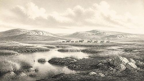
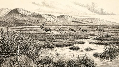
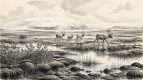
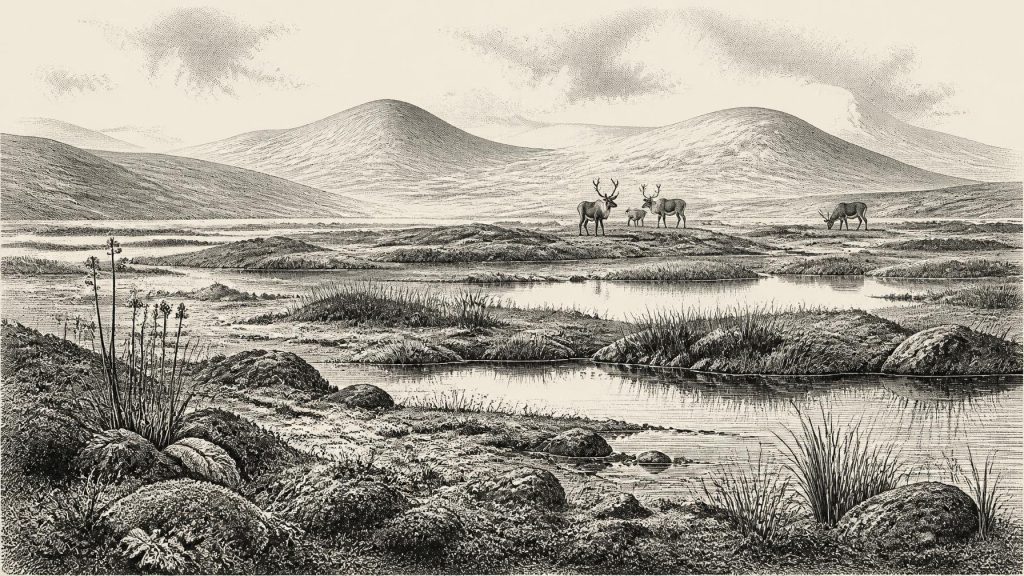
Derryvree’s organic deposits describe a treeless, periglacial wetland rather than a forest or farmland. Pollen was poorly preserved, but plant macrofossils and moss remains indicate an open tundra-like vegetation, with freshwater and waterlogged ground close by. The Irish Quaternary Association’s field account characterises the setting as muskeg: a cold, boggy mosaic of shallow water, saturated sediment, mosses, sedges and hardy herbaceous plants. Such a landscape could support brief summers of biological activity while still enduring long, hard winters, frost action and sparse dry-land cover.
This distinction matters for everyday life, even though no human household has been found at Derryvree. The available evidence records ecological conditions, not a village. There are no houses, hearths, stone-tool scatters, burials, cultivated fields or rubbish deposits from this exact horizon. Nor can the silts identify a stable shoreline, a route of travel or the population of any animal species. They do show that some parts of north-central Ireland possessed freshwater habitats and plant communities during an interval later erased from the surface by glacial overriding. A seasonally productive wetland would have differed profoundly from an ice sheet, but it was still a demanding cold-stage environment.
The broader geological sequence points towards increasing instability. Models of the British–Irish Ice Sheet place the major build-up and maximum much later, with the last maximum advance of the Irish Ice Sheet occurring broadly between about 27,000 and 23,000 calibrated years ago. At 30,376 BCE, therefore, Ireland was not yet at that later maximum. Yet the Derryvree sequence warns against imagining a secure climatic refuge: its wetland was ultimately buried beneath a subsequent till sheet. The drumlin landscape familiar in Fermanagh today is, in part, the result of those later phases of ice movement and sediment reshaping.
Animals and the Cork Caves
County Cork provides a different kind of evidence. Castlepook Cave, near Doneraile and also known as Mammoth Cave, has yielded Ireland’s richest assemblage of Late Pleistocene vertebrate remains. Excavations and later reassessment identified bones of woolly mammoth, reindeer, giant deer, brown bear, spotted hyena, wolf, Arctic fox, hare and small cold-adapted mammals. The assemblage shows that Ireland was at times connected ecologically to the wider north-west European world: large mammals and their predators could reach suitable habitats, whether by changing land and coastal configurations or across whatever barriers conditions allowed.
Those cave remains cannot be treated as a photograph of Ireland in 30,376 BCE. They accumulated over long spans of time, and many were recovered in nineteenth- and early twentieth-century excavations whose stratigraphic records are limited by modern standards. Direct radiocarbon dates nevertheless show that several animals occupied Ireland before the Last Glacial Maximum. A reindeer bone from Castlepook was dated to 33,630 ± 790 radiocarbon years BP; other dated material confirms that the cave’s fauna belongs to several episodes rather than one moment. The presence of a species in the cave demonstrates that it lived in, or reached, Ireland during a dated range. It does not establish continuous residence across the island.
The cave also frames the difficult question of people. A reindeer femur from Castlepook has been reported as bearing a deep modification interpreted as a fresh-bone cut or chop made with a stone implement. If that interpretation is upheld, it may indicate a fleeting Upper Palaeolithic episode of carcass processing in Ireland far earlier than the better-known terminal-Pleistocene evidence from County Clare. But the bone’s radiocarbon age, the identification of the mark, and the old collection’s disturbed context are separate evidential questions. It cannot be made into proof of a settled community, a hunting party’s identity, or an event in 30,376 BCE. The cautious conclusion is that human presence in pre-maximum Ireland remains possible and important, but exceptionally slight.
No Polities, No Proven Trade
Political affairs, diplomacy and organised warfare are beyond the reach of the evidence. There are no known rulers, territories, tribes, treaties, weapons assemblages or fortified places attributable to this Irish horizon. It would be misleading to project later ideas of Irish peoples, kingdoms or national identity onto a landscape tens of millennia before agriculture, metalworking and writing. Likewise, there is no secure evidence for trade networks. Animal movement and environmental connection with Britain and continental Europe should not be confused with exchange between human communities.
Religion, art and learning are equally undocumented in Ireland at this date. Continental Europe preserves Upper Palaeolithic caves, figurines, ornaments and elaborate stone technologies, demonstrating the cultural capacities of Homo sapiens elsewhere. None provides evidence that such practices occurred in Ireland in this particular period. The absence of Irish material may partly reflect later glaciation, changing coastlines and the rarity of surviving deposits, but absence is not permission to fill the gap with imagined rituals or lost settlements. Ireland’s archaeological record must be allowed to remain thin where it is thin.
The economy that can responsibly be described is ecological rather than social. Plants converted the short growing season into biomass; herbivores such as reindeer and giant deer could exploit open habitats; predators and scavengers, including hyenas in the Castlepook record, fed within the same food web. Mammoths and reindeer are not evidence that every valley was a classic ‘mammoth-steppe’, nor are they proof of coexisting human hunters. They indicate a fauna very different from later historic Ireland, one able to occupy cold, open landscapes during favourable intervals.
A Date as a Window
For Ireland around 30,376 BCE, the greatest development was environmental: survival and transformation at the edge of recurrent glaciation. Derryvree preserves a remarkable freshwater lens between tills, recording cold wetlands and tundra vegetation in Fermanagh before later ice sealed the evidence. Castlepook preserves the bones of an unexpectedly diverse Ice Age fauna in Cork, and perhaps a tantalising but unresolved trace of human activity. Together, they replace an empty blank on the map with a qualified picture of open ground, wet hollows, hardy plants and mobile animals.
That picture remains deliberately bounded. It is not a history of an Irish nation, nor even a history of a permanent human population. It is the history of a landscape whose archives are fragmentary, local and often buried beneath the products of later glaciers. Modern calendar precision gives the year a neat appearance; the archaeology does not. What can be said with confidence is that this was an age in which parts of Ireland could be ice-free, cold and biologically active—and in which the approaching expansion of ice would repeatedly remake both the land and the chances of preserving its past.
Primary Sources
- A Middle Midlandian Freshwater Series at Derryvree, Maguiresbridge, County Fermanagh, Northern Ireland
- Exploring Controls of the Early and Stepped Deglaciation on the Western Margin of the British Irish Ice Sheet
- Palaeoecology
- Figure 6.— The Subdivision of the Quaternary Period in Ireland
- The Irish Quaternary Fauna Project
- Occurrence of Mammalia Relicts at Site Castlepook Cave
- The Exploration of Castlepook Cave, County Cork
- Heritage Artefacts of County Cork
- First Evidence of a Late Upper Palaeolithic Human Presence in Ireland
- First Evidence of a Late Upper Palaeolithic Human Presence in Ireland
- New Insights on the Fauna of Ireland’s Younger Dryas and Early Holocene from Alice & Gwendoline Cave
- The IntCal20 Northern Hemisphere Radiocarbon Age Calibration Curve (0–55 cal kBP)
- The IntCal20 Northern Hemisphere Radiocarbon Age Calibration Curve (0–55 cal kBP)
- Episodic Speleothem Deposition Tracks the Terrestrial Impact of Millennial-Scale Last Glacial Climate Variability in SW Ireland
- Response of the Irish Ice Sheet to Abrupt Climate Change During the Last Deglaciation
- Pattern and Timing of Retreat of the Last British-Irish Ice Sheet
- Last Glacial Maximum Cirque Glaciation in Ireland and Implications for Reconstructions of the Irish Ice Sheet
- Trimlines, Blockfields and the Vertical Extent of the Last Ice Sheet in Southern Ireland
- Timing and Pace of Ice-Sheet Withdrawal Across the Marine–Terrestrial Transition West of Ireland During the Last Glaciation
- Sedimentology and Chronology of the Advance and Retreat of the Last British-Irish Ice Sheet on the Continental Shelf West of Ireland
- Introduction to the Late Quaternary and Holocene of Northern Ireland
- Field Guides