Fossil Flora31426 BCE
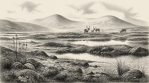
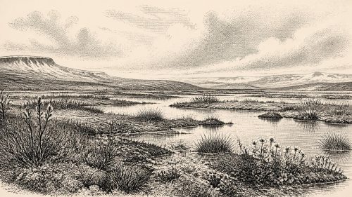
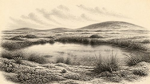
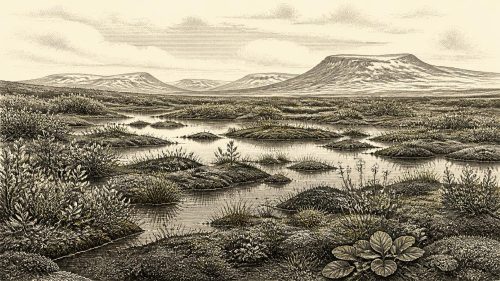
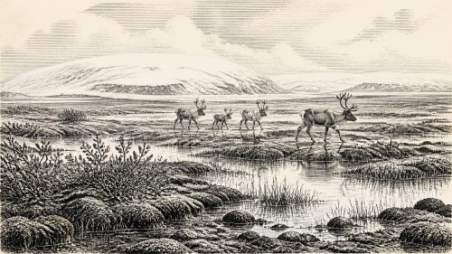
Around 31,426 BCE, Ireland’s history is environmental rather than political. Derryvree, County Fermanagh, preserves freshwater organic sediments between glacial tills, indicating a cold, treeless, periglacial wetland with dwarf willow, bogbean, sedges, mosses and shallow pools. Its broad radiocarbon range prevents precise annual reconstruction. Climatic conditions during Marine Isotope Stage 3 fluctuated sharply, while Crag Cave records intermittent milder phases. Castlepook Cave demonstrates that mammoth, reindeer, giant deer, bears and hyaenas occurred in Ireland during this wider period. A possibly butchered reindeer bone suggests fleeting human presence, but no settlement evidence exists. Growing ice sheets created changing, uncertain routes and refuges.
Dateline
A Date Beyond Annals
31,426 BCE is a modern label imposed on a time far beyond written history. No Irish community counted years in this way, and no excavation can identify an event, a ruler or a season within this particular twelve-month interval. In calendar arithmetic it falls about 33,375 years before AD 1950, during the Late Pleistocene and Marine Isotope Stage 3 (MIS 3), but that conversion must not be mistaken for archaeological precision. The most relevant Irish evidence is dated in broad ranges: the key Derryvree organic deposit has a conventional radiocarbon age of 30,500 +1,170/−1,030 BP, now calibrated approximately to 36,900–31,700 cal BP. Thus this notional year lies within the range illuminated by the deposit, not at a discernible moment inside it.
The appropriate subject, then, is not an invented episode in Irish national history but a changing Ice Age landscape. Around this point Ireland had neither known states nor documentary institutions, kings nor named peoples. Archaeology provides no evidence for political assemblies, diplomacy, organised warfare, religious observance, formal learning or trade networks on the island at this date. Such absences should be stated plainly rather than filled with familiar prehistoric stereotypes. What can be responsibly recovered is a local environmental history, fragments of animal life, and a carefully qualified possibility that humans may occasionally have reached this far north-western edge of Upper Palaeolithic Europe.
Freshwater Under a Drumlin
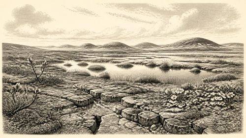
The strongest evidence comes from Derryvree townland, about two kilometres north-east of Maguiresbridge in County Fermanagh. Roadworks in 1969 cut through a drumlin and exposed a remarkable sequence: freshwater silts and fine sands, rich in organic material, trapped between two separate sheets of till. Till is sediment laid down directly by glacier ice. The sequence therefore preserves a period when liquid water, sediments, plants and animals occupied this locality after one phase of glaciation and before a later ice advance buried the evidence. It does not prove that all Ireland was ice-free at once. It demonstrates an ice-free terrestrial and wetland setting at Derryvree during a broad interval of the Middle Midlandian, the regional term long used for this part of the last glacial cycle.
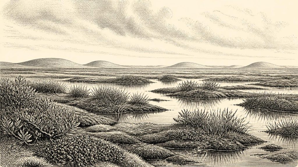
Derryvree is especially valuable precisely because subsequent ice and erosion destroyed or displaced so much older evidence. Its organic layers preserve pollen, plant macrofossils, mosses and insects rather than buildings or tools. Together they indicate open, treeless vegetation and a periglacial regime: harsh cold, repeated freezing and thawing, and ground close to an ice-margin climate but not buried beneath ice. This was no familiar green island of woodland and pasture. Grasses, sedges, herbs, mosses and low Arctic-alpine plants grew around wet ground and shallow pools. Fossil evidence includes dwarf willow and bogbean, plants that help make the deposit legible as a cold, water-influenced tundra or muskeg landscape.
Cold, But Not Still
The term “Ice Age” can falsely suggest an unchanging white wilderness. MIS 3 was climatically volatile. Greenland ice-core records distinguish sharp shifts between colder stadials and relatively milder interstadials; around the calendar equivalent of 31,426 BCE, a correlation with those records approaches the transition out of Greenland Interstadial 6 and into a colder phase. Yet the uncertainty in the long ice-core chronology and, more importantly, the breadth of the Irish radiocarbon range forbid an annual match between a Greenland signal and Derryvree. The defensible conclusion is broader: Ireland’s environment was subject to abrupt millennial-scale climatic variation, and Derryvree records one cold, open interval within that unstable world.
Crag Cave in County Kerry offers independent support for this variability, though not a direct record of Derryvree’s particular landscape. Uranium-thorium dating of broken and reworked cave calcite shows that speleothems formed episodically in south-west Ireland through MIS 3. Because shallow-cave calcite formation requires circulating liquid water and conditions generally above freezing, these pulses indicate repeated environmental amelioration. Their broad correspondence with Greenland interstadials shows that Irish climates could change substantially within the wider cold stage. Derryvree’s wetland and Crag Cave’s calcite should not be merged into a single island-wide scene, but together they rule out a simplistic picture of constant, uniform glaciation.
Animals and Ecological Connections
Animal remains from southern Irish caves show that the island supported, at various points in MIS 3, a considerably richer large-mammal community than the later historic fauna. Castlepook Cave, near Doneraile in north Cork, is the crucial site. Its dated bones span a long interval before and after the Last Glacial Maximum; its Ice Age assemblage includes woolly mammoth, giant deer, reindeer, brown bear and spotted hyaena, while later cold-stage deposits include Arctic fox, wolf and lemmings. These finds do not demonstrate that every species stood at Derryvree in 31,426 BCE. They establish, rather, that cold-open habitats in Ireland could form part of wider north-west European faunal ranges during the relevant climatic era.
Castlepook also warns against treating cave bones as a simple census of the living countryside. A cave can be a carnivore den, a trap, a shelter, a place into which water moves material, or a repository accumulated in more than one period. Spotted hyaenas almost certainly influenced how some bones entered Castlepook. Modern re-dating has also shown that several older Irish radiocarbon determinations underestimated the age of bones by thousands of years, largely because improved pretreatment methods now remove contaminants more effectively. The revised evidence pushes some southern Irish fauna firmly into MIS 3 and suggests that giant deer and spotted hyaena may have disappeared locally before the Last Glacial Maximum. It also makes caution, not certainty, the proper response to every apparently neat date.
People: A Possibility, Not a Population
A reindeer femur from Castlepook has recently been presented as bearing a deep mark consistent with butchery by a stone tool and as dating to roughly 33,000 years ago. If that interpretation is sustained, it would be important evidence that a person handled an animal in Ireland within the broad chronological neighbourhood of this article’s date. It would not establish a permanent settlement, a named culture, a family group, or continuous occupation. There is no securely associated hearth, stone-tool assemblage, dwelling, burial, food store or living surface from Ireland at c. 33,375 cal BP. Nor does one bone reveal whether visitors arrived for a short hunt, scavenged a carcass, or made repeated seasonal journeys. The evidence is suggestive, not a licence to populate the landscape with imaginary camps.
Comparison with Upper Palaeolithic communities elsewhere in Europe can indicate possibilities, but never supply missing Irish facts. Mobile groups elsewhere used stone tools and drew subsistence from animal foods, hides, sinew, bone, antler and plant resources. Reindeer, if encountered, could have provided several of those materials. However, no artefacts securely dated to this interval demonstrate such practices in Ireland. There is likewise no evidence for exchange across sea or land, for social hierarchy, for ritual at Derryvree, or for armed conflict. The later, directly dated terminal-Pleistocene human evidence from Alice and Gwendoline Cave in County Clare confirms that people could visit Ireland in difficult cold conditions, but it is more than twenty millennia younger and cannot simply be projected backwards.
An Island at the Edge
The geography of access remains uncertain in detail but important in principle. Lower global sea level exposed much more of the continental shelf than today, changing coastlines and the distances between Ireland, Britain and continental Europe. This did not make access automatic: channels, ice margins, estuaries and seasonally dangerous terrain still mattered. By 31,000 years ago the British–Irish Ice Sheet was entering a rapid phase of growth, with a Scottish ice sheet advancing through the North Minch at about 32–31 ka and the larger system reaching shelf-edge limits in some sectors by around 30 ka. Ice build-up was asynchronous, so Ireland should be imagined as a mosaic of changing margins and habitable refuges rather than as wholly frozen or wholly open ground.
For Ireland around 31,426 BCE, the principal development was therefore environmental and regional rather than political. Derryvree’s buried freshwater bed preserves a rare witness to an open, wet, treeless cold landscape: dwarf willow and bogbean near pools, mosses and sedges under a severe climate, with the prospect of later ice already embedded in the sediment above. Castlepook’s fauna demonstrates that larger animals moved through Irish environments during the wider MIS 3 interval, while its possible cut-marked reindeer bone keeps open—without resolving—the question of fleeting human activity. The year itself cannot be narrated. The landscape can: an Ireland of ice-age thresholds, living wetlands and evidence sufficiently fragile that uncertainty is part of the history.
Source References
Hover over a number to see the source. Select it to open the source.

- [1] A Middle Midlandian Freshwater Series at Derryvree, Maguiresbridge, County Fermanagh, Northern Ireland
- [2] A Reconsideration of the Radiocarbon Dating of the Marine Isotope Stage 3 Fauna from Southern Ireland
- [3] Growth and Retreat of the Last British–Irish Ice Sheet, 31,000 to 15,000 Years Ago: The BRITICE-CHRONO Reconstruction
- [4] Episodic Speleothem Deposition Tracks the Terrestrial Impact of Millennial-Scale Last Glacial Climate Variability in SW Ireland
- [5] First Evidence of a Late Upper Palaeolithic Human Presence in Ireland
- [6] New Insights on the Fauna of Ireland’s Younger Dryas and Early Holocene from Alice & Gwendoline Cave
- [7] The IntCal20 Northern Hemisphere Radiocarbon Age Calibration Curve (0–55 cal kBP)
- [8] The Greenland Ice Core Chronology 2005, 15–42 ka. Part 1: Constructing the Time Scale
- [9] Consistently Dated Atlantic Sediment Cores Over the Last 40 Thousand Years
- [10] Data – Ice Samples – Software
- [11] Cork County Geological Site Report: Castlepook Cave
- [12] Figure 6—The Subdivision of the Quaternary Period in Ireland
- [13] Introduction to the Glacial Sand and Gravel Landscapes of Northern Ireland
- [14] Salix herbacea
- [15] Menyanthes trifoliata
- [16] Ireland: Submerged Prehistoric Sites and Landscapes
- [17] Our Ancient Landscapes: Hunter-Gatherers in Ireland
- [18] Archaeological Heritage of County Cork
- [19] The Irish Quaternary Fauna Project
- [20] Pattern, Style and Timing of British–Irish Ice Sheet Advance and Retreat Over the Last 45,000 Years: Evidence from NW Scotland and the Adjacent Continental Shelf
Primary Sources
- A Middle Midlandian Freshwater Series at Derryvree, Maguiresbridge, County Fermanagh, Northern Ireland
- A Reconsideration of the Radiocarbon Dating of the Marine Isotope Stage 3 Fauna from Southern Ireland
- Growth and Retreat of the Last British–Irish Ice Sheet, 31,000 to 15,000 Years Ago: The BRITICE-CHRONO Reconstruction
- Episodic Speleothem Deposition Tracks the Terrestrial Impact of Millennial-Scale Last Glacial Climate Variability in SW Ireland
- First Evidence of a Late Upper Palaeolithic Human Presence in Ireland
- New Insights on the Fauna of Ireland’s Younger Dryas and Early Holocene from Alice & Gwendoline Cave
- The IntCal20 Northern Hemisphere Radiocarbon Age Calibration Curve (0–55 cal kBP)
- The Greenland Ice Core Chronology 2005, 15–42 ka. Part 1: Constructing the Time Scale
- Consistently Dated Atlantic Sediment Cores Over the Last 40 Thousand Years
- Data – Ice Samples – Software
- Cork County Geological Site Report: Castlepook Cave
- Figure 6—The Subdivision of the Quaternary Period in Ireland
- Introduction to the Glacial Sand and Gravel Landscapes of Northern Ireland
- Salix herbacea
- Menyanthes trifoliata
- Ireland: Submerged Prehistoric Sites and Landscapes
- Our Ancient Landscapes: Hunter-Gatherers in Ireland
- Archaeological Heritage of County Cork
- The Irish Quaternary Fauna Project
- Pattern, Style and Timing of British–Irish Ice Sheet Advance and Retreat Over the Last 45,000 Years: Evidence from NW Scotland and the Adjacent Continental Shelf