Membership is completely free, giving members unlimited access to all available resources, services, features, and benefits without any restrictions or fees.
Welcome back. Sign in to continue enjoying unlimited access to all available resources, services, features, and member benefits at no cost.
“30,810 BCE” is a modern chronological label, not a year that can be recovered from Ireland’s archaeological record. There were no written calendars, named rulers or dated events on the island at this depth of time, and no excavated Irish site can presently be assigned to that individual year. In radiocarbon practice, “before present” means before AD 1950; the nominal year therefore sits at about 32,760 years before present. Yet that conversion should not be mistaken for precision. Radiocarbon determinations have statistical uncertainty, and their conversion to calendar ages requires calibration against changing atmospheric carbon levels. Responsible history here must use ranges, deposits and probabilities rather than a year-by-year narrative in the ordinary sense.
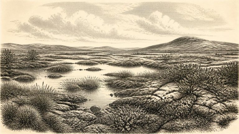
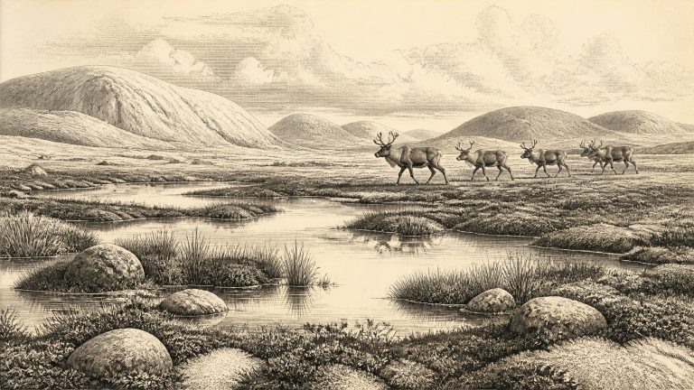
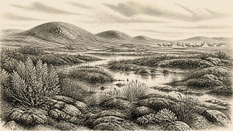
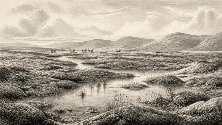
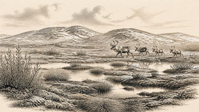
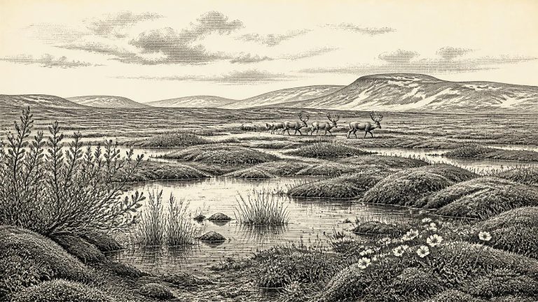
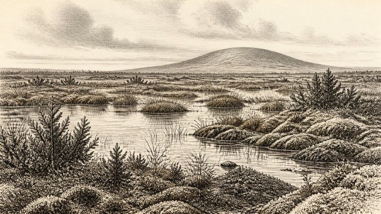
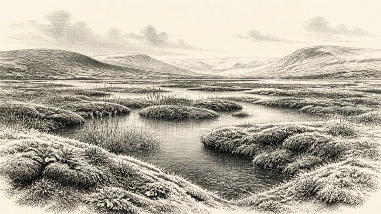
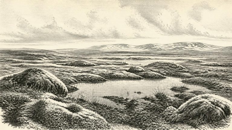
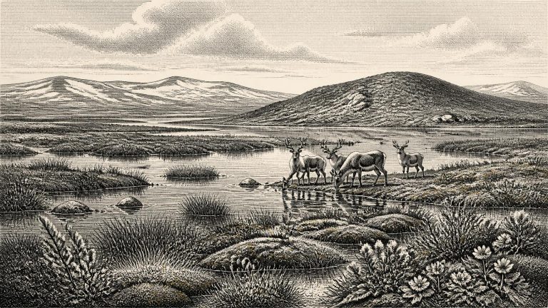
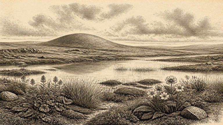
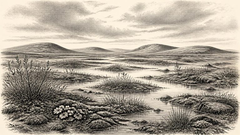
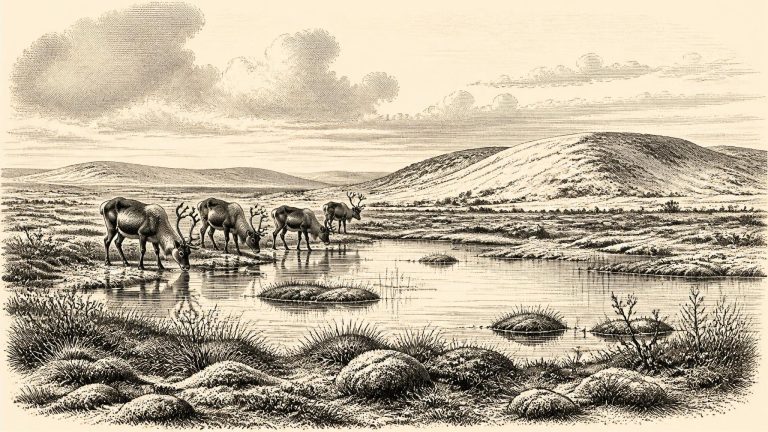
Derryvree offers evidence for local environmental conditions, not a map of every part of Ireland. Yet it decisively complicates the familiar image of an island continuously buried beneath ice throughout the Ice Age. At some stage within its dated range, north-central Ireland contained an exposed basin in which freshwater sediment and plant remains could build up. The fossil assemblage has been interpreted as a treeless muskeg or wet tundra: a cold, waterlogged landscape of shallow pools, sedges, mosses and low-growing plants, shaped by frost, seasonal thaw and poor drainage.
The closest exceptionally informative Irish record is Derryvree, near Maguiresbridge in County Fermanagh. Road works there in 1969 exposed fine sands, freshwater silts and organic layers enclosed between two tills: unsorted debris laid down directly by glacier ice. This stratigraphy provides secure relative evidence. Ice had covered the locality; a period then followed in which water, vegetation and organic sediment accumulated; later ice advanced again and sealed the deposit beneath a second till. It is an environmental archive, not an archaeological settlement layer.
During roadworks in 1969, an exposure cut through a drumlin at Derryvree. Beneath the rounded glacial landform lay two thick sheets of till, the unsorted sediment deposited by moving glacier ice. Between them were freshwater silts, fine sands and organic muds. The sequence is crucial: an earlier glacial episode had laid down till; a period followed in which standing or slow-moving fresh water, vegetation and organic matter accumulated; later ice buried the deposit beneath another till sheet.
The closest important chronological anchor is BIRM-166, a radiocarbon determination from organic sediments found at Derryvree, near Maguiresbridge in County Fermanagh. Roadworks in 1969 cut through a drumlin and exposed freshwater silts and fine sands trapped between two distinct sheets of glacial till. The original result was 30,500 radiocarbon years before present, with a substantial laboratory uncertainty. “Before present” conventionally means before 1950, not before the present calendar year. Because atmospheric carbon-14 has varied through time, such results must be calibrated rather than read as calendar dates.
Derryvree is important because its organic layer proves that, at some point during this range, ground in south Fermanagh was not buried beneath glacier ice. Water collected in a shallow freshwater setting amid a cold, periglacial landscape. Later ice advances sealed that modest wetland beneath glacial deposits. This is an unusually fortunate survival: most landscapes available to us now were repeatedly reshaped by ice, meltwater, frost and erosion. The road cutting exposed a brief geological archive of conditions that would otherwise have remained hidden inside the drumlin.
Derryvree is the key Irish environmental archive for this moment. Roadworks in 1969 cut through a drumlin and revealed freshwater silts and fine sands sealed between two substantial sheets of glacial till. The sequence establishes a valuable relative history: glacier ice had deposited the lower till; the site later supported freshwater and waterlogged ground; and renewed ice eventually overran or buried that landscape beneath the upper till. It does not demonstrate that all Ireland was ice-free at once, nor that the whole organic bed accumulated in a single generation. Yet it securely shows that a part of the Fermanagh interior experienced an ice-free interval during the wider Middle Midlandian cold stage.
The closest well-studied environmental archive is Derryvree, near Maguiresbridge in County Fermanagh. Roadworks there exposed freshwater silts and fine sands trapped between two thick layers of glacial till in a drumlin. The organic sediments produced radiocarbon determination Birm-166, conventionally dated to 30,500 radiocarbon years before present, with a substantial uncertainty. Radiocarbon years are not calendar years: once calibrated, the published range lies broadly around 36,900–31,700 calibrated years before present, approximately 34,950–29,750 BCE. The label 30,925 BCE therefore falls within the broad chronological window illuminated by the deposit, but it cannot be assigned to a particular layer, pool, plant or animal.
The key Derryvree sample, BIRM-166, came from organic mud and fine sediment exposed in a road cutting through a drumlin in 1969. It returned a conventional radiocarbon age of 30,500 years BP, with a substantial uncertainty of +1,170 and −1,030 years. A radiocarbon measurement is not identical to a calendar age: atmospheric carbon-14 has varied through time, so results must be calibrated against an independently constructed curve. At this antiquity the outcome is necessarily a broad probability range, not an annual date.
Radiocarbon years are not calendar years. A laboratory determination must be calibrated against changing atmospheric carbon levels, and results this old commonly produce wide ranges. The key Irish deposit is at Derryvree near Maguiresbridge, County Fermanagh, where roadworks in 1969 cut through a drumlin. Beneath its surface lay two separate sheets of glacial till, with freshwater silts, sands and organic layers caught between them. The organic deposit, known as BIRM-166, produced a conventional radiocarbon result of 30,500 years BP with a substantial uncertainty. Published calibration places the episode broadly around 36,900–31,700 calibrated years BP. The notional date of 30,965 BCE falls within that broad window; it does not identify the precise moment when a particular pond formed, a seed fell or an animal crossed the ground.
The most useful Irish chronological anchor is the Derryvree freshwater deposit, exposed during road works in 1969 within a drumlin. Organic silts and fine sands lay between two distinct tills: sediments left by ice. That simple stratigraphic relationship is powerful. It establishes that, at this Fermanagh location, an earlier ice advance was followed by an ice-free interval in which freshwater and wetland deposits accumulated, before another glacial advance buried and sealed them. A conventional radiocarbon measurement, BIRM-166, returned 30,500 +1,170/−1,030 radiocarbon years BP. It should not be mechanically translated into a single BCE year. Modern calibration places it broadly in the middle of the last glacial cycle, approximately around 35,000–37,000 calibrated years BP, with substantial uncertainty.
At this broad horizon, Ireland was entering the colder trajectory that would culminate in extensive glaciation. The timing and extent of ice growth remain matters of active research, and the island was not necessarily covered uniformly at every moment. Current syntheses place the principal build-up of the British–Irish Ice Sheet after roughly 35,000–32,000 calibrated years ago, with its maximum much later, broadly between about 27,000 and 21,000 years ago. Thus 31,060 BCE belongs near a transition: a time when cold-stage conditions, expanding ice and changing sea level increasingly shaped the possibilities for life.
Derryvree was exposed during roadworks in 1969, when a cut through a drumlin revealed a sequence of fine sands, freshwater silts and organic layers between two thick bodies of till. Till is the unsorted sediment deposited by glacier ice. The basic order of the sequence is clear: ice had occupied the locality; an interval followed in which water, vegetation and organic matter accumulated; then a later glacial advance buried the record beneath fresh till. That makes Derryvree an unusually eloquent witness to a changing Pleistocene landscape.
Derryvree matters because it demonstrates that this part of Ireland was ice-free for an interval between glacial episodes. Its freshwater sediments preserve pollen, plant macrofossils, mosses and insect remains. The evidence points to a cold, treeless, periglacial landscape: ground repeatedly frozen and thawed, with wet hollows and shallow water amid open vegetation. Mosses, sedges and herbs were important components. Finds including bogbean, water-milfoil, mountain-avens, dwarf willow and alpine clubmoss indicate that the ground was not a uniform desert of snow and stone. Rather, moisture, soil depth, exposure and season created a patchwork of ponds, marshy margins, sparsely vegetated ground and more sheltered niches.
The numbered year falls close to a major climatic transition. Reconstructions of the British–Irish Ice Sheet show that ice was building rapidly around 31,000 years ago, though its extent varied markedly by region and is not known with equal confidence everywhere. Upland ice centres existed in northern and western Ireland, while glaciers and ice fields occupied several mountain regions. The largest expansion of the ice sheet was still developing; its maximum extent in different sectors occurred at different times, broadly between about 30,000 and 22,000 years ago.
At this depth in time, radiocarbon ages cannot simply be converted into a single BCE number. Atmospheric radiocarbon varied substantially in the past; measurements must be calibrated against independently built curves and expressed as probability ranges. The key Irish deposit for this broad horizon, from Derryvree near Maguiresbridge in County Fermanagh, produced a conventional radiocarbon age of 30,500 +1,170/−1,030 radiocarbon years BP. Published calibrations place it broadly in the range of roughly 36,900–31,700 calibrated years BP, approximately 34,950–29,750 BCE. The modern label 31,124 BCE falls within that wide span, but cannot be attached to a particular layer, season or generation.
Derryvree was revealed by roadworks in 1969, when a cutting passed through a drumlin: a streamlined hill made largely of debris deposited by glacier ice. Beneath an upper till, and above an older till, investigators found fine sand, silt and organic-rich freshwater deposits. This sequence is the crucial fact. At least locally, ice had withdrawn or ceased to occupy the ground long enough for standing or slow-moving water, sediment and vegetation to accumulate. Ice later returned or expanded across the site, sealing the wetland below a new blanket of till.
The most informative Irish evidence is from Derryvree townland near Maguiresbridge, County Fermanagh. Road-cutting in 1969 exposed a drumlin containing two thick and distinct sheets of glacial till, separated by freshwater silts and fine sands rich in organic material. This order of layers is the essential fact: glacier ice deposited the lower till; an ice-free interval then permitted freshwater sediments, plants and animals to accumulate; later ice overrode or sealed the deposit beneath the upper till. The deposit is consequently a window onto conditions in north-central Ireland between major glacial episodes, rather than proof that all parts of the island looked alike at once.
Derryvree was exposed accidentally during road works in 1969, when a cutting passed through a drumlin roughly two kilometres north-east of Maguiresbridge. Beneath the drumlin’s form lay an exceptional sequence: one thick glacial till, then freshwater silts and fine sands with organic material, then a second till. Till is sediment deposited directly by glacier ice. The sequence shows that ice had affected the locality, withdrew or ceased to occupy it locally long enough for water and living things to leave a record, and later returned to bury that record beneath fresh glacial debris. It is an archive of changing conditions, not a settlement layer or a snapshot of a single year.
At this point Ireland was far from the familiar green, wooded island of later prehistory. It had not yet reached the Last Glacial Maximum, the cold peak during which the last Irish Ice Sheet expanded across much of the island, conventionally placed around 26,500–19,000 years ago. Yet it was already part of a volatile North Atlantic world in which temperatures, sea level, vegetation and the margins of ice sheets changed repeatedly. Climate shifts recorded in Greenland ice cores were rapid on geological timescales, while Irish cave deposits show that comparatively milder episodes could allow liquid water to circulate through shallow karst systems before colder phases returned.
Derryvree provides the clearest environmental window. Roadworks in 1969 cut through a drumlin and exposed freshwater silts and fine sands enclosed between two substantial sheets of till, debris laid down by moving ice. Organic material from the intervening deposit, laboratory sample Birm-166, returned a conventional radiocarbon age of 30,500 years BP, with a large uncertainty. Subsequent calibration has placed that material broadly between about 36,900 and 31,700 calibrated years BP. The nominal date of 31,433 BCE lies within that wide span, but neither the sample nor the calibration curve can identify conditions in that individual calendar year.
Derryvree’s importance is that it preserves a local landscape which later ice almost entirely concealed. Its fine sediments accumulated in or beside quiet freshwater: a pool, marshy hollow or sluggish watercourse, rather than on an exposed glacier surface. Pollen, plant macrofossils, mosses and insects recovered from the beds indicate open tundra vegetation and a periglacial regime. Periglacial does not simply mean snowy. It describes terrain strongly shaped by frost, seasonal freezing and thawing, unstable drainage and sparse vegetation, while remaining locally free of glacier ice.
The closest useful Irish chronological anchor is the Derryvree deposit near Maguiresbridge, County Fermanagh. Roadworks exposed fine freshwater silts and sands beneath a drumlin, lying between two tills: unsorted sediment left by separate glacier advances. Organic material from the deposit produced the radiocarbon determination BIRM-166, conventionally dated to 30,500 ± 1,100 radiocarbon years before present. Subsequent modelling and calibration place this evidence broadly around 33.5 ± 1.2 thousand calendar years before present. That wide interval encompasses 31,502 BCE, but it does not prove that every fossil in the bed, or every part of Ireland, belonged to that exact moment.
Derryvree is important precisely because it survived. Roadworks in 1969 cut through a drumlin and exposed organic silts and fine sands caught between two thick tills: deposits laid down by water, then sealed beneath later glacial sediment. The preserved material included pollen, plant macrofossils, mosses and invertebrate evidence. It offers an unusual glimpse of a landscape that later ice would largely bury, erode or rearrange. The sample known as BIRM-166 is therefore not an historical document in the ordinary sense, but it is one of the most eloquent witnesses to Ireland’s condition during the later part of Marine Isotope Stage 3, the long cold phase of the Late Pleistocene.
31,623 BCE is a modern chronological label, not a year that anyone in prehistoric Ireland could have named, counted or recorded. Expressed in the archaeological convention of years before AD 1950, it lies roughly 33,570 calendar years before present, within the Late Pleistocene and Marine Isotope Stage 3, a climatically unstable part of the last Ice Age. At this depth in time, neither radiocarbon dating nor glacial stratigraphy can resolve Irish history to a single year, season or generation. The responsible approach is therefore to ask what dated deposits can illuminate the broad interval around this point, and what they cannot.
Radiocarbon results of this antiquity are not calendar dates. Birm-166, taken from Derryvree organic silts, produced a determination of 30,500 radiocarbon years before present, with a substantial uncertainty of +1,170 and −1,030 years. Calibration is necessary because atmospheric carbon-14 has varied through time. Later scholarship places the result broadly within c. 36,900–31,700 calibrated years before present. That broad span includes the modern reference-point of 31,690 BCE, but it emphatically does not turn the Derryvree deposits into a record of one year, one generation, or even one unbroken century.
Derryvree was revealed in a 1969 road cutting through a drumlin. Beneath one body of glacial till and above another lay fine sands and organic-rich silts: the remains of a freshwater environment preserved between episodes of ice-sheet activity. The laboratory determination known as Birm-166 gave an age of about 30,500 radiocarbon years before present. Radiocarbon years are not calendar years, and modern calibration produces the broader range used by later researchers. That distinction matters. The deposit supplies evidence that this part of Fermanagh was ice-free during some portion of the range, not proof that conditions were identical throughout it or on every part of Ireland.