Membership is completely free, giving members unlimited access to all available resources, services, features, and benefits without any restrictions or fees.
Welcome back. Sign in to continue enjoying unlimited access to all available resources, services, features, and member benefits at no cost.
Derryvree was exposed in a road cutting through a drumlin in 1969. Investigators found freshwater silts and fine sands, including organic material, trapped between two distinct sheets of till. Till is the unsorted clay, stones and larger debris laid down by glacier ice. The order of the layers is the essential evidence. Ice had earlier affected the site; then a freshwater basin accumulated sediment during a non-glacial interval; finally, later ice buried the deposit beneath another till sheet. This is a sequence of environmental change, not a record of a single season or occurrence.
Derryvree is exceptionally valuable because it preserves a thin episode of living landscape between two bodies of glacial sediment. Roadworks in 1969 cut through a drumlin and exposed freshwater silts and fine sands sealed between two distinct till sheets. The lower till records an earlier ice advance; the organic-rich deposit represents an interval when fresh water, sediment, plants and small animals occupied the site; the upper till shows that ice later returned across the district. It is an archive of environmental change, not a settlement site. Yet it supplies some of the clearest direct evidence for what part of Ireland could have looked like in the long climatic interval around this nominal year.
The nearest major Irish chronological anchor is the freshwater deposit found at Derryvree, near Maguiresbridge in County Fermanagh. Roadworks in 1969 cut through a drumlin and revealed organic silts and fine sands trapped between two tills: sediments left directly by separate episodes of glacier ice. The sequence establishes an important order of events. Ice affected the locality; a wetland or shallow-water environment then existed there; and a later ice advance sealed the organic bed beneath fresh glacial sediment. A sample from that bed, BIRM-166, returned a conventional radiocarbon age of 30,500 years BP, with a large uncertainty of +1,170/−1,030 years.
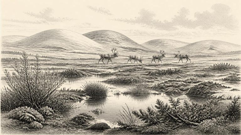
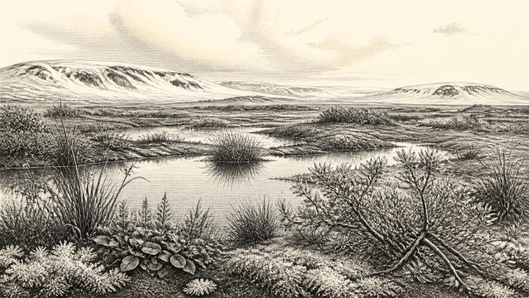
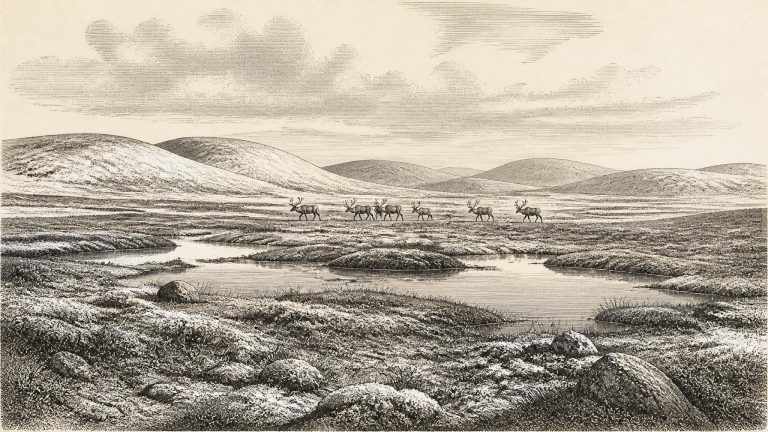
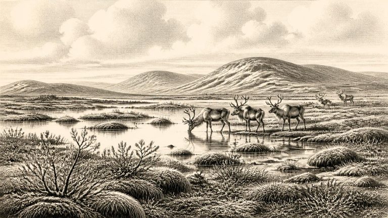
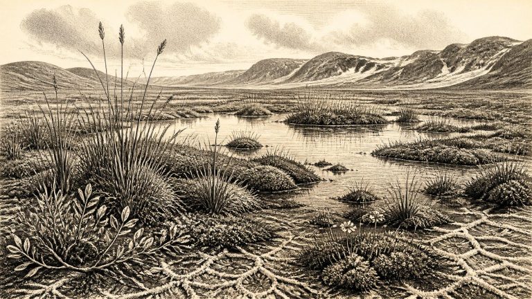
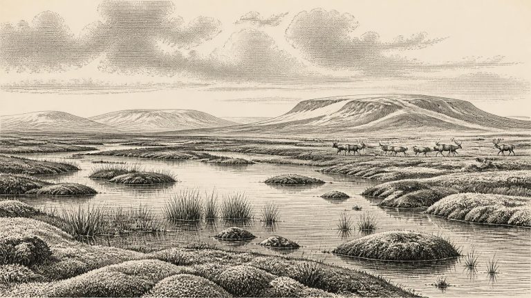
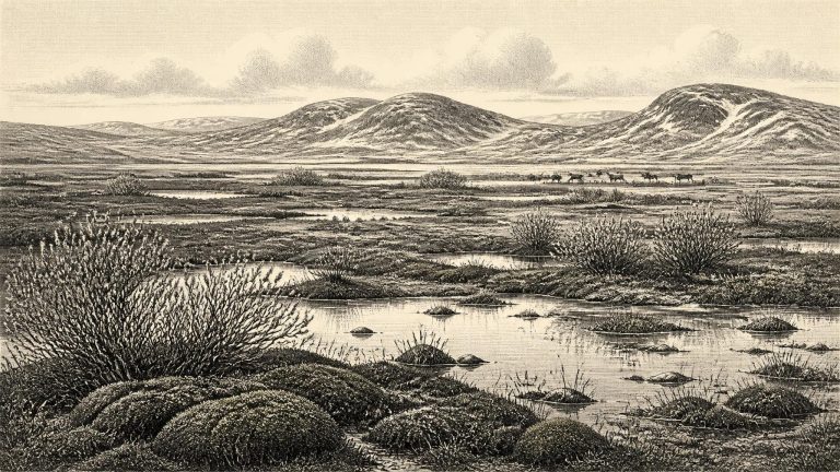
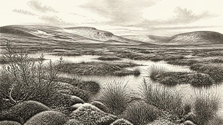
Derryvree matters because it disproves any picture of Ireland as uniformly sealed beneath ice throughout the whole Ice Age. At the time represented by its sediments, this part of Fermanagh was locally ice-free. Fine mineral material settled in standing or slow-moving water; organic remains accumulated among wet ground and shallow pools. The freshwater bed was later compressed and protected beneath glacial deposits, preserving an unusually valuable environmental archive. Yet it is an archive for a locality, not an island-wide weather report. It demonstrates that conditions suitable for tundra vegetation and wetland life occurred near Maguiresbridge; it cannot map the limits of every ice lobe, coast or upland across Ireland in a particular year.
The closest Irish environmental landmark is the freshwater deposit at Derryvree, near Maguiresbridge in County Fermanagh. Roadworks in 1969 cut through a drumlin and revealed a remarkable sequence: a lower sheet of glacial till, then fine sands, freshwater silts and organic-rich mud, capped by a second substantial till. Its order is secure even where its absolute dating is broad. Glacier ice had deposited the lower till; an interval followed in which water, plants and small animals occupied the hollow; later ice returned and sealed the wetland beneath a new deposit.
Derryvree’s importance lies in its sequence. The lower till shows that ice had previously moved across the district. Above it, freshwater sediment accumulated while the locality was exposed and sufficiently unfrozen, at least seasonally, for standing or slow-moving water, plants and small animals to leave traces. Proglacial sands and a later till then sealed the deposit, recording renewed glacial conditions. This is not a picture of a permanently ice-covered Ireland, nor evidence that the whole island was temperate and habitable at the same time. It is strong local evidence for an ice-free interval in Fermanagh amid a climate system capable of repeated advance and retreat.
Derryvree was exposed by road-cutting through a drumlin in 1969. The section revealed two thick sheets of till, the unsorted sediment deposited by glacier ice, with freshwater silts, fine sands and organic mud between them. Its basic sequence is unusually powerful evidence. An earlier ice advance had covered the area; this was followed by an interval in which standing or slow-moving fresh water, wetland plants and small animals occupied a hollow; then later ice or glacial meltwater buried that landscape beneath new sediments. The deposit is not a village, campsite or cemetery. It is an environmental archive, preserved precisely because later glacial deposits sealed it.
The closest and most informative Irish evidence is BIRM-166, a radiocarbon determination from organic freshwater silts exposed at Derryvree, near Maguiresbridge in County Fermanagh. Road works cut through a drumlin in 1969 and revealed a remarkable sequence: a lower glacial till, then fine sands and organic-rich freshwater sediments, capped by another thick till. Till is the unsorted clay, stones and debris left by glacier ice. The arrangement establishes an important order of events. Ice had occupied this part of Fermanagh; an interval followed in which water, sediment and vegetation accumulated; later ice or ice-related deposits buried and protected the record.
30,575 BCE is a useful modern label, not a date that people, animals or landscapes in prehistoric Ireland could have recognised. At this depth of time, no historical calendar, annual chronicle or named event exists. Nor can archaeology identify what happened in one particular year. The responsible approach is to set the date within broad, calibrated ranges and to distinguish a deposit’s direct evidence from the larger story inferred from it.
Derryvree became known when road works in 1969 cut through a drumlin: a streamlined hill made largely of glacial sediment. Beneath one sheet of till and above another lay organic silts and fine sands, deposited in and around fresh water. This simple sequence is exceptionally valuable. The lower till shows that ice had previously affected the locality; the organic layer records a subsequent period in which open water, wet ground and living communities existed; the upper till shows that later ice advance buried and protected that evidence.
The key archive is Derryvree townland, near Maguiresbridge in County Fermanagh. Road construction in 1969 cut through a drumlin and exposed a remarkable sequence: a lower layer of glacial till, then freshwater silts and fine sands containing organic remains, capped by a second thick till. Till is the unsorted debris laid down by glacier ice. The sequence therefore establishes a firm relative order: ice had occupied this place; an interval followed in which freshwater and wetland sediment accumulated; and ice later returned or expanded sufficiently to seal the deposit.
The most informative evidence close to this nominal date comes from Derryvree near Maguiresbridge, County Fermanagh. Roadworks exposed a sequence within a drumlin: glacial till below, freshwater and organic deposits in the middle, and another thick till above. Till is sediment laid down directly by glacier ice. The sequence therefore establishes an important order of events. Ice had covered the locality; a period followed in which open or slow-moving freshwater and wet ground developed; then ice returned and sealed the deposits beneath later glacial material.
Derryvree was exposed during roadworks in 1969, when a cutting passed through a drumlin. Beneath one mass of glacial till and above another lay silts, fine sands and organic material deposited in freshwater. The stratigraphy is the fundamental evidence. Ice had laid down the lower till; subsequently, local conditions allowed water, plants, insects and sediment to accumulate; later ice deposited the upper till and sealed the earlier landscape. Organic material from the freshwater bed produced radiocarbon determination Birm-166, 30,500 radiocarbon years before present, with a substantial uncertainty of +1,170/−1,030 years.
Derryvree was exposed during roadworks in 1969, when a cutting through a drumlin revealed a remarkable sequence. An older glacial till lay below sands, silts and organic material; another till, left by a later ice advance, sealed them above. This simple arrangement is powerful evidence: ice had formerly crossed the locality, then an interval of exposed land and freshwater allowed sediments and plant remains to accumulate, before glacier ice returned. The organic bed produced the radiocarbon determination BIRM-166, conventionally dated to about 30,500 radiocarbon years BP, with a substantial error range.
Derryvree was exposed during roadworks in February and March 1969, when a cutting passed through a drumlin about two kilometres north-east of Maguiresbridge. The sequence was remarkable. Two thick sheets of till – unsorted sediment laid down by glacier ice – enclosed freshwater silts, fine sands and organic mud. The basic history is secure even if its dates are broad: ice deposited the lower till; a period of standing or slowly moving freshwater followed, allowing sediment, plants and animals to accumulate; then a later advance of ice sealed the deposit beneath the upper till.
Derryvree does not show that the whole island was ice-free at once. It demonstrates that this part of Fermanagh supported a non-glacial landscape during an interval between local ice advances. That distinction matters. The later Last Glacial Maximum, conventionally placed around 25,000–23,000 years ago for the British–Irish Ice Sheet’s greatest extent, was still ahead. Ice margins, sea level, vegetation and animal ranges had already changed repeatedly, however, and the evidence does not justify imagining a stable, mild Ireland waiting quietly for the main freeze.
The closest unusually informative Irish record is Derryvree, near Maguiresbridge in County Fermanagh. Road-cutting through a drumlin in 1969 exposed a striking sequence: thick glacial till below, freshwater silts and fine sands with organic material in the middle, and another substantial till above. Till is the unsorted material laid down by glacier ice. The order of the deposits establishes something important and secure: ice occupied the locality; an interval followed in which open water, sediment, plants and small animals accumulated; then ice again covered or crossed the area.
Precision is especially misleading here. Radiocarbon ages are measured in radiocarbon years, not calendar years, and their conversion requires calibration against changing atmospheric carbon-14. IntCal20 provides a Northern Hemisphere calibration curve extending back to 55,000 calendar years before present, but uncertainty increases markedly at this age. A precise-looking BCE label should therefore be treated as a filing point within a much wider chronological landscape, not as an anniversary.
The most informative Irish evidence close to this point comes from Derryvree, near Maguiresbridge in County Fermanagh. Road works in 1969 cut through a drumlin: the streamlined hill of glacial sediment that dominates much of the local landscape. The exposed sequence was exceptional. A thick lower till, deposited directly by glacier ice, lay beneath freshwater silts, fine sands and organic material; a second till sealed the organic deposits above. Its order is unmistakable. Ice had occupied the locality, then an interval allowed water, plants and small animals to inhabit a basin, and later glacial action buried their traces.
The closest Irish environmental anchor is Derryvree, near Maguiresbridge in County Fermanagh. Roadworks exposed a drumlin section there in 1969. Beneath the familiar smooth hill’s surface lay a remarkable sequence: a lower body of glacial till, then freshwater silts and fine sands rich in organic material, and finally an upper till. The order matters more than any attempt to assign a particular season to the sediment. Ice had occupied the locality; subsequently, water and organic mud accumulated in an ice-free hollow; later ice or glacial sediment sealed the deposit again.
The distinction between radiocarbon years and calendar years matters especially here. The most important Fermanagh date, laboratory number BIRM-166, was obtained from organic-rich freshwater deposits at Derryvree near Maguiresbridge. It produced an age of 30,500 radiocarbon years before present, with a large quoted uncertainty of roughly a thousand years. Such an age cannot be read straight across as 30,500 calendar years. Calibration using modern curves places comparable late radiocarbon ages broadly in the mid-30,000s cal BP, or calibrated years before AD 1950, rather than in a single precise calendar year.
Derryvree was revealed in 1969 when road works cut through a drumlin. Beneath a later sheet of glacial till, excavators found fine sands and organic silts; beneath those lay another till. This sequence matters because the organic layer records a period when freshwater accumulated at the site rather than ice flowing across it. The deposit therefore provides strong local evidence that part of north-central Ireland was ice-free during the interval represented by the sediments, before a subsequent glacier overrode and sealed them.
The most informative Irish evidence close to this broad period comes from Derryvree, near Maguiresbridge in County Fermanagh. Roadworks in 1969 sliced through a drumlin, exposing a remarkable sequence: freshwater silts and fine sands lay between two thick sheets of till, the unsorted debris left by glacier ice. The order of the layers is more secure than any attempt to assign them to a particular year. An earlier ice advance had deposited the lower till; thereafter, water, plants, insects and sediment accumulated at the site; finally, another advance buried the wetland beneath fresh glacial material.
The most relevant Irish chronological clue is BIRM-166, a radiocarbon determination from organic silts and fine sands at Derryvree, near Maguiresbridge in County Fermanagh. The sample returned an age of 30,500 radiocarbon years before present, with a large quoted uncertainty of +1,170/−1,030 years. “Present” in radiocarbon terminology means AD 1950, not the present day. Such an age is not interchangeable with a calendar date: atmospheric radiocarbon levels changed through time, so results must be calibrated against international calibration curves. At this depth of time the calibrated result is a range rather than a single year, and it can be affected by the condition and history of the material sampled.
Roadworks in 1969 cut through a drumlin at Derryvree and exposed a remarkable sequence: a lower glacial till, freshwater silts and fine sands rich in organic material, and an upper till. The basic order is clear. Ice had laid down the lower deposit; an interval followed in which water, plants and small animals occupied the hollow; and later glacial action buried the deposit beneath fresh sediment. The organic layer produced a conventional radiocarbon age of 30,500 +1,170/−1,030 radiocarbon years BP.
The most relevant evidence comes from Derryvree, near Maguiresbridge in County Fermanagh. Road construction in 1969 cut through a drumlin and revealed freshwater silts and fine sands caught between two thick layers of till, the unsorted debris left by glacier ice. The sequence provides a secure relative history. First, ice deposited the lower till. Later, in an ice-free local setting, standing or slow-moving freshwater accumulated sediment and organic matter. Finally, a renewed glacial advance laid down the upper till and sealed the older wetland beneath it.
Derryvree was exposed during road works in 1969, when a cutting passed through a drumlin: one of the streamlined hills of till that now characterise much of Fermanagh. Beneath and above the organic sediments lay separate till sheets, unsorted mixtures of clay, stones and debris deposited by glacier ice. Between them were fine sands, silts and organic material formed in fresh water and wet ground. The sequence establishes an important fact. Ice had occupied this locality, then an interval existed in which water, plants and small animals could flourish, and later ice or ice-derived sediment sealed the record.
In February and March 1969, roadworks cut through a drumlin at Derryvree, about two kilometres north-east of Maguiresbridge. The section exposed a remarkable sequence: a thick lower till, then freshwater silts and fine sands rich in organic material, followed by another substantial till. Till is the unsorted debris deposited by glacier ice. The order of the layers demonstrates an earlier glacial episode, an intervening phase in which water, sediments and living things accumulated, and a later return or expansion of ice across the site.
“30,798 BCE” is a modern chronological label, not a year that can be recovered from an Irish record. No calendar, written testimony, named individual, settlement, burial or event can be assigned to this particular twelve-month span. In radiocarbon terms it lies roughly 32,700 calendar years before present, where “present” conventionally means AD 1950. At such depth, dates are expressed as calibrated ranges, often with substantial uncertainty, rather than as exact historical years. The appropriate setting is the Late Pleistocene, during Marine Isotope Stage 3 (MIS 3), a long and climatically volatile phase of the last glacial cycle.
Derryvree is important because most evidence from this age has been erased, reworked or buried by later glaciers. It demonstrates that at least one part of Fermanagh was free of overriding ice for long enough to sustain standing or slow-moving fresh water and a wetland margin. It does not demonstrate that the whole island was ice-free at the same time. Ireland’s ice cover changed from region to region, while the wider British–Irish Ice Sheet was capable of repeated growth, retreat and reorganisation during MIS 3. The much more extensive Last Glacial Maximum ice cover came later: evidence places maximum Irish and shelf-edge glaciation principally around 27,000–23,000 calibrated years BP, although individual sectors did not behave in unison.