Membership is completely free, giving members unlimited access to all available resources, services, features, and benefits without any restrictions or fees.
Welcome back. Sign in to continue enjoying unlimited access to all available resources, services, features, and member benefits at no cost.
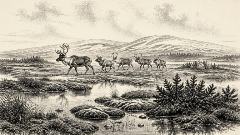
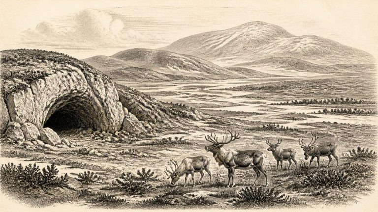
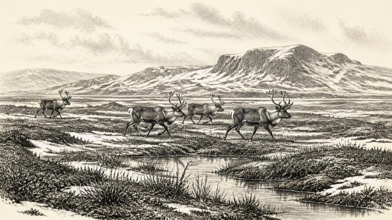
Derryvree offers an unusually valuable glimpse because its fine sands and organic silts were sealed between two tills, deposits left by separate incursions of glacier ice. During the period represented by the intervening freshwater sediments, south Fermanagh was not buried beneath an ice sheet. It had shallow water, wet ground and plant-rich hollows in a cold, open landscape. Pollen, moss remains and insects indicate tundra or muskeg rather than woodland: grasses, sedges, herbs and juniper were present, while dry ground was probably patchy and sparsely vegetated. Pools and saturated mossy ground could persist beside exposed mineral soils, shaped by freezing, thawing and seasonal meltwater.
At this point in the last glacial cycle, Ireland was moving towards the much more extensive ice cover that developed later. The most recent British–Irish Ice Sheet reconstructions model substantial growth after about 31,000 years ago and an Ireland almost wholly ice-covered by around 28,000 years ago. That does not allow a simple picture for c. 33,900 calibrated years before present. Conditions varied between regions, seasons and short climatic phases, while the exact timing of ice advance remains an active research question. The island was not yet the uniformly ice-dominated terrain of the later glacial maximum, but neither was it a hospitable temperate landscape.
Prehistoric chronology needs careful translation. “BP” means before AD 1950, the reference year used by radiocarbon science; a calibrated age converts a radiocarbon measurement into a probability range in calendar years. Neither system licences the apparent precision of a named BCE year. The figure 31,911 BCE is therefore useful as a position on a long timeline, but it should not be mistaken for a securely dated Irish episode.
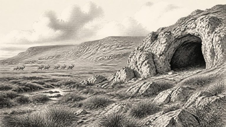
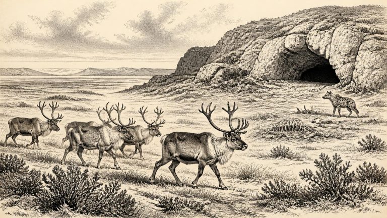
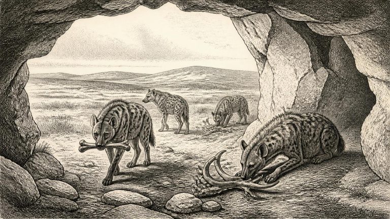
The Irish site most relevant to this point is Castlepook Cave, also called Mammoth Cave, near Doneraile in north County Cork. Its narrow limestone passages include chambers named Elephant Hall, Hyaena Hall and the Gallery of Aged Carnivores. Excavations between 1904 and 1913 recovered more than 2,000 animal bones and teeth from sands beneath and between stalagmite floors. Geological Survey Ireland describes Castlepook as Ireland’s richest known archive for vertebrate life in the long interval leading towards the Last Glacial Maximum. Individual specimens from its collections have produced dates spanning approximately 45,700 to 19,950 radiocarbon years BP: an immense stretch of time, not one contemporaneous animal community.
The numerical label 31,913 BCE is a modern conversion, not an exact prehistoric calendar date. For periods this old, scholars normally use calibrated years before present (cal BP, with “present” conventionally fixed at 1950) or broad geological stages. The calibration curve itself becomes less exact further back in time, while the survival of enough original collagen for radiocarbon dating is a separate challenge. Modern re-dating of Irish cave bones has shown why such caution matters: improved pretreatment has made several Castlepook dates thousands of radiocarbon years older than earlier results.
Modern BCE labels give a misleading impression of precision. Archaeologists date material from this period chiefly through radiocarbon measurement, then convert radiocarbon ages into calibrated ranges using internationally maintained calibration curves. Those ranges may span centuries or millennia; they do not identify an individual season, much less an exact year. Moreover, the relevant evidence is not a single layer sealed in a secure camp site. Castlepook’s cave deposits accumulated over a long time and were disturbed by water, animal activity and early excavation.
Ireland was then in the last Ice Age, but not yet necessarily in the uniform, ice-covered condition popularly imagined for the whole period. The major expansion of the British–Irish Ice Sheet towards its later maximum was approaching and did not occur everywhere at precisely the same time. Reconstructions of the ice sheet show asynchronous growth and advance across Ireland, Britain and the continental shelf. Around this date, conditions could alter sharply over comparatively short geological intervals as North Atlantic climate switched between colder stadials and less severe interstadials. Any picture of a fixed, timeless frozen Ireland is therefore misleading.
At this date Ireland was not the wooded, temperate island familiar today. It belonged to a northern Atlantic world repeatedly reshaped by cold, changing sea levels, snowfields, frozen ground and advancing ice. The great expansion of the British–Irish Ice Sheet lay ahead: the best large-scale reconstruction places its maximum volume at about 23,000 years ago, while Irish evidence shows that ice cover and its limits varied substantially from region to region. Consequently, 31,916 BCE should not be pictured as a moment when all Ireland lay sealed under one uniform ice sheet. It was instead part of a long pre-maximum cold phase in which habitats could alter dramatically over centuries and millennia.
For this period, precision is necessarily limited. Radiocarbon laboratories measure the remaining radioactive carbon in once-living material, such as bone collagen. The result is expressed in radiocarbon years before present, not in BCE. Atmospheric carbon levels changed over millennia, so those results must be compared with calibration curves assembled from independently dated records, including tree rings, corals, cave deposits and lake sediments. At nearly 34,000 years ago, calibrated ranges can be broad, and revisions to methods or samples can alter previous conclusions.
Modern BCE notation is far more precise than the evidence permits. Radiocarbon determinations measure the remaining carbon-14 in once-living material, then must be calibrated against changing atmospheric carbon levels; their results are normally reported as probability ranges, not as a single historical date. Moreover, the relation between a date expressed in “years before present” and a BCE year is not a simple conversion. “Present” in radiocarbon convention is 1950, and calibration can widen or shift the apparent age substantially. For this reason, 31,918 BCE should be read as approximately 34,000 years ago, not as the anniversary of a known occurrence. The relevant archaeological and environmental record spans thousands of years.
The numbered year sits within a long and unstable climatic interval. The Last Glacial Maximum, when the British–Irish Ice Sheet became especially extensive, lay later, broadly between about 26,500 and 19,000 years ago. Around the earlier horizon represented by 31,919 BCE, the eventual expansion of that ice sheet was not yet complete. Geological evidence from north-central Ireland is particularly important. Organic sediments beneath later glacial deposits at Derryvree and Greenagho in County Fermanagh indicate ice-free conditions during parts of the preceding interval. One calibrated range from Derryvree spans approximately 36,900–31,700 cal BP; another from Greenagho spans about 37,200–35,700 cal BP.
Radiocarbon ages and calendar ages are not interchangeable. A measured radiocarbon result has to be calibrated against curves that account for past fluctuations in atmospheric carbon-14, and the uncertainties become especially important in the deep past. IntCal20 provides a Northern Hemisphere calibration framework back to 55,000 calendar years before present, but it does not turn a cave find into evidence for a particular modern-style year. Accordingly, 31,920 BCE is best used here as a point within a broad chronological neighbourhood, around 34,000 calendar years ago, rather than as a moment at which anyone can be shown to have acted in Ireland.
Ireland was entering a decisive climatic transformation. The Last Glacial Maximum, when the British–Irish Ice Sheet covered much of the island, lay ahead rather than behind: broadly, major ice expansion belongs to the period after about 34,000 years ago, with full glacial conditions developing later. Geological evidence from beneath tills in Fermanagh and from the west coast indicates that substantial areas of Ireland had been ice-free during the preceding millennia. That does not mean a mild or stable country. Temperatures fluctuated sharply, seasons were severe, and the growing ice sheet was beginning to reshape the wider region.
Ireland was then part of the long last glacial cycle, but it should not be pictured simply as an island sealed beneath permanent ice. Marine Isotope Stage 3, broadly c. 57,000–29,000 years ago, was climatically restless. Greenland ice-core records and North Atlantic sediments reveal abrupt warmer and colder swings. The British–Irish Ice Sheet was already an important presence, but its precise extent and behaviour around 34,000 calibrated years ago remain debated. Recent synthesis points to earlier growth, retreat and renewed advance before the Last Glacial Maximum, rather than one uncomplicated march towards a frozen peak.
Archaeologists use radiocarbon determinations, stratigraphy, faunal study and geological dating rather than historical chronologies for this period. Radiocarbon years are not identical to calendar years and must be calibrated against changing atmospheric carbon levels; even then, dates are expressed as ranges with statistical uncertainty. The numerical year 31,923 BCE therefore should not be mistaken for an anniversary of a hunt, a migration or a climatic event. It is best understood as an approximate point within a long Upper Palaeolithic world, perhaps roughly 34,000 years before the conventional radiocarbon “present” of 1950.
The evidence is exceptionally uneven. Ireland has no securely identified house, hearth, grave, tool assemblage or settlement surface of this age. Its record comes principally from animal bones, cave deposits, glacial sediments, landforms and changing shorelines. These are powerful sources for reconstructing environments, but they do not provide an annal of a particular hunt, migration or season. Much of the island’s earlier surface archaeology was also vulnerable to erosion, burial and destruction as the last ice sheet expanded. Absence of a camp is not conclusive proof that no person ever entered Ireland; equally, it cannot be converted into proof of a settled population.
Ireland was not yet simply the ice-covered island often imagined from accounts of the Last Glacial Maximum. Research on the British–Irish Ice Sheet indicates that major ice expansion followed this period and reached maximum extent around 27,000 years BP in some reconstructions. Yet conditions were severe, and the record points to rapid environmental change before, during and after the maximum. Ice caps and glaciers occupied uplands and western and northern areas at different times; periglacial processes repeatedly froze, fractured and shifted exposed ground. Any attempt to draw a neat national boundary between “ice-free” and “glaciated” Ireland would be misleading.
There were no states, rulers, written laws or diplomatic relations in Ireland that can be recovered for this time. Nor can archaeologists identify a village, burial ground, hearth or tool-making floor securely belonging to 31,926 BCE. The island’s history is instead approached through geological traces, cave deposits, animal bones and laboratory dating. These sources illuminate changing environments and occasional animal presence far more clearly than they illuminate human lives.
The most important Irish evidence is the Derryvree freshwater sequence near Maguiresbridge in County Fermanagh. Roadworks in 1969 exposed silts and fine sands containing organic material between two distinct sheets of glacial till. The deposit produced a conventional radiocarbon age of 30,500 years before present, with a substantial uncertainty. When recalibrated, the published span is approximately 36,900–31,700 calendar years before present. The nominal date of 31,927 BCE lies within that broad range, but this does not mean that the sediment was laid down in that exact year. It accumulated over time, and the calibrated range expresses the statistical limits and complications of deep radiocarbon dating.
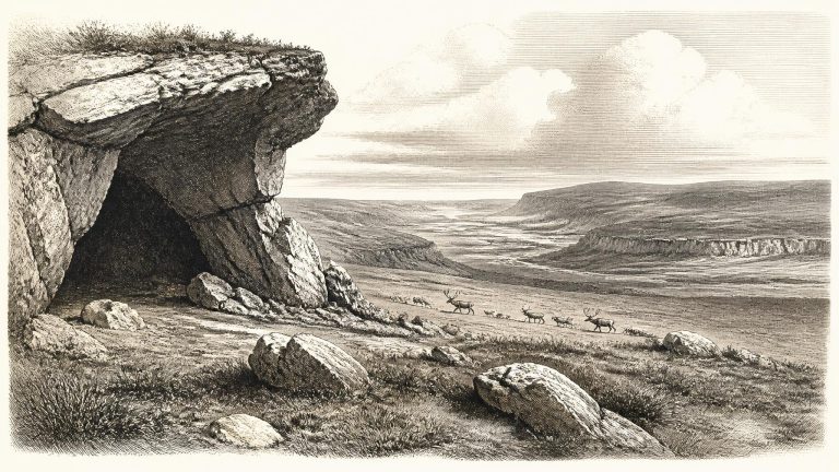
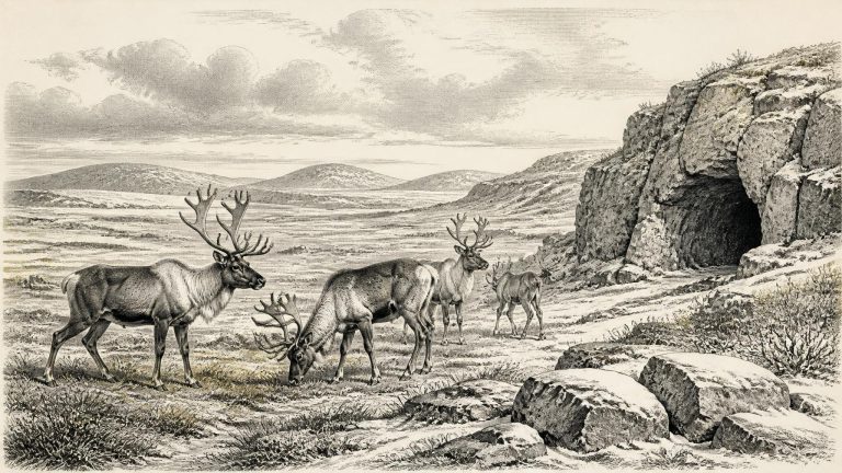
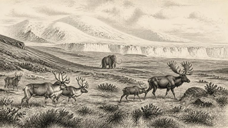
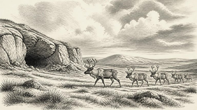
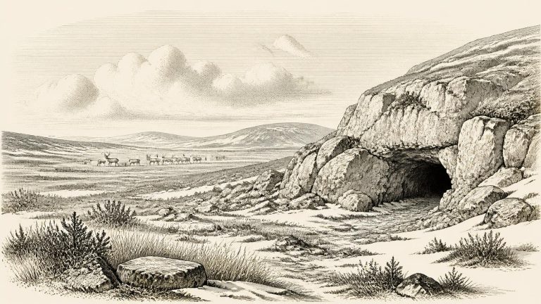
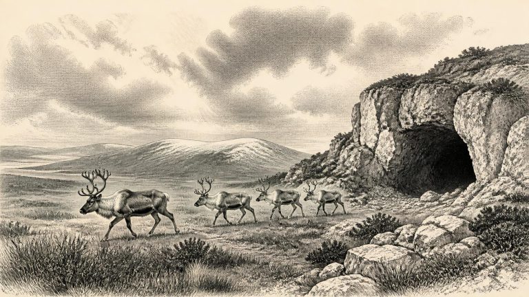
The familiar green, wooded Ireland of later millennia did not exist. Cold-stage conditions supported largely open vegetation: grasses, sedges, herbs and low shrubs rather than dense forest. The terrain would have varied sharply with altitude, exposure, soils and proximity to ice. Frost fractured rock, seasonal thaw moved sediment downslope, and sparse plant cover left ground vulnerable to wind and water erosion. Rivers behaved differently from their modern descendants, carrying greater loads of glacial or periglacial sediment. In limestone districts, caves and fissures offered sheltered traps in which bones, sediments and occasional traces of activity could accumulate.
The Ireland of this broad period was not yet the island familiar today. Its coastlines, sea levels, river valleys and connections with the surrounding continental shelf were all affected by the growth and decay of ice. Yet it would be misleading to picture a single, fixed scene. Geological evidence shows that ice margins and relative sea level changed repeatedly through the later Pleistocene. Research on western Ireland records high relative sea levels between about 40,000 and 19,000 cal BP, interpreted as evidence of substantial loading of the land by ice, while other deposits indicate rapid fluctuations of the ice margin. The point conventionally labelled 31,929 BCE falls within this changing world, not at a securely charted boundary between “ice-free” and “ice-covered” Ireland.
This notional year falls in the Late Pleistocene, within Marine Isotope Stage 3: a cold, climatically unstable phase of the last Ice Age. It preceded the fullest expansion of the last British–Irish Ice Sheet. Current syntheses place the period when ice entirely covered Ireland and extended towards the Atlantic and Celtic Sea shelf edges broadly around 27,000–23,000 calibrated years before present, although the growth and maximum extent of different sectors were not simultaneous. The island at 31,931 BCE was therefore approaching, rather than securely within, that later maximum.
The numbered year should not suggest false exactness. In archaeological convention, “before present” is measured from 1950, while BCE is a retrospective calendar system. A conversion from 31,932 BCE gives only an approximate position of about 33,900 years before present; it does not identify a single excavated deposit or a particular season. Radiocarbon ages are not calendar ages, and their calibration depends on a curve built from several natural archives, including tree rings, corals, lake sediments and cave deposits. At this antiquity, calibrated results can be broad and sometimes discontinuous.
Ireland was not simply a timeless white wilderness throughout the whole Ice Age. The climatic sequence was uneven, and the growth of the final great ice sheet was a process, not an instantaneous conquest of the island. Evidence from organic deposits sealed beneath till at Derryvree and Greenagho in County Fermanagh indicates that north-central Ireland had been ice-free until at least about 34,000 years ago. A synthesis of the evidence consequently places the principal build-up and expansion of the last Irish Ice Sheet between about 34,000 and 24,000 years ago. The numbered year in this article sits at or very close to the beginning of that long transition.
“31,934 BCE” is a modern way of naming a point far beyond the reach of any Irish calendar, written record or year-by-year archaeological sequence. It must not be treated as the date of a known event. In the conventional archaeological system of years before present, where “present” means 1950, it corresponds broadly to about 33,884 years ago. That places Ireland in the Late Pleistocene, within Marine Isotope Stage 3 (MIS 3), a climatically unstable interval of the last Ice Age.
At roughly 34,000 calendar years before present, the great ice sheet that would later dominate Ireland had not yet reached its maximum extent. Globally, ice sheets were building towards the Last Glacial Maximum, conventionally placed at about 26,500–19,000 years ago. Ireland’s climate was nevertheless far colder, more open and more variable than that of today. Marine Isotope Stage 3 was marked by abrupt swings between relatively milder interstadials and severe stadials. It would be misleading to imagine one fixed, unbroken scene of snow and glacier across the entire island. Conditions, vegetation cover, coastlines and animal ranges could change substantially over centuries and millennia.
This was a very different Ireland from the familiar green island of later millennia. Sea level was much lower than today because large volumes of water were held in northern ice sheets. Ireland, Britain and the continental shelf formed a changing north-west European margin, though the exact routes by which animals or people could have moved varied with sea level, coastlines, ice and climate. It is unsafe to imagine the modern Irish Sea or Atlantic coastline simply transplanted into the Ice Age.
Ireland at this point was not the green, wooded island familiar today. It lay in a cold-world north-western European setting, as climates swung repeatedly between relatively milder interstadials and severe cold phases. The great Last Glacial Maximum had not yet reached its fullest development: the major British–Irish Ice Sheet would become much more extensive later, with its greatest volume reconstructed at about 23,000 years ago. Yet ice growth was already becoming an important force in the region. Its advancing margins, changing sea levels and shifting drainage patterns would eventually erase or bury much of the evidence of earlier landscapes and any traces left by people.
At this point Ireland was not yet necessarily the wholly ice-covered land familiar from reconstructions of the Last Glacial Maximum. Syntheses of glacial evidence suggest that much of Ireland remained largely ice-free until roughly 32,000 years ago, after which the last Irish Ice Sheet expanded and thickened. Its advance was not instantaneous or uniform. Different sectors of the ice sheet reached their maximum offshore limits at different times, with the western and southern shelves occupied later than some northern areas. A date around 31,939 BCE therefore belongs close to a major environmental transition rather than securely within one simple, island-wide condition.
The date falls before the global Last Glacial Maximum, conventionally dated to about 26.5–19 thousand calibrated years before present, and before the local maximum of the British–Irish Ice Sheet, generally placed around 27,000 years ago. That distinction matters. Ice-sheet growth was not a single instant, nor did all parts of Ireland and the surrounding seas experience the same conditions at once. The island was moving into the severe later stages of the last Ice Age, but the evidence does not justify imagining it as a uniform, permanently frozen white expanse in 31,940 BCE.