Membership is completely free, giving members unlimited access to all available resources, services, features, and benefits without any restrictions or fees.
Welcome back. Sign in to continue enjoying unlimited access to all available resources, services, features, and member benefits at no cost.
Modern Ireland is used here as a geographical shorthand. There was no Irish state, no people called Irish, and no political territory with fixed borders. The island’s present coastlines were also a poor guide to the land and sea of the time. Global sea level was substantially lower than today because immense volumes of water were stored in continental ice sheets. Yet lower sea level did not automatically create a convenient dry crossing between Ireland and Britain: local land levels and water depths were altered by the changing weight of ice, while the Irish Sea basin remained a major environmental barrier. Any discussion of travel or contact must therefore remain conditional rather than imagining a simple land bridge.
About 34,000 calendar years before present, the land now called Ireland stood in a colder, unstable North Atlantic environment. This was not yet the peak of the last great glaciation. Reconstructions differ in local detail, but they agree that the British–Irish Ice Sheet expanded dramatically afterwards, reaching or approaching its greatest extent between roughly 27,000 and 23,000 calibrated years ago. By the height of that episode, much or perhaps nearly all of Ireland was under ice. In 31,978 BCE, therefore, the central historical fact is not an Irish kingdom, migration or monument, but a changing physical landscape on the threshold of severe glaciation.
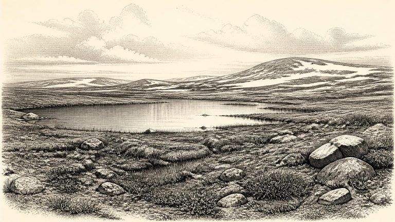
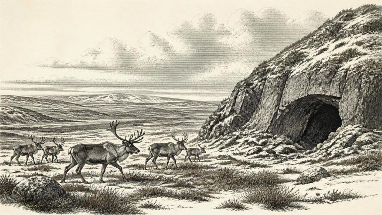
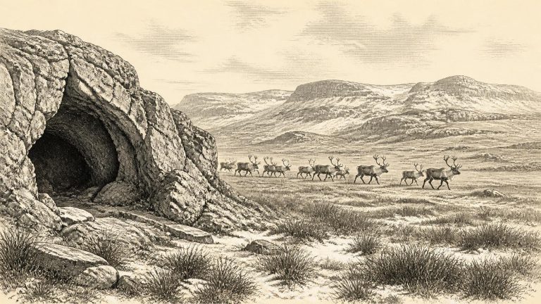
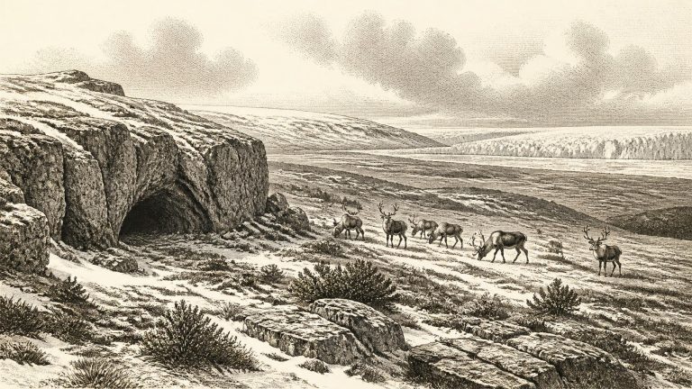
Ireland around this point was not the green, wooded island familiar from later prehistory. Nor should it simply be imagined as a single, unbroken white ice cap. The climate of the North Atlantic region changed sharply over millennia and sometimes more rapidly. Ice was growing and advancing in the wider British–Irish region, while the maximum extent of the last ice sheet came later, broadly between about 26,500 and 20,000 cal BP. Research on the continental shelf and on Irish landforms shows that the ice sheet eventually reached far beyond today’s coasts, in places to the shelf edge. At c. 33.9 ka cal BP, however, the precise extent, thickness and behaviour of ice in every Irish region remain matters of scientific reconstruction rather than direct observation.
Ireland lay at the north-western edge of Europe during the last glacial cycle. Around this notional year, the great British–Irish Ice Sheet had not yet reached its final maximum extent. Syntheses of the ice-sheet record place its major build-up after roughly 35,000–32,000 years ago, with maximum expansion later, broadly between 27,000 and 23,000 cal BP. This does not mean that Ireland was uniformly mild, open or free of ice at 31,980 BCE. Glaciers and ice caps could advance and retreat regionally; mountains, coasts and interior lowlands had very different conditions. The evidence instead warns against imagining either a wholly frozen island or a familiar green one.
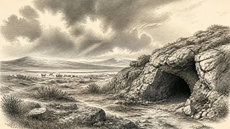
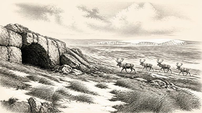
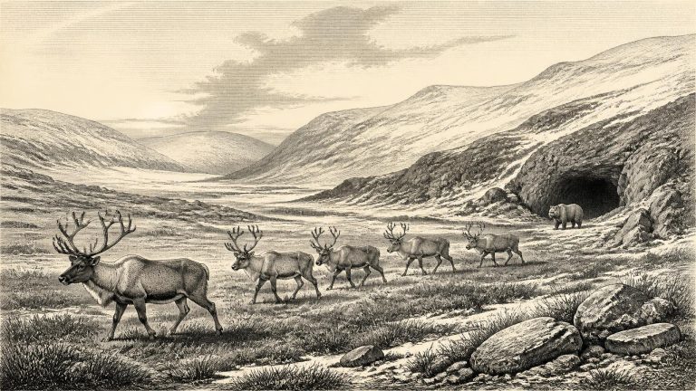
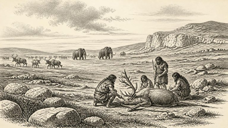
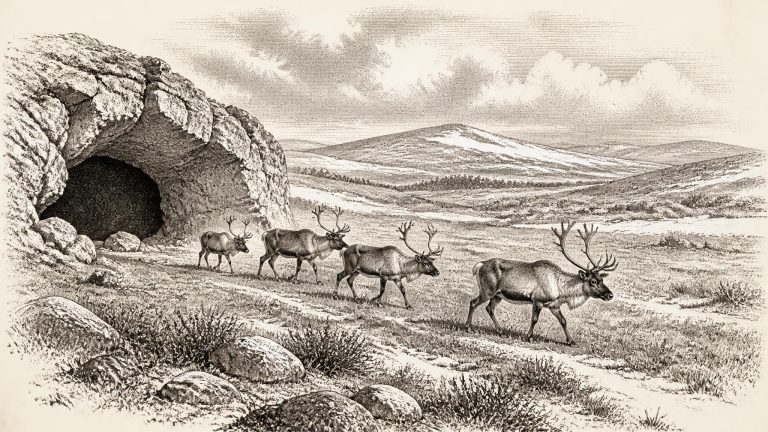
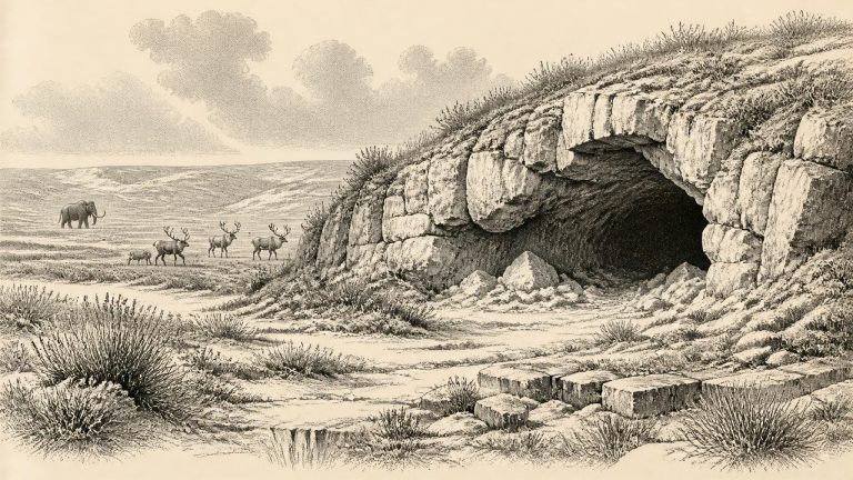
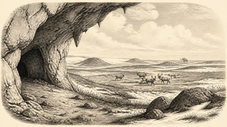
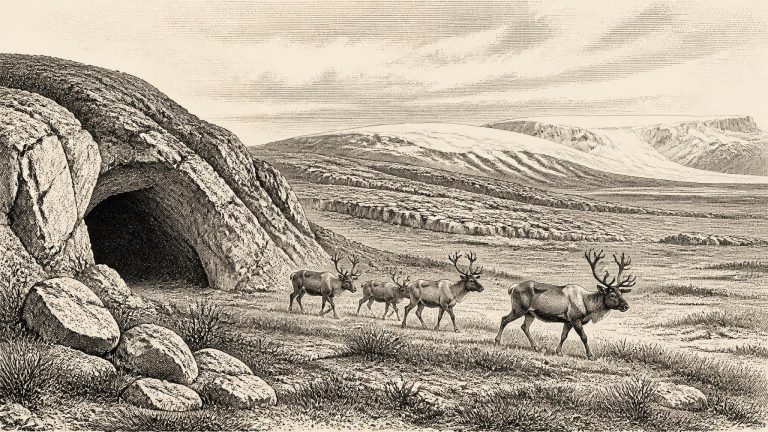
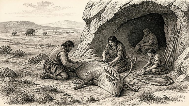
The particular modern year in this article lies close to the date assigned to a reindeer femur fragment from Castlepook Cave. Cork County Council identifies the object as Palaeolithic, circa 31,000 BC, in the Natural Museum collection, and reports a mark interpreted by zooarchaeologist Ruth Carden as having been made by a sharp stone tool during butchery. Public reporting has commonly expressed the result as evidence of people in Ireland around 33,000 years ago. Those formulations are useful headlines, but they should not be converted into “a hunt in 31,981 BCE”. The animal bone supplies an approximate age and a possible human action; it does not date the action to a particular season, establish the number or identity of people involved, or prove continuous settlement.
At about 34,000 years ago, Ireland lay within the unstable climate of Marine Isotope Stage 3, a long cold phase marked by abrupt swings between relatively milder and harsher conditions in the North Atlantic world. It was not yet the climatic nadir normally called the Last Glacial Maximum, generally placed later, around 26,000–19,000 calibrated years before present. Nor should Ireland at this date be pictured simply as the familiar modern island under a uniform white cap. The growth of the last British–Irish Ice Sheet was a process, varying between regions and through time; major reconstructions investigate its advance and retreat across the period from about 31,000 to 15,000 years ago.
This was the Late Pleistocene, within the last glacial cycle, and close to the beginning of the major growth phase of the British–Irish Ice Sheet. It was not yet the Last Glacial Maximum, the period of most extensive late Ice Age ice cover, generally placed much later, around 26,000–20,000 years ago. Reconstructions of the ice sheet show that expansion was regionally uneven: ice masses grew, merged and advanced at different times across Ireland, Britain and the surrounding shelf. Evidence from southern Ireland also indicates that some ground in north-central Ireland had remained ice-free until at least about 34,000 years ago, before the later build-up of the Irish ice sheet.
31,985 BCE is a useful modern label, not a date that people in prehistoric Ireland could have recognised. No Irish written chronology, ruler list or event record exists for this remote point in time. Archaeologists instead work with imperfect scientific dates: radiocarbon years, calibrated calendar-year ranges, sediment sequences and the changing record of ice. The assigned year lies roughly 34,000 years before the 1950 ‘present’ used in radiocarbon convention, within the later part of Marine Isotope Stage 3, a fluctuating phase of the last Ice Age. It cannot responsibly be narrowed to a particular season, generation or occurrence.
The phrase “around 31,986 BCE” should be read as a broad chronological marker, not as an anniversary. Archaeologists normally employ radiocarbon years, calibrated calendar ranges, uranium-series dates and other scientific chronologies. Their time-scales have different reference points and uncertainties. The conversion to a numbered BCE year may be useful for a year-by-year series, but it creates an illusion of precision that the record cannot sustain.
Ireland was not yet the familiar green, wooded island. Ice sheets had repeatedly remodelled its terrain during the Quaternary, but the timing and extent of the final great advance varied by region and remains an active field of research. Cosmogenic exposure evidence from northern and central uplands indicates that some ground was ice-free until at least about 34,000 years ago. Larger reconstructions of the British–Irish Ice Sheet show substantial growth after about 31,000 BP, with maximum volume and extent coming later, during the Last Glacial Maximum. Thus, around the notional date of 31,987 BCE, parts of Ireland may have stood in a cold, exposed zone before the island was overwhelmed or encircled by expanding ice. It would be wrong, however, to turn that broad finding into a precise map for one year.
Ireland lay in a changing Ice Age landscape. The great British–Irish Ice Sheet had not yet reached its fullest later extent, but ice was building in northern and upland regions, and conditions were becoming increasingly severe. Modern reconstructions stress that the precise limits of ice around 31,000 years ago remain uncertain because direct dates are sparse. They nevertheless indicate expanding ice in parts of the British and Irish region, with substantial regional variation rather than one simple, unchanging blanket of ice. The Last Glacial Maximum came later, broadly between about 26,000 and 19,000 years ago, when much or all of Ireland was likely glaciated.
This point falls within Marine Isotope Stage 3, during the wider Late Pleistocene cold stage conventionally called the Midlandian in Ireland and the Late Devensian in Britain. It preceded the fullest expansion of the last British–Irish Ice Sheet, but it belongs to the long climatic deterioration from which that ice sheet grew. Recent reconstructions show that the build-up, maximum extent and retreat of ice across Ireland and Britain were highly asynchronous: different sectors advanced and retreated at different times. The greatest ice volume in the most recent reconstruction occurred around 23,000 years ago, while some sectors had advanced earlier. That pattern is a warning against imagining a single, uniform moment when all of Ireland suddenly vanished beneath ice.
Ireland then lay at the far north-western edge of the European world. It was not yet in the full Last Glacial Maximum, conventionally dated to about 26,500–19,000 years ago, when an Irish sector of the British–Irish Ice Sheet covered the island and much of its surrounding shelf. Ice-sheet reconstructions instead indicate a complex, uneven build-up: the wider ice sheet expanded rapidly between roughly 31,000 and 26,000 years ago, while different regions reached their maxima at different times. It would be unsafe to draw a sharp ice margin across a map for 31,990 BCE. Nevertheless, the date belongs to the climatic deterioration before the maximum glaciation, when northern environments were becoming more severe and ice was an increasingly decisive force in shaping the region.
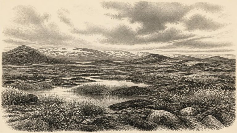
Ireland at about 32,000 BCE was not the familiar green and wooded island of later millennia. It lay on the north-western edge of Europe during a long cold phase marked by abrupt climatic shifts. The full Last Glacial Maximum, when the British–Irish Ice Sheet reached its greatest extent, lay ahead, conventionally placed around 26,000–19,000 years ago. Yet the ice sheet was already developing, and conditions varied sharply across regions and through time. Modern reconstructions model the growth and retreat of this ice complex from around 31,000 years ago, but their resolution is measured in millennia, not individual seasons or named BCE years.
At this depth of time, even apparently exact scientific ages need careful handling. Radiocarbon laboratories produce ages in radiocarbon years before present; archaeologists then calibrate them against changing atmospheric carbon levels, producing probability ranges rather than a single true year. Geological reconstructions add further uncertainty because they combine dates from caves, sediments, landforms and marine cores. Accordingly, 31,992 BCE should be read as “about 34,000 years ago”, not as a point at which a specific event happened. It belongs to a broad interval in which Ireland’s climate, ice cover and coastlines were changing, sometimes rapidly by Pleistocene standards.
Calendar-year precision disappears rapidly in the Upper Palaeolithic. Radiocarbon measurements are reported as years “BP” — before AD 1950 — and must be calibrated against changing atmospheric carbon levels to estimate calendar ages. Near 34,000 years ago, dates may carry uncertainties of centuries or more; cave deposits can also contain bones accumulated at different times and later disturbed by water, animals or excavation. A specimen dated to a broad interval around this period is evidence for that interval, not for an event occurring on 1 January or any other day in 31,993 BCE.
This was before the Last Glacial Maximum, the phase when the last Irish Ice Sheet reached its greatest overall extent. It was not, however, a benign interval. The climate of MIS 3 was unstable, marked by sharp cold episodes and warmer interstadials. Ice sheets, glaciers, sea level, vegetation and animal ranges changed repeatedly over timescales far longer than a single human lifetime but short in geological terms.
The apparent precision of 31,995 BCE can be misleading. Archaeologists normally date this era in radiocarbon years before present (BP, where “present” is conventionally 1950), then calibrate those measurements against independent records of past atmospheric carbon. A radiocarbon result is not automatically a calendar date: calibration can produce a range, sometimes a broad or discontinuous one. The most secure chronological language for Ireland at this point is consequently “about 34,000 years ago” or “during MIS 3”, not an exact annual anniversary.
Modern calibrated radiocarbon chronologies are expressed as ranges because each result has a statistical uncertainty and because atmospheric carbon levels changed over time. A date such as 31,996 BCE cannot simply be matched to a single radiocarbon measurement. The evidence most relevant to Ireland spans broad intervals: especially roughly 40,000–30,000 radiocarbon years BP in cave-fauna studies, and larger calibrated ranges around them. Nor should “Ireland” be imagined as an unchanging island. Sea levels were lower than today, coastlines lay farther out, and the Irish Sea basin had a different physical geography. Yet water, changing shorelines and ice were formidable constraints on movement.
There are no written sources, inscriptions, graves, houses, hearths or securely excavated tool assemblages from Ireland that can be assigned to 31,997 BCE. Nor can conventional radiocarbon ages be converted into a single historical year without qualification. Radiocarbon results must be calibrated against changing atmospheric carbon levels, and their outcomes are ranges of probability, not anniversary dates. For this early period, a cautious phrase such as around 34,000 years ago is more meaningful than an apparently exact year.
Around this broad date Ireland lay at Europe’s Atlantic north-western edge. Sea level was much lower than today because immense quantities of water were locked in continental ice sheets. The present coastline, Irish Sea and continental shelf cannot simply be projected backwards: exposed plains, changing channels and ice barriers altered routes between Ireland, Britain and continental Europe. Whether a particular crossing was practicable depended not only on distance, but on season, weather, sea ice, rivers and the advance of glaciers. Later reconstructions show Ireland becoming fully engulfed at the Last Glacial Maximum, conventionally placed around 27,000–23,000 calibrated years BP; that maximum lay in the future of the date considered here.
The island’s familiar outline is misleading for this remote period. Sea level was much lower than today because immense volumes of water were locked in global ice sheets, exposing wider continental shelves around Ireland. Yet lower sea level did not automatically create a walkable land bridge from Ireland to Britain or continental Europe. Research on the Irish Sea has long stressed that any late-glacial connection was, at best, limited, temporary and geographically complex; it should not be assumed for 32,000 BCE. Water, sea ice, rugged coasts and changing glaciers were barriers as well as possible routes.