Membership is completely free, giving members unlimited access to all available resources, services, features, and benefits without any restrictions or fees.
Welcome back. Sign in to continue enjoying unlimited access to all available resources, services, features, and member benefits at no cost.
“31,941 BCE” is a modern chronological label, not a year that can be isolated in the Irish archaeological record. There were no calendars, written documents, named individuals or dated political events in Ireland at this depth of time. The label corresponds only approximately to 33,900 years before present (where “present” conventionally means AD 1950), within the Late Pleistocene and Marine Isotope Stage 3, a climatically volatile phase of the last Ice Age. Responsible dating is therefore expressed as radiocarbon determinations and calibrated ranges, not as an assertion that a particular event occurred in this numbered year.
At about 33,900 years ago, Ireland lay on the north-western edge of Europe, exposed to strong climatic shifts in the North Atlantic region. It should not simply be imagined as an island uniformly sealed beneath ice. Reconstructions of the British–Irish Ice Sheet show growth was spatially complex, with local ice centres, changing marine margins and advances that did not occur everywhere at once. The great expansion that carried ice far across the continental shelf lay ahead. Around this earlier point, some districts may have been ice-covered or affected by glacier ice, while others could have supported cold-adapted plants and animals. Precision beyond that is not responsible: current evidence cannot provide a detailed island-wide map for 31,942 BCE.
The distinction between radiocarbon and calendar time matters especially here. ‘Before present’ in radiocarbon work conventionally uses AD 1950 as its reference point, and a radiocarbon age is not a calendar age. Atmospheric carbon levels have varied over millennia, so measurements must be calibrated against international curves such as IntCal20. Beyond about 25,000 calendar years ago, the resulting ranges are necessarily broad. The responsible language is therefore ‘c. 40,000–34,000 calibrated years before present’, or a similarly qualified range where the individual sample and method warrant it, not a claim that an event occurred in 31,943 BCE.
This was long before the Last Glacial Maximum, the cold peak conventionally placed about 26,000–19,000 calibrated years before present. Yet ice was expanding across the wider British–Irish region. Large-scale reconstructions suggest that, by about 31,000 years before present, ice was already growing in parts of Ireland and around its northern approaches, while the exact limits, thickness and timing varied from place to place. Projecting that reconstruction back almost 3,000 more years to 31,944 BCE requires caution. It would be misleading to picture the whole island beneath an unbroken ice sheet at this moment. Equally, it was no mild green island: severe winters, frost action, sparse plant cover and unstable climatic swings shaped much of the land.
At roughly 34,000 calendar years before present, the land now called Ireland lay in a climatically unsettled phase before the Last Glacial Maximum. The maximum expansion of the British–Irish Ice Sheet came later, broadly between about 26,500 and 19,000 calibrated years BP, although ice had already been growing and advancing within the wider region. Reconstructions based on landforms, offshore sediments and dating are excellent for broad changes in ice-sheet extent, but they cannot give a weather report for 31,945 BCE. Nor do they justify imagining a uniformly frozen island at every moment before the maximum. Conditions varied over long and shorter climatic oscillations, while ice, snowfields, exposed ground, rivers and coastal margins changed their positions.
Ireland then stood on the threshold of the last great expansion of the British–Irish Ice Sheet. It was not yet simply the ice-covered island of popular imagination. Geological evidence from beneath later glacial deposits at Derryvree and Greenagho in County Fermanagh indicates ice-free conditions in north-central Ireland until at least about 34,000 years ago. The calibrated ranges are broad: organic material at Derryvree falls within c. 36,900–31,700 cal BP, while material at Greenagho falls within c. 37,200–35,700 cal BP. They establish an environmental sequence, not the weather or shoreline of a particular year.
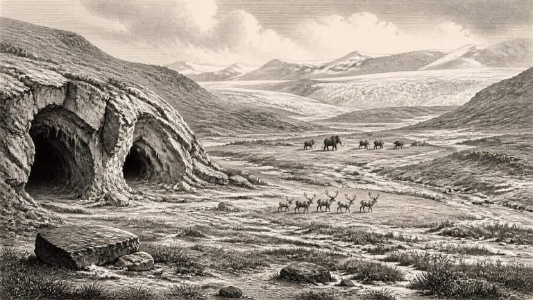
Ireland was not yet simply the ice-covered land often imagined for the peak of the last glaciation. The British–Irish Ice Sheet reached its greatest overall volume much later, around 23,000 years ago, while its expansion was uneven and regionally complex. Research reconstructing the ice sheet suggests that from roughly 34,000 years ago ice was building across parts of Britain and Ireland. At about 31,000 years ago, modelled reconstructions show centres of ice accumulation on high ground, including Northern Ireland, but acknowledge major uncertainty in the exact margins. Thus, around the nominal date of 31,947 BCE, conditions could have differed dramatically between districts: uplands and northern areas may have supported expanding ice, while other zones retained exposed ground, lakes, rivers, caves and cold grassland.
The date falls in Marine Isotope Stage 3, a cold and climatically unstable part of the last glacial cycle, before the fullest development of the Last Glacial Maximum. The British–Irish Ice Sheet was not a fixed white blanket advancing everywhere at one speed. Ice expanded and contracted in distinct sectors, responding to climate, snowfall, sea level, topography and the behaviour of fast-flowing ice streams. Large reconstructions of the ice sheet identify the period from about 31,000 to 15,000 years before present as one of growth, maximum extent and retreat, with maximum ice volume and many outer margins reached later, broadly during the mid-20,000s years before present.
Ireland at this time was not the familiar green, wooded island of later millennia. The climate was cold, variable and embedded in the larger North Atlantic world of advancing and retreating ice. The British–Irish Ice Sheet was growing during the later part of Marine Isotope Stage 3, but the exact extent and timing of ice across every Irish region remain subjects of continuing research. Reconstructions broadly place the decisive build-up of the ice sheet after about 35,000–32,000 years ago, with its maximum extent later, around 27,000–21,000 years ago. Thus 31,952 BCE belongs not simply to a moment when ‘Ireland was under ice’, but to a changing glacial landscape in which ice margins, exposed ground, sea level and habitats could differ considerably from place to place.
This was not yet the peak of the last glaciation. The Last Glacial Maximum is conventionally placed later, broadly about 26,500–19,000 years ago, when the British–Irish Ice Sheet attained its greatest overall extent. Yet the cold world which would produce that maximum was already taking shape. Reconstructions of the British–Irish Ice Sheet indicate substantial expansion after roughly 31,000 years ago, with different sectors advancing at different times. The exact coverage of Ireland at any moment around 31,953 BCE remains uncertain: an ice sheet is not a static white blanket, but a changing system of snow accumulation, flowing ice, meltwater and shifting margins.
Radiocarbon results are not calendar dates until they have been calibrated against changing atmospheric levels of carbon-14. At ages approaching 34,000 years, the resulting calibrated ranges can be broad and sometimes irregular. Moreover, a date obtained from an animal bone identifies when that animal died, not automatically when people handled it. The modern re-dating of faunal material from Castlepook has demonstrated exactly why caution is needed: improved pretreatment methods produced dates thousands of radiocarbon years older than several earlier results. Such revision is not a flaw in archaeology; it is a reminder that the evidence and its chronology are continually tested.
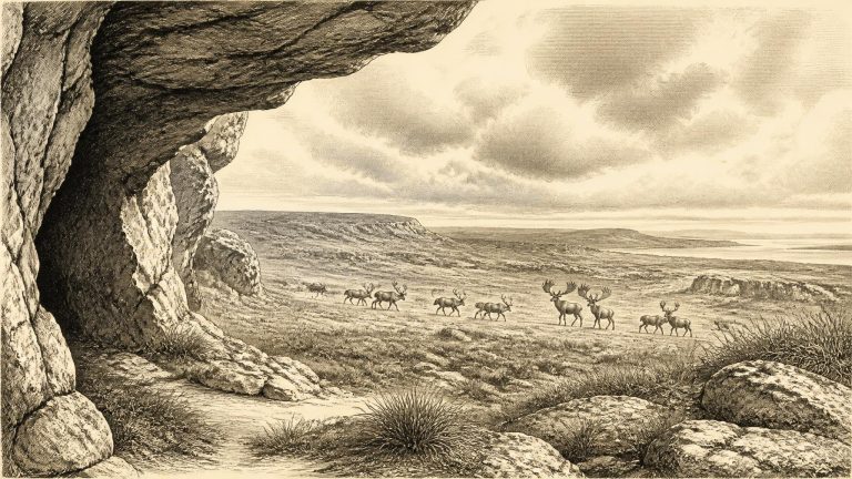
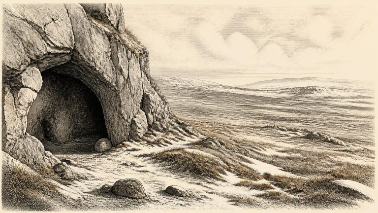
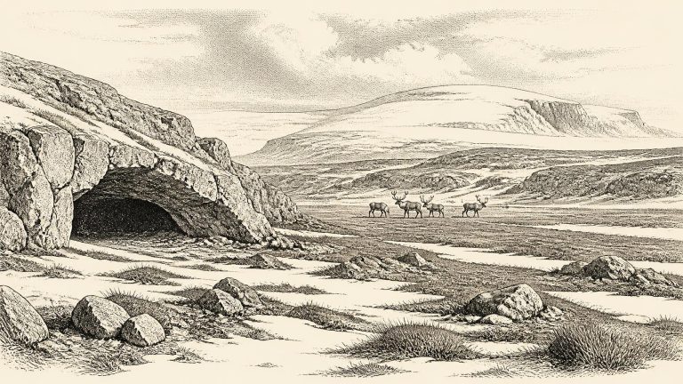
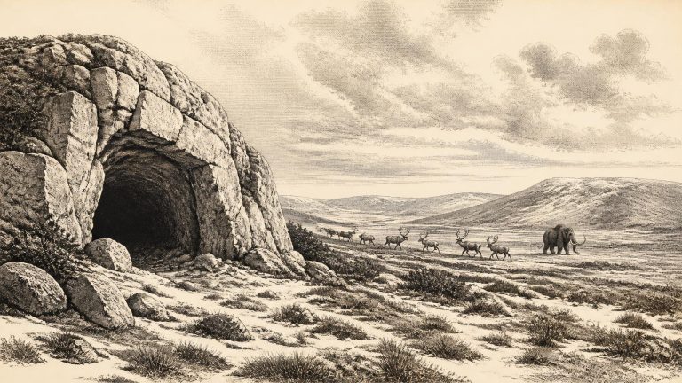
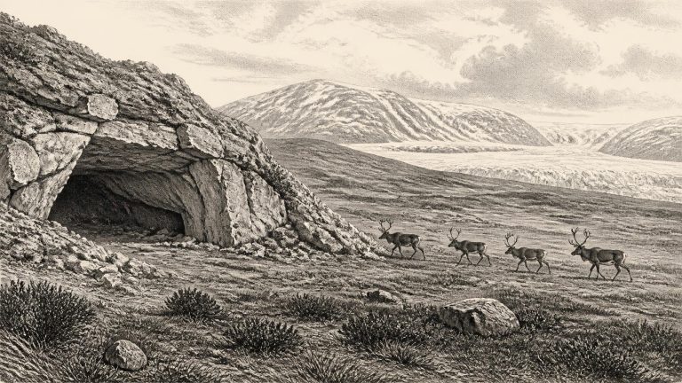
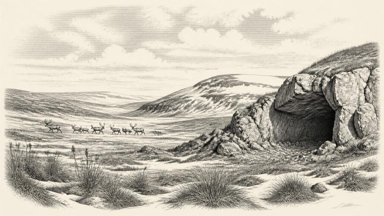
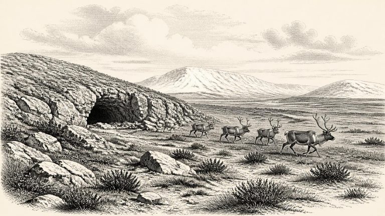
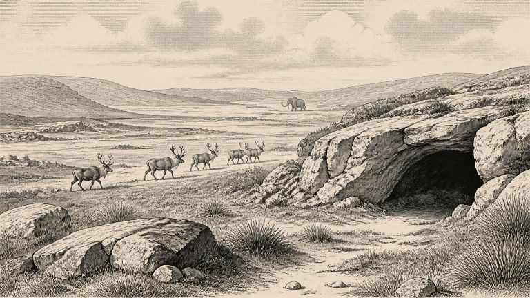
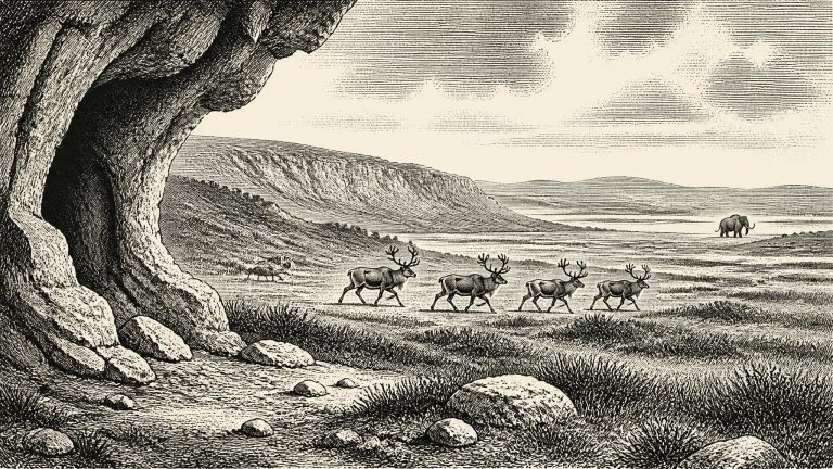
Ireland at this time was not the familiar green, wooded island of later millennia. The climate was cold and highly variable, and the landscape was being shaped by frost, snow, meltwater, wind and advancing or retreating ice. Yet it would be misleading to picture every part of the island as continuously buried beneath a single unchanging ice sheet. The timing, extent and thickness of ice across Ireland before the Last Glacial Maximum remain subjects of active research. Geological reconstructions indicate that the major maximum of the British–Irish Ice Sheet came later, broadly between about 26,000 and 19,000 years ago, while evidence from some uplands suggests that areas of northern and central Ireland remained ice-free until at least around 34,000 years ago.
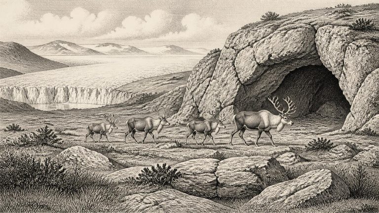
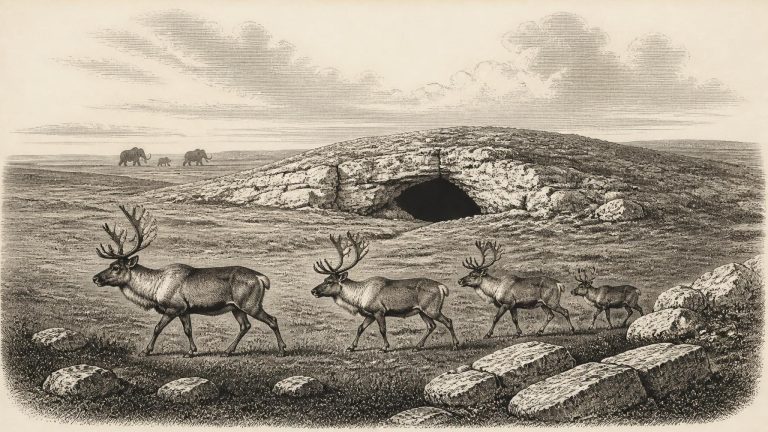
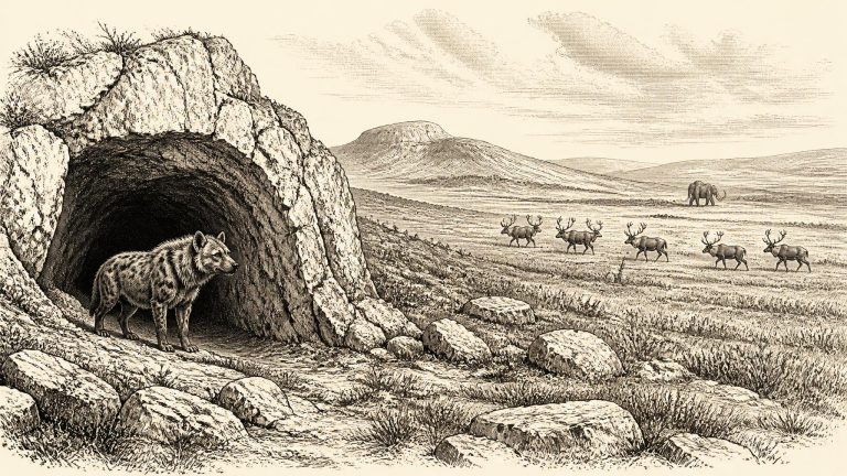
The date 31,957 BCE is close to, but should not be equated exactly with, claims concerning a reindeer bone from Castlepook Cave near Doneraile in north County Cork. County Cork heritage publications describe the fragment of reindeer femur as c. 31,000 BCE and identify a deep mark interpreted by zooarchaeologist Ruth Carden as having been made by a sharp stone tool during butchery. The wider Castlepook fauna includes animals whose radiocarbon determinations belong to the middle and later parts of the Late Pleistocene. Yet the precision implied by a single numbered year is illusory: radiocarbon results have errors, must be calibrated, and dates from older excavated collections require particular care.
Radiocarbon ages need calibration against changing atmospheric carbon levels, and calibrated ranges, not neat calendar points, are the appropriate measure. The date assigned to this article lies approximately 33,900 calendar years before 1950, but the nearest Irish evidence does not provide a securely dated event in 31,958 BCE itself. Nor do we possess a human skeleton, hearth, dwelling floor, stone-tool assemblage, burial or settlement that can be assigned to this point. What can be discussed is a changing Irish environment and a small, important body of faunal and archaeological evidence spanning several millennia before the major ice expansion.
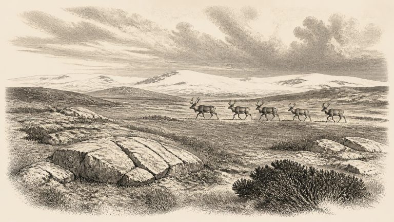
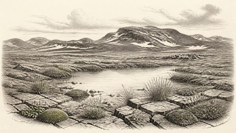
Ireland was entering a severe late phase of the last Ice Age, but it was not yet at the full Last Glacial Maximum. The British–Irish Ice Sheet expanded dramatically during the later part of Marine Isotope Stage 3, while its greatest overall extent came later, broadly between about 27,000 and 23,000 years ago. Reconstructions are necessarily regional rather than year-specific: ice margins advanced and retreated unevenly, and conditions differed between western uplands, southern lowlands and the basins now submerged beneath the Irish and Celtic Seas. It would be misleading to picture every part of the island in 31,960 BCE as a single, permanent white ice cap. Equally, it would be wrong to imagine a mild, wooded Ireland. This was a cold, exposed northern landscape increasingly affected by ice growth, frost action and powerful seasonal change.
Ireland stood on the north-western edge of Upper Palaeolithic Europe, in a climate far colder and less stable than today’s. The great Last Glacial Maximum, when the British–Irish Ice Sheet became most extensive, still lay ahead, conventionally placed broadly between about 27,000 and 21,000 years ago. Yet recent reconstructions show that the growth of the ice sheet was neither simple nor simultaneous everywhere. Ice had begun to advance in parts of the wider British–Irish system during the later stages of MIS 3, while other areas could remain exposed or experience shifting ice margins. Around the date represented here, Ireland should be envisaged not as a uniformly buried white continent, nor as familiar green pasture, but as a severe, regionally varied Ice Age landscape approaching major glaciation.
Ireland at this broad point in time was not the uniformly ice-covered land often imagined from the phrase “Ice Age”. The fullest expansion of the last Irish Ice Sheet, conventionally placed around 27,000–23,000 calibrated years ago, lay later. Research on sub-till organic deposits suggests that much of Ireland was ice-free until about 32,000 years ago, though the growth and extent of the ice sheet varied between regions and remain the subject of active investigation. A date around 33,900 cal BP therefore belongs to the period immediately before, or during the early stages of, the major advance that would transform the island’s surface.
At this depth of time, dates are expressed as ranges because radiocarbon measurements need calibration and because deposits are not clocks with annual resolution. The International Calibration Curve defines “BP” as before AD 1950 and shows why conventional radiocarbon ages must be converted into calendar-age ranges rather than simply translated into BCE dates. The date 31,963 BCE should consequently be read as “around 34,000 calendar years ago”, not as 1 January of a prehistoric year.
At around this point in the deep past, Ireland lay at the north-western edge of the European world inhabited by Upper Palaeolithic hunter-gatherers. It was not yet the fully ice-covered landscape associated with the peak of the Last Glacial Maximum, conventionally dated in global terms to about 26,500–19,000 years ago. The last Irish ice sheet expanded and reorganised over a long period, and its extent differed from region to region. Later glacier movement also eroded, buried and dispersed earlier deposits. This is one reason why the Irish record for the period is so much thinner than that of France, Iberia, southern Britain or central Europe.
The distinction between calendar years, radiocarbon years and calibrated ages matters especially here. Radiocarbon measurements are not themselves calendar dates: their conversion into calibrated ranges depends on changing atmospheric carbon levels and carries margins of uncertainty. Nor do the available Irish deposits allow scholars to identify conditions in one numbered year. It is safer to speak of the interval around 34,000 calibrated years ago, and to test broad reconstructions against several independent forms of evidence.
At this point Ireland was not the green, wooded island familiar today. It lay within the north-west European glacial world, exposed to severe climatic swings and profoundly altered sea levels. The Last Glacial Maximum proper came later: current syntheses place the last major advance of the Irish Ice Sheet broadly between about 27,000 and 23,000 calibrated years BP, although the timing and extent of ice varied markedly between regions. The British-Irish Ice Sheet was not a fixed white blanket that arrived everywhere at once. Its margins, flow routes and thickness altered over millennia, responding to climate, topography and the dynamics of fast-flowing ice streams.
Ireland at this point lay in the later part of Marine Isotope Stage 3, a prolonged cold phase within the last Ice Age. It was not yet the fullest extent of the last British–Irish Ice Sheet, whose major growth across the Irish and British region occurred later, especially between about 31,000 and 26,000 years ago. The familiar Last Glacial Maximum is generally placed much later, around 26,000–19,000 years ago. It is therefore misleading to picture all of Ireland in 31,967 BCE as buried beneath a single, static mass of ice. Ice cover, snowfields, permafrost, vegetation and coastlines changed markedly between regions and through time.
Calendar-year precision is not available. Archaeologists and Quaternary scientists instead use calibrated ranges, usually expressed as cal BP, meaning calibrated calendar years before AD 1950. These ranges are not interchangeable with old radiocarbon ages, and they rarely map neatly on to a BCE label. For example, organic deposits beneath later glacial sediments at Greenagho in County Fermanagh have been dated to about 37,200–35,700 cal BP; they show that north-central Ireland had ice-free conditions until at least about 34,000 years ago. That evidence lies near, but not exactly at, the modern year label used for this article.
The island lay within the long cold interval commonly called the Midlandian glaciation in Ireland, part of the wider last glacial cycle of north-west Europe. Yet it would be misleading to picture 31,969 BCE simply as the height of an unbroken, island-wide ice cap. The conventional Last Glacial Maximum came later, roughly 27,000–23,000 calibrated years before present in Irish reconstructions, when ice covered Ireland and extended across much of its continental shelf. Evidence for the preceding phase is more difficult to date and interpret. Recent syntheses recognise ice-sheet growth, retreat and renewed advance during Marine Isotope Stage 3, but also stress that securely dated glacial deposits for this earlier interval remain scarce.
Ireland was within the last glacial period, but it should not simply be pictured as a country buried continuously beneath ice. The scale, timing and regional pattern of ice growth remain active subjects of research. Some evidence indicates that north-central Ireland retained ice-free ground until at least about 34 ka, while reworked marine shells suggest open water off north-western Ireland during portions of the preceding millennia. Other work argues for more extensive ice-sheet growth during the wider last cold stage. The most secure conclusion is that this was a transitional, climatically unstable world: ice was advancing in some sectors, but the island’s cover was neither uniform nor fixed at a single moment.
Ireland was entering a period of profound climatic deterioration. The Last Glacial Maximum itself lay ahead, conventionally placed at roughly 26,000–19,000 cal BP, but ice sheets were already growing across the north-west European margin. Reconstructions differ over precisely when particular Irish districts became ice-covered and how far ice extended at successive stages. That uncertainty is important: it rules out a single, confident map for 31,972 BCE. Nevertheless, the broad sequence is secure. Ireland was not yet the wholly ice-dominated land it would become later in the glaciation, while the advancing cold was reshaping habitats, river systems, coastlines and routes of animal movement.
31,973 BCE is not a year that can be recovered in the manner of a historical year. No written record, named individual, settlement, tool assemblage or securely dated event permits a calendar-date narrative for Ireland at this depth of time. The number is a modern convention: expressed against the archaeological timescale, it falls at roughly 33,900 calendar years before present (where “present” conventionally means 1950), within Marine Isotope Stage 3, a long and climatically unstable part of the last Ice Age. Radiocarbon results from this era must be calibrated, and even calibrated ranges commonly span centuries or more. The responsible subject, therefore, is Ireland around this point, not an imagined occurrence on a particular day or in a particular year.
Archaeologists and Quaternary scientists use several clocks. Radiocarbon dates on bone are calibrated against changing atmospheric carbon levels and normally produce date ranges rather than a single exact year. Luminescence dating estimates when sediment was last exposed to light, while cosmogenic dating measures how long rock surfaces have been exposed to cosmic rays. Each method has uncertainties, and the evidence is unevenly distributed. A bone date records the death of an animal, not automatically the arrival of people; a glacial deposit can show that ice passed through an area, but not the weather on a particular day.
31,975 BCE is a modern way of labelling a point almost 34,000 years before the conventional radiocarbon “present” of 1950—roughly 33,925 calendar years ago. It must not be mistaken for a year in which an Irish event can be dated. No written record, settlement sequence, ruler, battle, voyage or named community exists for Ireland at this depth of time. Even radiocarbon dates from this period produce calibrated ranges rather than single calendar years, and cave deposits often preserve material accumulated over long intervals. The responsible subject is therefore Ireland in the later part of Marine Isotope Stage 3, before the Last Glacial Maximum, not an imagined episode on a particular day or in a particular year.
The nearest particularly informative sequence lies at Derryvree, near Maguiresbridge in County Fermanagh. Road works exposed freshwater silts and fine sands later buried beneath glacial deposits. Organic material from the deposit produced a radiocarbon age of about 30,500 radiocarbon years before present; when calibrated, the published range is approximately 36,900–31,700 calendar years before present. The nominal year 31,976 BCE lies within that broad interval. It is not possible to say that the deposit formed in that exact year, but it is responsible to regard it as evidence for conditions in northern inland Ireland at roughly this time.